Little Funziegord Geo
Coastal Feature, Headland, Point in Shetland
Scotland
Little Funziegord Geo
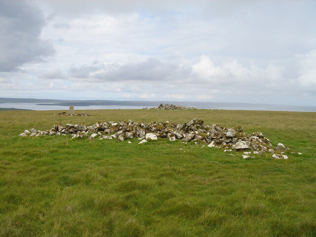
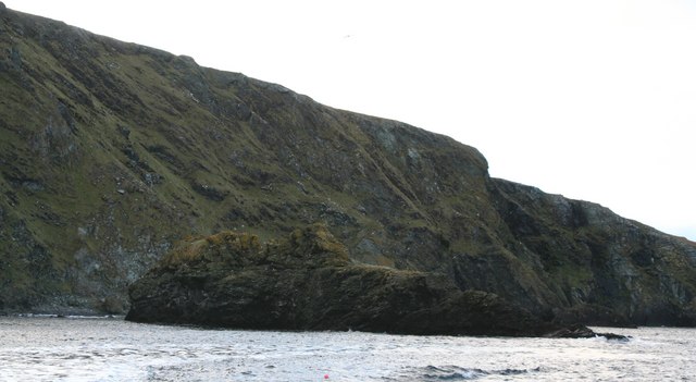
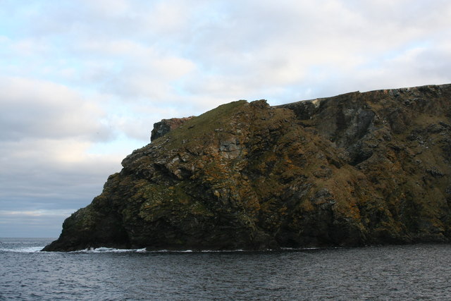
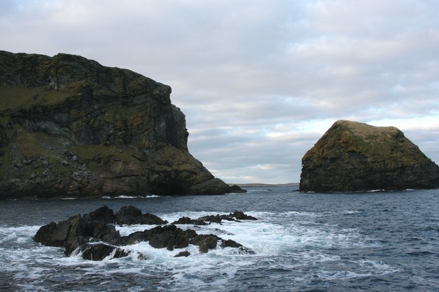
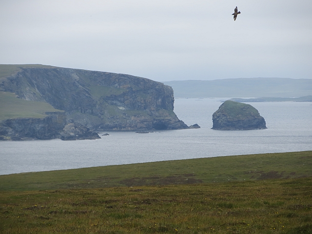
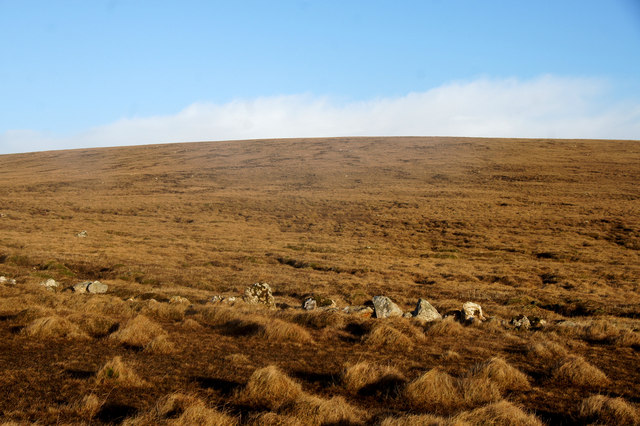
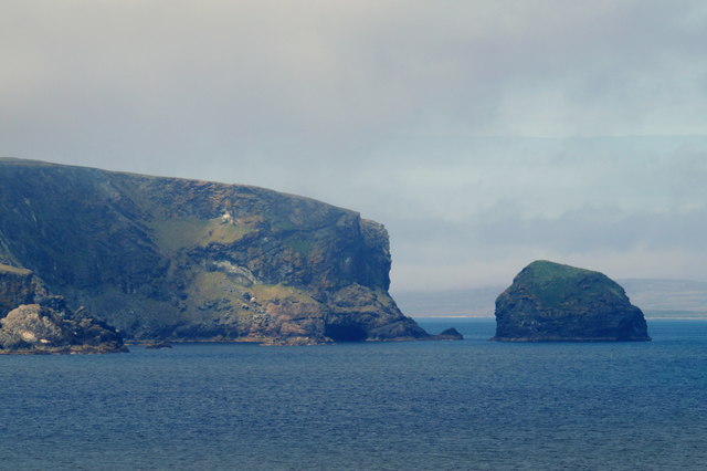
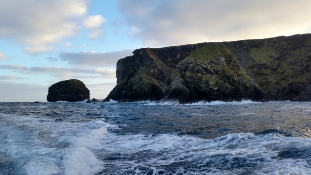
Little Funziegord Geo is a prominent coastal feature located in the Shetland Islands, Scotland. It is classified as a headland or point, jutting out into the North Sea. This impressive geological formation is characterized by its rugged cliffs, which rise steeply from the water below.
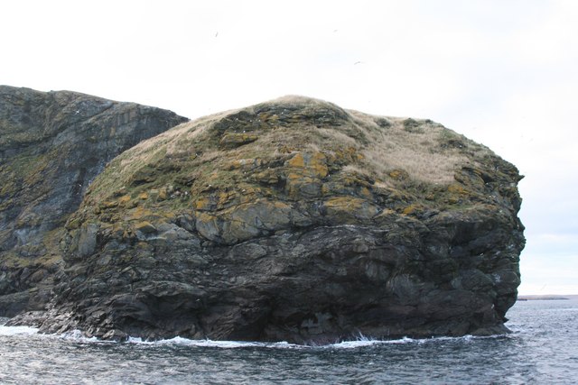
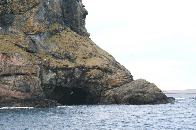
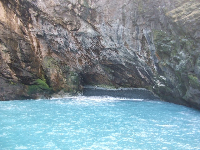
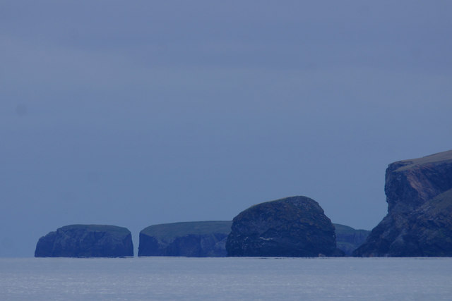
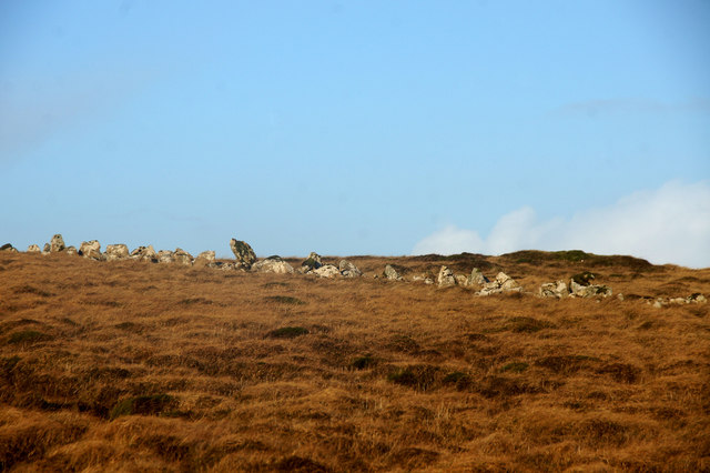
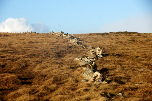
Situated on the east coast of the Shetland mainland, Little Funziegord Geo offers breathtaking views of the surrounding landscape, including the nearby rugged coastline and the vast expanse of the North Sea. Its dramatic cliffs, reaching heights of over 30 meters, are composed of layers of sedimentary rocks, showcasing the area's rich geological history.
The geo is home to a diverse range of wildlife, making it a haven for nature enthusiasts. Birdwatchers flock to Little Funziegord Geo to spot various seabirds, including guillemots, razorbills, and puffins, which nest along the cliffs. Seals can often be seen basking on the offshore rocks, adding to the area's natural charm.
Access to Little Funziegord Geo is relatively easy, with a coastal path leading visitors to the point. The path provides stunning views of the surrounding landscape and ample opportunities for photography. However, caution is advised when navigating the cliffs, as they can be hazardous due to their steepness and loose rocks.
Whether one is interested in geology, birdwatching, or simply appreciating the beauty of Scotland's coastal scenery, Little Funziegord Geo offers a memorable and awe-inspiring experience. Its rugged cliffs, diverse wildlife, and breathtaking views make it a must-visit destination for nature enthusiasts and visitors to the Shetland Islands.
If you have any feedback on the listing, please let us know in the comments section below.
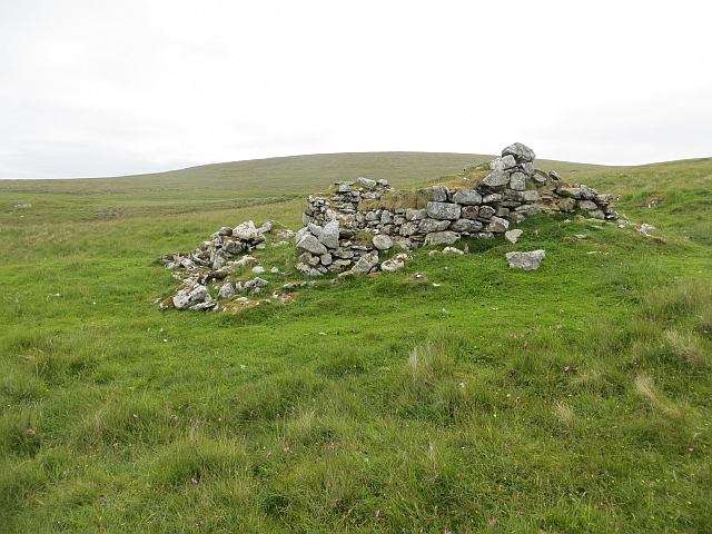
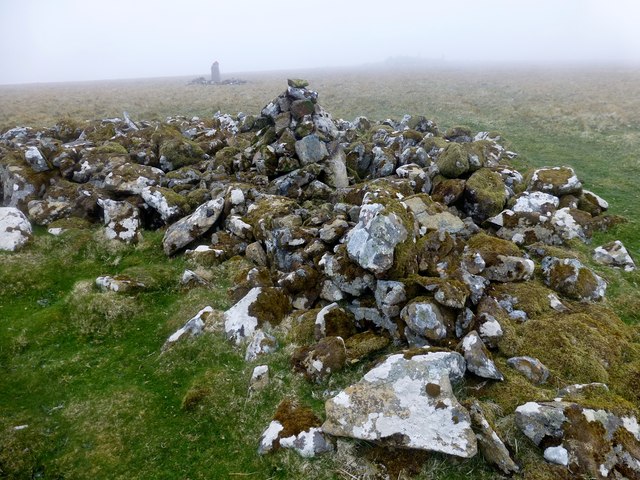
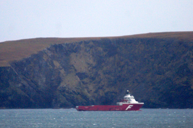
Little Funziegord Geo Images
Images are sourced within 2km of 60.630754/-0.85838096 or Grid Reference HU6294. Thanks to Geograph Open Source API. All images are credited.
Little Funziegord Geo is located at Grid Ref: HU6294 (Lat: 60.630754, Lng: -0.85838096)
Unitary Authority: Shetland Islands
Police Authority: Highlands and Islands
What 3 Words
///saying.stung.insolvent. Near Houbie, Shetland Islands
Related Wikis

Funzie Girt
Funzie Girt (; Scots: Funyie Girt "Finns' dyke") is an ancient dividing wall that was erected from north to south across the island of Fetlar in Shetland...

Haltadans
Haltadans, also known as Fairy Ring or Haltadans stone circle, is a stone circle on the island of Fetlar in Shetland, Scotland. This site is a ring of...

Urie Lingey
For other islands with similar names, see Linga (disambiguation) Urie Lingey is one of the Shetland Islands. It is between Fetlar and Unst, and Yell is...

Fetlar
Fetlar (Scots: Fetlar) is one of the North Isles of Shetland, Scotland, with a usually resident population of 61 at the time of the 2011 census. Its main...

Haaf Gruney
Haaf Gruney is a small island in the north east of the Shetland Islands. == Geography and geology == The island is between Unst and Fetlar which are to...

Hamars Ness
Hamars Ness is a headland on the island of Fetlar in Shetland, Scotland. The name is from the Old Norse Hamarsnes meaning "craggy headland". A ro-ro ferry...

Uyea, Unst
Uyea (Scots: Uyea) is an uninhabited island, lying south of Unst in Shetland, Scotland. == History == The island was inhabited as early as the Bronze Age...

Sound Gruney
For other islands with similar names, see Gruney (disambiguation) Sound Gruney is one of the Shetland islands. It lies about 1.5 kilometres (0.93 mi)...
Have you been to Little Funziegord Geo?
Leave your review of Little Funziegord Geo below (or comments, questions and feedback).