Skuda Geo
Coastal Feature, Headland, Point in Shetland
Scotland
Skuda Geo
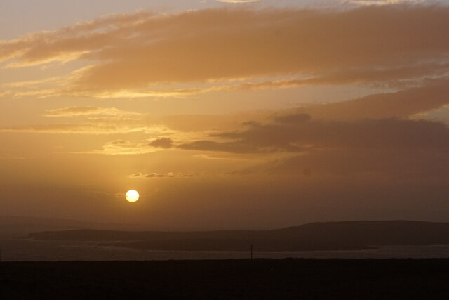
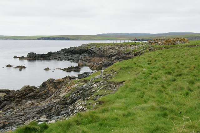
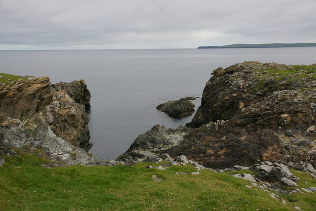
Skuda Geo is a prominent coastal feature located on the Shetland Islands, Scotland. It is classified as a headland or point due to its distinctive shape and geographical characteristics. Skuda Geo is situated on the western coast of the Mainland, the largest island in the Shetland archipelago.
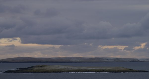
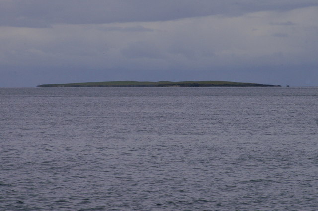
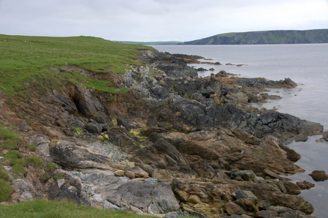
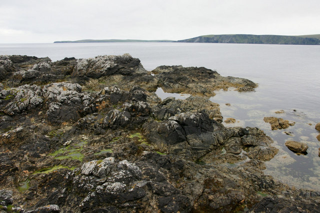
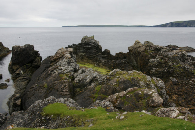
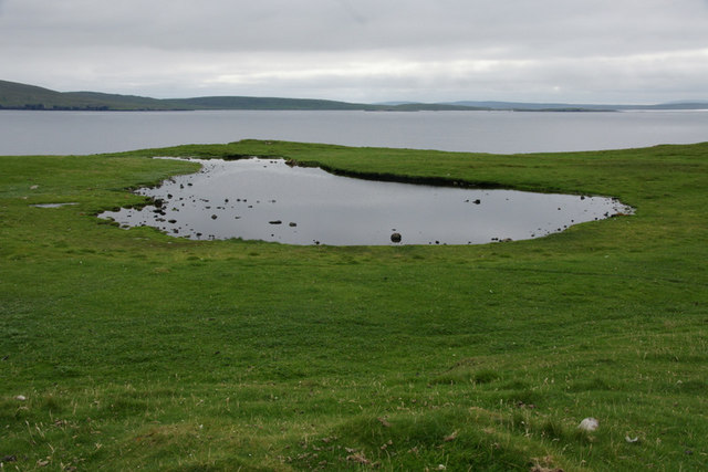
The headland is characterized by its rocky cliffs that rise steeply from the sea, providing breathtaking views of the surrounding area. Skuda Geo is known for its rugged and wild beauty, with its jagged coastline and dramatic coastal formations. These features make it a popular destination for hikers, photographers, and nature enthusiasts.
The headland is also notable for its diverse wildlife and flora. Seabirds such as puffins, gannets, and fulmars can be spotted nesting on the cliffs, while seals and otters are often seen swimming in the waters below. The surrounding vegetation includes heather, grasses, and wildflowers, adding to the picturesque landscape.
Skuda Geo is easily accessible by road, with a car park located nearby for visitors. From the car park, a well-maintained footpath leads to the headland, allowing visitors to explore the area on foot. The path offers stunning views of the coastline and the opportunity to observe the local wildlife.
Overall, Skuda Geo is a captivating coastal feature in Shetland, offering visitors a glimpse of the rugged beauty and diverse wildlife that the region is known for. Its unique geographical characteristics and accessibility make it a must-visit destination for those exploring the Shetland Islands.
If you have any feedback on the listing, please let us know in the comments section below.
Skuda Geo Images
Images are sourced within 2km of 60.674061/-0.85536531 or Grid Reference HU6299. Thanks to Geograph Open Source API. All images are credited.


Skuda Geo is located at Grid Ref: HU6299 (Lat: 60.674061, Lng: -0.85536531)
Unitary Authority: Shetland Islands
Police Authority: Highlands and Islands
What 3 Words
///mash.outnumber.sweat. Near Uyeasound, Shetland Islands
Nearby Locations
Related Wikis

Haaf Gruney
Haaf Gruney is a small island in the north east of the Shetland Islands. == Geography and geology == The island is between Unst and Fetlar which are to...

Muness Castle
Muness Castle is located on Unst, which is one of the Shetland Islands of Scotland. The castle is 3 kilometres (1.9 mi) east of the village of Uyeasound...

Uyea, Unst
Uyea (Scots: Uyea) is an uninhabited island, lying south of Unst in Shetland, Scotland. == History == The island was inhabited as early as the Bronze Age...

Clivocast
Clivocast is a settlement on the island of Unst in the Shetland Islands, Scotland at 60.67°N 00.90°W / 60.67; -00.90 or grid reference HP6000 and is situated...
Mailand, Shetland
Mailand is a hamlet in the Shetland Islands. It is on the island of Unst, the northernmost of the inhabited British Isles, near its southern coast. �...

Uyeasound
Uyeasound is a village on the Isle of Unst, the northernmost island of the Shetland Islands, Scotland. It takes its name from the neighbouring strait of...

Sound Gruney
For other islands with similar names, see Gruney (disambiguation) Sound Gruney is one of the Shetland islands. It lies about 1.5 kilometres (0.93 mi)...

Urie Lingey
For other islands with similar names, see Linga (disambiguation) Urie Lingey is one of the Shetland Islands. It is between Fetlar and Unst, and Yell is...
Have you been to Skuda Geo?
Leave your review of Skuda Geo below (or comments, questions and feedback).