Clay Geos
Coastal Feature, Headland, Point in Shetland
Scotland
Clay Geos
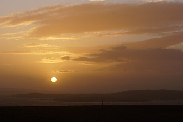
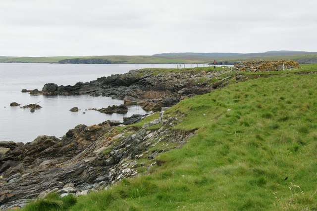
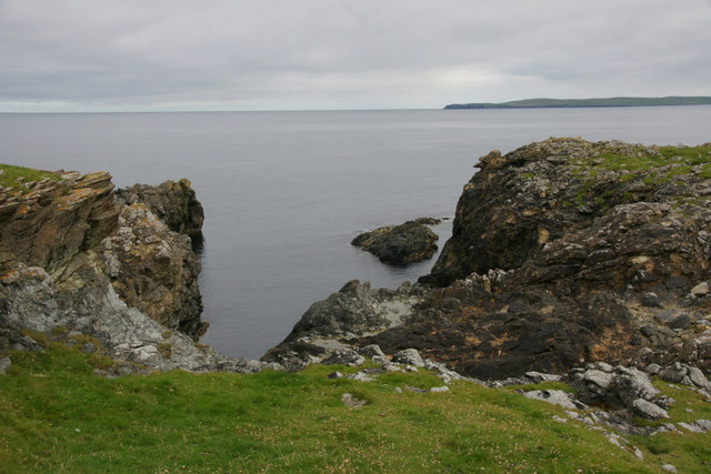
Clay Geos is a coastal feature located on the Shetland Islands, an archipelago in Scotland. It is specifically situated on the mainland of Shetland, near the village of Sandwick. This prominent headland juts out into the North Sea, forming a distinct point that is well-known for its geological significance and stunning natural beauty.
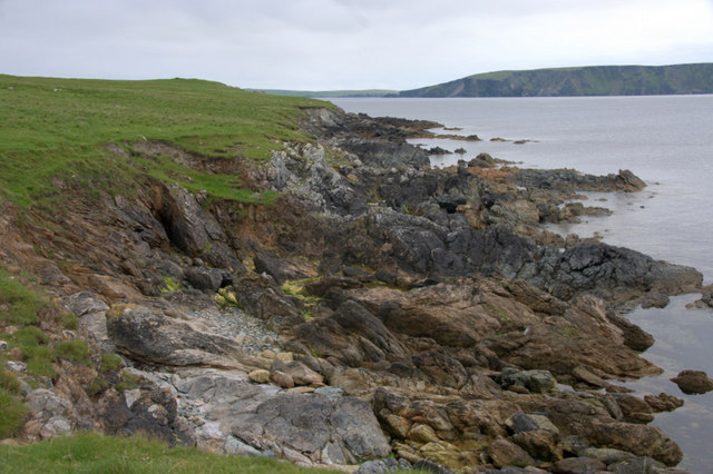
The name "Clay Geos" refers to the unique geology of the area. Geos are narrow inlets or gorges, typically formed by the erosion of soft sedimentary rocks. In the case of Clay Geos, the name suggests the presence of clay-like sedimentary deposits along the coastline.
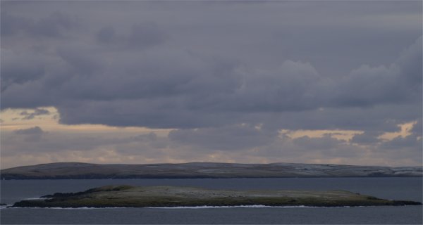
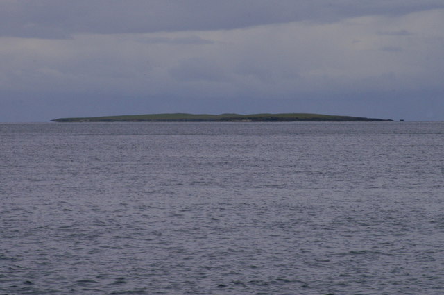
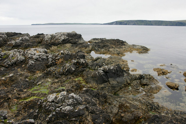
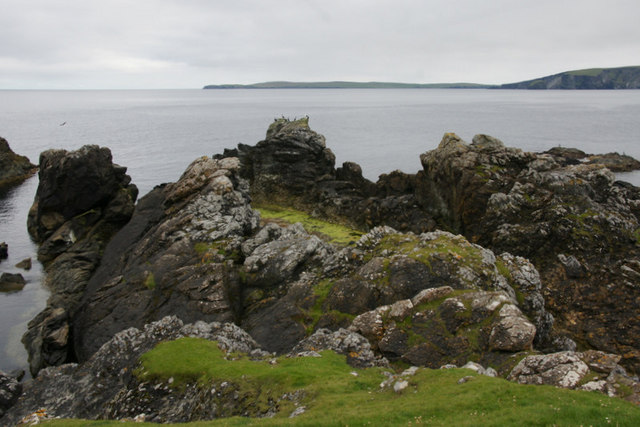
The headland at Clay Geos offers breathtaking panoramic views of the surrounding coastal landscape. Visitors can marvel at the rugged cliffs that plunge into the sea, which are a result of millions of years of erosion by wind and waves. The diversity of the geological formations is also a highlight, with layers of sandstone, shale, and clay visible in the exposed cliffs.
Clay Geos is not only a popular destination for nature enthusiasts and hikers but also attracts geologists and researchers interested in studying the unique sedimentary formations. The area provides valuable insights into the geological history of the region and the processes that have shaped it over time.
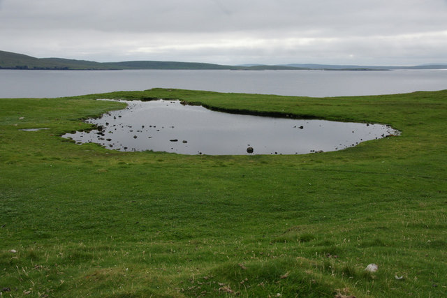
In addition to its geological significance, Clay Geos offers opportunities for birdwatching, as it serves as a habitat for various seabirds, including puffins, fulmars, and guillemots. The surrounding coastal waters are also home to a diverse range of marine life, making it a haven for wildlife enthusiasts and photographers.
Overall, Clay Geos is a must-visit coastal feature, combining stunning natural beauty, geological interest, and abundant wildlife, all within the picturesque backdrop of the Shetland Islands.
If you have any feedback on the listing, please let us know in the comments section below.
Clay Geos Images
Images are sourced within 2km of 60.674279/-0.85770042 or Grid Reference HU6299. Thanks to Geograph Open Source API. All images are credited.


Clay Geos is located at Grid Ref: HU6299 (Lat: 60.674279, Lng: -0.85770042)
Unitary Authority: Shetland Islands
Police Authority: Highlands and Islands
What 3 Words
///unroll.reported.nags. Near Uyeasound, Shetland Islands
Nearby Locations
Related Wikis

Haaf Gruney
Haaf Gruney is a small island in the north east of the Shetland Islands. == Geography and geology == The island is between Unst and Fetlar which are to...

Muness Castle
Muness Castle is located on Unst, which is one of the Shetland Islands of Scotland. The castle is 3 kilometres (1.9 mi) east of the village of Uyeasound...

Uyea, Unst
Uyea (Scots: Uyea) is an uninhabited island, lying south of Unst in Shetland, Scotland. == History == The island was inhabited as early as the Bronze Age...

Clivocast
Clivocast is a settlement on the island of Unst in the Shetland Islands, Scotland at 60.67°N 00.90°W / 60.67; -00.90 or grid reference HP6000 and is situated...
Mailand, Shetland
Mailand is a hamlet in the Shetland Islands. It is on the island of Unst, the northernmost of the inhabited British Isles, near its southern coast. �...

Uyeasound
Uyeasound is a village on the Isle of Unst, the northernmost island of the Shetland Islands, Scotland. It takes its name from the neighbouring strait of...

Sound Gruney
For other islands with similar names, see Gruney (disambiguation) Sound Gruney is one of the Shetland islands. It lies about 1.5 kilometres (0.93 mi)...

Urie Lingey
For other islands with similar names, see Linga (disambiguation) Urie Lingey is one of the Shetland Islands. It is between Fetlar and Unst, and Yell is...
Have you been to Clay Geos?
Leave your review of Clay Geos below (or comments, questions and feedback).