Geo of Newfinnamie
Coastal Feature, Headland, Point in Shetland
Scotland
Geo of Newfinnamie
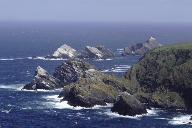
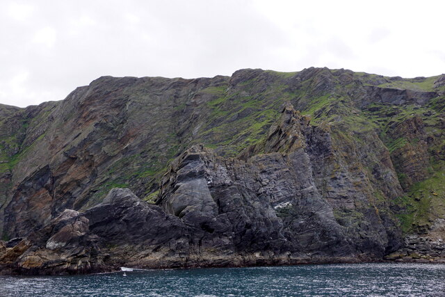
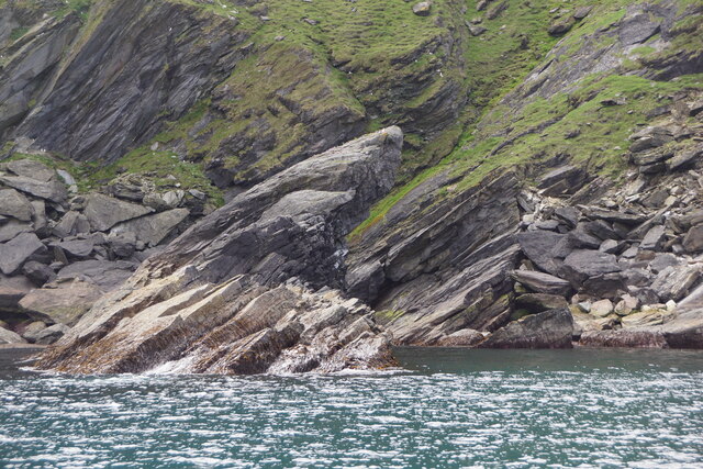
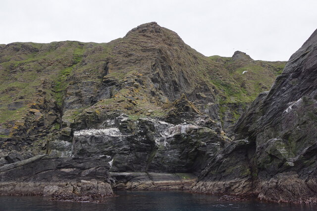
Geo of Newfinnamie is a prominent coastal feature located in the Shetland Islands, Scotland. Specifically, it is situated on the west coast of the island of Mainland, near the village of Sandness. This geographical formation is classified as a headland or a point, as it juts out into the North Atlantic Ocean.
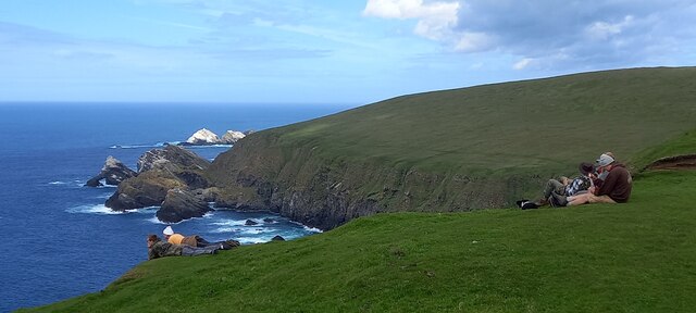
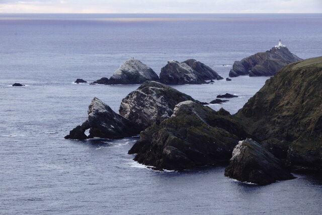
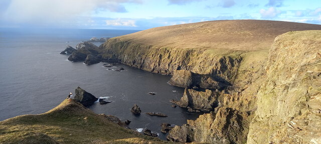
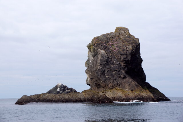
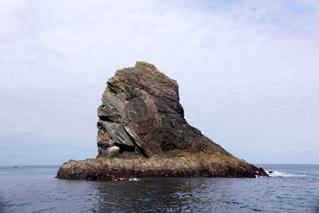
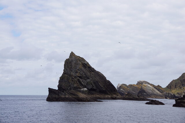
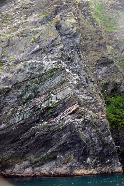
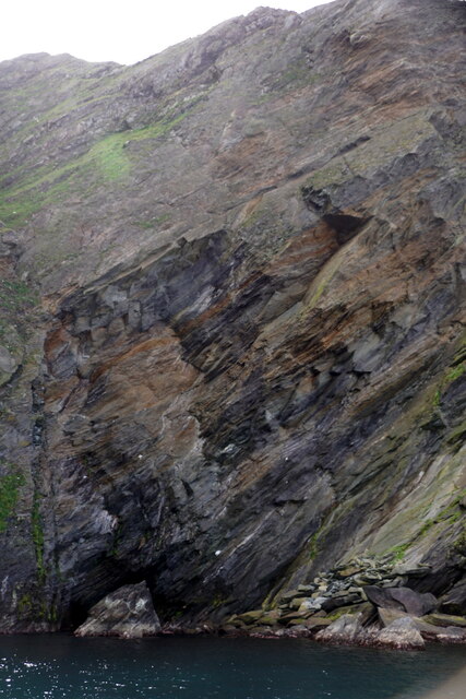
The Geo of Newfinnamie is characterized by its rugged and rocky landscape, with steep cliffs that drop dramatically into the sea. It is composed of ancient volcanic rocks, such as basalt and granite, which have been shaped and eroded by the relentless action of the waves over thousands of years.
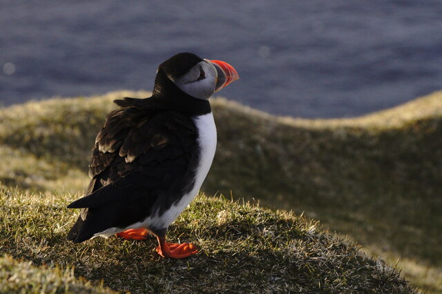
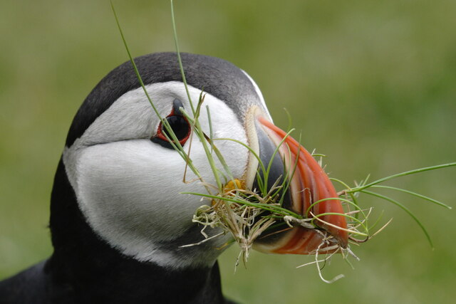
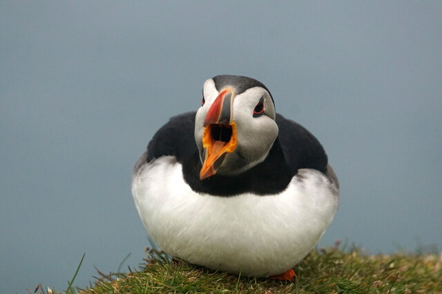
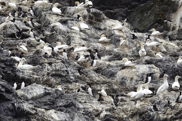
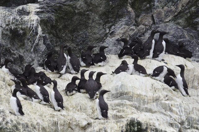
This coastal feature is known for its stunning natural beauty and offers breathtaking views of the surrounding landscape. From the top of the cliffs, visitors can admire the vast expanse of the ocean, as well as the nearby islands and islets that dot the horizon. The area is also home to a diverse range of marine wildlife, including seabirds, seals, and occasionally even dolphins and whales.
The Geo of Newfinnamie is a popular spot for outdoor activities such as hiking, birdwatching, and photography. Its unique geology and natural features have attracted geologists and researchers interested in studying the formation of coastal landscapes.
Overall, the Geo of Newfinnamie is a remarkable coastal feature that showcases the raw power of nature. Its striking cliffs, panoramic views, and abundant wildlife make it an essential destination for nature enthusiasts and those seeking to explore the rugged beauty of the Shetland Islands.
If you have any feedback on the listing, please let us know in the comments section below.
Geo of Newfinnamie Images
Images are sourced within 2km of 60.827128/-0.8695423 or Grid Reference HP6116. Thanks to Geograph Open Source API. All images are credited.

Geo of Newfinnamie is located at Grid Ref: HP6116 (Lat: 60.827128, Lng: -0.8695423)
Unitary Authority: Shetland Islands
Police Authority: Highlands and Islands
What 3 Words
///prominent.bypasses.thing. Near Haroldswick, Shetland Islands
Nearby Locations
Related Wikis

Hermaness
Hermaness is the northernmost headland of Unst, the most northerly inhabited island of Shetland, Scotland. It consists of huge sea cliffs and moorland...

RAF Saxa Vord
Remote Radar Head Saxa Vord or RRH Saxa Vord (aka RAF Saxa Vord), is a Royal Air Force radar station located on the island of Unst, the most northern of...

Burrafirth
Burrafirth links (Old Norse: Borgarfjorðr, meaning "the fjord with a castle") is a strip of land with a few houses on the island of Unst, Shetland, Scotland...

Muckle Flugga
Muckle Flugga () is a small rocky island north of Unst in the Shetland Islands, Scotland. It is often described as the northernmost point of the British...

Out Stack
Out Stack or Ootsta is an island in Shetland, Scotland and the northernmost point of both Scotland and the British Isles. It lies 600 m (2,000 ft) northeast...

Saxa Vord distillery
Saxa Vord distillery is a Scotch whisky and gin distillery on the island of Unst, part of the Shetland islands. The distillery takes its name from its...

Valhalla Brewery
The Valhalla Brewery in Unst, Shetland, Scotland, was the northernmost brewery in the United Kingdom. It was opened by the husband and wife team Sonny...

Skaw, Unst
Skaw is a settlement in the Scottish archipelago of Shetland, located on the island of Unst. It is located north of Haroldswick on a peninsula in the northeast...
Have you been to Geo of Newfinnamie?
Leave your review of Geo of Newfinnamie below (or comments, questions and feedback).