Shorda Hellier
Coastal Feature, Headland, Point in Shetland
Scotland
Shorda Hellier

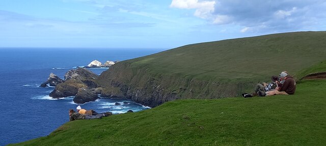
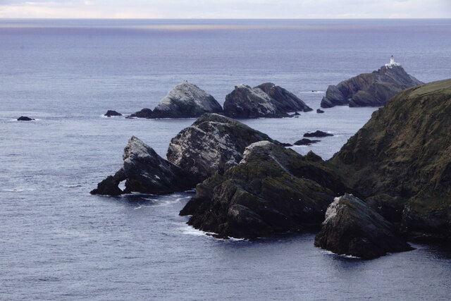
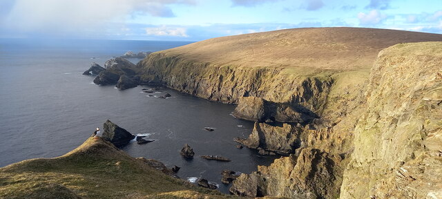
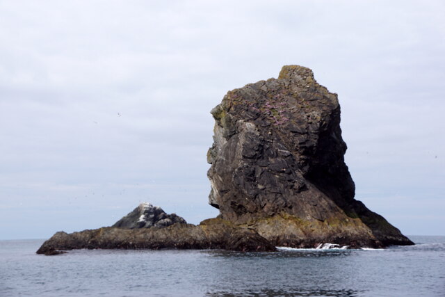
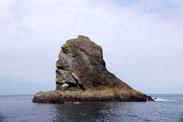
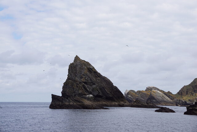
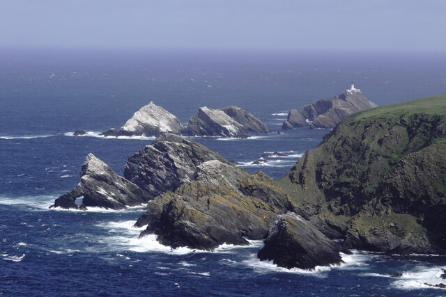
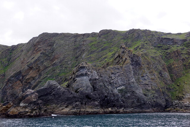
Shorda Hellier is a picturesque coastal feature located on the remote island of Shetland, Scotland. Situated on the western coast of the island, it is characterized as a headland or point that juts out into the North Atlantic Ocean.
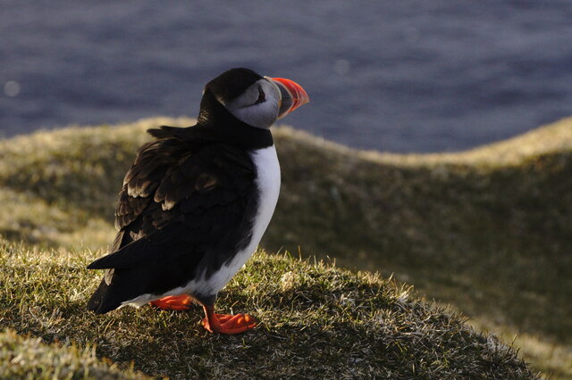
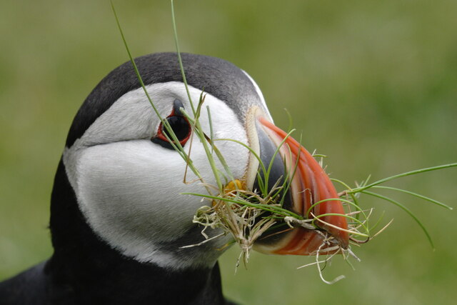
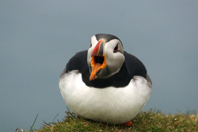
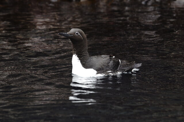
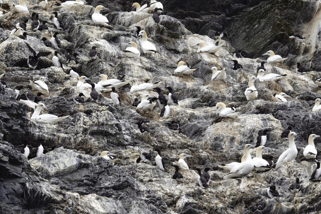
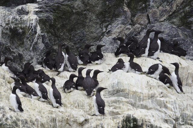
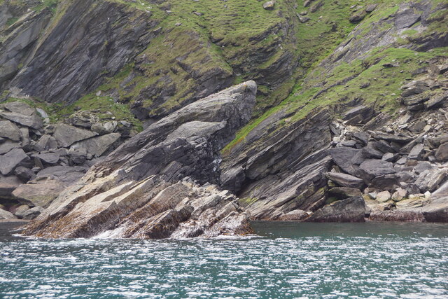
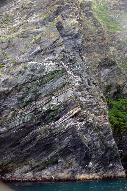
This stunning coastal feature is known for its rugged and dramatic landscape, with towering cliffs and rocky outcrops that provide a habitat for a diverse range of seabirds, including puffins, guillemots, and fulmars. The area is also home to a variety of marine life, such as seals and dolphins, which can often be spotted frolicking in the surrounding waters.
Shorda Hellier offers breathtaking panoramic views of the wild and untamed ocean, making it a popular spot for nature enthusiasts, photographers, and hikers. The coastal paths that wind along the headland provide an opportunity to explore the area's natural beauty and discover hidden coves and rocky beaches.
The name "Shorda Hellier" is derived from the Old Norse language, reflecting the island's Viking heritage. "Shorda" means "shire" or "district," while "Hellier" refers to a person who works with or sells hides. This suggests that in the past, this headland may have been an area where animal hides were processed or traded.
Overall, Shorda Hellier is a captivating coastal feature that showcases the raw beauty and rich natural heritage of Shetland. Whether visitors are seeking tranquility, wildlife encounters, or simply a chance to immerse themselves in nature, this headland provides an unforgettable experience.
If you have any feedback on the listing, please let us know in the comments section below.
Shorda Hellier Images
Images are sourced within 2km of 60.830667/-0.8697117 or Grid Reference HP6116. Thanks to Geograph Open Source API. All images are credited.

Shorda Hellier is located at Grid Ref: HP6116 (Lat: 60.830667, Lng: -0.8697117)
Unitary Authority: Shetland Islands
Police Authority: Highlands and Islands
What 3 Words
///that.scanty.talker. Near Haroldswick, Shetland Islands
Nearby Locations
Related Wikis

Hermaness
Hermaness is the northernmost headland of Unst, the most northerly inhabited island of Shetland, Scotland. It consists of huge sea cliffs and moorland...

RAF Saxa Vord
Remote Radar Head Saxa Vord or RRH Saxa Vord (aka RAF Saxa Vord), is a Royal Air Force radar station located on the island of Unst, the most northern of...

Muckle Flugga
Muckle Flugga () is a small rocky island north of Unst in the Shetland Islands, Scotland. It is often described as the northernmost point of the British...

Burrafirth
Burrafirth links (Old Norse: Borgarfjorðr, meaning "the fjord with a castle") is a strip of land with a few houses on the island of Unst, Shetland, Scotland...

Out Stack
Out Stack or Ootsta is an island in Shetland, Scotland and the northernmost point of both Scotland and the British Isles. It lies 600 m (2,000 ft) northeast...

Skaw, Unst
Skaw is a settlement in the Scottish archipelago of Shetland, located on the island of Unst. It is located north of Haroldswick on a peninsula in the northeast...

Saxa Vord distillery
Saxa Vord distillery is a Scotch whisky and gin distillery on the island of Unst, part of the Shetland islands. The distillery takes its name from its...

Valhalla Brewery
The Valhalla Brewery in Unst, Shetland, Scotland, was the northernmost brewery in the United Kingdom. It was opened by the husband and wife team Sonny...
Nearby Amenities
Located within 500m of 60.830667,-0.8697117Have you been to Shorda Hellier?
Leave your review of Shorda Hellier below (or comments, questions and feedback).