Snavi Geo
Coastal Feature, Headland, Point in Shetland
Scotland
Snavi Geo

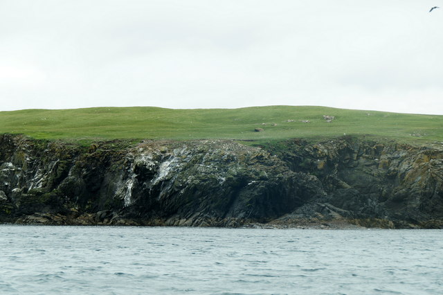
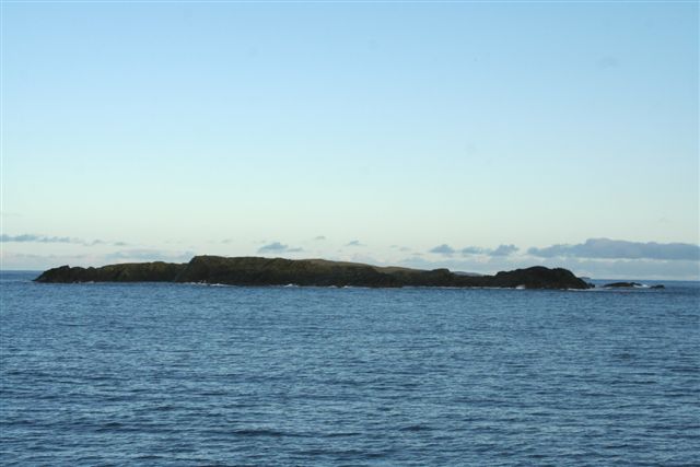
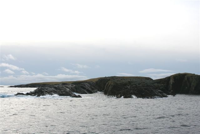
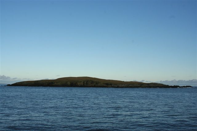
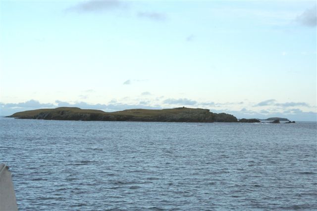
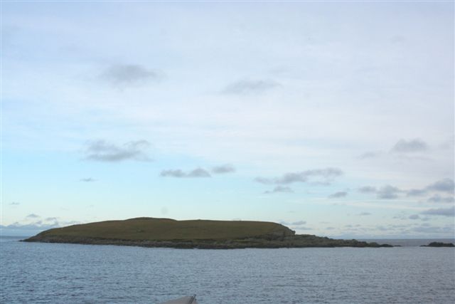
Snavi Geo is a coastal feature located in the Shetland Islands, Scotland. It is classified as a headland or point, jutting out into the North Sea. The name "Snavi Geo" is derived from the Old Norse language, which was historically spoken in the region.
With its rugged and dramatic landscape, Snavi Geo offers breathtaking views of the surrounding area. It is characterized by steep cliffs that rise majestically from the sea, forming a prominent headland. The cliffs are composed of sedimentary rocks, displaying layers that reveal the geological history of the area.
The headland is home to a diverse range of flora and fauna, making it a significant site for wildlife enthusiasts. Various seabirds, such as puffins, fulmars, and guillemots, can be spotted nesting on the cliffs during the breeding season. The surrounding waters are also abundant with marine life, including seals and dolphins, which can often be seen swimming and playing in the sea.
Snavi Geo is a popular destination for outdoor activities, such as hiking and birdwatching. There are well-maintained trails that allow visitors to explore the headland and enjoy its natural beauty. The area is also of historical interest, with ancient ruins and archaeological sites scattered throughout.
Visitors to Snavi Geo should be cautious of the steep cliffs and unpredictable sea conditions. Strong winds and high tides can make the area dangerous, so it is important to exercise caution and follow any safety guidelines provided.
If you have any feedback on the listing, please let us know in the comments section below.
Snavi Geo Images
Images are sourced within 2km of 60.33898/-0.89215448 or Grid Reference HU6162. Thanks to Geograph Open Source API. All images are credited.


Snavi Geo is located at Grid Ref: HU6162 (Lat: 60.33898, Lng: -0.89215448)
Unitary Authority: Shetland Islands
Police Authority: Highlands and Islands
What 3 Words
///duet.defers.fingertip. Near Symbister, Shetland Islands
Nearby Locations
Related Wikis
East Linga
East Linga is one of the Shetland Islands. It lies between Whalsay (to the west), and Grif Skerry to the east. == Geography and geology == The bed rock...

Rumble, Shetland
Rumble is a skerry in the Shetland islands of Scotland, situated roughly 4 kilometres (2.5 mi) east off the coast of Huxter, southeastern Whalsay. It lies...

Grif Skerry
Grif Skerry is an islet to the east of Whalsay in the Shetland Islands. Its name comes from the Norse or Norn for "deep sea skerry".The island is uninhabited...

Isbister Holm
Isbister Holm is a small islet in the Shetland islands of Scotland, situated roughly 2 kilometres (1.2 mi) east off the coast of Isbister, Whalsay. The...
Mooa
Mooa is a small islet of the Shetland Islands of Scotland, situated roughly 2 kilometres (1.2 mi) east off the coast of Whalsay. It lies to the north of...
Nista
Nista is a small islet of the Shetland Islands of Scotland, situated roughly 2 kilometres (1.2 mi) east off the coast of Whalsay. It lies to the north...

Standing Stones of Yoxie
The Standing Stones of Yoxie is a Neolithic site in the parish of Nesting on the northeastern coast of Whalsay, in the Shetland islands of Scotland. It...
Treawick
Treawick, also Traewick, is an uninhabited crofting village in eastern Whalsay in the parish of Nesting in the Shetland Islands of Scotland. It is located...
Have you been to Snavi Geo?
Leave your review of Snavi Geo below (or comments, questions and feedback).