Gardie Geo
Coastal Feature, Headland, Point in Shetland
Scotland
Gardie Geo
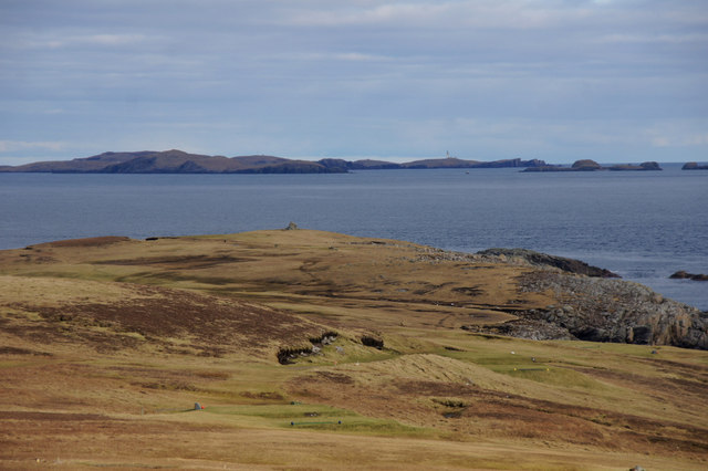
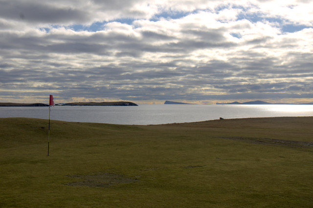
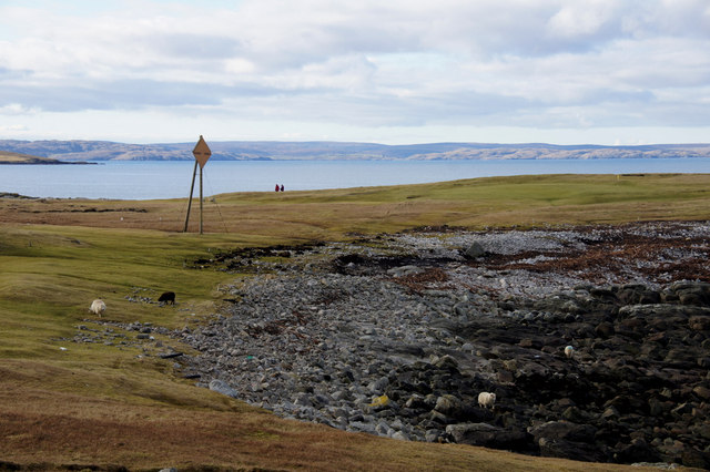
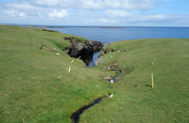
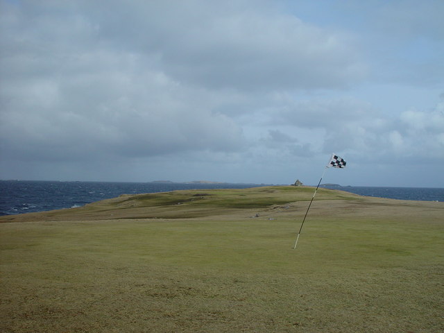
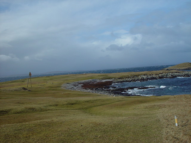
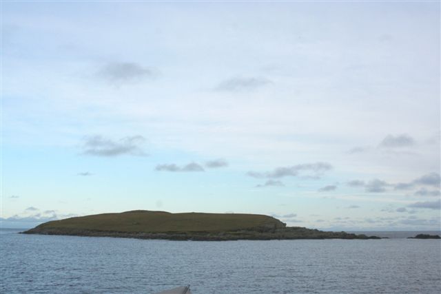
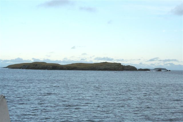
Gardie Geo is a prominent coastal feature located in the Shetland Islands, Scotland. It is characterized as a headland or point, jutting out into the North Atlantic Ocean. The geo is situated on the southwestern coast of the main island of Shetland, near the village of Walls.
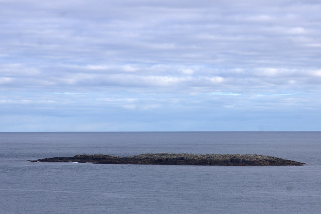
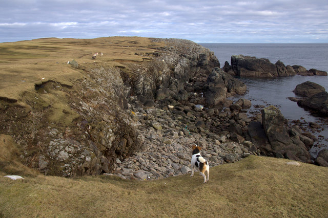
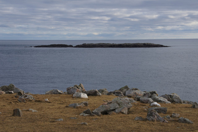
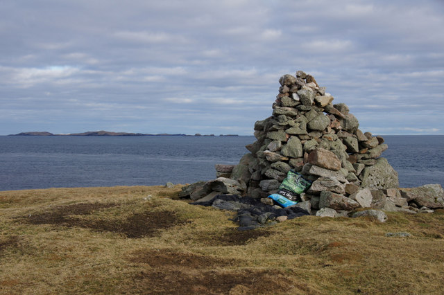
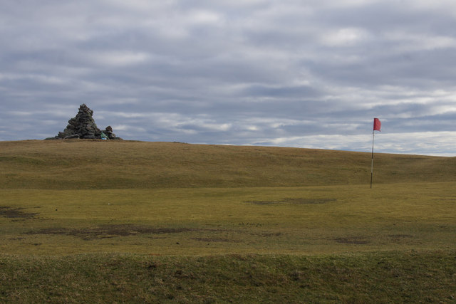
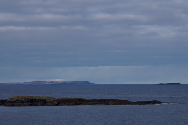
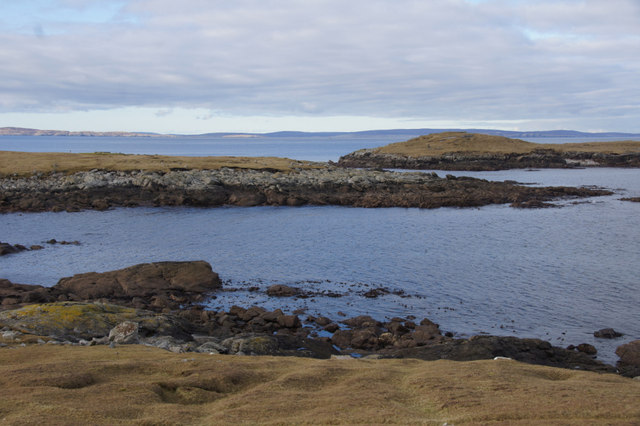
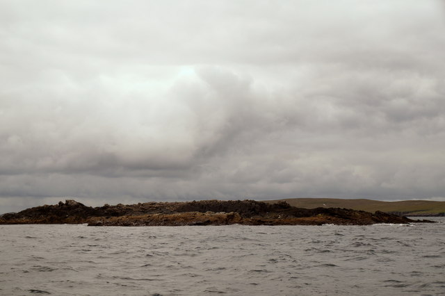
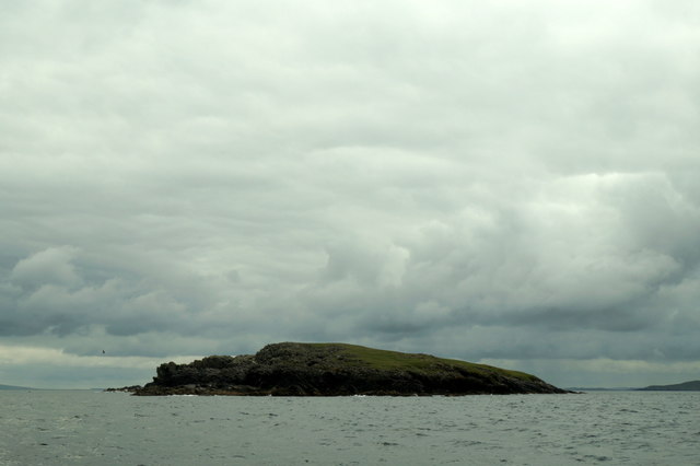
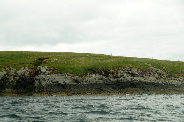
Gardie Geo is known for its rugged beauty and dramatic cliffs that drop down to the sea below. The cliffs are composed of sedimentary rocks, showcasing layers of different geological formations. The coastline surrounding the geo is also dotted with caves and sea stacks, adding to its picturesque appeal.
The area around Gardie Geo is rich in biodiversity, providing habitat for various marine and bird species. Seals can often be spotted lounging on the rocks, and seabirds such as puffins, kittiwakes, and fulmars nest in the cliffs. The surrounding waters are also home to a diverse range of marine life, including seals, whales, and dolphins.
This coastal feature is a popular destination for nature enthusiasts and birdwatchers, offering stunning views and opportunities for outdoor activities such as hiking and photography. Visitors can explore the surrounding coastal trails, taking in the breathtaking scenery and observing the abundant wildlife.
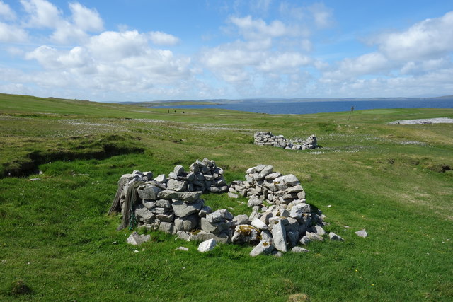
Gardie Geo is not only a natural wonder but also holds historical significance. The area has archaeological remains dating back to the Iron Age, including the remains of ancient settlements and defensive structures. These remnants provide a glimpse into the rich cultural heritage of the Shetland Islands.
In conclusion, Gardie Geo is a captivating coastal feature that showcases the raw beauty of the Shetland Islands. Its towering cliffs, diverse wildlife, and historical significance make it a must-visit destination for nature lovers and history enthusiasts alike.
If you have any feedback on the listing, please let us know in the comments section below.
Gardie Geo Images
Images are sourced within 2km of 60.378282/-0.91160548 or Grid Reference HU6066. Thanks to Geograph Open Source API. All images are credited.
Gardie Geo is located at Grid Ref: HU6066 (Lat: 60.378282, Lng: -0.91160548)
Unitary Authority: Shetland Islands
Police Authority: Highlands and Islands
What 3 Words
///twee.direct.sock. Near Symbister, Shetland Islands
Nearby Locations
Related Wikis

Skaw, Whalsay
Skaw is a village in the extreme northeast of Whalsay in the parish of Nesting in the Shetland Islands of Scotland. It is mainly a crofting area. Whalsay...

Whalsay Airstrip
Whalsay Airstrip is located at the village of Skaw in the northern end of the island of Whalsay, Shetland, Scotland. It is the only airfield serving the...
Inner Holm of Skaw
The Inner Holm of Skaw is a small, uninhabited islet off the northern tip of the island of Whalsay, in the Shetland Islands of Scotland, north of the village...
Outer Holm of Skaw
The Outer Holm of Skaw is a small, uninhabited islet, a rock outlier off the northeast coast of the island of Whalsay, in the Shetland Islands of Scotland...
Nista
Nista is a small islet of the Shetland Islands of Scotland, situated roughly 2 kilometres (1.2 mi) east off the coast of Whalsay. It lies to the north...
Mooa
Mooa is a small islet of the Shetland Islands of Scotland, situated roughly 2 kilometres (1.2 mi) east off the coast of Whalsay. It lies to the north of...

Standing Stones of Yoxie
The Standing Stones of Yoxie is a Neolithic site in the parish of Nesting on the northeastern coast of Whalsay, in the Shetland islands of Scotland. It...
Benie Hoose
Benie Hoose, also Bunyie Hoose, is a Neolithic site in the parish of Nesting, northeastern Whalsay, in the Shetland Islands of Scotland. It is located...
Nearby Amenities
Located within 500m of 60.378282,-0.91160548Have you been to Gardie Geo?
Leave your review of Gardie Geo below (or comments, questions and feedback).