Soorie Geo
Coastal Feature, Headland, Point in Shetland
Scotland
Soorie Geo

Soorie Geo is a prominent coastal feature located in the Shetland Islands, Scotland. It is classified as a headland, specifically a point that juts out into the sea. The name "Soorie Geo" is derived from the Shetland dialect, with "soorie" meaning "sour" and "geo" referring to a narrow inlet or gorge.
Situated on the western coast of Shetland, Soorie Geo offers stunning panoramic views of the surrounding landscape. It is characterized by steep cliffs that drop dramatically into the North Atlantic Ocean. The cliffs are composed of layers of sedimentary rock, showcasing the area's geological history.
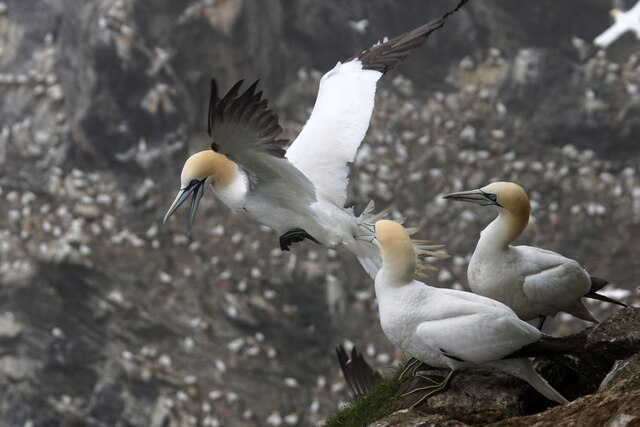
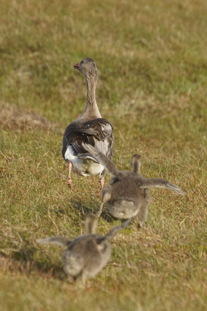
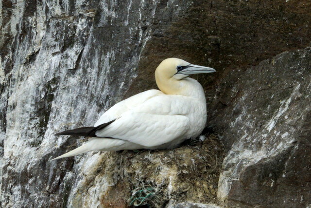
The headland is a haven for various bird species, making it a popular spot for birdwatchers. Visitors can spot colonies of puffins, guillemots, razorbills, and fulmars nesting on the cliffs. The area is also home to other wildlife such as seals and otters, adding to its ecological significance.
Access to Soorie Geo can be challenging due to the rugged terrain, but it is well worth the effort for those seeking a unique coastal experience. The headland provides an excellent vantage point for observing the power of the sea, with crashing waves and swirling currents. Hikers and nature enthusiasts can explore the coastal trails and enjoy the breathtaking beauty of the landscape.
Overall, Soorie Geo in Shetland is a captivating coastal feature that showcases the region's natural beauty and offers a glimpse into its rich geological and ecological heritage.
If you have any feedback on the listing, please let us know in the comments section below.
Soorie Geo Images
Images are sourced within 2km of 60.822153/-0.90752288 or Grid Reference HP5915. Thanks to Geograph Open Source API. All images are credited.


Soorie Geo is located at Grid Ref: HP5915 (Lat: 60.822153, Lng: -0.90752288)
Unitary Authority: Shetland Islands
Police Authority: Highlands and Islands
What 3 Words
///growth.rewarding.nibbles. Near Haroldswick, Shetland Islands
Nearby Locations
Related Wikis

Hermaness
Hermaness is the northernmost headland of Unst, the most northerly inhabited island of Shetland, Scotland. It consists of huge sea cliffs and moorland...

Burrafirth
Burrafirth links (Old Norse: Borgarfjorðr, meaning "the fjord with a castle") is a strip of land with a few houses on the island of Unst, Shetland, Scotland...

RAF Saxa Vord
Remote Radar Head Saxa Vord or RRH Saxa Vord (aka RAF Saxa Vord), is a Royal Air Force radar station located on the island of Unst, the most northern of...

Muckle Flugga
Muckle Flugga () is a small rocky island north of Unst in the Shetland Islands, Scotland. It is often described as the northernmost point of the British...
Have you been to Soorie Geo?
Leave your review of Soorie Geo below (or comments, questions and feedback).