Bluescudda Kame
Cliff, Slope in Shetland
Scotland
Bluescudda Kame
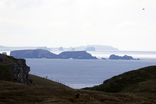
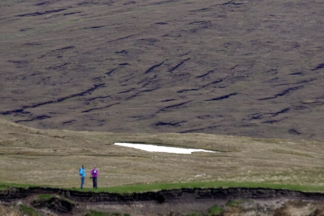
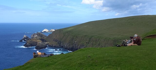
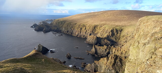
Bluescudda Kame is a geological formation located in the Shetland Islands, off the northeastern coast of Scotland. It is specifically situated on the island of Shetland, known for its rugged and picturesque landscapes. Bluescudda Kame is a prominent feature within this already stunning environment.
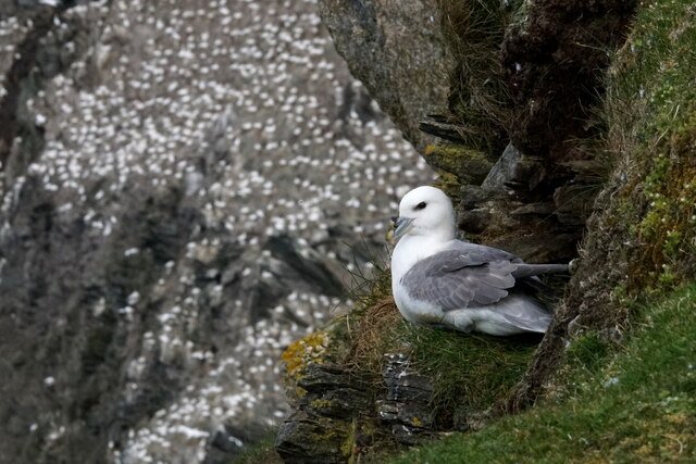
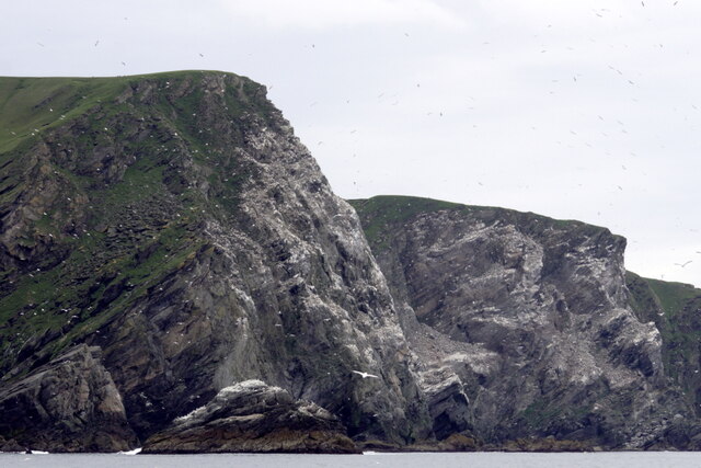
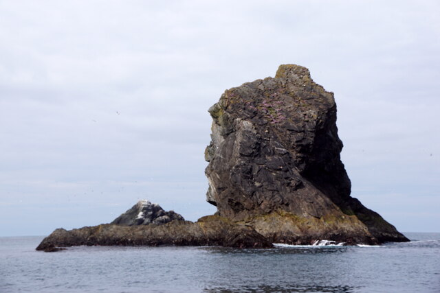
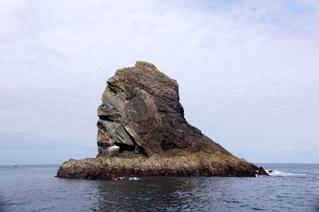
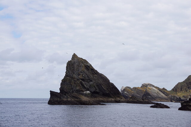
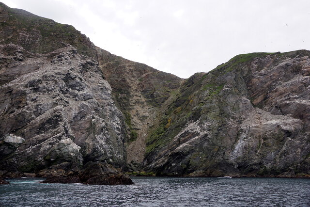
A kame is a glacial landform that is formed when sediment is deposited by melting glaciers. Bluescudda Kame is a prime example of this type of landform, characterized by its distinct cliff and slope structure. The kame rises steeply from the surrounding terrain, creating a visually striking sight.
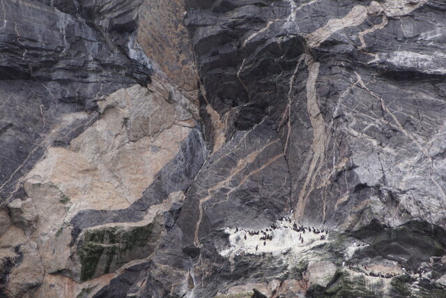
The Cliff of Bluescudda Kame is an impressive rock face that extends vertically from the base of the formation, reaching a significant height. Its sheer size and rugged texture exhibit the power of the forces that shaped it over thousands of years. The slope adjacent to the cliff gradually descends, showcasing a more gentle incline that provides a contrast to the towering cliff.
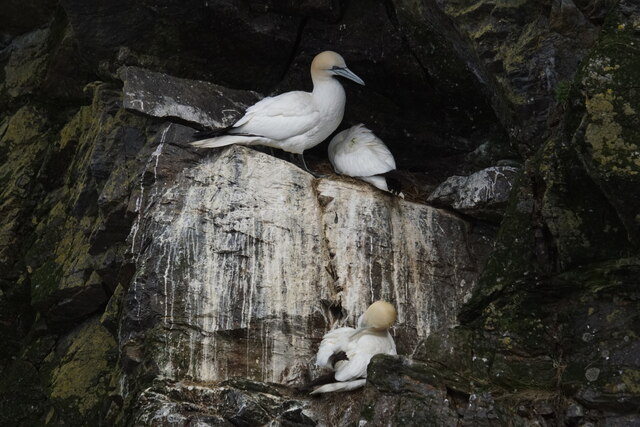
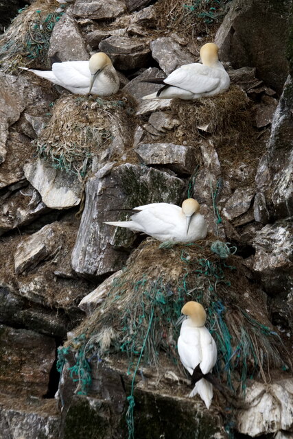
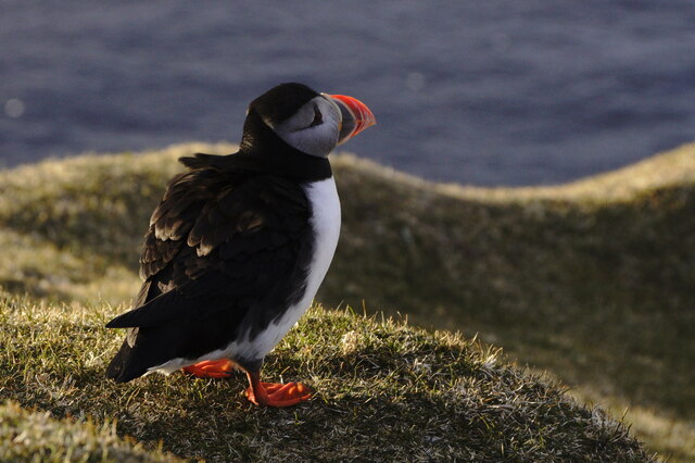
Visitors to Bluescudda Kame can appreciate the geological history and natural beauty of the area. The formation offers a unique opportunity to witness the effects of glacial activity in shaping the landscape. Additionally, the picturesque surroundings provide an ideal setting for outdoor activities such as hiking, photography, and nature exploration.
Bluescudda Kame is an emblematic feature of the Shetland Islands, representing the diverse and captivating geology of the region. Its grandeur and geological significance make it a must-see destination for both geology enthusiasts and nature lovers alike.
If you have any feedback on the listing, please let us know in the comments section below.
Bluescudda Kame Images
Images are sourced within 2km of 60.817533/-0.91238692 or Grid Reference HP5915. Thanks to Geograph Open Source API. All images are credited.

Bluescudda Kame is located at Grid Ref: HP5915 (Lat: 60.817533, Lng: -0.91238692)
Unitary Authority: Shetland Islands
Police Authority: Highlands and Islands
What 3 Words
///remodel.shipyards.crawled. Near Haroldswick, Shetland Islands
Nearby Locations
Related Wikis

Burrafirth
Burrafirth links (Old Norse: Borgarfjorðr, meaning "the fjord with a castle") is a strip of land with a few houses on the island of Unst, Shetland, Scotland...

Hermaness
Hermaness is the northernmost headland of Unst, the most northerly inhabited island of Shetland, Scotland. It consists of huge sea cliffs and moorland...

RAF Saxa Vord
Remote Radar Head Saxa Vord or RRH Saxa Vord (aka RAF Saxa Vord), is a Royal Air Force radar station located on the island of Unst, the most northern of...

Muckle Flugga
Muckle Flugga () is a small rocky island north of Unst in the Shetland Islands, Scotland. It is often described as the northernmost point of the British...

Out Stack
Out Stack or Ootsta is an island in Shetland, Scotland and the northernmost point of both Scotland and the British Isles. It lies 600 m (2,000 ft) northeast...

Valhalla Brewery
The Valhalla Brewery in Unst, Shetland, Scotland, was the northernmost brewery in the United Kingdom. It was opened by the husband and wife team Sonny...

Saxa Vord distillery
Saxa Vord distillery is a Scotch whisky and gin distillery on the island of Unst, part of the Shetland islands. The distillery takes its name from its...

Haroldswick
Haroldswick or Harold's Wick (Old Norse: Haraldsvík, 'Harald's bay'), is on Unst, Shetland Islands, Scotland, and is one of the most northerly settlements...
Have you been to Bluescudda Kame?
Leave your review of Bluescudda Kame below (or comments, questions and feedback).