The Hamars

Coastal Feature, Headland, Point in Shetland

Scotland

The Hamars

Greylag Geese (Anser anser), Hermaness Flushed while surveying areas for dead Great Skuas under contract to assess HPAI.
Greylag Geese (Anser anser), Hermaness Credit: Mike Pennington

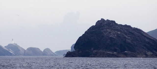
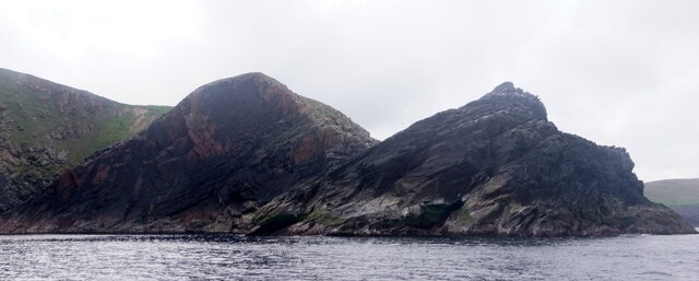
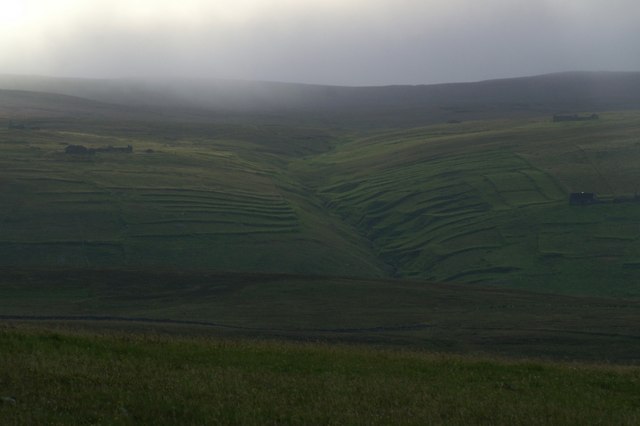
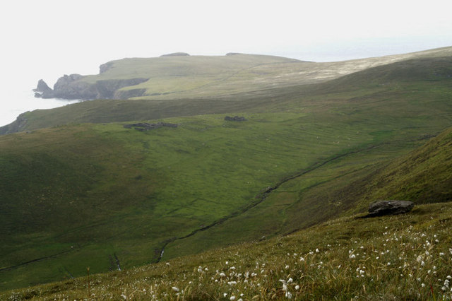
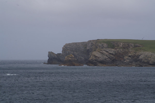
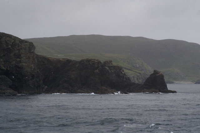
The Hamars is a prominent coastal feature located in Shetland, an archipelago in Scotland. It is specifically classified as a headland or point, jutting out into the North Sea. This geological formation is characterized by its rugged cliffs, which rise dramatically from the sea, offering breathtaking views of the surrounding coastline.

The Hamars is situated on the western coast of Shetland, near the village of Walls. Its location provides an excellent vantage point for observing the dramatic waves crashing against the cliffs and the vast expanse of the ocean. The headland is made up of a combination of sedimentary rocks, such as sandstone and shale, which have been shaped over thousands of years by the erosive forces of wind and water.

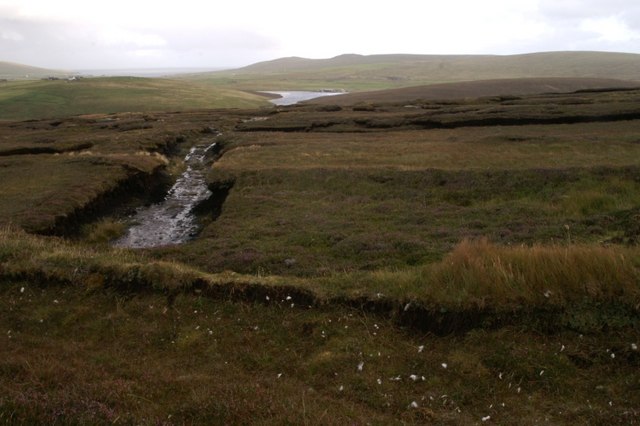
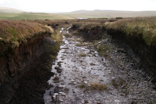
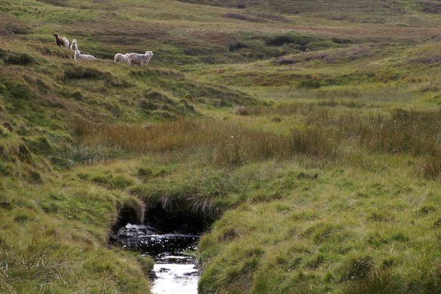
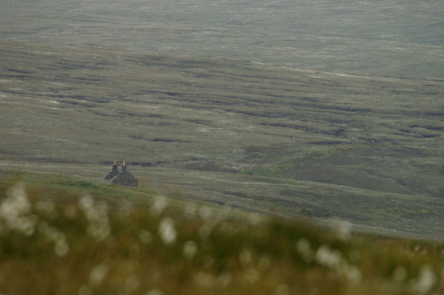
The Hamars is a popular destination for nature enthusiasts, hikers, and photographers. Its unique geology and stunning scenery make it an ideal spot for capturing the raw beauty of the Shetland coastline. The headland is also home to a variety of bird species, including puffins and fulmars, which nest in the cliffs during the breeding season.

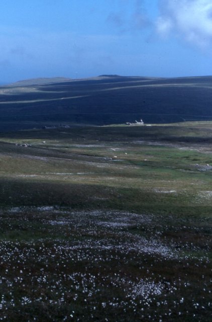
Access to The Hamars is relatively easy, as there are well-maintained paths and trails leading to the headland. Visitors are advised to exercise caution when exploring the area, as the cliffs can be steep and slippery. Additionally, the unpredictable weather conditions common in the region should be taken into consideration, and appropriate clothing and footwear should be worn to ensure a safe and enjoyable visit.

If you have any feedback on the listing, please let us know in the comments section below.

The Hamars Images

Images are sourced within 2km of 60.800024/-0.92683533 or Grid Reference HP5813. Thanks to Geograph Open Source API. All images are credited.

Greylag Geese (Anser anser), Hermaness Flushed while surveying areas for dead Great Skuas under contract to assess HPAI.
Greylag Geese (Anser anser), Hermaness
Flushed while surveying areas for dead Great Skuas under contract to assess HPAI.
Great Skua (Stercorarius skua), Hermaness A rare sight after bird flu in 2021 and 2022: a Great Skua, or Bonxie, defending a territory.
Great Skua (Stercorarius skua), Hermaness
A rare sight after bird flu in 2021 and 2022: a Great Skua, or Bonxie, defending a territory.
Tonga Stack, Hermaness, and the view to Muckle Flugga
Mio Ting and Tonga Stack from the sea
Tonga Stack and Mio Tong, Hermaness, from the sea
Greff and Sneuga The cliff of Greff, on the left, and the hill of Sneuga in the middle distance on the right; taken from Tonga.
Greff and Sneuga
The cliff of Greff, on the left, and the hill of Sneuga in the middle distance on the right; taken from Tonga.
Tonga Boulder beach on the north side of Tonga, taken from the bottom of the cliff looking around the coast towards Bluescudda Kame and Saito.
Tonga
Boulder beach on the north side of Tonga, taken from the bottom of the cliff looking around the coast towards Bluescudda Kame and Saito.
North Water Mist rolling over North Water.
North Water
Mist rolling over North Water.
Stacks of Poindie With the headland of Gable behind.
Stacks of Poindie
With the headland of Gable behind.
Petester Looking across Stivla Mires towards the abandoned village of Petester, with Crussa Field and the Heogs in the distance.
Petester
Looking across Stivla Mires towards the abandoned village of Petester, with Crussa Field and the Heogs in the distance.
The abandoned village of Petester From Crussa Field.
The abandoned village of Petester
From Crussa Field.
Abandoned peat-workings at the south end of Hermaness NNR Peats have not been cut here since the 1980s.
Abandoned peat-workings at the south end of Hermaness NNR
Peats have not been cut here since the 1980s.
Peat track at the south end of Hermaness NNR The peat here is only about a metre thick, and the track has been cut down to the bedrock.
Peat track at the south end of Hermaness NNR
The peat here is only about a metre thick, and the track has been cut down to the bedrock.
Milldale Burn Milldale on the map, but known as Tonga Daal locally.
Milldale Burn
Milldale on the map, but known as Tonga Daal locally.
Petester One of the ruined houses at Petester, a small village which was inhabited until the 1970s.
Petester
One of the ruined houses at Petester, a small village which was inhabited until the 1970s.
The northern arm of the Dale of Woodwick Looking out towards Flubersgerdie and Orknagable.
The northern arm of the Dale of Woodwick
Looking out towards Flubersgerdie and Orknagable.
Valaberg Headland below the hill of Sneuga. Taken from one of the Yell Sound ferries on a North Isles cruise.
Valaberg
Headland below the hill of Sneuga. Taken from one of the Yell Sound ferries on a North Isles cruise.
Valaberg From the west looking back towards Woodwick and the hill of Houllna Grouna. Taken from one of the Yell Sound ferries on a North Isles cruise.
Valaberg
From the west looking back towards Woodwick and the hill of Houllna Grouna. Taken from one of the Yell Sound ferries on a North Isles cruise.
Show me another place!

The Hamars is located at Grid Ref: HP5813 (Lat: 60.800024, Lng: -0.92683533)

Unitary Authority: Shetland Islands

Police Authority: Highlands and Islands

What 3 Words

///ship.increased.historic. Near Haroldswick, Shetland Islands

Related Wikis

Burrafirth

Burrafirth links (Old Norse: Borgarfjorðr, meaning "the fjord with a castle") is a strip of land with a few houses on the island of Unst, Shetland, Scotland...

Hermaness

Hermaness is the northernmost headland of Unst, the most northerly inhabited island of Shetland, Scotland. It consists of huge sea cliffs and moorland...

Haroldswick

Haroldswick or Harold's Wick (Old Norse: Haraldsvík, 'Harald's bay'), is on Unst, Shetland Islands, Scotland, and is one of the most northerly settlements...

Valhalla Brewery

The Valhalla Brewery in Unst, Shetland, Scotland, was the northernmost brewery in the United Kingdom. It was opened by the husband and wife team Sonny...

Have you been to The Hamars?

Leave your review of The Hamars below (or comments, questions and feedback).