Grunka Hellier
Coastal Feature, Headland, Point in Shetland
Scotland
Grunka Hellier

Grunka Hellier is a prominent coastal feature located in Shetland, Scotland. It is a headland that juts out into the North Sea, forming a distinct point along the coastline. The name "Grunka Hellier" is derived from the local dialect and reflects the unique character of this natural landmark.
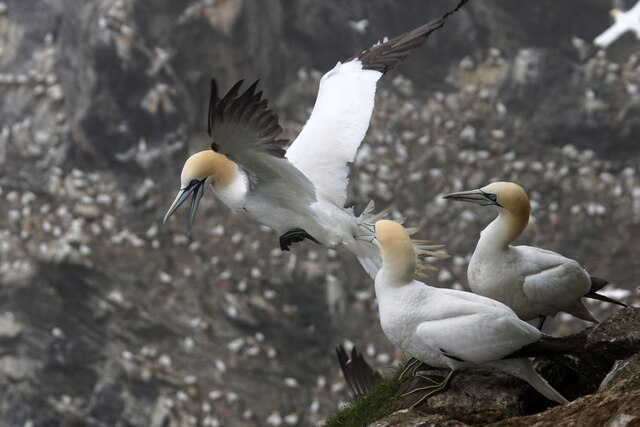
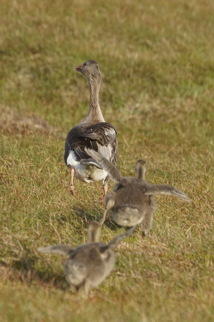
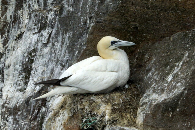
Situated in a rugged and picturesque setting, Grunka Hellier offers spectacular views of the surrounding sea and cliffs. The headland is characterized by its steep and rocky terrain, with sheer cliffs that rise dramatically from the water below. These cliffs are home to a variety of seabirds, including puffins, guillemots, and fulmars, making it a popular spot for birdwatchers and nature enthusiasts.
The area surrounding Grunka Hellier is rich in maritime history. The headland served as a navigational marker for sailors and fishermen, guiding them safely along the coast. Its strategic position made it an important landmark for centuries, and remnants of old navigational aids can still be seen in the area.
Grunka Hellier also holds cultural significance for the local community. It is often used as a gathering place for traditional ceremonies and celebrations, showcasing the deep connection between the land and the people of Shetland.
Visitors to Grunka Hellier can enjoy coastal walks along the headland, taking in the breathtaking views and immersing themselves in the natural beauty of the area. The rugged, untouched landscape offers a sense of tranquility and solitude, making it a perfect destination for those seeking a peaceful retreat in nature.
If you have any feedback on the listing, please let us know in the comments section below.
Grunka Hellier Images
Images are sourced within 2km of 60.816692/-0.92730686 or Grid Reference HP5815. Thanks to Geograph Open Source API. All images are credited.


Grunka Hellier is located at Grid Ref: HP5815 (Lat: 60.816692, Lng: -0.92730686)
Unitary Authority: Shetland Islands
Police Authority: Highlands and Islands
What 3 Words
///yoga.means.landowner. Near Haroldswick, Shetland Islands
Nearby Locations
Related Wikis

Burrafirth
Burrafirth links (Old Norse: Borgarfjorðr, meaning "the fjord with a castle") is a strip of land with a few houses on the island of Unst, Shetland, Scotland...

Hermaness
Hermaness is the northernmost headland of Unst, the most northerly inhabited island of Shetland, Scotland. It consists of huge sea cliffs and moorland...

Muckle Flugga
Muckle Flugga () is a small rocky island north of Unst in the Shetland Islands, Scotland. It is often described as the northernmost point of the British...

RAF Saxa Vord
Remote Radar Head Saxa Vord or RRH Saxa Vord (aka RAF Saxa Vord), is a Royal Air Force radar station located on the island of Unst, the most northern of...
Have you been to Grunka Hellier?
Leave your review of Grunka Hellier below (or comments, questions and feedback).