Yuntaskeos

Coastal Feature, Headland, Point in Shetland

Scotland

Yuntaskeos

Uriesetter Ruined farm on the north side of Fetlar. Fetlar suffered badly from clearances.
Uriesetter Credit: Richard Webb

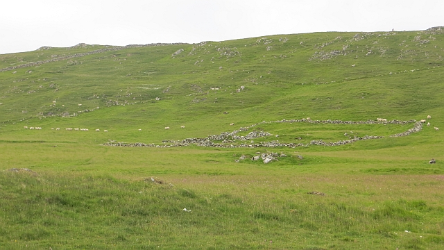
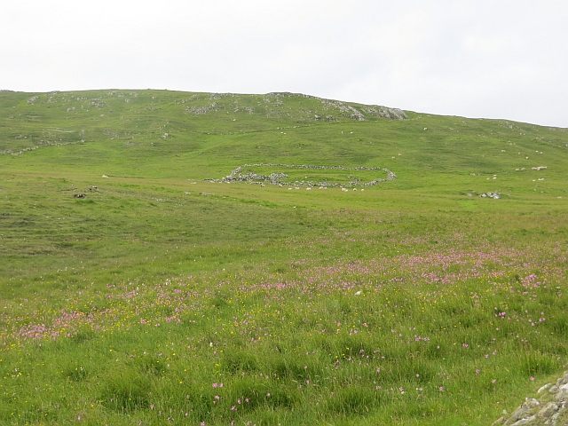
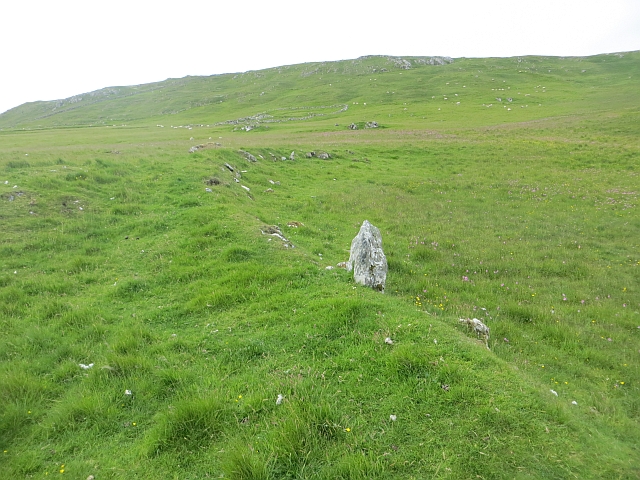
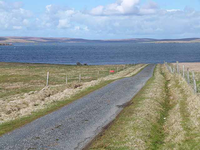
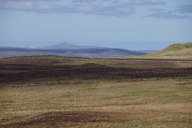
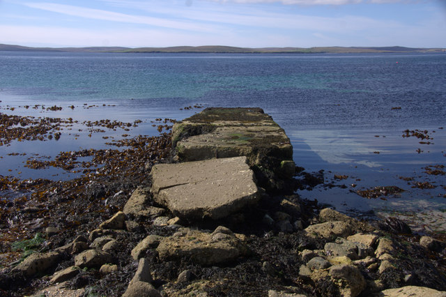
Yuntaskeos is a prominent coastal feature located in the Shetland Islands, off the northeastern coast of Scotland. It is classified as a headland or point, jutting out into the North Sea. The name "Yuntaskeos" is derived from the Old Norse language, reflecting the rich Viking heritage of the region.

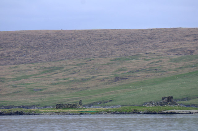
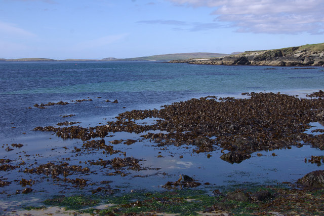
This coastal feature is characterized by its rugged and dramatic cliffs, which reach heights of up to 200 feet (60 meters) above sea level. The cliffs are composed of ancient rock formations, showcasing the geological history of the area. Yuntaskeos offers breathtaking panoramic views of the surrounding sea and coastline, making it a popular destination for nature enthusiasts, photographers, and hikers.

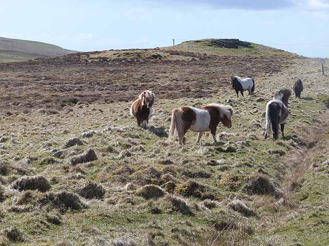
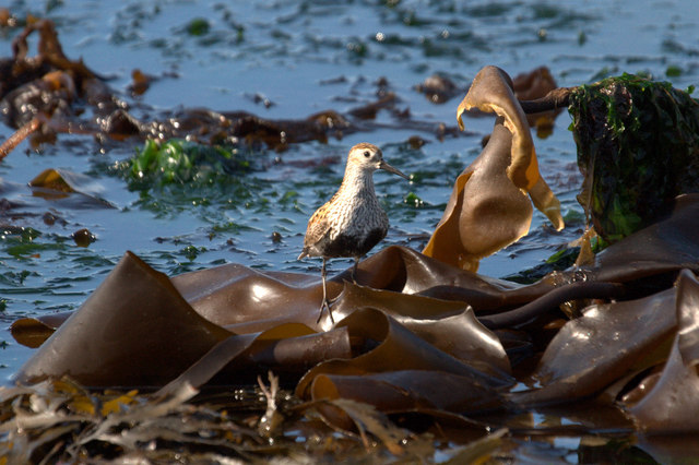
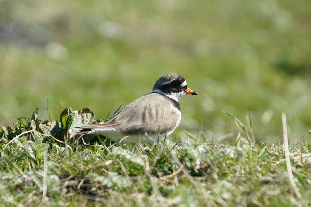
The headland is also known for its diverse wildlife, with numerous seabird colonies nesting along the cliffs, including puffins, guillemots, and razorbills. Visitors may catch a glimpse of seals and dolphins swimming in the waters below, adding to the area's natural beauty.

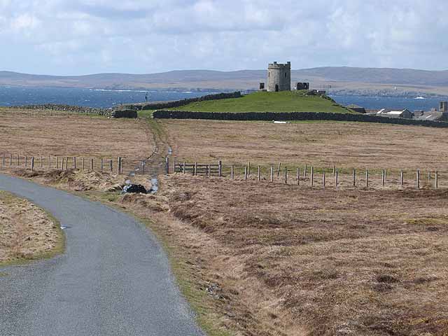
Access to Yuntaskeos is primarily through coastal paths and trails, which provide an opportunity to explore the stunning Shetland landscape. The headland is well-maintained and has designated viewing areas and viewpoints for visitors to enjoy the awe-inspiring scenery safely.

Yuntaskeos is also steeped in history, with archaeological remains indicating human habitation in the area dating back thousands of years. The headland has witnessed the passage of various cultures, from the early settlers to the Norse Vikings, leaving behind traces of their presence.

In summary, Yuntaskeos is a captivating coastal feature in the Shetland Islands, renowned for its dramatic cliffs, diverse wildlife, and rich historical heritage.

If you have any feedback on the listing, please let us know in the comments section below.

Yuntaskeos Images

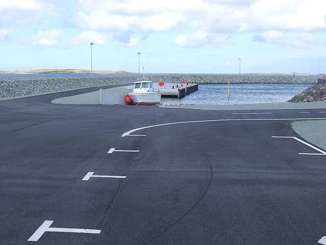
Images are sourced within 2km of 60.624178/-0.93982675 or Grid Reference HU5893. Thanks to Geograph Open Source API. All images are credited.

Uriesetter Ruined farm on the north side of Fetlar. Fetlar suffered badly from clearances.
Uriesetter
Ruined farm on the north side of Fetlar. Fetlar suffered badly from clearances.
Uriesetter Pasture and ruins on a cleared area of Fetlar.
Uriesetter
Pasture and ruins on a cleared area of Fetlar.
Old boundary, Uriesetter A grassed over ruined dyke on the north coast of Fetlar which was cleared.
Old boundary, Uriesetter
A grassed over ruined dyke on the north coast of Fetlar which was cleared.
Road west of Brough Lodge The B9088 drops down to the pier at Ugasta on the west coast of Fetlar.
Road west of Brough Lodge
The B9088 drops down to the pier at Ugasta on the west coast of Fetlar.
Shetland ponies below Sugil
The Tower at Brough Lodge A Victorian folly overlooking the west coast of Fetlar.
The Tower at Brough Lodge
A Victorian folly overlooking the west coast of Fetlar.
Three roadside containers Purpose unknown, these containers stand by the road to the Fetlar ferry terminal.
Three roadside containers
Purpose unknown, these containers stand by the road to the Fetlar ferry terminal.
Roadside livestock pens By the road from the Fetlar ferry terminal.
Roadside livestock pens
By the road from the Fetlar ferry terminal.
New harbour construction at Hamar Ness New pier and breakwater adjacent to the present Fetlar ferry terminal part financed by the Shetland Islands Council and the European Regional Development Fund.
New harbour construction at Hamar Ness
New pier and breakwater adjacent to the present Fetlar ferry terminal part financed by the Shetland Islands Council and the European Regional Development Fund.
Approaching the ferry landing on Fetlar Seen from the ferry from Unst. The new breakwater under construction can be seen on the right.
Approaching the ferry landing on Fetlar
Seen from the ferry from Unst. The new breakwater under construction can be seen on the right.
Dunlin (Calidris alpina) on the beach at Ugasta by Brough Lodge Dunlin breed quite commonly on moorland in Shetland. This is either a local bird feeding on the shore or a late migrant still heading north.
Dunlin (Calidris alpina) on the beach at Ugasta by Brough Lodge
Dunlin breed quite commonly on moorland in Shetland. This is either a local bird feeding on the shore or a late migrant still heading north.
Ringed Plover (Charadrius hiaticula) at Ugasta by Brough Lodge Ringed Plovers breed quite commonly in Shetland, most often in coastal habitats.
Ringed Plover (Charadrius hiaticula) at Ugasta by Brough Lodge
Ringed Plovers breed quite commonly in Shetland, most often in coastal habitats.
Urie Ness and Vord Hill Ruined houses on the ness and the hill of Vord Hill in the background.
Urie Ness and Vord Hill
Ruined houses on the ness and the hill of Vord Hill in the background.
The Fludir and Ruir Holm, off Urie, Fetlar
Buoy off Hamars Ness Daaey and the Calf of Daaey in the background.
Buoy off Hamars Ness
Daaey and the Calf of Daaey in the background.
View north over Mires of Oddsetter Saxa Vord on Unst is in the distance.
View north over Mires of Oddsetter
Saxa Vord on Unst is in the distance.
Dilapidated pier at Ugasta, near Brough Lodge
Beach at Ugasta, near Brough Lodge
Show me another place!

Yuntaskeos is located at Grid Ref: HU5893 (Lat: 60.624178, Lng: -0.93982675)

Unitary Authority: Shetland Islands

Police Authority: Highlands and Islands

What 3 Words

///tiger.chef.quaking. Near Houbie, Shetland Islands

Related Wikis

Hamars Ness

Hamars Ness is a headland on the island of Fetlar in Shetland, Scotland. The name is from the Old Norse Hamarsnes meaning "craggy headland". A ro-ro ferry...

Brough Lodge

Brough Lodge is a 19th-century Gothic mansion on Fetlar, one of the Shetland Islands, in northern Scotland. Built by the Nicolson family, who were responsible...

Urie Lingey

For other islands with similar names, see Linga (disambiguation) Urie Lingey is one of the Shetland Islands. It is between Fetlar and Unst, and Yell is...

Hascosay

Hascosay (Scots: Hascosay; Old Norse "Hafskotsey") is a small island lying between Yell and Fetlar in the Shetland Islands, Scotland. == Geography and... ==

Nearby Amenities

Located within 500m of 60.624178,-0.93982675
Place Of Worship
Historic: ruins
Religion: christian
Lat/Long: 60.6235276/-0.9340609
Power: pole
Lat/Long: 60.6272074/-0.9337407
Power: pole
Lat/Long: 60.6268246/-0.9343147
Power: pole
Lat/Long: 60.6266733/-0.9349879
Power: pole
Lat/Long: 60.6264825/-0.9358087
Power: pole
Lat/Long: 60.6258616/-0.9359723
Power: pole
Lat/Long: 60.6252406/-0.9361171
Power: pole
Lat/Long: 60.6245011/-0.9363049
Power: pole
Lat/Long: 60.6242762/-0.9363156
Power: pole
Lat/Long: 60.6243314/-0.9366563
Power: pole
Lat/Long: 60.6243867/-0.9371552
Marker: yes
Utility: power
Lat/Long: 60.6244906/-0.9370452
Power: pole
Lat/Long: 60.6238295/-0.9363103
Power: pole
Lat/Long: 60.6231473/-0.936321
Passing Place
Lat/Long: 60.6232214/-0.9355943
Power: pole
Lat/Long: 60.6223815/-0.9363183
Power: pole
Lat/Long: 60.621663/-0.9363183
Power: pole
Lat/Long: 60.6209972/-0.936321
Power: pole
Lat/Long: 60.620309/-0.9363371
Passing Place
Lat/Long: 60.6274649/-0.9337169
Passing Place
Lat/Long: 60.6242182/-0.9358659
The data included in this document is from www.openstreetmap.org. The data is made available under ODbL.

Have you been to Yuntaskeos?

Leave your review of Yuntaskeos below (or comments, questions and feedback).