Blue Geo
Coastal Feature, Headland, Point in Shetland
Scotland
Blue Geo

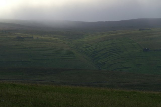
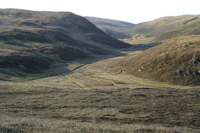
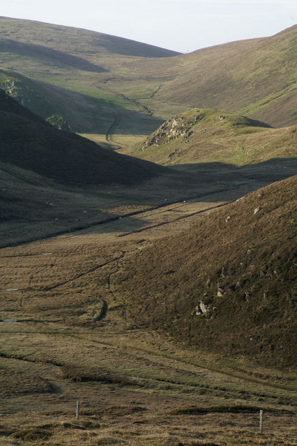
Blue Geo is a prominent coastal feature located in the Shetland Islands, an archipelago in Scotland. Situated on the eastern coast of the mainland, Blue Geo is classified as a headland or point due to its prominent projection into the North Sea. It is positioned between the villages of Vidlin and Lunna, approximately 10 kilometers northeast of the town of Hillswick.
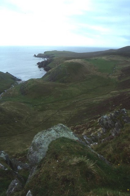
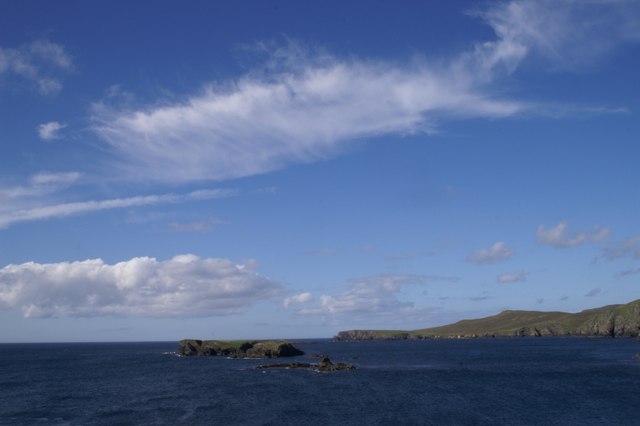
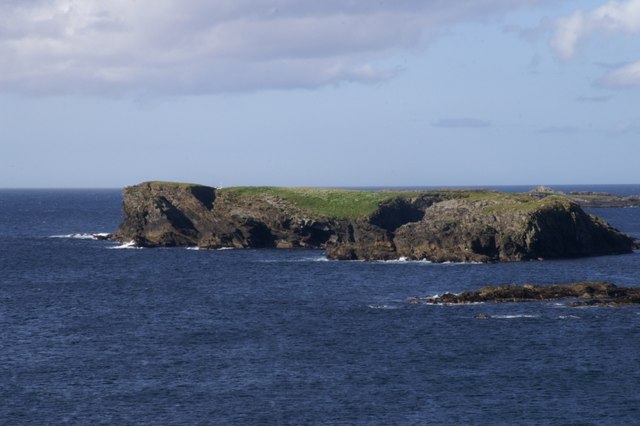
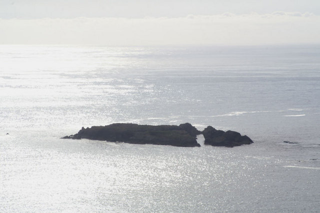
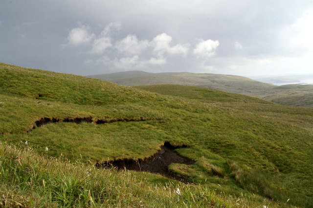
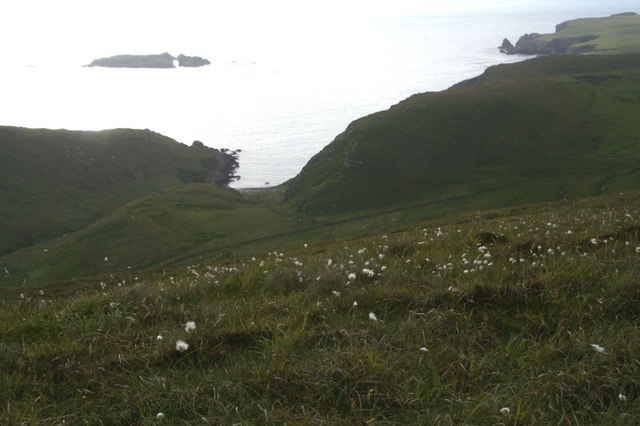
Blue Geo is characterized by its rugged cliffs and steep slopes, which are composed of sedimentary rock formations such as sandstone and shale. The cliffs rise to a height of around 50 meters, providing a magnificent vantage point to observe the surrounding coastal landscape. The name "Blue Geo" is derived from the vibrant blue hue that the sea often displays in this area, especially under clear skies.
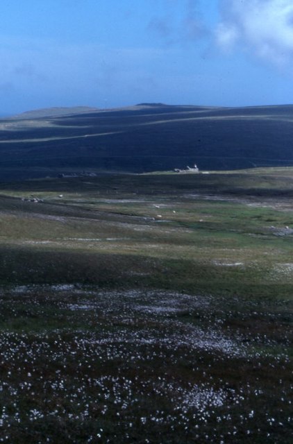
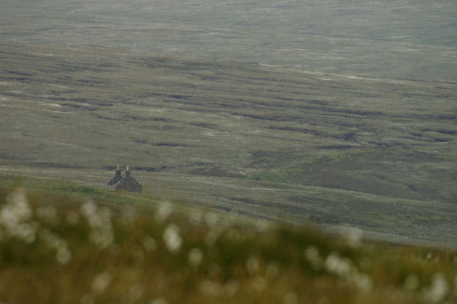
The headland is known for its rich biodiversity and is a haven for various species of seabirds, including puffins, guillemots, and fulmars. These birds nest on the cliff ledges, creating a cacophony of sounds during the breeding season. The surrounding waters are also home to a diverse range of marine life, including seals and otters, which can often be spotted from the headland.
Blue Geo is a popular destination for nature enthusiasts, hikers, and photographers due to its dramatic coastal scenery and abundant wildlife. The area offers various walking trails that allow visitors to explore its rugged beauty, providing breathtaking views of the North Sea and the surrounding coastline. Whether one is seeking a peaceful retreat or an opportunity to witness the awe-inspiring power of nature, Blue Geo is a must-visit destination in the Shetland Islands.
If you have any feedback on the listing, please let us know in the comments section below.
Blue Geo Images
Images are sourced within 2km of 60.7814/-0.93454656 or Grid Reference HP5811. Thanks to Geograph Open Source API. All images are credited.


Blue Geo is located at Grid Ref: HP5811 (Lat: 60.7814, Lng: -0.93454656)
Unitary Authority: Shetland Islands
Police Authority: Highlands and Islands
What 3 Words
///gossip.styled.crumple. Near Baltasound, Shetland Islands
Nearby Locations
Related Wikis

Burrafirth
Burrafirth links (Old Norse: Borgarfjorðr, meaning "the fjord with a castle") is a strip of land with a few houses on the island of Unst, Shetland, Scotland...

Unst
Unst (; Scots: Unst; Norn: Ønst) is one of the North Isles of the Shetland Islands, Scotland. It is the northernmost of the inhabited British Isles and...

1992 New Year's Day Storm
The New Year's Day Storm (Norwegian: Nyttårsorkanen), known in Scotland as the 'Hogmanay Hurricane', was an intense European windstorm that affected much...

Baltasound
Baltasound (or Baltasund) is the largest settlement on the island of Unst in Shetland, Scotland. It comes from the Old Norse man's name Balti (Baltisund...
Society of Our Lady of the Isles
The Society of Our Lady of the Isles (SOLI) is a small Anglican religious order for women, founded in the late 20th century. It is located in Shetland...

Haroldswick
Haroldswick or Harold's Wick (Old Norse: Haraldsvík, 'Harald's bay'), is on Unst, Shetland Islands, Scotland, and is one of the most northerly settlements...

Brough Holm
Brough Holm is a small island off Unst, in the North Isles of Shetland. It is off Westing, which as the name implies is on the west coast of Unst. The...
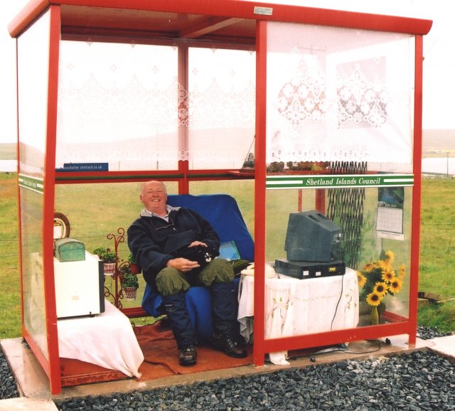
Unst Bus Shelter
The Unst Bus Shelter, also known as Bobby's Bus Shelter, is a bus shelter and bus stop near the village of Baltasound, on the isle of Unst, Shetland Islands...
Nearby Amenities
Located within 500m of 60.7814,-0.93454656Have you been to Blue Geo?
Leave your review of Blue Geo below (or comments, questions and feedback).