Body Geo
Coastal Feature, Headland, Point in Shetland
Scotland
Body Geo
Body Geo is a prominent coastal feature located in Shetland, an archipelago in Scotland. It is specifically classified as a headland or point due to its unique geographical characteristics and its protrusion into the sea. This coastal landmark is situated on the eastern coast of Shetland, near the village of Lerwick.
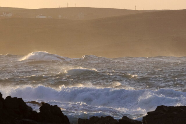
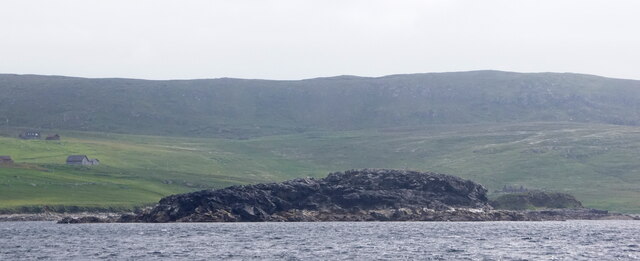
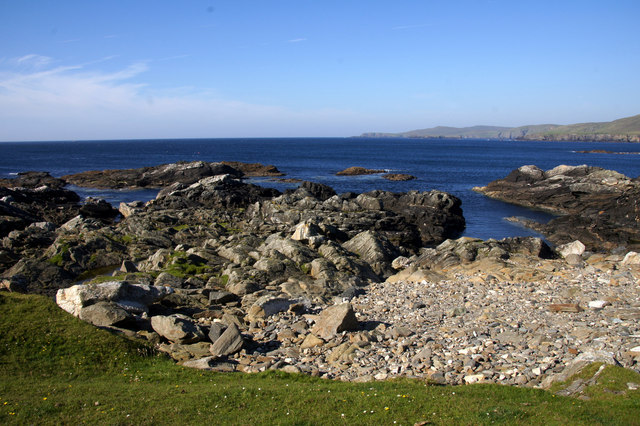
Body Geo is characterized by its steep cliffs that rise dramatically from the North Sea. These cliffs are composed of sedimentary rocks, mainly sandstone and shale, exhibiting distinct layers formed over millions of years. The height of the cliffs varies, reaching an average of 50 meters in some areas. The cliff faces are often weathered and eroded, displaying intricate patterns and formations.
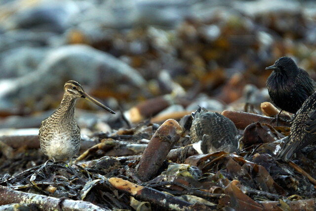
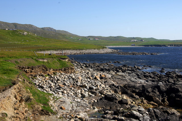
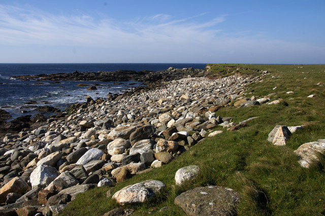
The coastline around Body Geo is rugged and jagged, with rocky outcrops and small caves. These features are a result of constant erosion by the sea, which has shaped the landscape over time. The area is also home to a diverse range of seabirds, including puffins, guillemots, and fulmars, which nest in the cliffs.
Access to Body Geo is possible through designated paths and trails, which provide visitors with breathtaking views of the surrounding coastal scenery. The site attracts nature enthusiasts, hikers, and photographers due to its stunning natural beauty and unique geological formations.
In conclusion, Body Geo is a striking headland or point in Shetland, characterized by its steep cliffs, intricate rock formations, and diverse wildlife. It serves as an important coastal landmark and a popular destination for exploring nature and experiencing the beauty of the Scottish coastline.
If you have any feedback on the listing, please let us know in the comments section below.
Body Geo Images
Images are sourced within 2km of 60.726547/-0.95832629 or Grid Reference HP5605. Thanks to Geograph Open Source API. All images are credited.


Body Geo is located at Grid Ref: HP5605 (Lat: 60.726547, Lng: -0.95832629)
Unitary Authority: Shetland Islands
Police Authority: Highlands and Islands
What 3 Words
///intervals.mull.refills. Near Uyeasound, Shetland Islands
Nearby Locations
Related Wikis

Brough Holm
Brough Holm is a small island off Unst, in the North Isles of Shetland. It is off Westing, which as the name implies is on the west coast of Unst. The...

Society of Our Lady of the Isles
The Society of Our Lady of the Isles (SOLI) is a small Anglican religious order for women, founded in the late 20th century. It is located in Shetland...

St Olaf's Church, Unst
St Olaf's Church, Unst is a ruined medieval church located on the island of Unst, in Shetland, Scotland, UK. The church was built in the Celtic style,...

Cullivoe
Cullivoe (Old Norse: Kollavágr - Bay of Kolli), is a village on Yell in the Shetland Islands. It is in the north east of the island, near Bluemull Sound...

Belmont House, Shetland
Belmont House is a neo classical Georgian Country House Estate on the island of Unst, the most northerly of the Shetland Islands, [United Kingdom] and...
Unst
Unst (; Scots: Unst; Norn: Ønst) is one of the North Isles of the Shetland Islands, Scotland. It is the northernmost of the inhabited British Isles and...

1992 New Year's Day Storm
The New Year's Day Storm (Norwegian: Nyttårsorkanen), known in Scotland as the 'Hogmanay Hurricane', was an intense European windstorm that affected much...

Uyeasound
Uyeasound is a village on the Isle of Unst, the northernmost island of the Shetland Islands, Scotland. It takes its name from the neighbouring strait of...
Nearby Amenities
Located within 500m of 60.726547,-0.95832629Have you been to Body Geo?
Leave your review of Body Geo below (or comments, questions and feedback).