Clay Geo
Coastal Feature, Headland, Point in Shetland
Scotland
Clay Geo
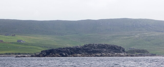
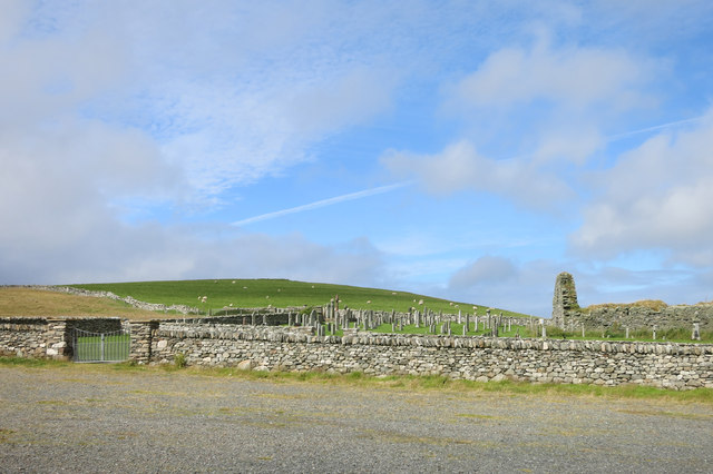
Clay Geo is a prominent coastal feature located on the Shetland Islands, which are part of Scotland. It is classified as a headland and point due to its unique geological structure and its strategic position along the coastline. The term "geo" is derived from the Old Norse word "gjá" which means a narrow cleft or chasm, and accurately describes the physical characteristics of this feature.
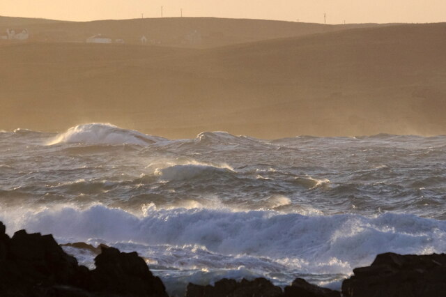
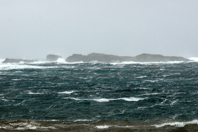
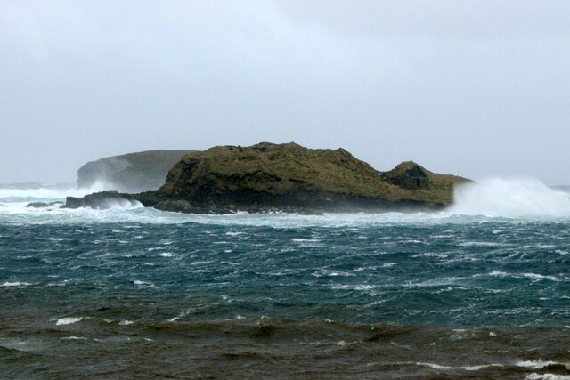
Clay Geo is characterized by steep cliffs made of sedimentary rocks, primarily composed of clay and shale. These cliffs rise dramatically from the sea, providing a striking visual spectacle for visitors. The layers of clay and shale are a result of millions of years of geological processes, including erosion and sedimentation.
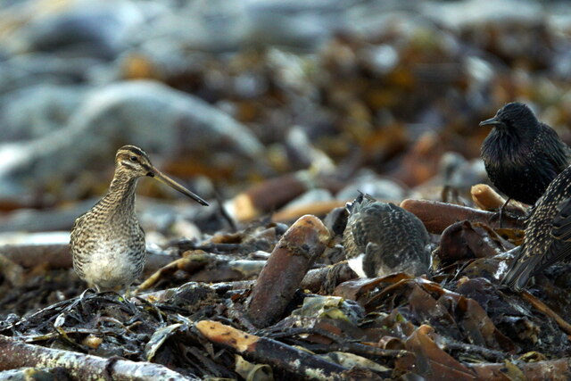
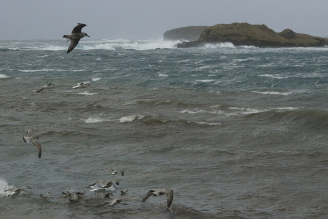
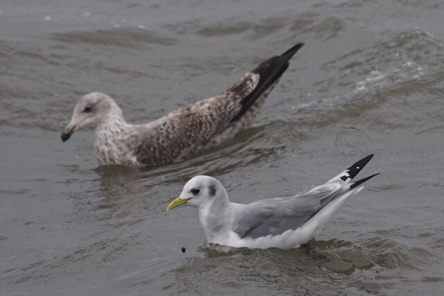
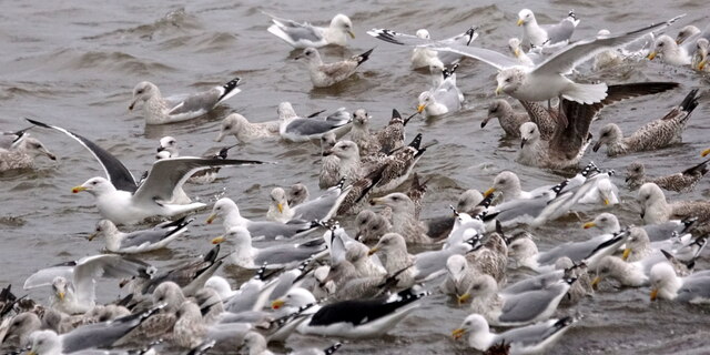
The headland and point formation of Clay Geo provides a natural barrier against the powerful waves and currents of the North Sea. This geological feature plays a crucial role in protecting the surrounding area from erosion and coastal flooding. It also serves as a refuge for various seabird species, such as puffins and guillemots, who nest in the cliffs.
Due to its scenic beauty and ecological importance, Clay Geo is a popular destination for nature enthusiasts and hikers. Visitors can enjoy breathtaking views of the surrounding sea, observe diverse wildlife, and explore the nearby coastal trails. It is also a favored spot for photographers, capturing the rugged beauty of the Shetland Islands.
In conclusion, Clay Geo is a significant coastal feature on the Shetland Islands, serving as a headland and point. Its steep cliffs made of clay and shale provide protection against erosion and flooding, while also offering a habitat for various seabird species. It is a favored destination for nature lovers and photographers, showcasing the unique geological and ecological characteristics of the area.
If you have any feedback on the listing, please let us know in the comments section below.
Clay Geo Images
Images are sourced within 2km of 60.725994/-0.96336731 or Grid Reference HP5605. Thanks to Geograph Open Source API. All images are credited.


Clay Geo is located at Grid Ref: HP5605 (Lat: 60.725994, Lng: -0.96336731)
Unitary Authority: Shetland Islands
Police Authority: Highlands and Islands
What 3 Words
///blank.mothering.opens. Near Uyeasound, Shetland Islands
Nearby Locations
Related Wikis

Brough Holm
Brough Holm is a small island off Unst, in the North Isles of Shetland. It is off Westing, which as the name implies is on the west coast of Unst. The...

Society of Our Lady of the Isles
The Society of Our Lady of the Isles (SOLI) is a small Anglican religious order for women, founded in the late 20th century. It is located in Shetland...

St Olaf's Church, Unst
St Olaf's Church, Unst is a ruined medieval church located on the island of Unst, in Shetland, Scotland, UK. The church was built in the Celtic style,...

Cullivoe
Cullivoe (Old Norse: Kollavágr - Bay of Kolli), is a village on Yell in the Shetland Islands. It is in the north east of the island, near Bluemull Sound...
Nearby Amenities
Located within 500m of 60.725994,-0.96336731Have you been to Clay Geo?
Leave your review of Clay Geo below (or comments, questions and feedback).