Teisti Geo
Coastal Feature, Headland, Point in Shetland
Scotland
Teisti Geo

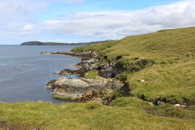
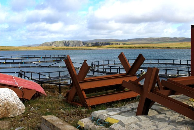
Teisti Geo is a prominent coastal feature located in the Shetland Islands, an archipelago in Scotland. It is specifically found on the mainland of the Shetland Islands, near the village of Vidlin. Teisti Geo is recognized as a headland or a point, extending into the North Sea.
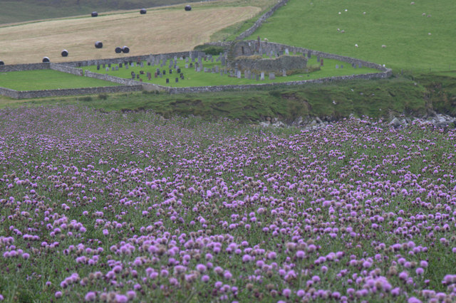
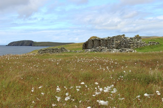
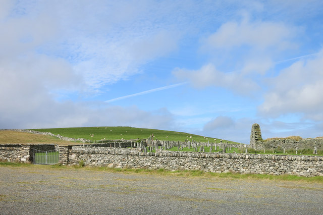
This coastal feature is characterized by its rugged and rocky terrain, with steep cliffs and jagged edges that overlook the sea. The cliffs of Teisti Geo reach an impressive height, providing breathtaking views of the surrounding landscape and the vast expanse of the North Sea. The geology of the area is predominantly composed of sedimentary rocks, which have been shaped by erosion over millions of years.
Teisti Geo is known for its rich biodiversity, with various species of seabirds, including puffins and fulmars, nesting on the cliffs. It also serves as a habitat for other marine wildlife, such as seals and dolphins, which can often be spotted in the waters surrounding the headland.
Visitors to Teisti Geo can enjoy its natural beauty through walking trails that offer panoramic vistas of the coastline and the open sea. The headland is a popular destination for hikers and nature enthusiasts who seek to explore the rugged beauty of the Shetland Islands.
Due to its exposed location on the coast, Teisti Geo can experience strong winds and rough seas, making it an ideal spot for surfing and other water sports. However, caution should be exercised when visiting, as the cliffs can be dangerous and unstable.
Overall, Teisti Geo offers a unique and stunning coastal experience, combining dramatic landscapes, diverse wildlife, and recreational opportunities for those who venture to this remote part of the Shetland Islands.
If you have any feedback on the listing, please let us know in the comments section below.
Teisti Geo Images
Images are sourced within 2km of 60.706911/-0.9712004 or Grid Reference HP5603. Thanks to Geograph Open Source API. All images are credited.


Teisti Geo is located at Grid Ref: HP5603 (Lat: 60.706911, Lng: -0.9712004)
Unitary Authority: Shetland Islands
Police Authority: Highlands and Islands
What 3 Words
///unless.kitchen.partly. Near Uyeasound, Shetland Islands
Nearby Locations
Related Wikis

St Olaf's Church, Unst
St Olaf's Church, Unst is a ruined medieval church located on the island of Unst, in Shetland, Scotland, UK. The church was built in the Celtic style,...

Cullivoe
Cullivoe (Old Norse: Kollavágr - Bay of Kolli), is a village on Yell in the Shetland Islands. It is in the north east of the island, near Bluemull Sound...

Belmont House, Shetland
Belmont House is a neo classical Georgian Country House Estate on the island of Unst, the most northerly of the Shetland Islands, [United Kingdom] and...
Belmont, Shetland
Belmont is a settlement and ferry terminal in southern Unst in the Shetland Islands. The ferry crosses from here to Gutcher in Yell and to Hamars Ness...

Bluemull Sound
Bluemull Sound is the strait between Unst and Yell in Shetland's North Isles. A ferry service crosses it regularly. Cullivoe is on the Yell side, and the...

Brough Holm
Brough Holm is a small island off Unst, in the North Isles of Shetland. It is off Westing, which as the name implies is on the west coast of Unst. The...
Society of Our Lady of the Isles
The Society of Our Lady of the Isles (SOLI) is a small Anglican religious order for women, founded in the late 20th century. It is located in Shetland...

Uyeasound
Uyeasound is a village on the Isle of Unst, the northernmost island of the Shetland Islands, Scotland. It takes its name from the neighbouring strait of...
Have you been to Teisti Geo?
Leave your review of Teisti Geo below (or comments, questions and feedback).