Aplins Geo
Coastal Feature, Headland, Point in Shetland
Scotland
Aplins Geo

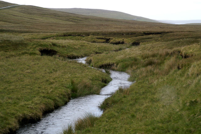
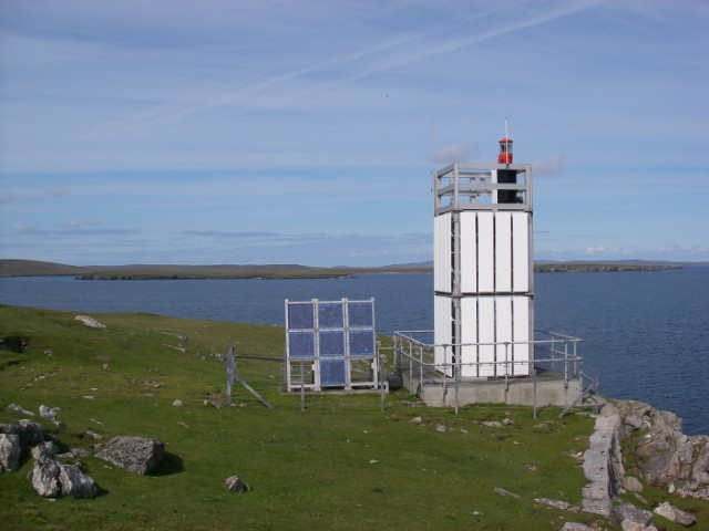
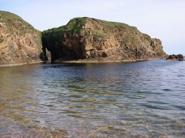
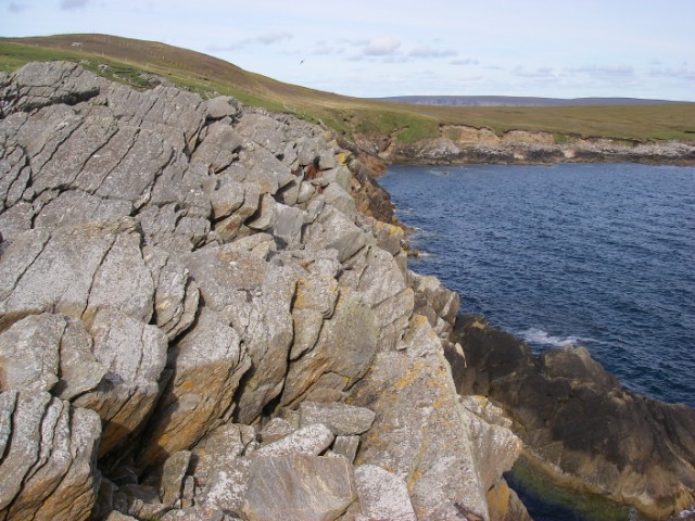
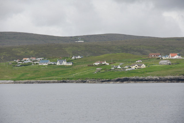
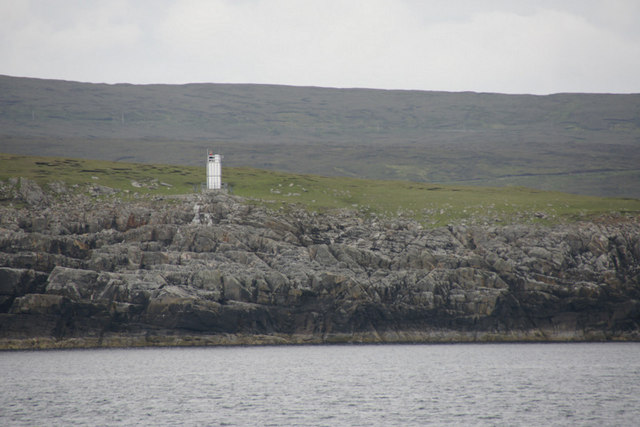
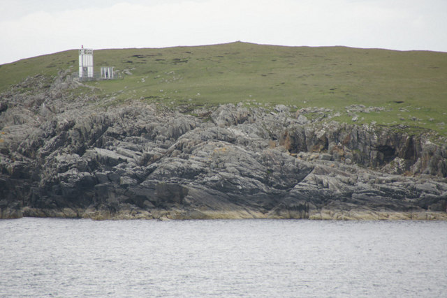
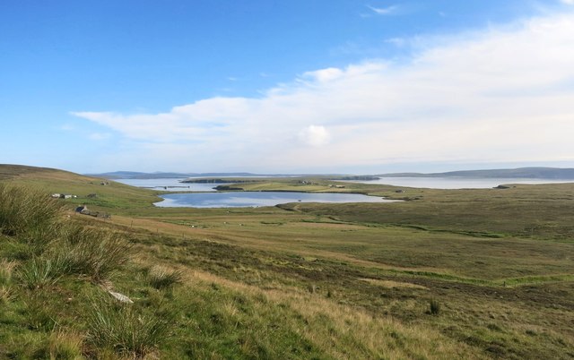
Aplins Geo is a prominent coastal feature located in Shetland, a group of islands situated off the northern coast of Scotland. It is specifically classified as a headland or point, characterized by its distinct geographical formation and remarkable natural beauty.
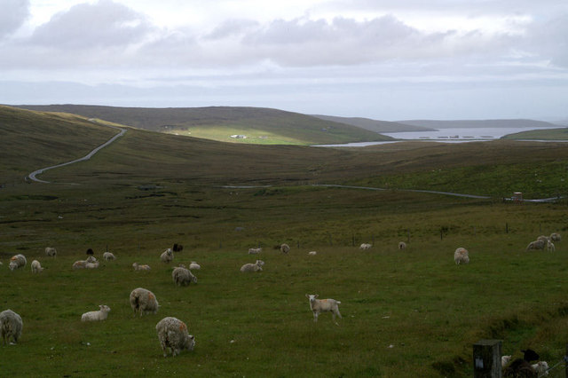
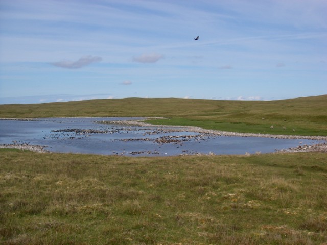
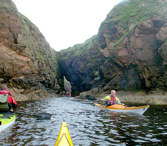
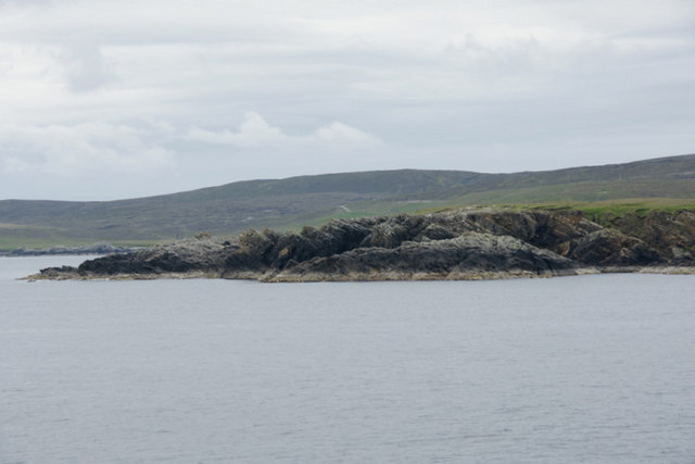
Positioned on the eastern coast of Shetland, Aplins Geo juts out into the North Sea, offering breathtaking views of the surrounding landscape. The headland is composed of rugged cliffs, which rise steeply from the sea, providing an awe-inspiring sight for visitors and locals alike.
At the top of the headland, visitors can find a grassy plateau, providing a perfect vantage point to take in the panoramic vistas of the sea and the surrounding coastline. This plateau also serves as an ideal spot for picnics or leisurely walks, allowing visitors to immerse themselves in the serenity of the area.
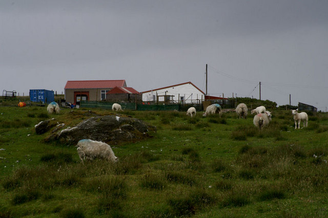
Aplins Geo is home to a diverse range of wildlife, including various seabirds and marine animals. Birdwatchers can observe species such as puffins, guillemots, and fulmars nesting along the cliffs, while lucky visitors may even catch a glimpse of seals swimming in the waters below.
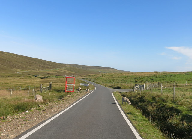
The headland is easily accessible by foot, with a well-maintained coastal path leading to Aplins Geo. This path is part of a larger network of hiking trails, allowing nature enthusiasts to explore the surrounding area and discover more of Shetland's stunning coastal features.
Overall, Aplins Geo is a remarkable coastal feature in Shetland, offering a unique combination of dramatic cliffs, picturesque views, and abundant wildlife. Its natural beauty and accessibility make it a popular destination for nature lovers and photographers seeking to capture the rugged charm of the Scottish coastline.
If you have any feedback on the listing, please let us know in the comments section below.
Aplins Geo Images
Images are sourced within 2km of 60.56346/-1.0086291 or Grid Reference HU5487. Thanks to Geograph Open Source API. All images are credited.
Aplins Geo is located at Grid Ref: HU5487 (Lat: 60.56346, Lng: -1.0086291)
Unitary Authority: Shetland Islands
Police Authority: Highlands and Islands
What 3 Words
///filer.croutons.hampers. Near Houbie, Shetland Islands
Nearby Locations
Related Wikis

Aywick
Aywick is a small settlement on the east side of Yell, an island forming part of the Shetland Islands north of Scotland.The naturalist Bobby Tulloch was...

Otterswick
Otterswick is a hamlet on the island of Yell in the Shetland Islands, on the inlet of Otters Wick. It is on the east side of the island. There is also...

Gossabrough
Gossabrough is a coastal hamlet, wick and ness on the southeast side of the island of Yell, Shetland, Scotland. The Wick of Gossabrough lies between the...

Mid Yell
Mid Yell is a coastal settlement on the island of Yell, the second largest of Shetland Islands, Scotland. Mid Yell, the largest settlement on the island...

Hascosay
Hascosay (Scots: Hascosay; Old Norse "Hafskotsey") is a small island lying between Yell and Fetlar in the Shetland Islands, Scotland. == Geography and... ==

Brough Lodge
Brough Lodge is a 19th-century Gothic mansion on Fetlar, one of the Shetland Islands, in northern Scotland. Built by the Nicolson family, who were responsible...
Burra Voe
Burra Voe (Old Norse: Borgavagr, Broch Bay) is sheltered bay (voe) at the southeast corner of the island of Yell. The village of Burravoe (HU525795) is...

Basta, Shetland
Basta is a hamlet on the island of Yell in the Shetland islands of Scotland. It is on the shores of Basta Voe and is in the parish of Yell. == References... ==
Have you been to Aplins Geo?
Leave your review of Aplins Geo below (or comments, questions and feedback).