Sodis Geo

Coastal Feature, Headland, Point in Shetland

Scotland

Sodis Geo

Winding moorland road B9081 north of Burravoe.
Winding moorland road Credit: Oliver Dixon

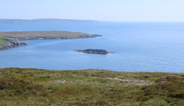
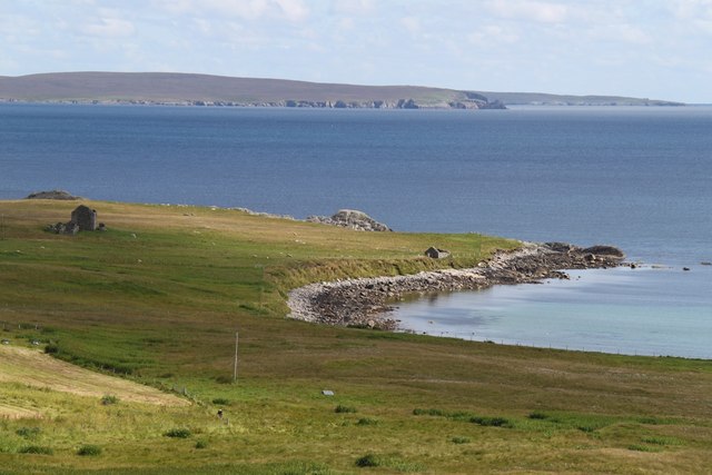
Sodis Geo is a prominent coastal feature located on the Shetland Islands, situated off the northeast coast of Scotland. It is specifically found on the mainland of Shetland, on the western side of the island. Sodis Geo is a headland or point that extends out into the North Sea, jutting out towards the west.

The geography of Sodis Geo is characterized by steep cliffs that rise from the sea, forming a dramatic and picturesque landscape. These cliffs are composed of rugged rock formations, primarily consisting of sedimentary rocks such as sandstone and shale. The cliffs tower above the sea, reaching heights of approximately 100 meters, providing breathtaking views of the surrounding area.

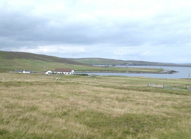
The coastal area around Sodis Geo is known for its rich marine life. The turbulent waters of the North Sea attract a diverse range of fish species, making it a popular spot for fishing enthusiasts. Seabirds also frequent the area, with colonies of puffins, guillemots, and razorbills nesting on the cliffs.

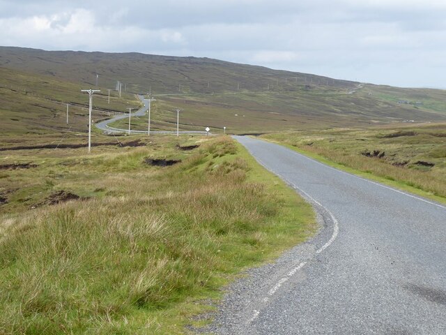
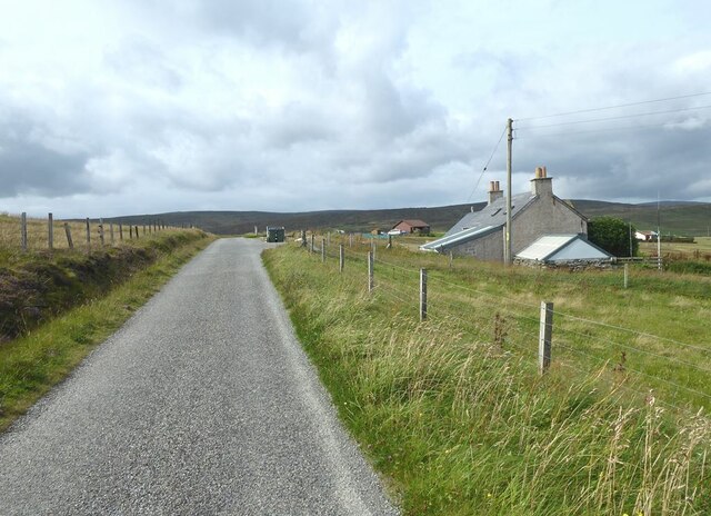
Sodis Geo is a popular destination for visitors, who come to admire the natural beauty and explore the surrounding coastline. The headland offers opportunities for coastal walks and hikes, allowing visitors to experience the ruggedness and tranquility of the Shetland landscape. The area is well-served with footpaths and viewing platforms, ensuring that visitors can safely enjoy the stunning vistas.

Overall, Sodis Geo is a striking coastal feature on the Shetland Islands, offering a unique blend of dramatic cliffs, abundant marine life, and breathtaking views.

If you have any feedback on the listing, please let us know in the comments section below.
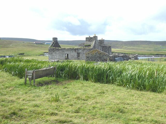
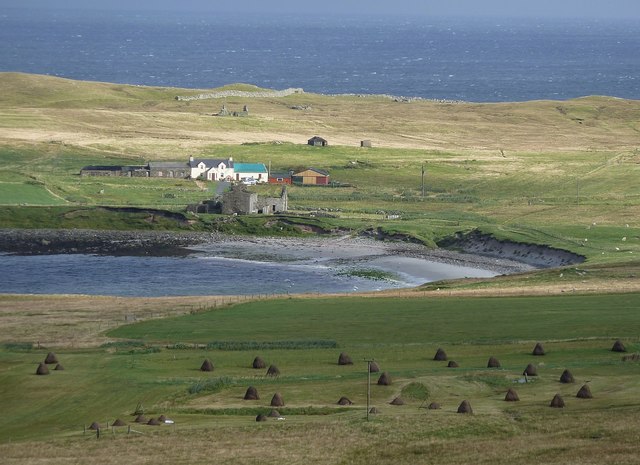
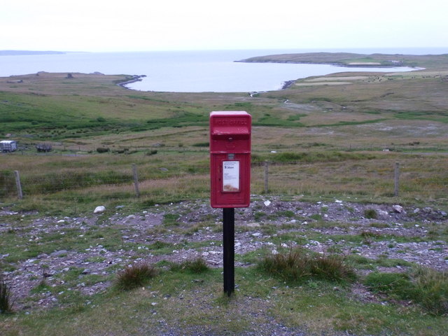
Sodis Geo Images

Images are sourced within 2km of 60.538537/-1.0383891 or Grid Reference HU5284. Thanks to Geograph Open Source API. All images are credited.

Winding moorland road B9081 north of Burravoe.
Winding moorland road
B9081 north of Burravoe.
Road at Gossabrough
Road at Gossabrough
Road at Gossabrough With a glimpse of the sea beyond.
Road at Gossabrough
With a glimpse of the sea beyond.
Driveway to Gudon
Driveway to Gudon
Gudon With the Wick of Gossabrough.
Gudon
With the Wick of Gossabrough.
Small beach at Bottom On the Wick of Gossabrough.
Small beach at Bottom
On the Wick of Gossabrough.
Ruin at Bottom Above the beach on the Wick of Gossabrough.
Ruin at Bottom
Above the beach on the Wick of Gossabrough.
Ness of Queyon Taken on the B9081 as we pass through East Yell, Yell, Shetland, I am looking across Otters Wick to the Ness of Queyon, the croft of the same name and the Hill of Queyon. The cliffs of Hascosay and Mid Yell can be seen beyond.
Ness of Queyon
Taken on the B9081 as we pass through East Yell, Yell, Shetland, I am looking across Otters Wick to the Ness of Queyon, the croft of the same name and the Hill of Queyon. The cliffs of Hascosay and Mid Yell can be seen beyond.
Black Skerry Taken on the B9081 as we pass through East Yell, Yell, Shetland, I am looking east across common cotton-grass and the water of Otters Wick to Black Skerry. The Ness of Queyon is to the left of shot in the middle distance with Mid Yell beyond.
Black Skerry
Taken on the B9081 as we pass through East Yell, Yell, Shetland, I am looking east across common cotton-grass and the water of Otters Wick to Black Skerry. The Ness of Queyon is to the left of shot in the middle distance with Mid Yell beyond.
View over Gossabrough Hay stooks dot the field in front of a bay called the Wick of Gossabrough, named after the small collection of crofts and houses that surround it. The row of buildings on the far side of the bay seems to be called "Bottom" according to the map, and I think that the ruined building in front of them is Gossabrough Haa. Beyond them, in the distance, can be seen a wall on the Ness of  Gossabrough, it is in the adjacent square to the east (as are all the building that can be seen), and runs from HU53588307 to HU53508315
View over Gossabrough
Hay stooks dot the field in front of a bay called the Wick of Gossabrough, named after the small collection of crofts and houses that surround it. The row of buildings on the far side of the bay seems to be called "Bottom" according to the map, and I think that the ruined building in front of them is Gossabrough Haa. Beyond them, in the distance, can be seen a wall on the Ness of Gossabrough, it is in the adjacent square to the east (as are all the building that can be seen), and runs from HU53588307 to HU53508315
East Yell: postbox № ZE2 38, Holligarth A small, lonely postbox serving the hamlet of Gossabrough, which lies alongside the shore of the bay, Wick of Gossabrough, which we see in the background. The box is emptied at 9:30am daily, except Sunday.
East Yell: postbox № ZE2 38, Holligarth
A small, lonely postbox serving the hamlet of Gossabrough, which lies alongside the shore of the bay, Wick of Gossabrough, which we see in the background. The box is emptied at 9:30am daily, except Sunday.
East Yell: the White Wife This unusual monument commemorates a shipping disaster in April 1924. Setting sail from Gothenburg, bound for Chile, the 'Bohus' had been sailing for three days when a navigational error resulted in the ship becoming grounded a short distance from here, some 60 miles off her intended course. Within half an hour most of the ship had broken up.

Four of the 39 on board perished, and the survivors owed a lot to the men of Yell who acted swiftly when they saw the tragedy emerging.

The ship's figurehead was washed ashore in September 1924 and this is what we see here: erected by local people as a memorial to the tragedy, within sight of where it occurred.
East Yell: the White Wife
This unusual monument commemorates a shipping disaster in April 1924. Setting sail from Gothenburg, bound for Chile, the 'Bohus' had been sailing for three days when a navigational error resulted in the ship becoming grounded a short distance from here, some 60 miles off her intended course. Within half an hour most of the ship had broken up. Four of the 39 on board perished, and the survivors owed a lot to the men of Yell who acted swiftly when they saw the tragedy emerging. The ship's figurehead was washed ashore in September 1924 and this is what we see here: erected by local people as a memorial to the tragedy, within sight of where it occurred.
East Yell: the White Wife looks out Another view of <a href="https://www.geograph.org.uk/photo/2651277">HU5285 : East Yell: the White Wife</a>, from behind her as she looks out across Otters Wick. Black Skerry is the rock in the centre of the picture.

This unusual monument commemorates a shipping disaster in April 1924. Setting sail from Gothenburg, bound for Chile, the 'Bohus' had been sailing for three days when a navigational error resulted in the ship becoming grounded a short distance from here, some 60 miles off her intended course. Within half an hour most of the ship had broken up.

Four of the 39 on board perished, and the survivors owed a lot to the men of Yell who acted swiftly when they saw the tragedy emerging.

The ship's figurehead was washed ashore in September 1924 and this is what we see here: erected by local people as a memorial to the tragedy, within sight of where it occurred.
East Yell: the White Wife looks out
Another view of HU5285 : East Yell: the White Wife, from behind her as she looks out across Otters Wick. Black Skerry is the rock in the centre of the picture. This unusual monument commemorates a shipping disaster in April 1924. Setting sail from Gothenburg, bound for Chile, the 'Bohus' had been sailing for three days when a navigational error resulted in the ship becoming grounded a short distance from here, some 60 miles off her intended course. Within half an hour most of the ship had broken up. Four of the 39 on board perished, and the survivors owed a lot to the men of Yell who acted swiftly when they saw the tragedy emerging. The ship's figurehead was washed ashore in September 1924 and this is what we see here: erected by local people as a memorial to the tragedy, within sight of where it occurred.
East Yell: north edge of Otters Wick Looking down on the head of Otters Wick.
East Yell: north edge of Otters Wick
Looking down on the head of Otters Wick.
East Yell: the Methodist chapel A small chapel in the Otterswick area of East Yell.
East Yell: the Methodist chapel
A small chapel in the Otterswick area of East Yell.
Wick of Gossabrough Looking towards the beach
Wick of Gossabrough
Looking towards the beach
Small Church A small church near Otterswick
Small Church
A small church near Otterswick
B9081, Otterswick View of a bend in the road from the bogs. The East Yell Methodist Chapel is on the right.
B9081, Otterswick
View of a bend in the road from the bogs. The East Yell Methodist Chapel is on the right.
Show me another place!

Sodis Geo is located at Grid Ref: HU5284 (Lat: 60.538537, Lng: -1.0383891)

Unitary Authority: Shetland Islands

Police Authority: Highlands and Islands

What 3 Words

///carpentry.clash.octagonal. Near Ulsta, Shetland Islands

Related Wikis

Gossabrough

Gossabrough is a coastal hamlet, wick and ness on the southeast side of the island of Yell, Shetland, Scotland. The Wick of Gossabrough lies between the...

Otterswick

Otterswick is a hamlet on the island of Yell in the Shetland Islands, on the inlet of Otters Wick. It is on the east side of the island. There is also...

Aywick

Aywick is a small settlement on the east side of Yell, an island forming part of the Shetland Islands north of Scotland.The naturalist Bobby Tulloch was...

Burravoe

Burravoe is a community on the north shore of Burra Voe, in the south-east part of the island of Yell in the Shetland Islands, Scotland. The name Burravoe...

Burra Voe

Burra Voe (Old Norse: Borgavagr, Broch Bay) is sheltered bay (voe) at the southeast corner of the island of Yell. The village of Burravoe (HU525795) is...

Old Haa Museum

The Old Haa of Brough in located in Burravoe, Yell, Shetland, Scotland. Built for Robert Tyrie, a merchant, in 1672, houses the local museum for Burravoe...

Mid Yell

Mid Yell is a coastal settlement on the island of Yell, the second largest of Shetland Islands, Scotland. Mid Yell, the largest settlement on the island...

Copister

Copister is a village in Yell. It is a former centre for haaf fishing, and has a shingle beach. == References == Blackadder, Jill Slee (2003). Shetland...

Have you been to Sodis Geo?

Leave your review of Sodis Geo below (or comments, questions and feedback).