North Hoga Ness
Coastal Feature, Headland, Point in Shetland
Scotland
North Hoga Ness

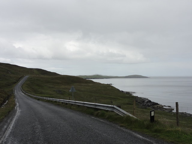
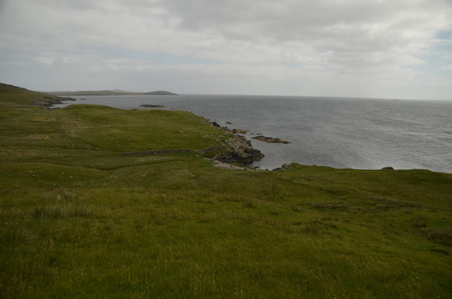
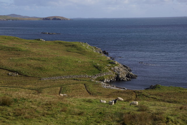
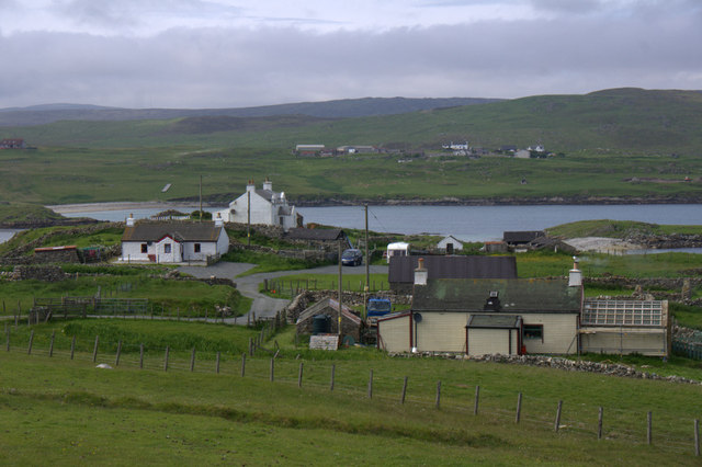
North Hoga Ness is a prominent coastal feature located on the Shetland Islands, off the northeast coast of Scotland. Situated on the northern tip of the Mainland, the largest island in the Shetland archipelago, this headland juts out into the turbulent waters of the North Sea.
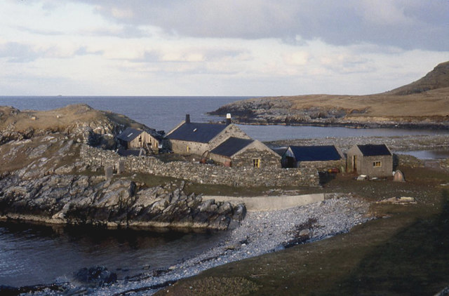
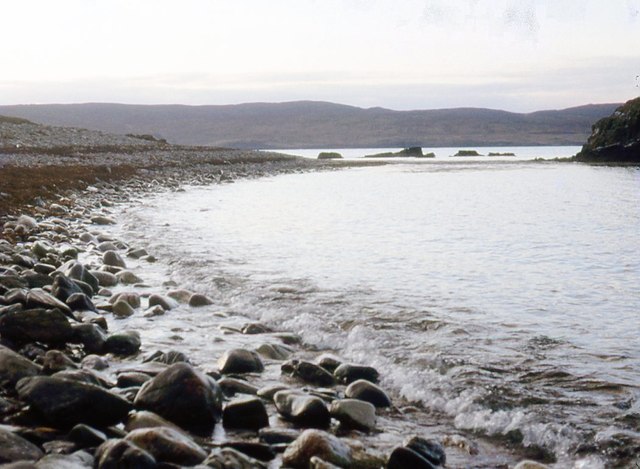
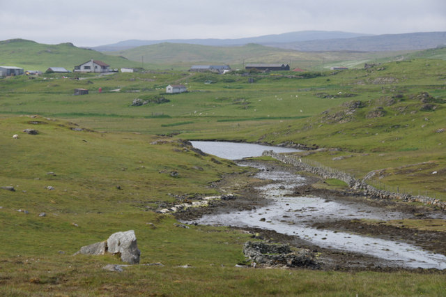
Covered in rugged cliffs and surrounded by small rocky islets, North Hoga Ness is a stunning example of the dramatic coastal landscape found in this region. The headland itself is composed of ancient sandstone, formed millions of years ago during the Devonian period. The constant battering of the waves has sculpted the cliffs into intricate shapes, creating an awe-inspiring sight for visitors.
The area around North Hoga Ness is also known for its rich wildlife. The headland is a haven for seabirds, with colonies of puffins, guillemots, and kittiwakes nesting on the cliffs. The surrounding waters are home to a diverse range of marine life, including seals, dolphins, and even occasional sightings of whales.
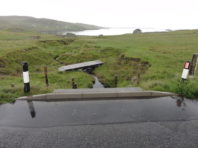
Access to North Hoga Ness is relatively easy, with a well-maintained footpath leading to the headland. From the top, visitors can enjoy breathtaking views of the rugged coastline, the open sea, and the nearby islets. The area is also popular with hikers, who can explore the surrounding coastal trails and discover hidden coves and beaches.
In summary, North Hoga Ness is a captivating coastal feature on the Shetland Islands. Its dramatic cliffs, diverse wildlife, and stunning views make it a must-visit destination for nature enthusiasts and those seeking to experience the raw beauty of the Scottish coastline.
If you have any feedback on the listing, please let us know in the comments section below.
North Hoga Ness Images
Images are sourced within 2km of 60.273768/-1.1374279 or Grid Reference HU4754. Thanks to Geograph Open Source API. All images are credited.


North Hoga Ness is located at Grid Ref: HU4754 (Lat: 60.273768, Lng: -1.1374279)
Unitary Authority: Shetland Islands
Police Authority: Highlands and Islands
What 3 Words
///warm.wages.haggling. Near Symbister, Shetland Islands
Nearby Locations
Related Wikis

Freester
Freester is a settlement on Mainland, Shetland, Scotland. It is in the parish of Nesting. == References == == External links == Canmore - Hard Knowe site...

Brettabister
Brettabister is a settlement on the island of Mainland in Shetland, Scotland. It is in the parish of Nesting. St. Ola's parish church lies to the east...
Nesting, Shetland
Nesting is a parish in the Shetland Islands, Scotland. It includes a part of the east Shetland Mainland, measuring about twelve by four miles (19 by 6...

RAF Catfirth
RAF Catfirth was a First World War seaplane base located on the island of Mainland in the Shetland Islands, Scotland. The base was under the control of...

North Isle of Gletness
The North Isle of Gletness is one of the Shetland Islands. It is east of the Shetland Mainland, near Gletness in Nesting parish, and is so called in contradistinction...
Geopark Shetland
Geopark Shetland is the name used by the Geopark formally established in September 2009 on its entry into the European Geoparks Network. The Geopark extends...

South Isle of Gletness
The South Isle of Gletness is an islet off Gletness, in Nesting in east central, Mainland, Shetland. It is 30m at its highest point. Amongst its features...

Neap
Neap is a small village in the east coast of the Mainland of the Shetland Islands, Scotland. Neap is situated at the end of the road from Brettabister...
Nearby Amenities
Located within 500m of 60.273768,-1.1374279Have you been to North Hoga Ness?
Leave your review of North Hoga Ness below (or comments, questions and feedback).