Ben Holm
Island in Shetland
Scotland
Ben Holm

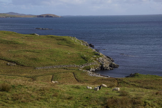
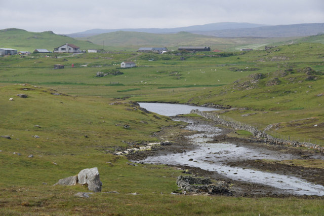
Ben Holm is a small, uninhabited island located in the Shetland archipelago, off the northeastern coast of Scotland. It lies in the North Sea, approximately 3 miles northwest of the mainland of Shetland. The island is part of the Yell Sound Special Protection Area, designated for its rich birdlife and diverse marine habitat.
Ben Holm is a rocky island, with steep cliffs rising up to 75 meters in height. Its exposed position makes it vulnerable to strong winds and rough seas, contributing to its rugged and wild appearance. The island is predominantly composed of old red sandstone, a characteristic geological feature of the region.
The island is known for its important seabird colonies, particularly its breeding populations of Atlantic puffins and black guillemots. These birds nest in crevices and burrows along the cliffs, taking advantage of the island's isolation and lack of predators. Other bird species, such as razorbills and fulmars, also frequent the area.
Due to its remote and uninhabited status, Ben Holm has no permanent human population or infrastructure. However, it is often visited by birdwatchers, wildlife enthusiasts, and boat tours, who come to appreciate its natural beauty and observe the diverse avian species that call it home.
Overall, Ben Holm serves as a vital sanctuary for various bird species, contributing to the ecological diversity and conservation efforts of the Shetland Islands.
If you have any feedback on the listing, please let us know in the comments section below.
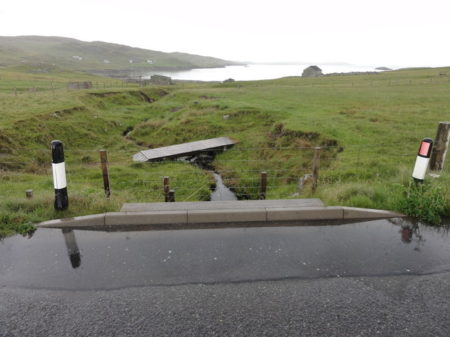
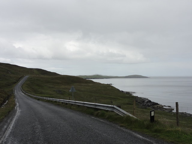
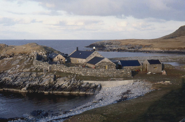
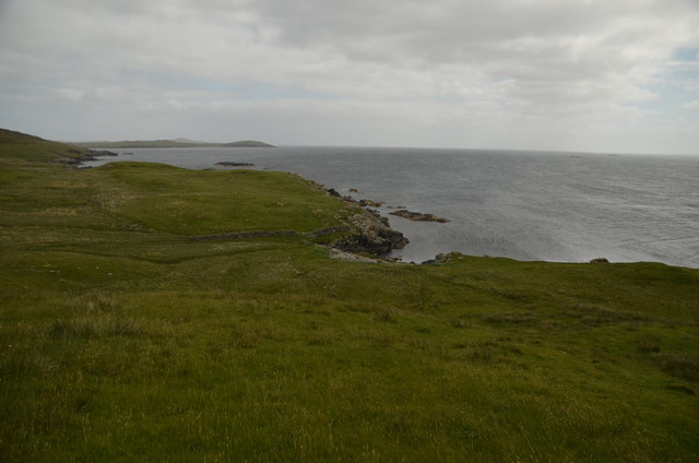
Ben Holm Images
Images are sourced within 2km of 60.27184/-1.1504943 or Grid Reference HU4754. Thanks to Geograph Open Source API. All images are credited.


Ben Holm is located at Grid Ref: HU4754 (Lat: 60.27184, Lng: -1.1504943)
Unitary Authority: Shetland Islands
Police Authority: Highlands and Islands
What 3 Words
///fights.give.hatch. Near Symbister, Shetland Islands
Nearby Locations
Related Wikis

Freester
Freester is a settlement on Mainland, Shetland, Scotland. It is in the parish of Nesting. == References == == External links == Canmore - Hard Knowe site...

RAF Catfirth
RAF Catfirth was a First World War seaplane base located on the island of Mainland in the Shetland Islands, Scotland. The base was under the control of...

Brettabister
Brettabister is a settlement on the island of Mainland in Shetland, Scotland. It is in the parish of Nesting. St. Ola's parish church lies to the east...

North Isle of Gletness
The North Isle of Gletness is one of the Shetland Islands. It is east of the Shetland Mainland, near Gletness in Nesting parish, and is so called in contradistinction...
Nesting, Shetland
Nesting is a parish in the Shetland Islands, Scotland. It includes a part of the east Shetland Mainland, measuring about twelve by four miles (19 by 6...
Geopark Shetland
Geopark Shetland is the name used by the Geopark formally established in September 2009 on its entry into the European Geoparks Network. The Geopark extends...

South Isle of Gletness
The South Isle of Gletness is an islet off Gletness, in Nesting in east central, Mainland, Shetland. It is 30m at its highest point. Amongst its features...

Neap
Neap is a small village in the east coast of the Mainland of the Shetland Islands, Scotland. Neap is situated at the end of the road from Brettabister...
Nearby Amenities
Located within 500m of 60.27184,-1.1504943Have you been to Ben Holm?
Leave your review of Ben Holm below (or comments, questions and feedback).