Fugla Geo

Coastal Feature, Headland, Point in Shetland

Scotland

Fugla Geo

Gerherda A headland on the Vigon coast. Taken from one of the Yell Sound ferries on a North Isles cruise.
Gerherda Credit: Mike Pennington

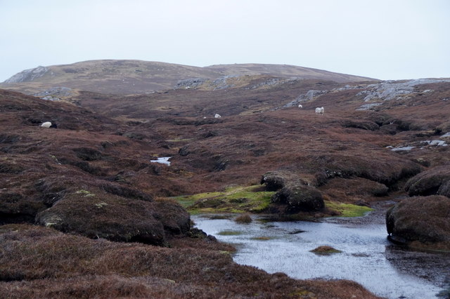
Fugla Geo is a prominent coastal feature located on the Shetland Islands, off the northeastern coast of Scotland. It is a headland or point that juts out into the North Atlantic Ocean, offering stunning views and unique geological characteristics.

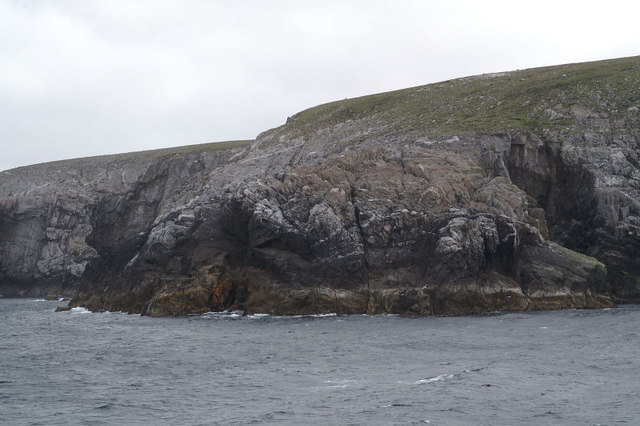
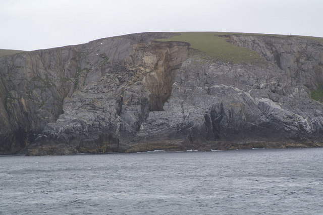
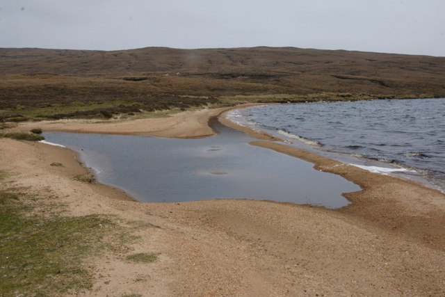
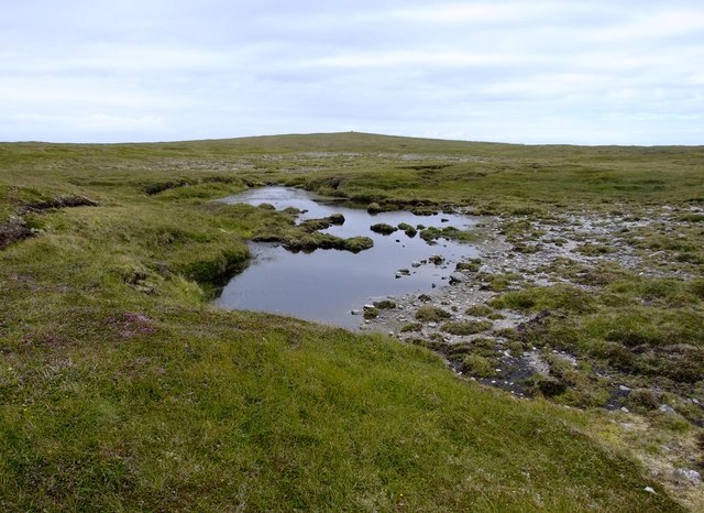
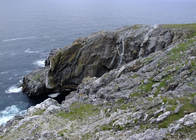
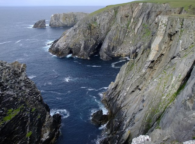
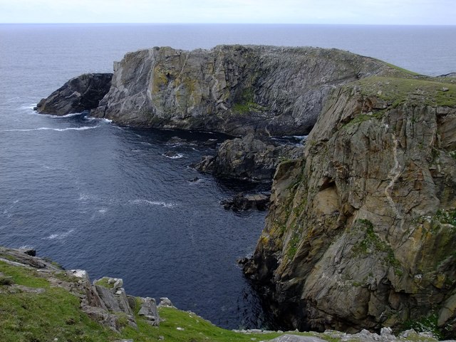
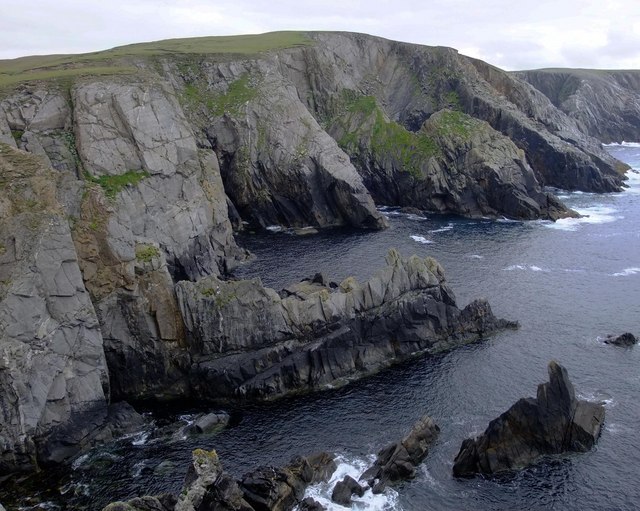
Situated on the west coast of Bressay Island, Fugla Geo is known for its rugged cliffs and dramatic scenery. The headland is composed of layered sedimentary rocks, such as sandstone and shale, which have been shaped and eroded by the powerful forces of wind and waves over millions of years. This has resulted in the formation of steep cliffs, sea stacks, and caves that add to the allure of the area.

Fugla Geo is also a haven for diverse wildlife, attracting bird enthusiasts from all over the world. The cliffs provide nesting sites for numerous seabirds, including puffins, kittiwakes, and guillemots. Visitors can often spot these birds perched on the cliffs or soaring above the crashing waves. Additionally, the surrounding waters are home to seals, dolphins, and even whales, adding to the overall richness of the marine ecosystem.

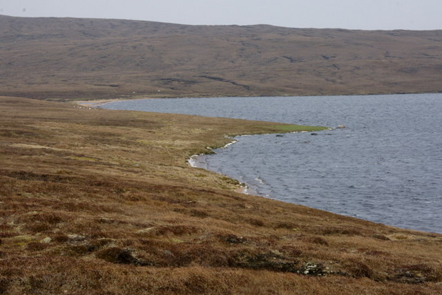
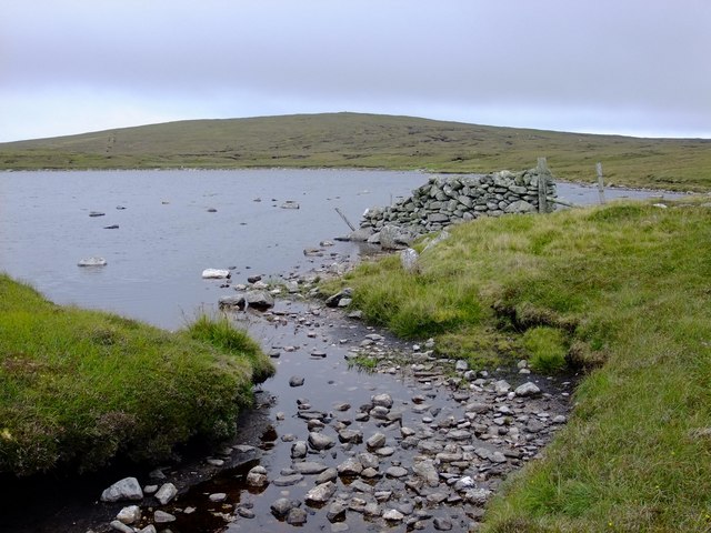
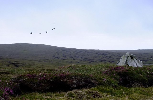
Access to Fugla Geo is possible via a scenic coastal walk from Bressay's main settlement, Maryfield. The walk offers breathtaking views of the surrounding landscape, taking visitors past picturesque beaches and heathland. Once at Fugla Geo, visitors can explore the cliffs and caves, or simply enjoy the tranquility and natural beauty of the area.

In summary, Fugla Geo is a remarkable coastal feature on Bressay Island, Shetland. Its stunning cliffs, diverse wildlife, and scenic surroundings make it a must-visit destination for nature lovers and outdoor enthusiasts.

If you have any feedback on the listing, please let us know in the comments section below.

Fugla Geo Images

Images are sourced within 2km of 60.679557/-1.1288077 or Grid Reference HU4799. Thanks to Geograph Open Source API. All images are credited.

Gerherda A headland on the Vigon coast. Taken from one of the Yell Sound ferries on a North Isles cruise.
Gerherda
A headland on the Vigon coast. Taken from one of the Yell Sound ferries on a North Isles cruise.
Markamouth Promontory on the Vigon coast. Taken from one of the Yell Sound ferries on a North Isles cruise.
Markamouth
Promontory on the Vigon coast. Taken from one of the Yell Sound ferries on a North Isles cruise.
North-west shore of Gossa Water Looking towards Fugla Field.
North-west shore of Gossa Water
Looking towards Fugla Field.
Green headland, Gossa Water Green headlands like this are usually formed by extensive eutropication caused by many years of accumulated droppings left behind by roosting gulls and skuas.
Green headland, Gossa Water
Green headlands like this are usually formed by extensive eutropication caused by many years of accumulated droppings left behind by roosting gulls and skuas.
Geomorphology in miniature, Gossa Water A beach-head bar damming a stream and forming a lake behind the beach, but all contained in a few square metres. The dammed burn is the wonderfully-named Burn of Rimminimartha.
Geomorphology in miniature, Gossa Water
A beach-head bar damming a stream and forming a lake behind the beach, but all contained in a few square metres. The dammed burn is the wonderfully-named Burn of Rimminimartha.
North-east shore of Gossa Water Looking east towards the outflow.
North-east shore of Gossa Water
Looking east towards the outflow.
North-east shore of Gossa Water Looking west.
North-east shore of Gossa Water
Looking west.
Burn of Gossawater There has clearly been some work carried out here recently, presumably adding Gossa Water to the Yell water system, as there is also work being carried out nearby at Dalsetter.
Burn of Gossawater
There has clearly been some work carried out here recently, presumably adding Gossa Water to the Yell water system, as there is also work being carried out nearby at Dalsetter.
Point 83 metres, above Gerherda
Gerherda from across Black Geo Looking across the Black Geo of Gerherda to Gerherda itself.
Gerherda from across Black Geo
Looking across the Black Geo of Gerherda to Gerherda itself.
Looking across the Geo of Markamouth The headland and sea stack of Markamouth are visible in the background, beyond the 60 m high cliffs.
Looking across the Geo of Markamouth
The headland and sea stack of Markamouth are visible in the background, beyond the 60 m high cliffs.
Markamouth The small rocky peninsula carries some wonderful granite pegmatite veins, with huge books of muscovite (light mica) and biotite (dark mica).  It is also a favourite feeding station for Greater black-backed gulls.  The northern side of the peninsula has been scoured clean of vegetation by storms.
Markamouth
The small rocky peninsula carries some wonderful granite pegmatite veins, with huge books of muscovite (light mica) and biotite (dark mica). It is also a favourite feeding station for Greater black-backed gulls. The northern side of the peninsula has been scoured clean of vegetation by storms.
Looking south across Geo of Markamouth
Hill of Markamouth from Grud Waters The wall is an extension of a 3.5 km straight fence which runs from Tonga Field to the sea at Markamouth.
Hill of Markamouth from Grud Waters
The wall is an extension of a 3.5 km straight fence which runs from Tonga Field to the sea at Markamouth.
Greylag geese and Hill of Markamouth The numerous lochs in the area host a lot of Greylag geese.  Those in the picture were put up from a lochan some 300 m SW of this spot and flew in a circle around me before heading east in the direction of Fugla Water.  The simple but elegant cairn marks a small high spot.
Greylag geese and Hill of Markamouth
The numerous lochs in the area host a lot of Greylag geese. Those in the picture were put up from a lochan some 300 m SW of this spot and flew in a circle around me before heading east in the direction of Fugla Water. The simple but elegant cairn marks a small high spot.
The wilds of Yell north of Lumbister A square with no named features.
The wilds of Yell north of Lumbister
A square with no named features.
Green Hill, near Dalsetter Looking north along the plateau-like summit.
Green Hill, near Dalsetter
Looking north along the plateau-like summit.
Gossa Water from Green Hill With Little Gossa Water on the left.
Gossa Water from Green Hill
With Little Gossa Water on the left.
Show me another place!

Fugla Geo is located at Grid Ref: HU4799 (Lat: 60.679557, Lng: -1.1288077)

Unitary Authority: Shetland Islands

Police Authority: Highlands and Islands

What 3 Words

///merely.relegate.though. Near Gutcher, Shetland Islands

Nearby Locations

Fugla Geo

Related Wikis

Ern Stack

Ern Stack is a sea stack off Yell, in Shetland, Scotland. The word "ern" means an eagle (it is a cognate of, for example, Swedish "örn"), and it is said...

Gloup

Note: Gloup is common in Scottish placenames referring to a sea jet. Gloup is a village in the far north of the island of Yell in the Shetland Islands...

Yell, Shetland

Yell (Scots: Yell) is one of the North Isles of Shetland, Scotland. In the 2011 census it had a usually resident population of 966. It is the second largest...

North Isles

The North Isles are the northern islands of the Shetland Islands, Scotland. The main islands in the group are Yell, Unst and Fetlar. Sometimes the islands...

Have you been to Fugla Geo?

Leave your review of Fugla Geo below (or comments, questions and feedback).