Geo of Markamouth
Coastal Feature, Headland, Point in Shetland
Scotland
Geo of Markamouth
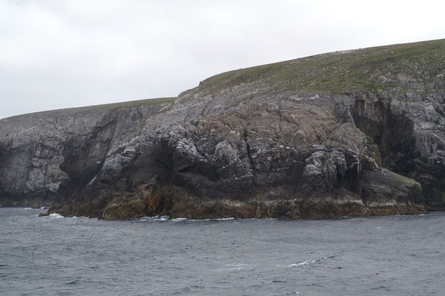
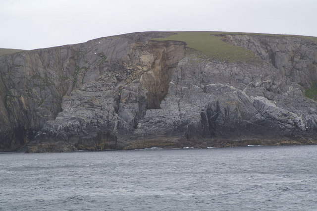
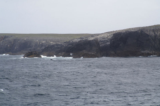
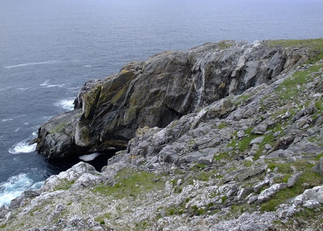
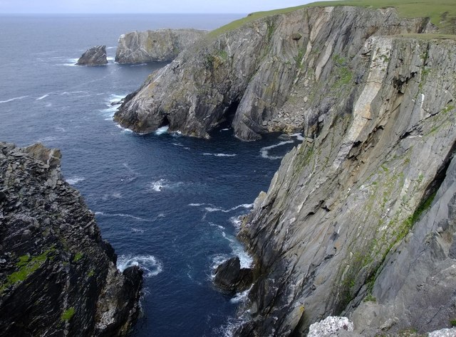
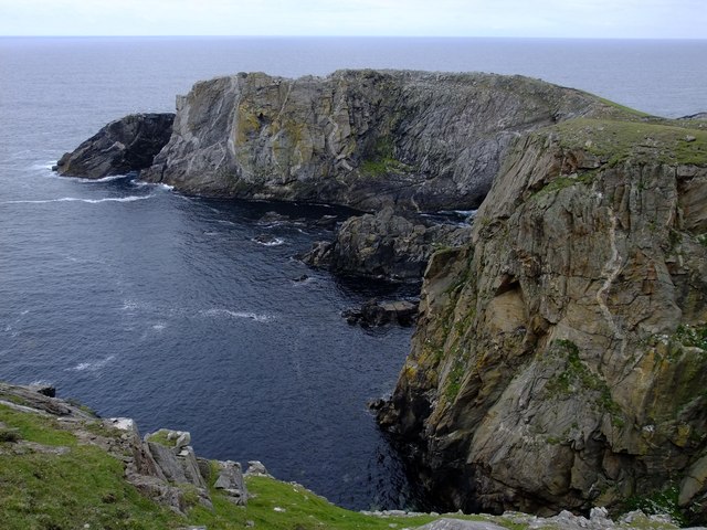
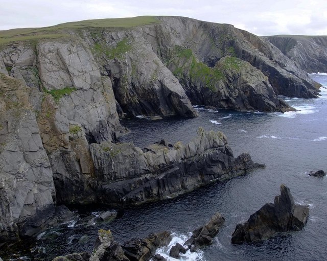
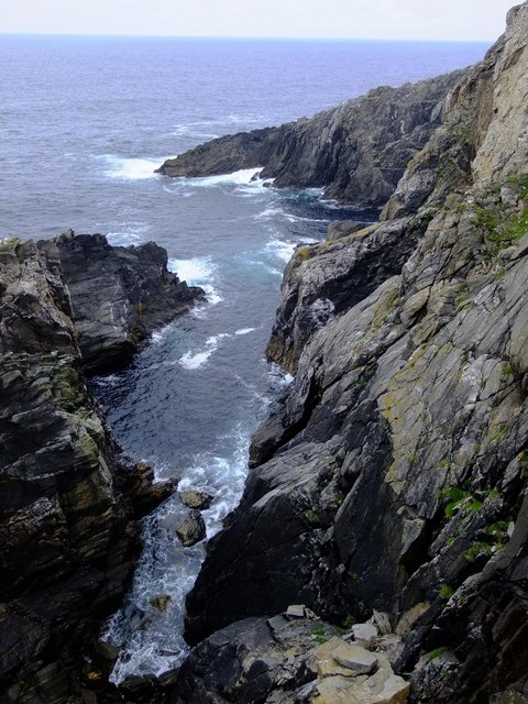
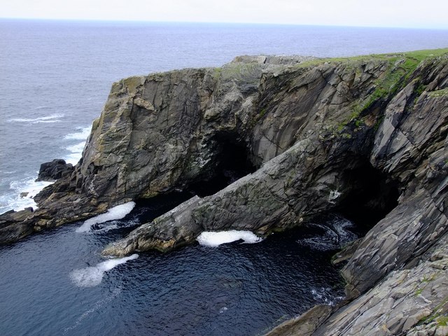
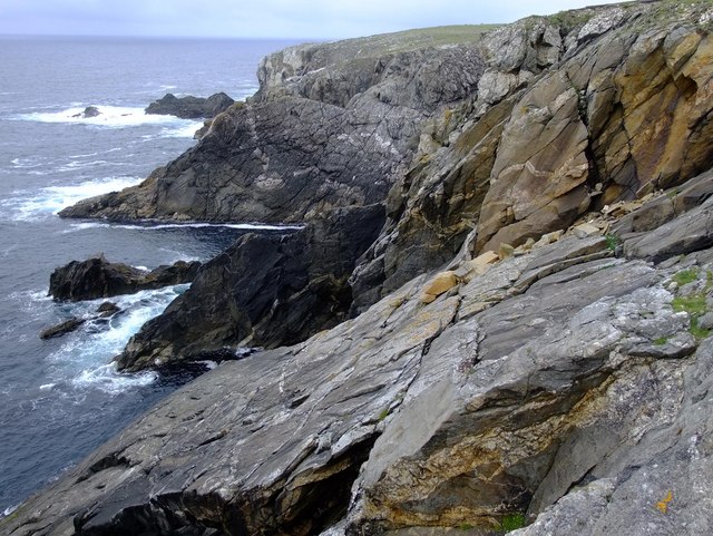
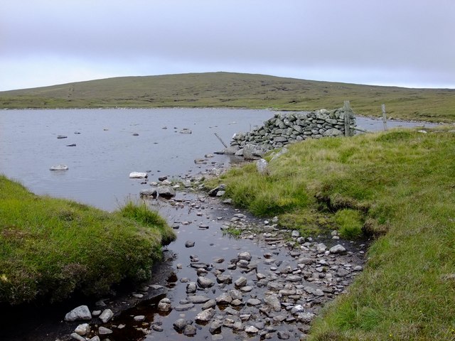
Geo of Markamouth is a prominent coastal feature located in the Shetland Islands, Scotland. It is a headland that extends into the North Sea, forming a distinctive and recognizable point. The geo, a term used in Shetland to describe a narrow, steep-sided inlet, is characterized by its rugged and dramatic landscape.
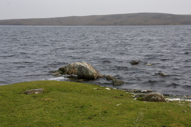
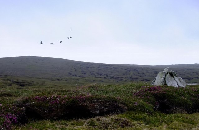
Situated in the southwestern part of the Shetland Mainland, Geo of Markamouth offers breathtaking views of the surrounding cliffs and sea. Its towering cliffs, reaching heights of up to 100 meters, provide a nesting ground for various seabirds such as fulmars, kittiwakes, and guillemots. The area is also home to a diverse range of marine life, including seals and otters.
The striking geological formations found at Geo of Markamouth tell the story of its ancient origins. The cliffs are composed of layers of sedimentary rock, showcasing the region's geological history over millions of years. The constant pounding of the waves against the cliffs has shaped the landscape and created sea caves and arches along the coastline.
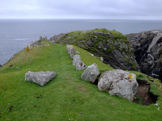
Access to Geo of Markamouth is possible via a footpath that winds its way along the cliffs, offering visitors a chance to explore the area and appreciate its natural beauty. The location is popular among hikers, birdwatchers, and nature enthusiasts who are drawn to its unspoiled and wild surroundings.
Overall, Geo of Markamouth is a remarkable coastal feature and headland in the Shetland Islands. Its stunning cliffs, diverse wildlife, and geological significance make it a must-visit destination for those seeking a unique and awe-inspiring coastal experience.
If you have any feedback on the listing, please let us know in the comments section below.
Geo of Markamouth Images
Images are sourced within 2km of 60.695696/-1.1295618 or Grid Reference HP4701. Thanks to Geograph Open Source API. All images are credited.
Geo of Markamouth is located at Grid Ref: HP4701 (Lat: 60.695696, Lng: -1.1295618)
Unitary Authority: Shetland Islands
Police Authority: Highlands and Islands
What 3 Words
///claps.flushed.plantings. Near Gutcher, Shetland Islands
Nearby Locations
Related Wikis

Gloup
Note: Gloup is common in Scottish placenames referring to a sea jet. Gloup is a village in the far north of the island of Yell in the Shetland Islands...

Ern Stack
Ern Stack is a sea stack off Yell, in Shetland, Scotland. The word "ern" means an eagle (it is a cognate of, for example, Swedish "örn"), and it is said...

Gloup Holm
Gloup Holm is an islet in the Shetland Islands, lying to the north of Yell. == Geography and geology == Gloup Holm is near to the part of Yell called North...

Cullivoe
Cullivoe (Old Norse: Kollavágr - Bay of Kolli), is a village on Yell in the Shetland Islands. It is in the north east of the island, near Bluemull Sound...

Gutcher
Gutcher is a settlement on the northeast coast of Yell in the Shetland islands. From here, rollon/roll off ferry services to Belmont on Unst and Hamars...

North Isles
The North Isles are the northern islands of the Shetland Islands, Scotland. The main islands in the group are Yell, Unst and Fetlar. Sometimes the islands...

Bluemull Sound
Bluemull Sound is the strait between Unst and Yell in Shetland's North Isles. A ferry service crosses it regularly. Cullivoe is on the Yell side, and the...
Yell, Shetland
Yell (Scots: Yell) is one of the North Isles of Shetland, Scotland. In the 2011 census it had a usually resident population of 966. It is the second largest...
Have you been to Geo of Markamouth?
Leave your review of Geo of Markamouth below (or comments, questions and feedback).