Lower Elkstone
Settlement in Staffordshire Staffordshire Moorlands
England
Lower Elkstone
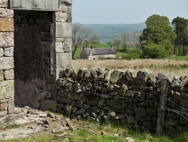
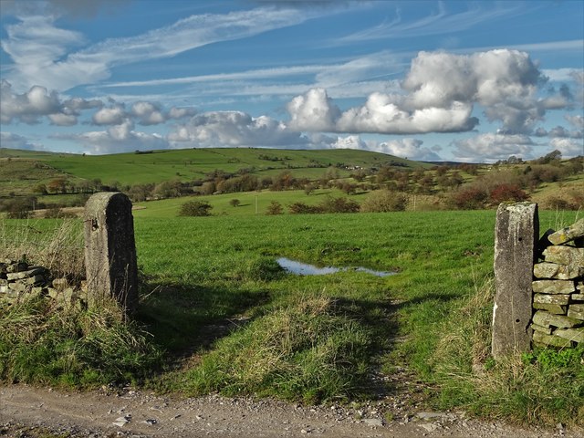
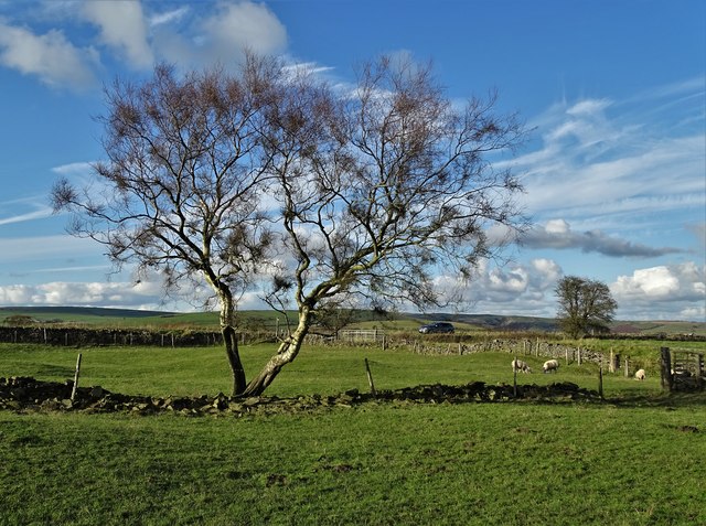
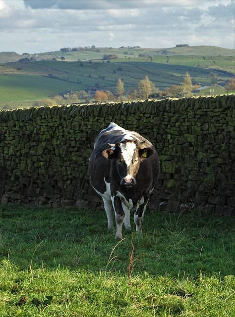
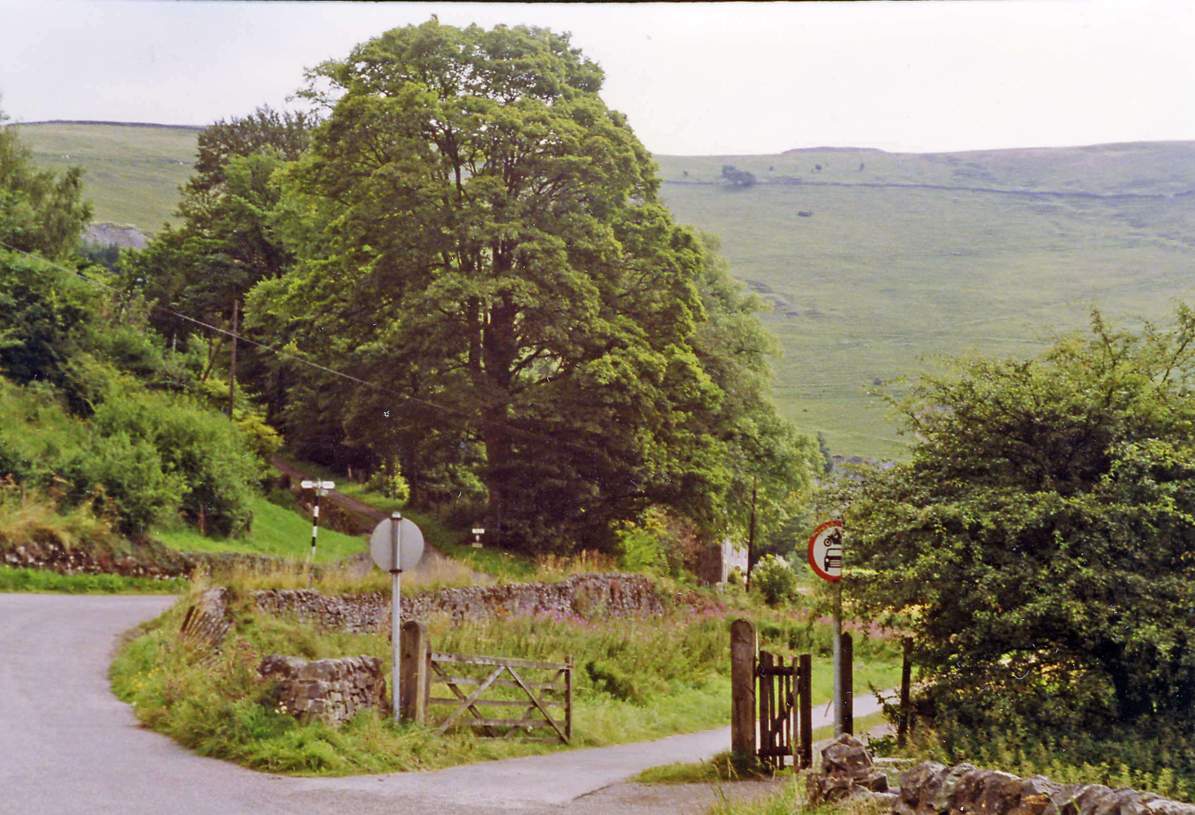
Lower Elkstone is a small rural village located in the county of Staffordshire, England. Situated in the Staffordshire Moorlands district, it lies within the Peak District National Park, known for its picturesque landscapes and outdoor recreational opportunities. The village is nestled in the stunning scenery of the Peak District, surrounded by rolling hills, lush green fields, and scenic walking trails.
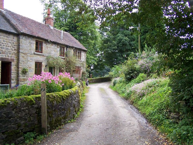
Lower Elkstone is a tranquil and idyllic village, known for its peaceful atmosphere and close-knit community. The village consists of a small number of traditional stone houses and cottages, giving it a charming and quaint character. The local architecture reflects the area's rich history, with some buildings dating back several centuries.
The village is primarily residential, with a small population of friendly and welcoming residents. There are no shops or amenities within Lower Elkstone itself, but the nearby towns of Leek and Buxton provide all the necessary facilities and services. The villagers often rely on these neighboring towns for their daily needs.
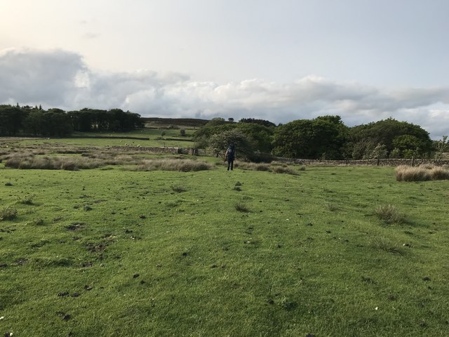
Lower Elkstone offers a range of outdoor activities and attractions for nature enthusiasts. The surrounding countryside provides ample opportunities for hiking, cycling, and horseback riding. The village is also close to several notable landmarks, such as the Roaches, a popular rock formation, and the Tittesworth Reservoir, which offers water-based activities and bird-watching.
Overall, Lower Elkstone is a charming and picturesque village, perfect for those seeking a peaceful and rural lifestyle, surrounded by the stunning beauty of the Peak District National Park.
If you have any feedback on the listing, please let us know in the comments section below.
Lower Elkstone Images
Images are sourced within 2km of 53.120651/-1.905531 or Grid Reference SK0658. Thanks to Geograph Open Source API. All images are credited.


Lower Elkstone is located at Grid Ref: SK0658 (Lat: 53.120651, Lng: -1.905531)
Administrative County: Staffordshire
District: Staffordshire Moorlands
Police Authority: Staffordshire
What 3 Words
///ascendant.manuals.closet. Near Leek, Staffordshire
Nearby Locations
Related Wikis

Elkstones
Elkstones is a small hamlet in the parish of Warslow and Elkstones, consisting of Upper Elkstone and Lower Elkstone. Situated high in the Staffordshire...
Warslow and Elkstones
Warslow and Elkstones is a civil parish in the district of Staffordshire Moorlands in north-east Staffordshire, England. It includes the village of Warslow...

Butterton
Butterton is a small village in the Staffordshire Peak District of England (grid reference SK075565). It overlooks the Manifold Valley and Ecton Hill,...

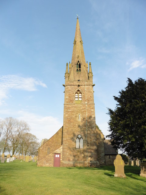
St Bartholomew's Church, Butterton
St Bartholomew's Church, Butterton is a Grade II listed parish church in the Church of England in Butterton. == History == St Bartholomew's Church was...

Warslow
Warslow is a small village in Staffordshire, England. It is located in the Peak District National Park about 10 miles (16 km) north of Ashbourne. Although...
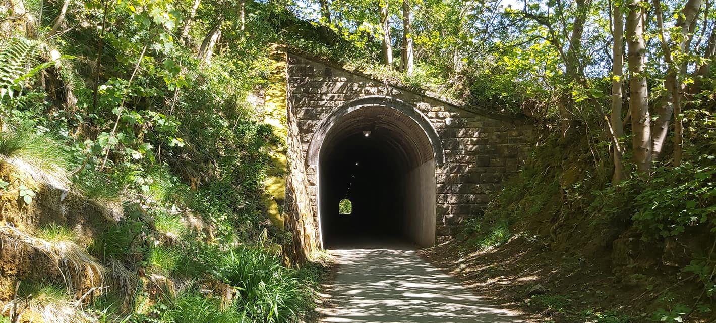
Swainsley Tunnel
Swainsley Tunnel is a tunnel on the route of the former Leek and Manifold Light Railway, which connected the market town of Leek with Hulme End, via Waterhouses...
Butterton railway station
Butterton railway station was a station on the Leek and Manifold Light Railway. It served the village of Butterton in Staffordshire. The site is now part...
Ecton railway station
Ecton railway station was a station on the Leek and Manifold Light Railway. It served the hamlet of Ecton, Staffordshire. Today, the site is now part of...
Nearby Amenities
Located within 500m of 53.120651,-1.905531Have you been to Lower Elkstone?
Leave your review of Lower Elkstone below (or comments, questions and feedback).