Beauclerc

Settlement in Northumberland

England

Beauclerc

Stile between Hemmels Fell and East Woodhouse Fell
Stile between Hemmels Fell and East Woodhouse Fell Credit: Clive Nicholson

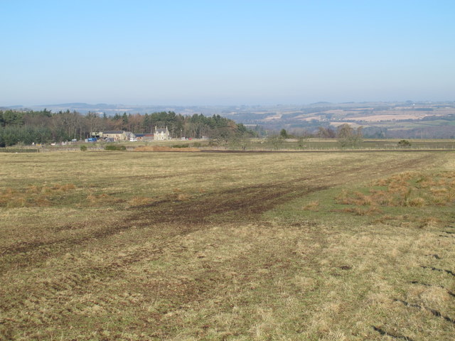
Beauclerc is a small village located in the county of Northumberland, in the northeast of England. Situated near the River Aln, it is approximately 9 miles south of the market town of Alnwick and 40 miles north of Newcastle upon Tyne.

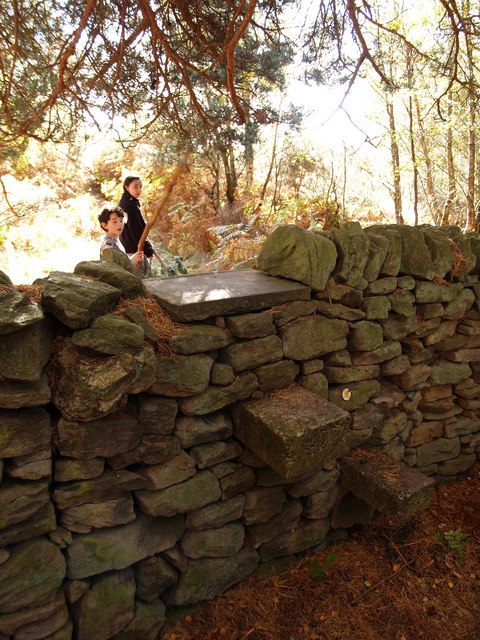
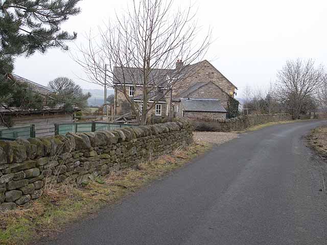
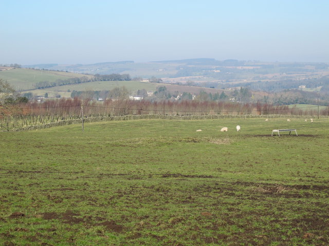
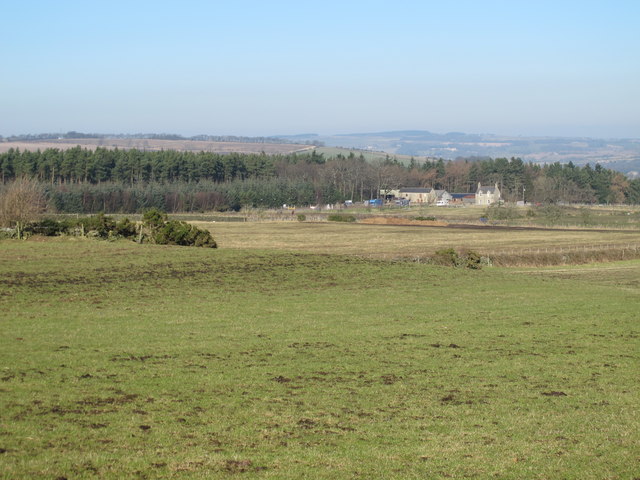
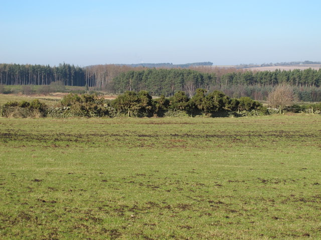
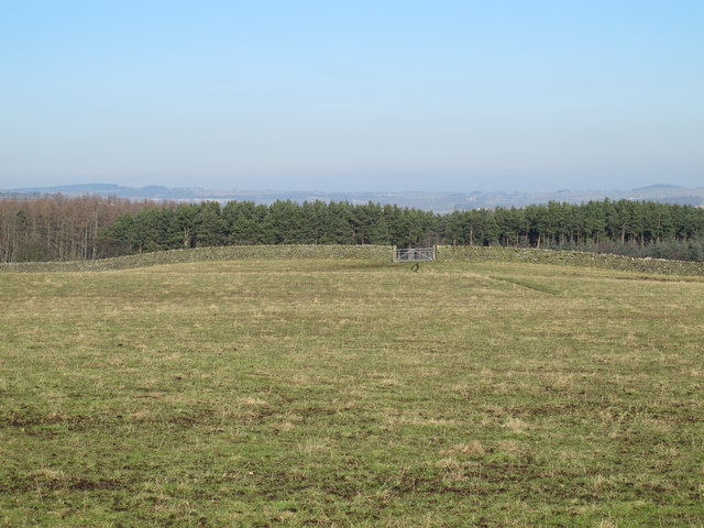
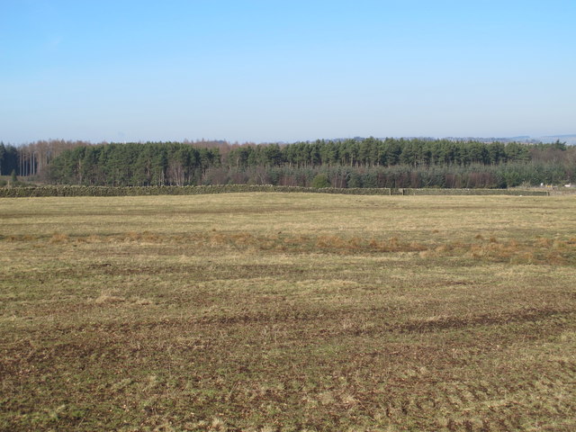
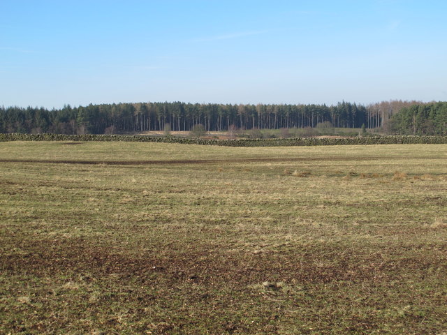
The village is known for its picturesque setting, surrounded by rolling countryside and offering stunning views of the Northumberland National Park. Beauclerc is characterized by its charming stone houses, some of which date back to the 18th century, adding a sense of history and character to the area.

Despite its small size, Beauclerc offers a range of amenities to its residents. These include a community center, a village hall, and a local pub, which serves as a social hub for the community. The village also benefits from being within easy reach of Alnwick, where residents can access a wider range of services, including schools, supermarkets, and healthcare facilities.

The natural beauty of the surrounding area provides ample opportunities for outdoor activities. Residents and visitors can explore the nearby Northumberland National Park, which offers hiking trails, cycling routes, and scenic picnic spots. The River Aln is also popular for fishing and canoeing enthusiasts.

Overall, Beauclerc is a delightful village that attracts those seeking a peaceful and rural lifestyle, while still offering access to essential amenities and the stunning Northumberland landscape.

If you have any feedback on the listing, please let us know in the comments section below.

Beauclerc Images

Images are sourced within 2km of 54.949343/-1.988568 or Grid Reference NZ0061. Thanks to Geograph Open Source API. All images are credited.

Stile between Hemmels Fell and East Woodhouse Fell
Broomley Wood House This modern house has obviously gone up in the world - probably completely rebuilt from the original house on the site which was named "Broomley Pit House".
Broomley Wood House
This modern house has obviously gone up in the world - probably completely rebuilt from the original house on the site which was named "Broomley Pit House".
Platform 1 at Riding Mill Station
Newcastle and Carlisle Railway At Riding Mill Station
Newcastle and Carlisle Railway
At Riding Mill Station
Farmland north of Riding Mill
Broomleyfell Plantation
Farmland west of Broomley Pit House
Farmland south of High Plains
Farmland south of Helister's Wood
Farmland and woodland near High Plains
Farmland south of Helister's Wood
Farmland south of High Plains
Farmland between Broomley Pit House and High Plains
Farmland southeast of Helister's Wood
Farmland south of High Plains
Farmland west of Broomley Pit House
Grazing, Riding Mill
The stripey bikes of Riding Mill (1) The village of Riding Mill has hung out the flags in anticipation of the fifth stage of the Tour of Britain which is due to pass through the village on 10th September 2015. The practice of installing  yellow bicycles along the route appears to have its origin in the British stages of the Tour de France in 2014. Here, the one departure from the norm is that the bikes in Riding Mill (and also in Haydon Bridge) are not pure yellow but painted in red and yellow stripes, those being the colours of the Northumberland flag. Another discrepancy is that the display of flags and banners at the western end of Riding Mill are facing  west - away from the direction of travel of the Tour.
The stripey bikes of Riding Mill (1)
The village of Riding Mill has hung out the flags in anticipation of the fifth stage of the Tour of Britain which is due to pass through the village on 10th September 2015. The practice of installing yellow bicycles along the route appears to have its origin in the British stages of the Tour de France in 2014. Here, the one departure from the norm is that the bikes in Riding Mill (and also in Haydon Bridge) are not pure yellow but painted in red and yellow stripes, those being the colours of the Northumberland flag. Another discrepancy is that the display of flags and banners at the western end of Riding Mill are facing west - away from the direction of travel of the Tour.
Show me another place!

Beauclerc is located at Grid Ref: NZ0061 (Lat: 54.949343, Lng: -1.988568)

Unitary Authority: Northumberland

Police Authority: Northumbria

What 3 Words

///starlight.voting.pavement. Near Corbridge, Northumberland

Nearby Locations

Riding Lea Beauclerc

Related Wikis

Beauclerc

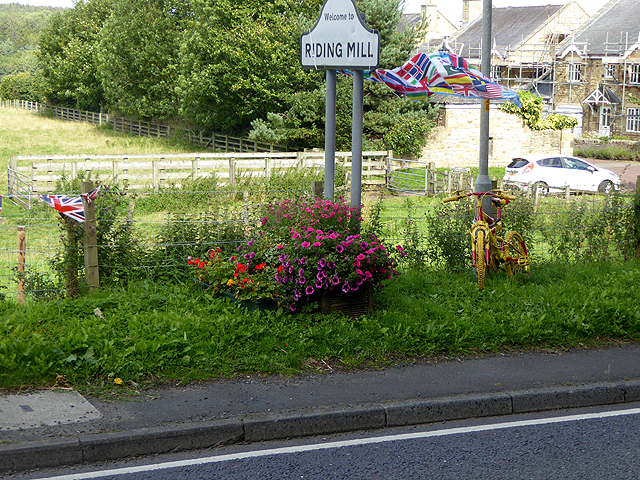
Beauclerc is a small village in Northumberland, England. It is situated to the west of Riding Mill, between Hexham and Newcastle upon Tyne. == Governance... ==

Broomhaugh

Broomhaugh is a village and former civil parish, now in the parish of Broomhaugh and Riding, in Northumberland, in England. It is situated between Hexham...

Riding Mill

Riding Mill is a village near Hexham in Northumberland, England. It is part of the civil parish of Broomhaugh and Riding. It is served by Riding Mill railway...

Broomhaugh and Riding

Broomhaugh and Riding is a civil parish in Northumberland, England. It includes the villages of Broomhaugh and Riding Mill. According to the 2001 census...

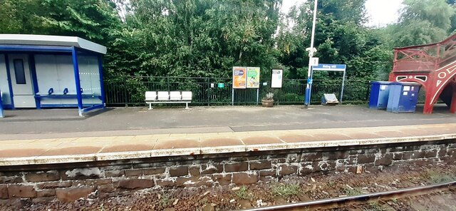
Riding Mill railway station

Riding Mill is a railway station on the Tyne Valley Line, which runs between Newcastle and Carlisle via Hexham. The station, situated 16 miles 71 chains...

Styford Bridge

Styford Bridge is a modern concrete bridge carrying the A68 road across the River Tyne east of Riding Mill, Northumberland, England and forms part of the...

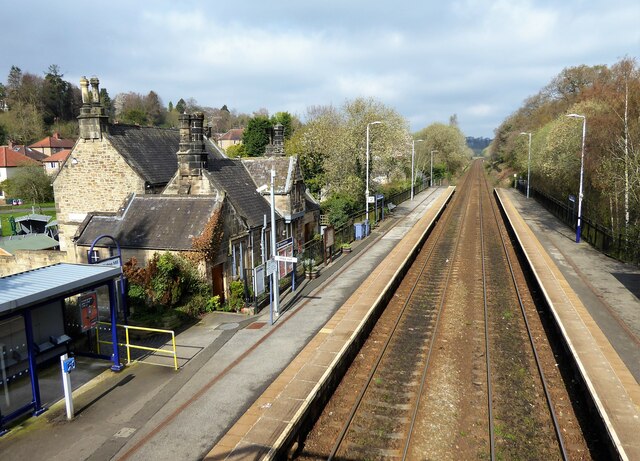
Corbridge railway station

Corbridge is a railway station on the Tyne Valley Line, which runs between Newcastle and Carlisle via Hexham. The station, situated 19 miles 15 chains...

Broomley

Broomley is a village in the civil parish of Stocksfield, in Northumberland, England. It is situated between Hexham and Newcastle upon Tyne, to the south...

Nearby Amenities

Located within 500m of 54.949343,-1.988568
Post Box
Ref: NE44 170
Lat/Long: 54.9483071/-1.9935417
Bus Stop
Riding Mill, Riding Grange
Bus: yes
Departures Board: timetable
Public Transport: platform
Lat/Long: 54.9502667/-1.9813535
Bus Stop
Bench: yes
Bus: yes
Public Transport: platform
Shelter: yes
Lat/Long: 54.9502143/-1.9818256
Beauclerec
Place: hamlet
Wikidata: Q4877435
Wikipedia: en:Beauclerc
Lat/Long: 54.9500689/-1.989396
Power: pole
Lat/Long: 54.9449331/-1.9872111
Power: pole
Lat/Long: 54.949312/-1.9954777
Power: pole
Lat/Long: 54.9488375/-1.994378
Power: pole
Lat/Long: 54.9483561/-1.9933225
Power: pole
Lat/Long: 54.9477677/-1.9922966
Power: pole
Lat/Long: 54.9471322/-1.9911996
Power: pole
Lat/Long: 54.9464902/-1.9900931
Power: pole
Lat/Long: 54.9459037/-1.989086
Power: pole
Lat/Long: 54.9453275/-1.9881043
Generator Method: photovoltaic
Generator Output Electricity: yes
Generator Source: solar
Generator Type: solar_photovoltaic_panel
Location: roof
Power: generator
Lat/Long: 54.9495365/-1.9809388
The data included in this document is from www.openstreetmap.org. The data is made available under ODbL.

Have you been to Beauclerc?

Leave your review of Beauclerc below (or comments, questions and feedback).