Beauchief

Settlement in Derbyshire

England

Beauchief

Track near Bowshaw farm. The Dronfield 2000 rotary walk.
Track near Bowshaw farm. Credit: steven ruffles

Beauchief is a small suburb located in the southern part of Sheffield, South Yorkshire, England. It is situated within the boundaries of the historic county of Derbyshire. The name "Beauchief" is derived from the Old French words "beau" meaning beautiful and "chief" meaning head or summit, which accurately describes the area's picturesque surroundings.

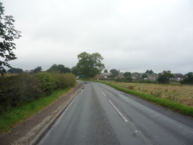
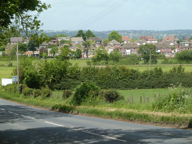
The suburb is predominantly residential, with a mix of housing styles ranging from traditional stone-built cottages to modern developments. The community is known for its peaceful atmosphere and close-knit community spirit. The area offers a range of amenities, including local shops, schools, and recreational facilities, making it a popular choice for families.

One of the main attractions in Beauchief is Beauchief Abbey, a picturesque medieval ruin nestled in a tranquil parkland setting. The abbey was founded in the 12th century and was once a flourishing religious establishment. Today, visitors can explore the remains of the abbey, including the impressive arches and columns that still stand.

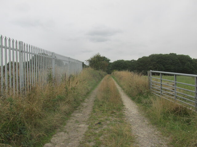
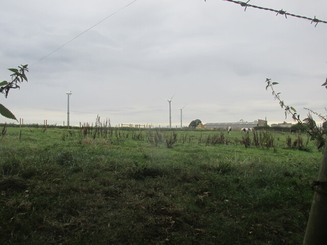
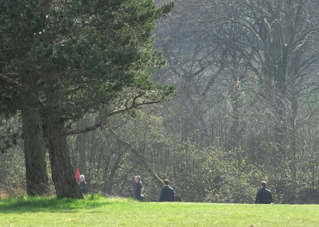
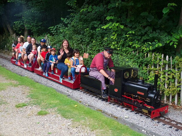
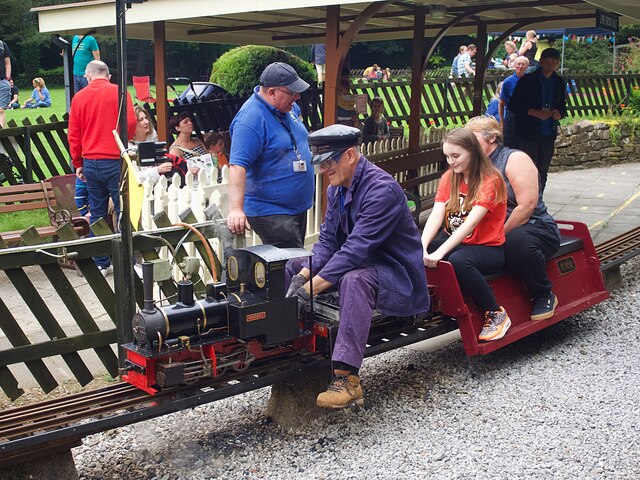
The suburb is also known for its natural beauty, with ample green spaces and parks for residents to enjoy. Beauchief Park is a popular spot for leisure activities, offering expansive playing fields, a children's playground, and scenic walking paths.

Overall, Beauchief is a charming and peaceful suburb that offers a mix of historical landmarks, natural beauty, and a strong sense of community.

If you have any feedback on the listing, please let us know in the comments section below.

Beauchief Images

Images are sourced within 2km of 53.330712/-1.502195 or Grid Reference SK3381. Thanks to Geograph Open Source API. All images are credited.

Track near Bowshaw farm. The Dronfield 2000 rotary walk.
Track near Bowshaw farm.
The Dronfield 2000 rotary walk.
Upper Birchitt farm and wind turbines. Along the Dronfield 2000 rotary walk.
Upper Birchitt farm and wind turbines.
Along the Dronfield 2000 rotary walk.
Rod Moor Road (B6054) Heading north west towards Sheffield.
Rod Moor Road (B6054)
Heading north west towards Sheffield.
Calf at Border View Farm
Border View Farm shop and Cow Shed Cafe
Dore & Totley Golf Course at peace Golf banned during the coronavirus crisis
Dore & Totley Golf Course at peace
Golf banned during the coronavirus crisis
Fields by Rod Moor Road and view to Bradway The road (the B6054) and fields are in Derbyshire and in the square, the houses are in South Yorkshire in the next square north.
Fields by Rod Moor Road and view to Bradway
The road (the B6054) and fields are in Derbyshire and in the square, the houses are in South Yorkshire in the next square north.
Track and gateway at the edge of the golf course The golf course is called the Dore and Totley golof club, although those places seem a fair distance away. This is the track from Bowshaw.
Track and gateway at the edge of the golf course
The golf course is called the Dore and Totley golof club, although those places seem a fair distance away. This is the track from Bowshaw.
Entrance to Border View Farm The entrance is in Dronfield parish, Derbyshire, East Midlands. The houses in the background are in Bradway, Sheffield, South Yorkshire.

Border View Farm, and Bradway Grange Farm on the same side road, have diversified. Horse riding, stabling, farm shop.
Entrance to Border View Farm
The entrance is in Dronfield parish, Derbyshire, East Midlands. The houses in the background are in Bradway, Sheffield, South Yorkshire. Border View Farm, and Bradway Grange Farm on the same side road, have diversified. Horse riding, stabling, farm shop.
Dore and Totley golf course This section of the course has good views towards houses at the northern edge of Dronfield.
Dore and Totley golf course
This section of the course has good views towards houses at the northern edge of Dronfield.
Dore and Totley Golf Course
Signpost near Bowshaw Farm On the edge of Dore and Totley Golf Course
Signpost near Bowshaw Farm
On the edge of Dore and Totley Golf Course
parkrun: it's good to be back parkrun returned to England on 24th July, 2021 after a gap of 16 months during the Covid-19 restrictions but the return was delayed until 31st July at Millhouses Park because of another event there the previous week. 

207 runners, joggers and walkers are here setting off on the first of three laps on this 5k route at Millhouses Park.
parkrun: it's good to be back
parkrun returned to England on 24th July, 2021 after a gap of 16 months during the Covid-19 restrictions but the return was delayed until 31st July at Millhouses Park because of another event there the previous week. 207 runners, joggers and walkers are here setting off on the first of three laps on this 5k route at Millhouses Park.
Knee Deep Creek Mining Company locomotive 'Ella' Hauling passengers on one of the regular open days of the Sheffield & District Society of Model & Experimental Engineers at the Abbeydale Miniature Railway. 'Ella' was built in 1991 and is one of the society's oldest locos.
Knee Deep Creek Mining Company locomotive 'Ella'
Hauling passengers on one of the regular open days of the Sheffield & District Society of Model & Experimental Engineers at the Abbeydale Miniature Railway. 'Ella' was built in 1991 and is one of the society's oldest locos.
Abbeydale South signal box Viewed from the platform at Abbeydale Station on the Abbeydale Miniature Railway
Abbeydale South signal box
Viewed from the platform at Abbeydale Station on the Abbeydale Miniature Railway
Edward (a Red Engine) Hauling passengers on one of the regular open days of the Sheffield & District Society of Model & Experimental Engineers at the Abbeydale Miniature Railway.
Edward (a Red Engine)
Hauling passengers on one of the regular open days of the Sheffield & District Society of Model & Experimental Engineers at the Abbeydale Miniature Railway.
Lady Joan Hauling passengers on one of the regular open days of the Sheffield & District Society of Model & Experimental Engineers at the Abbeydale Miniature Railway.
Lady Joan
Hauling passengers on one of the regular open days of the Sheffield & District Society of Model & Experimental Engineers at the Abbeydale Miniature Railway.
Miniature locomotive 'Magnet' Hauling passengers on one of the regular open days of the Sheffield & District Society of Model & Experimental Engineers at the Abbeydale Miniature Railway.
Miniature locomotive 'Magnet'
Hauling passengers on one of the regular open days of the Sheffield & District Society of Model & Experimental Engineers at the Abbeydale Miniature Railway.
Show me another place!

Beauchief is located at Grid Ref: SK3381 (Lat: 53.330712, Lng: -1.502195)

Unitary Authority: Sheffield

Police Authority: South Yorkshire

What 3 Words

///cure.snow.enhancement. Near Dronfield, Derbyshire

Related Wikis

Beauchief Abbey

Beauchief Abbey is a medieval monastic house now serving as a parish church in the southern suburbs of Sheffield, England. == History == The abbey was...

Beauchief railway station

Beauchief railway station (pronounced Beechif) was in Sheffield, South Yorkshire, England. It was built by the Midland Railway in 1870 and was designed...

Abbeydale Industrial Hamlet

Abbeydale Industrial Hamlet is an industrial museum in the south of the City of Sheffield, England. The museum forms part of a former steel-working site...
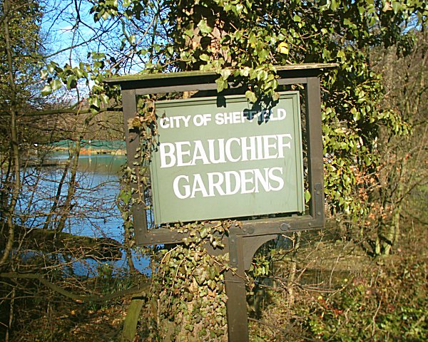
Beauchief Gardens

Beauchief Gardens is a small area of formal parkland in south-west Sheffield. The gardens lie between Abbeydale Road South to the north-west, the River...

Beauchief and Greenhill

Beauchief and Greenhill ward—which includes the districts of Batemoor, Beauchief, Chancet Wood, Greenhill, Jordanthorpe, Lowedges and Meadowhead—is one...

Dore & Totley railway station

Dore & Totley railway station serves the south-western Sheffield suburbs of Dore and Totley in South Yorkshire, England 4+3⁄4 miles (7.6 km) south of Sheffield...

Ecclesall Woods

Ecclesall Woods is an area of woodland in south-west Sheffield, South Yorkshire, England, between Abbeydale Road South and Ecclesall. It covers approximately...

Millhouses Park

Millhouses Park is a public urban park located in the Millhouses neighbourhood in south of Sheffield, England. It is a 12.87-hectare (31.8-acre) park stretching...

Nearby Amenities

Located within 500m of 53.330712,-1.502195
Power: substation
Lat/Long: 53.3349125/-1.5016273
Turning Circle
Source: Bing
Lat/Long: 53.331023/-1.4967847
Fountain
Lat/Long: 53.3295512/-1.5079316
Waterway: weir
Lat/Long: 53.3284597/-1.4973936
Bench
Backrest: no
Lat/Long: 53.3325239/-1.4979928
Bench
Backrest: no
Lat/Long: 53.3327718/-1.4988999
Board Type: history
Information: board
Tourism: information
Lat/Long: 53.3329404/-1.5009427
Bench
Backrest: no
Lat/Long: 53.3321405/-1.5009398
Bench
Backrest: no
Lat/Long: 53.3311967/-1.4981317
Ford: yes
Lat/Long: 53.3288163/-1.5038064
Watering Place
Lat/Long: 53.3288916/-1.5038129
Barrier: stile
Lat/Long: 53.3288818/-1.5037679
Bench
Backrest: no
Lat/Long: 53.3297681/-1.5025178
Bench
Backrest: no
Lat/Long: 53.3282647/-1.5053821
Bench
Backrest: no
Lat/Long: 53.3281865/-1.5050832
Bench
Backrest: no
Lat/Long: 53.3326631/-1.4988947
Bench
Backrest: no
Lat/Long: 53.3305248/-1.5034174
Barrier: stile
Stile: squeezer
Lat/Long: 53.3304165/-1.5096123
Barrier: kissing_gate
Lat/Long: 53.3280153/-1.5051551
Bench
Backrest: no
Lat/Long: 53.3311348/-1.5079072
Grit Bin
Operator: Sheffield City Council
Operator Type: government
Operator Wikidata: Q7492609
Seasonal: no
Lat/Long: 53.3314216/-1.4947573
Building: entrance
Lat/Long: 53.3331917/-1.5009954
The data included in this document is from www.openstreetmap.org. The data is made available under ODbL.

Have you been to Beauchief?

Leave your review of Beauchief below (or comments, questions and feedback).