Nev of Stuis

Coastal Feature, Headland, Point in Shetland

Scotland

Nev of Stuis

Dale of Lumbister
Dale of Lumbister Credit: Mike Pennington

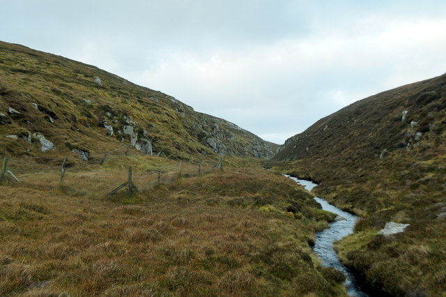
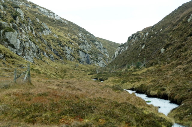
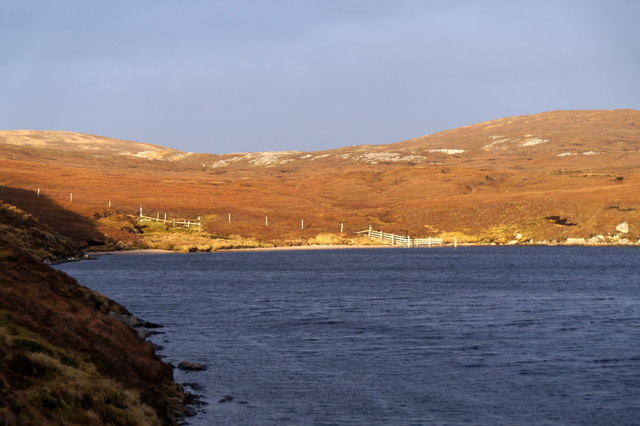
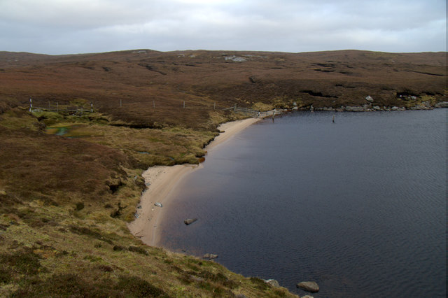
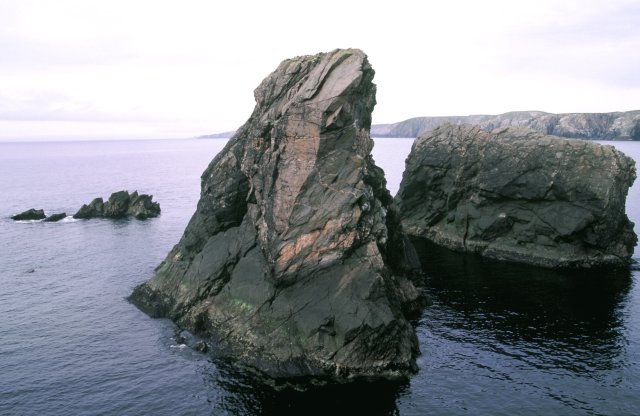
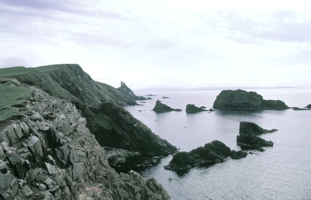
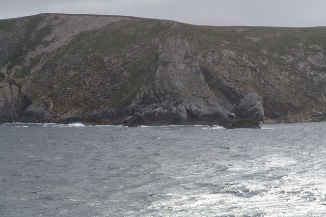
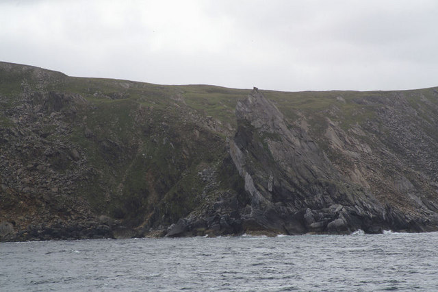
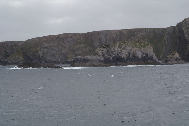
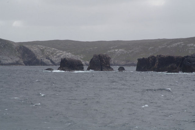
Nev of Stuis is a prominent coastal feature located in the Shetland Islands, Scotland. This headland, also known as a point, is situated on the eastern coast of the islands, specifically on the southeastern tip of the mainland. It is characterized by its rugged cliffs, which are composed mainly of sedimentary rocks such as sandstone and shale.

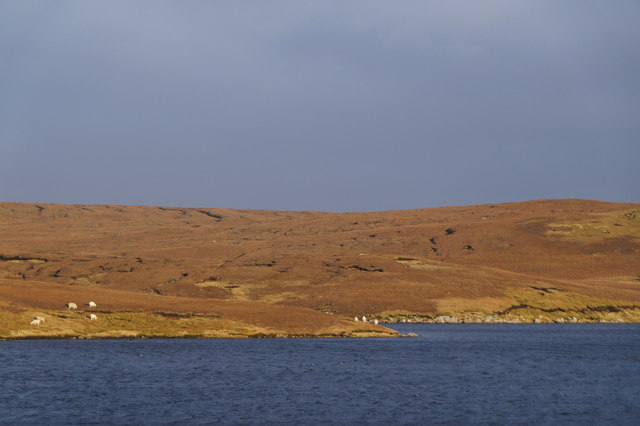
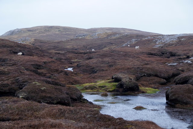
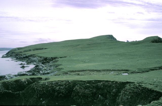
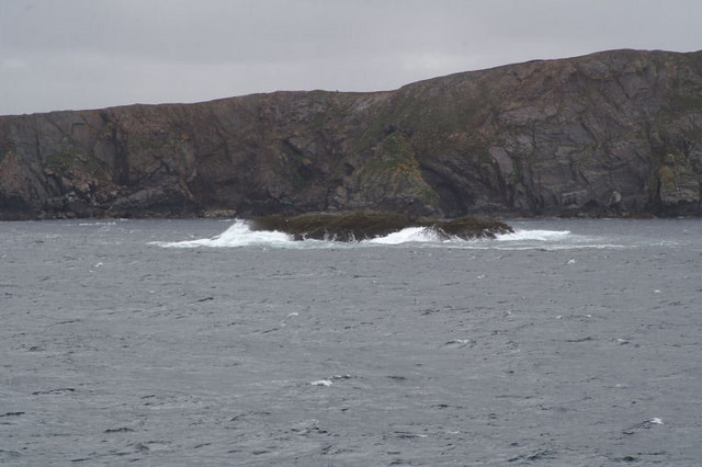
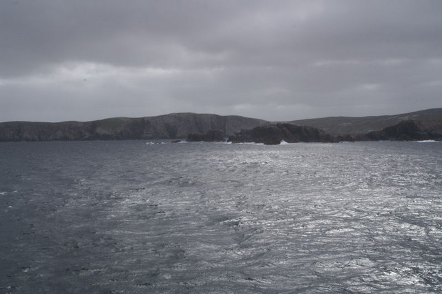
Rising to an elevation of approximately 150 meters (490 feet), Nev of Stuis offers breathtaking views of the surrounding coastal landscape and the North Sea. The headland is known for its dramatic cliffs, which are deeply incised by erosion and display various geological formations. Visitors often marvel at the sheer vertical drop of the cliffs, which provide nesting sites for numerous seabirds, including guillemots, puffins, and kittiwakes.

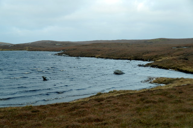
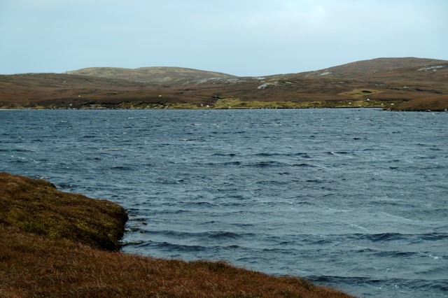
The area surrounding Nev of Stuis is rich in marine life, making it a popular spot for fishing and birdwatching enthusiasts. The coastal waters are teeming with a diverse array of fish, including cod, haddock, and mackerel. Seals and otters can also be spotted in the vicinity, adding to the wildlife spectacle.

Access to Nev of Stuis is relatively easy, with a well-maintained coastal path leading to the headland. This path offers visitors the opportunity to explore the stunning natural beauty of the area and experience the wild and untamed coastline of the Shetland Islands.

Overall, Nev of Stuis is a remarkable coastal feature that showcases the rugged beauty and abundant wildlife of the Shetland Islands. Its towering cliffs, diverse marine life, and breathtaking views make it a must-visit destination for nature enthusiasts and outdoor adventurers.

If you have any feedback on the listing, please let us know in the comments section below.

Nev of Stuis Images

Images are sourced within 2km of 60.657147/-1.1569252 or Grid Reference HU4697. Thanks to Geograph Open Source API. All images are credited.

Dale of Lumbister
Dale of Lumbister
Dale of Lumbister
Dale of Lumbister
The northernmost of the Lochs of Lumbister
Sandy beach on the northernmost of the Lochs of Lumbister
The wilds of Yell north of Lumbister A square with no named features.
The wilds of Yell north of Lumbister
A square with no named features.
Stacks of Stuis The coastline here is littered with loose stacks which provide plenty of nesting opportunities for the birds and resting spots for the seals.
Stacks of Stuis
The coastline here is littered with loose stacks which provide plenty of nesting opportunities for the birds and resting spots for the seals.
Stuis of Graveland This view is looking roughly south from the most northerly point on the headland.
Stuis of Graveland
This view is looking roughly south from the most northerly point on the headland.
Ern Stack A view from the landward side of Ern Stack looking towards the Ramna Stacks
Ern Stack
A view from the landward side of Ern Stack looking towards the Ramna Stacks
Coastline view towards Ern Stack A view along the western coastline of this square.  An image of the pasture in the easterly section of this grid square is available from grid HU4697 <a title="https://www.geograph.org.uk/photo/40051" href="https://www.geograph.org.uk/photo/40051">Link</a> .
Coastline view towards Ern Stack
A view along the western coastline of this square. An image of the pasture in the easterly section of this grid square is available from grid HU4697 Link .
Ern Stack from the sea The extraordinary pale colouration on the landward side is invisible from the sea. Taken from one of the Yell Sound ferries on a North Isles cruise.
Ern Stack from the sea
The extraordinary pale colouration on the landward side is invisible from the sea. Taken from one of the Yell Sound ferries on a North Isles cruise.
Ern Stack from the sea Erne is the old Shetland name for the White-tailed Eagle, and this was the site of one of the last nests of native British sea eagles, last used early in the 20th century. Taken from one of the Yell Sound ferries on a North Isles cruise.
Ern Stack from the sea
Erne is the old Shetland name for the White-tailed Eagle, and this was the site of one of the last nests of native British sea eagles, last used early in the 20th century. Taken from one of the Yell Sound ferries on a North Isles cruise.
Aastack With the north tip of the Graveland peninsula beyond. Taken from one of the Yell Sound ferries on a North Isles cruise.
Aastack
With the north tip of the Graveland peninsula beyond. Taken from one of the Yell Sound ferries on a North Isles cruise.
Skerry off the coast of Graveland This un-named skerry off the north-west coast of Graveland is almost the only land in the square (the 1:25,000 map shows another much smaller rock and proves that the name Segil applies to a coastal feature on the Yell mainland). Taken from one of the Yell Sound ferries on a North Isles cruise.
Skerry off the coast of Graveland
This un-named skerry off the north-west coast of Graveland is almost the only land in the square (the 1:25,000 map shows another much smaller rock and proves that the name Segil applies to a coastal feature on the Yell mainland). Taken from one of the Yell Sound ferries on a North Isles cruise.
The tip of Graveland The very end of the Graveland peninsula, with Lumbister beyond that. Taken from one of the Yell Sound ferries on a North Isles cruise.
The tip of Graveland
The very end of the Graveland peninsula, with Lumbister beyond that. Taken from one of the Yell Sound ferries on a North Isles cruise.
Stacks of Stuis from the sea At the very end of Graveland; Lumbister is beyond. Taken from one of the Yell Sound ferries on a North Isles cruise.
Stacks of Stuis from the sea
At the very end of Graveland; Lumbister is beyond. Taken from one of the Yell Sound ferries on a North Isles cruise.
Show me another place!

Nev of Stuis is located at Grid Ref: HU4697 (Lat: 60.657147, Lng: -1.1569252)

Unitary Authority: Shetland Islands

Police Authority: Highlands and Islands

What 3 Words

///alike.faces.chins. Near Gutcher, Shetland Islands

Related Wikis

Ern Stack

Ern Stack is a sea stack off Yell, in Shetland, Scotland. The word "ern" means an eagle (it is a cognate of, for example, Swedish "örn"), and it is said...

Yell, Shetland

Yell (Scots: Yell) is one of the North Isles of Shetland, Scotland. In the 2011 census it had a usually resident population of 966. It is the second largest...

Basta, Shetland

Basta is a hamlet on the island of Yell in the Shetland islands of Scotland. It is on the shores of Basta Voe and is in the parish of Yell. == References... ==

Gruney

Gruney is a small, uninhabited island in Shetland, Scotland. It lies north of the Northmavine peninsula of the Shetland Mainland, from which it is separated...

Nearby Amenities

Located within 500m of 60.657147,-1.1569252
Easter Tammy's Hole
Place: locality
Lat/Long: 60.6557466/-1.1537743
Gorsendi Geo
Place: locality
Lat/Long: 60.6532088/-1.154463
Stacks of Stuis
Place: locality
Lat/Long: 60.6572442/-1.1524299
Nev of Stuis
Place: locality
Lat/Long: 60.6570772/-1.1570862
Wester Tammy's Hole
Place: locality
Lat/Long: 60.6562465/-1.156936
The data included in this document is from www.openstreetmap.org. The data is made available under ODbL.

Have you been to Nev of Stuis?

Leave your review of Nev of Stuis below (or comments, questions and feedback).