Bed Slide
Coastal Feature, Headland, Point in Durham
England
Bed Slide

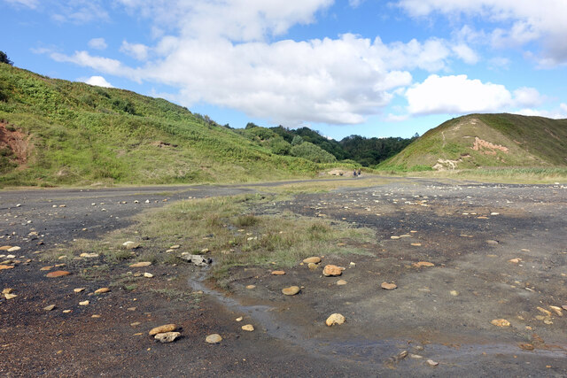
Bed Slide is a prominent coastal feature located in Durham, a county in northeast England. It is classified as a headland, which is a narrow piece of land that extends outwards into the sea. More specifically, Bed Slide is a point, which is a type of headland that is characterized by a sharp, narrow tip.
Situated along the rugged North Sea coastline, Bed Slide offers stunning views of the surrounding landscape and the vast ocean. The headland is composed of a combination of sedimentary rocks, including sandstone and shale, which have been shaped over time by the erosive forces of the sea.
One of the notable features of Bed Slide is its steep cliffs, which rise dramatically from the water's edge. These cliffs are a result of years of erosion caused by the relentless pounding of the waves against the rock face. At high tide, the waves crash against the base of the cliffs, creating a powerful spectacle of nature.
The headland is also home to a diverse range of flora and fauna. The cliffs provide nesting sites for various seabirds, including gulls and cormorants, while the surrounding waters are home to marine life such as seals and dolphins.
Bed Slide is a popular destination for nature enthusiasts and outdoor adventurers. Visitors can explore the headland on foot, following the coastal path that winds its way along the cliff tops. The area is also a haven for rock climbers, who are drawn to the challenging routes and stunning views.
Overall, Bed Slide is a captivating coastal feature that showcases the raw beauty and power of nature. Its towering cliffs, diverse wildlife, and breathtaking vistas make it a must-visit destination for those seeking a true coastal experience in Durham.
If you have any feedback on the listing, please let us know in the comments section below.
Bed Slide Images
Images are sourced within 2km of 54.786811/-1.3099213 or Grid Reference NZ4443. Thanks to Geograph Open Source API. All images are credited.


Bed Slide is located at Grid Ref: NZ4443 (Lat: 54.786811, Lng: -1.3099213)
Unitary Authority: County Durham
Police Authority: Durham
What 3 Words
///rate.ending.chimp. Near Easington Colliery, Co. Durham
Nearby Locations
Related Wikis
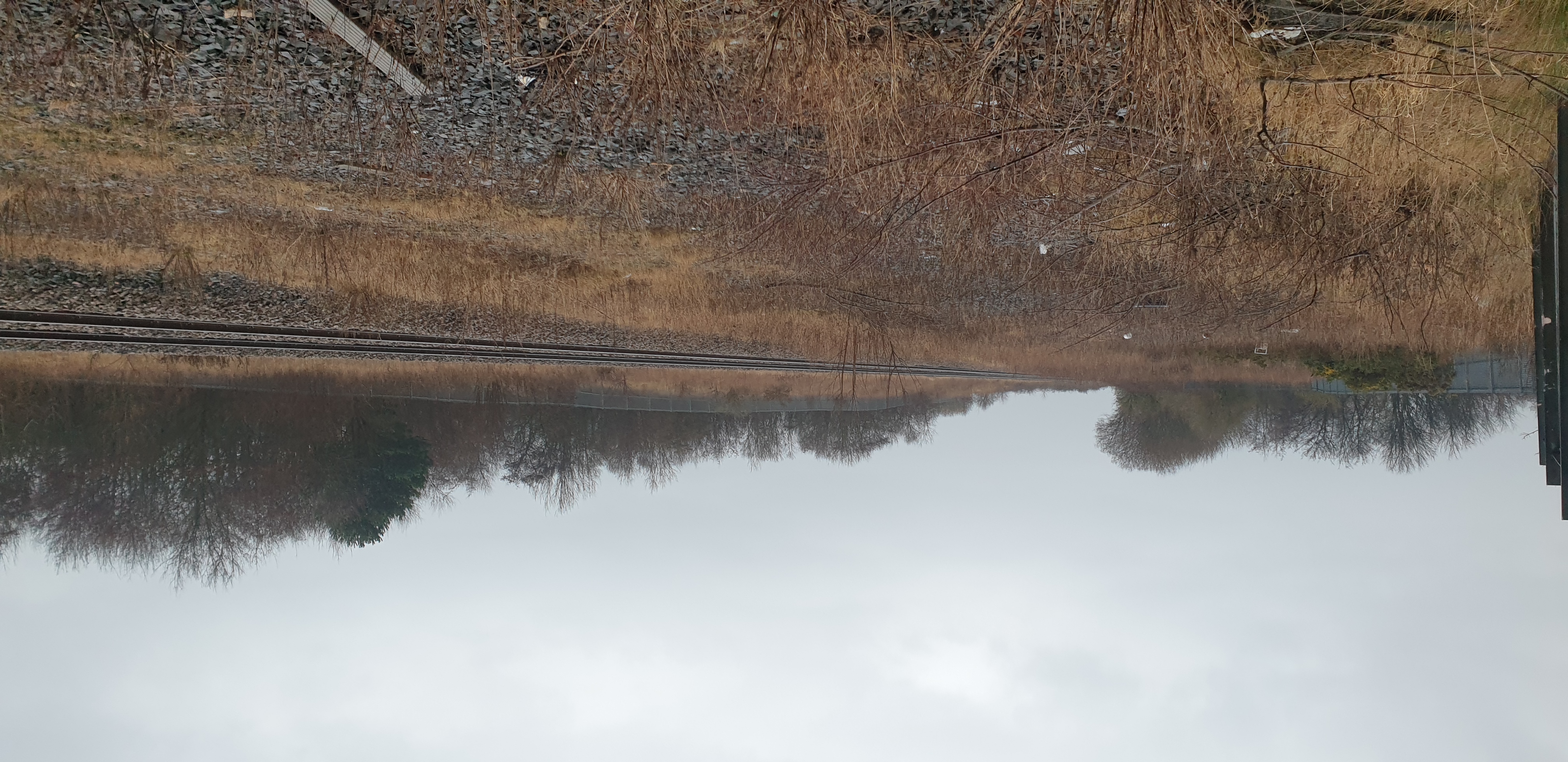
Easington railway station
Easington railway station served the town of Easington Colliery and Easington Village in County Durham, North East England. It was located on the Durham...

Easington Colliery A.F.C.
Easington Colliery Association Football Club is a football club based in Easington Colliery, County Durham, England. They are currently members of the...
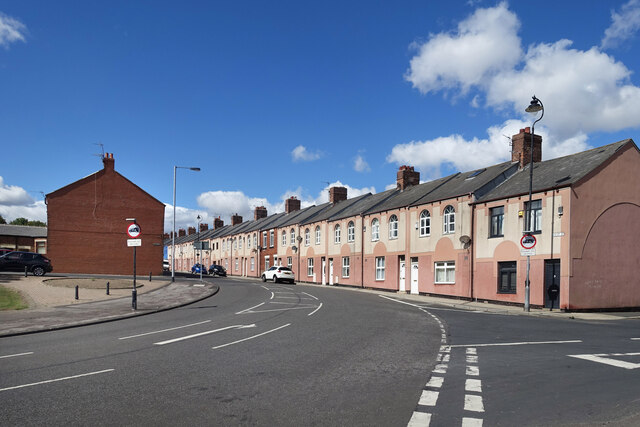
Easington Colliery
Easington Colliery is a town in County Durham, England, known for a history of coal mining. It is situated to the north of Horden, a short distance to...
Hope Wood Academy
54.7898°N 1.3362°W / 54.7898; -1.3362 Hope Wood Academy is an academy based in Easington Colliery, County Durham. The school caters for pupils aged 2...
Nearby Amenities
Located within 500m of 54.786811,-1.3099213Have you been to Bed Slide?
Leave your review of Bed Slide below (or comments, questions and feedback).