Skerry
Coastal Feature, Headland, Point in Shetland
Scotland
Skerry
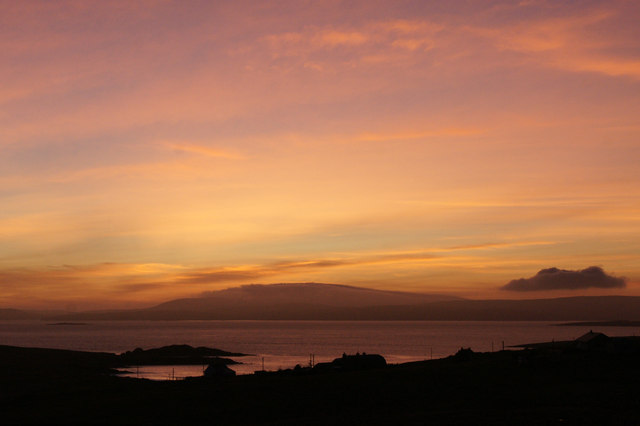
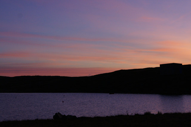
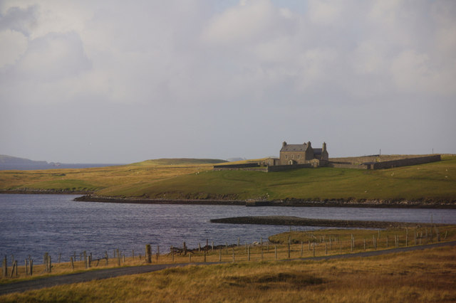
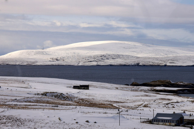
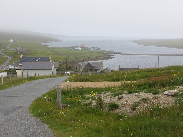
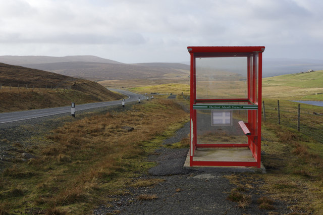
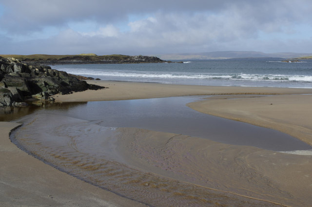
Skerry, Shetland is a prominent coastal feature located in the Shetland Islands, an archipelago situated off the northeastern coast of mainland Scotland. Skerry is a headland that juts out into the North Sea, forming a point that extends into the surrounding waters. This rocky outcrop is known for its rugged beauty and is a popular destination for tourists and nature enthusiasts.
Skerry is characterized by its towering cliffs, which rise dramatically from the sea. The cliffs are composed of hard, resistant rocks, such as granite or gneiss, and are often weathered by the constant battering of waves and strong winds. The relentless forces of erosion have sculpted the cliffs into unique shapes, creating caves, arches, and other geological formations that add to the area's allure.
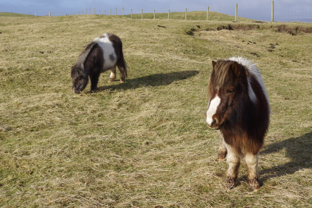
The headland is also home to a diverse range of wildlife, both on land and in the surrounding waters. Seabirds, such as puffins, gannets, and fulmars, can be spotted nesting on the cliffs, while seals and porpoises can often be seen swimming in the waters below. Skerry is also renowned for its rich marine life, with numerous species of fish and shellfish inhabiting the nearby coastal waters.
Access to Skerry is primarily by boat, with several tour operators offering trips to the area. Visitors can enjoy breathtaking views of the rugged coastline, explore the cliffs and caves, and take in the sights and sounds of the abundant wildlife. The wild and untamed beauty of Skerry, Shetland makes it a must-visit destination for those seeking a true coastal adventure.
If you have any feedback on the listing, please let us know in the comments section below.
Skerry Images
Images are sourced within 2km of 60.582205/-1.1939369 or Grid Reference HU4489. Thanks to Geograph Open Source API. All images are credited.


Skerry is located at Grid Ref: HU4489 (Lat: 60.582205, Lng: -1.1939369)
Unitary Authority: Shetland Islands
Police Authority: Highlands and Islands
What 3 Words
///tummy.looms.expose. Near Ulsta, Shetland Islands
Nearby Locations
Related Wikis

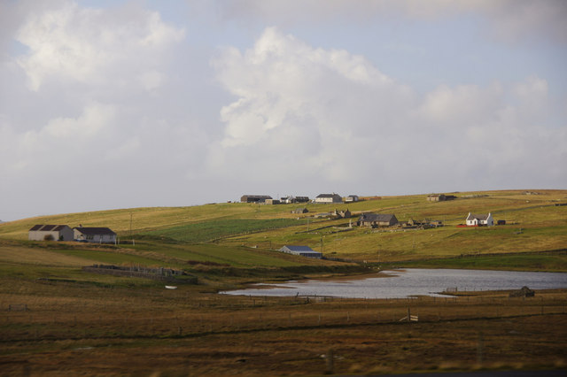
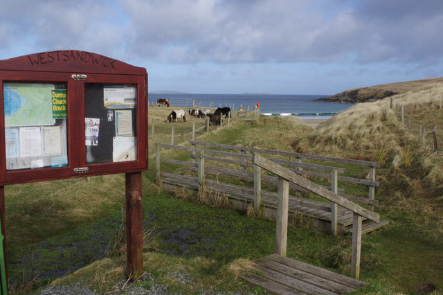
West Sandwick
West Sandwick is a settlement on the island of Yell, Shetland Islands, Scotland. It is one of the few settlements in the west of the island. West Sandwick...

Yell Sound
Yell Sound is the strait running between Yell and Mainland, Shetland, Scotland. It is the boundary between the Mainland and the North Isles and it contains...

Muckle Holm, Yell Sound
Muckle Holm is a small island in Shetland. It is in Yell Sound, near the Northmavine. It is 23 metres (75 ft) at its highest point. There is a lighthouse...

Little Holm, Yell Sound
Little Holm is a small island in Yell Sound, in Shetland, Scotland. It lies between Northmavine and the island of Yell. There is a lighthouse here. In...
Have you been to Skerry?
Leave your review of Skerry below (or comments, questions and feedback).