Geo of Sloga
Coastal Feature, Headland, Point in Shetland
Scotland
Geo of Sloga
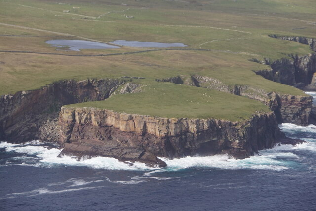
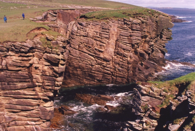
Geo of Sloga is a prominent coastal feature located in the Shetland Islands, an archipelago in Scotland. It is classified as a headland, specifically a point, that juts out into the North Sea.
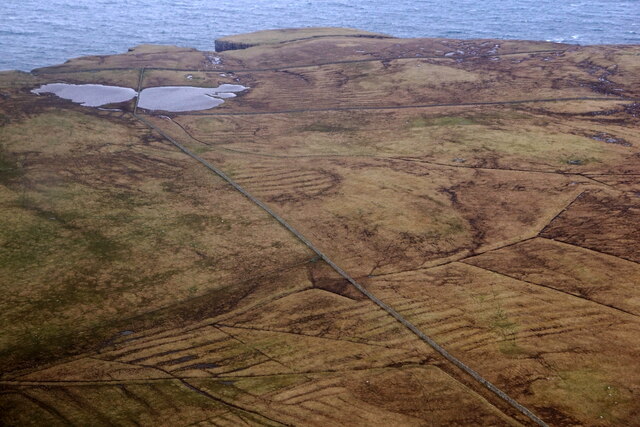
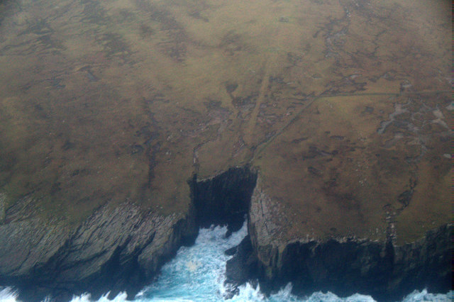
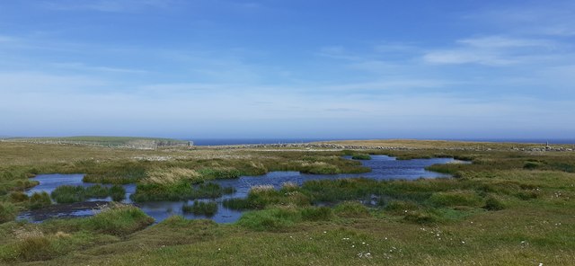
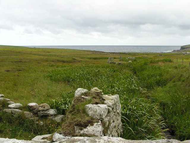
Situated on the west coast of the main island, the Geo of Sloga is characterized by its steep cliffs, which are composed of sedimentary rocks, primarily sandstone and shale. These cliffs rise up to an impressive height, providing a dramatic backdrop against the crashing waves and rugged coastline. The geological formation of the headland is a result of millions of years of erosion by wind and water, shaping the landscape into its present form.
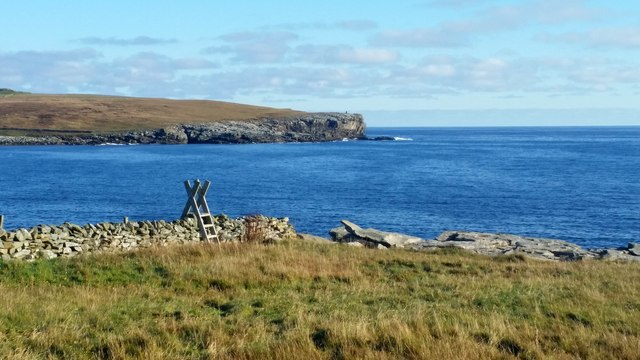
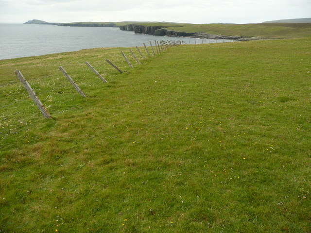
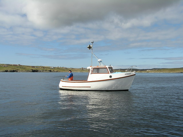
The Geo of Sloga offers breathtaking panoramic views of the surrounding area, including the vast expanse of the North Sea and the nearby islands. It is a popular spot for nature enthusiasts, hikers, and photographers, who flock to the headland to witness its natural beauty and capture stunning vistas.
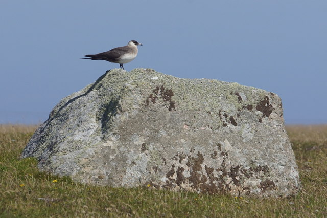
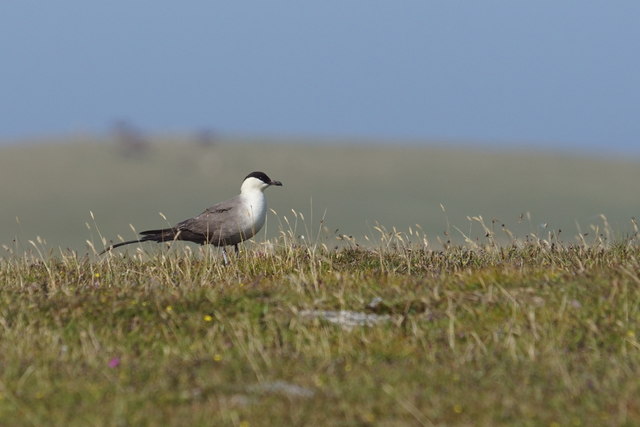
In addition to its scenic appeal, the Geo of Sloga is also home to a diverse range of flora and fauna. The nutrient-rich waters surrounding the headland attract a variety of marine life, including seals, dolphins, and various seabird species. Birdwatchers often visit the area to observe the resident and migratory birds that frequent the cliffs and nearby grasslands.
Overall, the Geo of Sloga is a remarkable coastal feature in the Shetland Islands, offering a unique blend of geological wonders, stunning vistas, and diverse wildlife. It stands as a testament to the raw beauty and power of nature in this remote corner of Scotland.
If you have any feedback on the listing, please let us know in the comments section below.
Geo of Sloga Images
Images are sourced within 2km of 59.919569/-1.2766051 or Grid Reference HU4015. Thanks to Geograph Open Source API. All images are credited.
Geo of Sloga is located at Grid Ref: HU4015 (Lat: 59.919569, Lng: -1.2766051)
Unitary Authority: Shetland Islands
Police Authority: Highlands and Islands
What 3 Words
///comical.hotdog.airfields. Near Sumburgh, Shetland Islands
Related Wikis

Boddam, Shetland
Boddam is a village on the island of Mainland, in Shetland, Scotland. Boddam is an area of Dunrossness in the South Mainland of Shetland. Although Boddam...

Dunrossness
Dunrossness, (Old Norse: Dynrastarnes meaning "headland of the loud tide-race", referring to the noise of Sumburgh Roost) is the southernmost parish of...

Clumlie Broch
Clumlie Broch is an Iron Age broch located on Mainland, Shetland, in Scotland (grid reference HU40451811). == Location == Clumlie Broch is located in Dunrossness...

Exnaboe
Exnaboe, locally referred to as 'bö', is a settlement in the Virkie area of the parish of Dunrossness, South Mainland, Shetland, Scotland, overlooking...

Lochs of Spiggie and Brow
The Lochs of Spiggie and Brow are located west of Boddam in the parish of Dunrossness, in the South Mainland of Shetland, Scotland, about 6 km north of...

Scousburgh
Scousburgh is a small community in the parish of Dunrossness, in the South Mainland of Shetland, Scotland, overlooking the picturesque Scousburgh Sand...

Toab, Shetland
Toab is the southernmost village on Mainland, Shetland, Scotland. It is part of Virkie and overlooks Sumburgh Airport. Toab is within the parish of Dunrossness...
Pool of Virkie
The Pool of Virkie is a tidal lagoon in the parish of Dunrossness, south Mainland, Shetland. == History == The Pool of Virkie, during the late 15th and...
Nearby Amenities
Located within 500m of 59.919569,-1.2766051Have you been to Geo of Sloga?
Leave your review of Geo of Sloga below (or comments, questions and feedback).