Silver Taing

Coastal Feature, Headland, Point in Shetland

Scotland

Silver Taing

Lambhoga Head and Loch of Mails from the air
Lambhoga Head and Loch of Mails from the air Credit: Mike Pennington

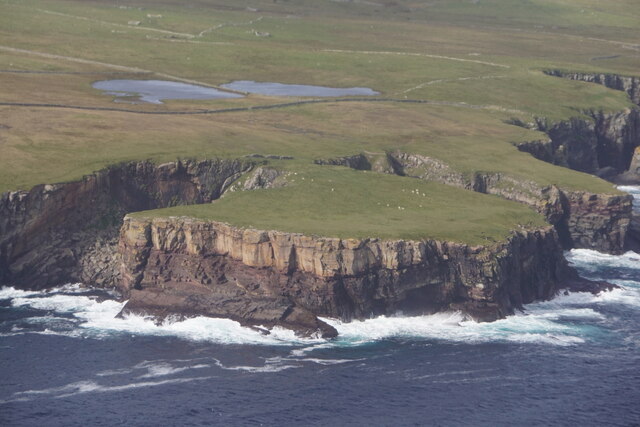
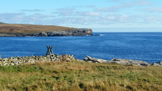
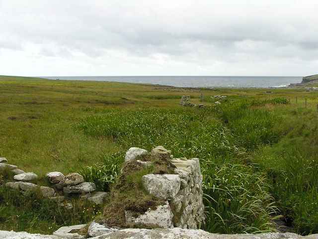
Silver Taing is a prominent coastal feature located in Shetland, Scotland. It is classified as a headland, featuring a distinct point that extends out into the North Sea. The name "Taing" is derived from the Old Norse word for "tongue," aptly describing the elongated shape of this landform.

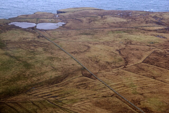
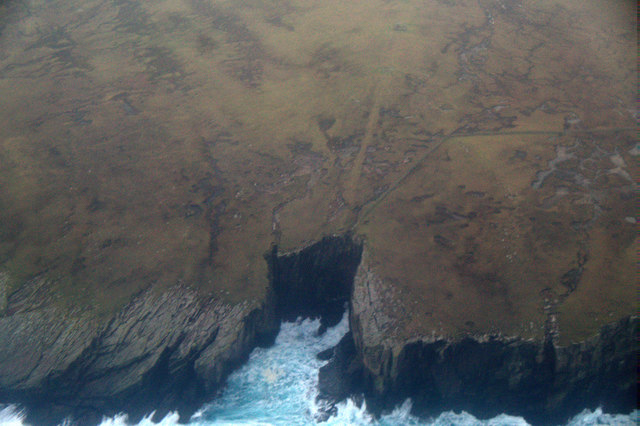
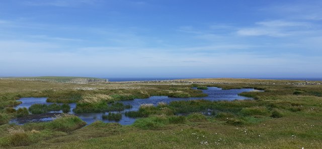
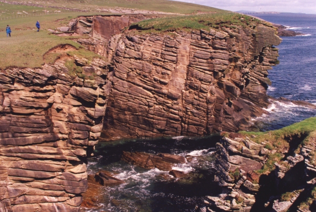
This headland is characterized by its rugged and rocky terrain, with steep cliffs that provide breathtaking views of the surrounding landscape. The cliffs are composed of sedimentary rocks, showcasing layers of different geological formations that reveal the area's ancient history. The most prominent rock types found here are sandstone and shale.

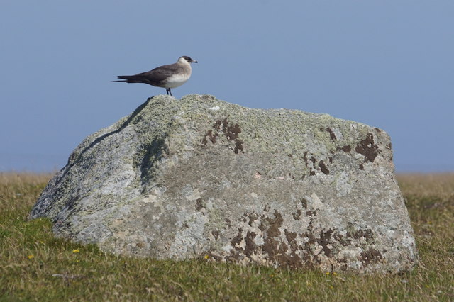
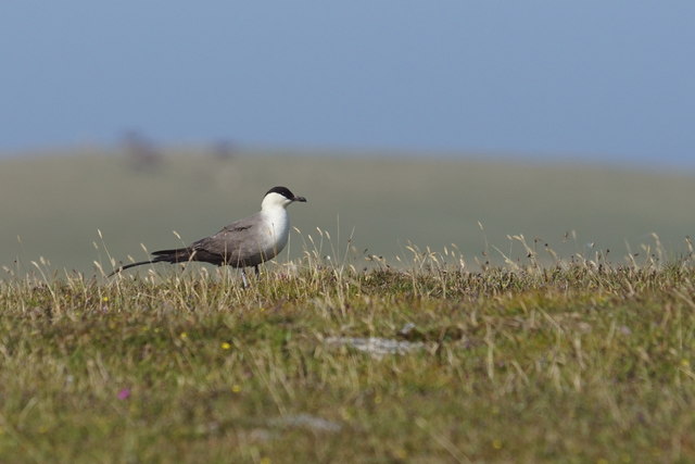
Silver Taing is also known for its diverse wildlife. The surrounding waters are home to a variety of marine species, including seals, dolphins, and seabirds such as puffins and gannets. Birdwatchers often flock to this area to observe the nesting colonies and migratory patterns of these captivating creatures.

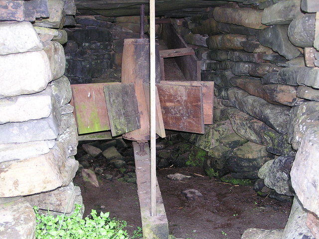
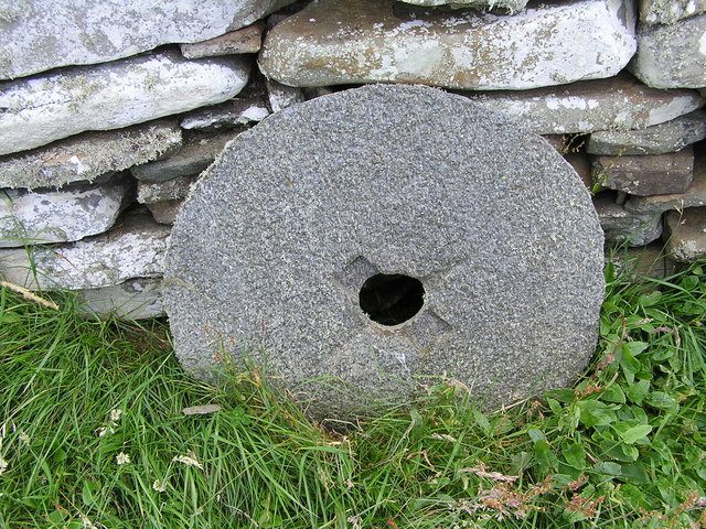
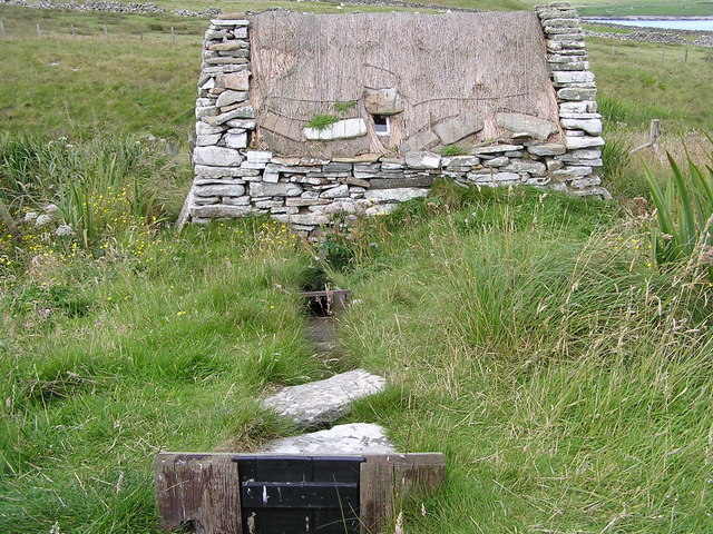
In addition to its natural beauty, Silver Taing holds historical significance. The headland is dotted with archaeological remains, including ancient settlements and burial sites. These remnants provide valuable insights into the lives of the people who inhabited this area in the past.

Silver Taing is a popular destination for outdoor enthusiasts, offering opportunities for hiking, birdwatching, and photography. Its dramatic coastal scenery and rich history make it a must-visit location for those seeking to explore the rugged beauty of Shetland.

If you have any feedback on the listing, please let us know in the comments section below.

Silver Taing Images

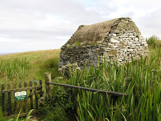
Images are sourced within 2km of 59.92005/-1.2808156 or Grid Reference HU4015. Thanks to Geograph Open Source API. All images are credited.

Lambhoga Head and Loch of Mails from the air
Loch of Mails from the air
Coastal path at Bu Taing, Boddam Looking across to Dalsetter.
Coastal path at Bu Taing, Boddam
Looking across to Dalsetter.
Teisti Geo, south of Boddam
Arctic Skua (Stercorarius parastiticus), Dalsetter, Boddam
Long-tailed Skua (Stercorarius longicauda), Dalsetter, Boddam Normally a high Arctic breeder, but this bird has been here for a month.
Long-tailed Skua (Stercorarius longicauda), Dalsetter, Boddam
Normally a high Arctic breeder, but this bird has been here for a month.
Small pool at Dalsetter
The Dalsetter Erratic This party of geologists is admiring the large boulder in the centre, which is of such a distinctive rock that it has been possible to pinpoint exactly where it came from before the glaciers of the Ice Age dumped it in Shetland - from Tonsberg, near Larvik in Norway!

For a closer view of the erratic itself see <a href="https://www.geograph.org.uk/photo/2619886">HU4016 : Dalsetter erratic</a>.
The Dalsetter Erratic
This party of geologists is admiring the large boulder in the centre, which is of such a distinctive rock that it has been possible to pinpoint exactly where it came from before the glaciers of the Ice Age dumped it in Shetland - from Tonsberg, near Larvik in Norway! For a closer view of the erratic itself see HU4016 : Dalsetter erratic.
Broken Brough Spectacular dune cross-bedding in Devonian desert sandstones.
Broken Brough
Spectacular dune cross-bedding in Devonian desert sandstones.
Broch of Dalsetter Remains of the Broch at Dalsetter
Broch of Dalsetter
Remains of the Broch at Dalsetter
The old croft Old croft buildings at Dalsetter
The old croft
Old croft buildings at Dalsetter
Voe Dunrossness Looking west into Voe, from a fishing mark known as 'Da Kirk on Da Brakes'
Voe Dunrossness
Looking west into Voe, from a fishing mark known as 'Da Kirk on Da Brakes'
Burn at Troswick The ruins of old mills can be seen along the burn. Further down the burn one of the mills has been restored to working order.
Burn at Troswick
The ruins of old mills can be seen along the burn. Further down the burn one of the mills has been restored to working order.
Tirl under the mill at Sout Voe Dunrossness The Tirl which drives the grinding stone. Crofthouse Museum.
Tirl under the mill at Sout Voe Dunrossness
The Tirl which drives the grinding stone. Crofthouse Museum.
Millstone At the mill, Crofthouse Museum, Dunrossness
Millstone
At the mill, Crofthouse Museum, Dunrossness
Mill at Crofthouse Museum Waterway into mill.
Mill at Crofthouse Museum
Waterway into mill.
Interior of mill at Crofthouse Museum
Mill at Crofthouse Museum
Show me another place!

Silver Taing is located at Grid Ref: HU4015 (Lat: 59.92005, Lng: -1.2808156)

Unitary Authority: Shetland Islands

Police Authority: Highlands and Islands

What 3 Words

///arise.clips.voltage. Near Sumburgh, Shetland Islands

Related Wikis

Boddam, Shetland

Boddam is a village on the island of Mainland, in Shetland, Scotland. Boddam is an area of Dunrossness in the South Mainland of Shetland. Although Boddam...

Dunrossness

Dunrossness, (Old Norse: Dynrastarnes meaning "headland of the loud tide-race", referring to the noise of Sumburgh Roost) is the southernmost parish of...

Clumlie Broch

Clumlie Broch is an Iron Age broch located on Mainland, Shetland, in Scotland (grid reference HU40451811). == Location == Clumlie Broch is located in Dunrossness...

Exnaboe

Exnaboe, locally referred to as 'bö', is a settlement in the Virkie area of the parish of Dunrossness, South Mainland, Shetland, Scotland, overlooking...

Nearby Amenities

Located within 500m of 59.92005,-1.2808156
Power: pole
Lat/Long: 59.9239263/-1.282207
Power: pole
Lat/Long: 59.9232213/-1.2835167
Power: pole
Lat/Long: 59.9230129/-1.2849004
Power: pole
Lat/Long: 59.9227675/-1.2864377
Power: pole
Lat/Long: 59.9230511/-1.2874795
Bus Stop
Dalsetter Wynd
Bus: yes
Fixme: Location unknown
Public Transport: platform
Lat/Long: 59.9233867/-1.2801473
The data included in this document is from www.openstreetmap.org. The data is made available under ODbL.

Have you been to Silver Taing?

Leave your review of Silver Taing below (or comments, questions and feedback).