Crossings, Lower

Settlement in Derbyshire High Peak

England

Crossings, Lower

War memorial in Chapel-en-le-Frith Situated in the Market Place.
War memorial in Chapel-en-le-Frith Credit: Bill Boaden

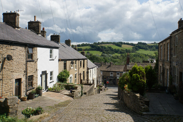
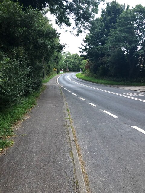
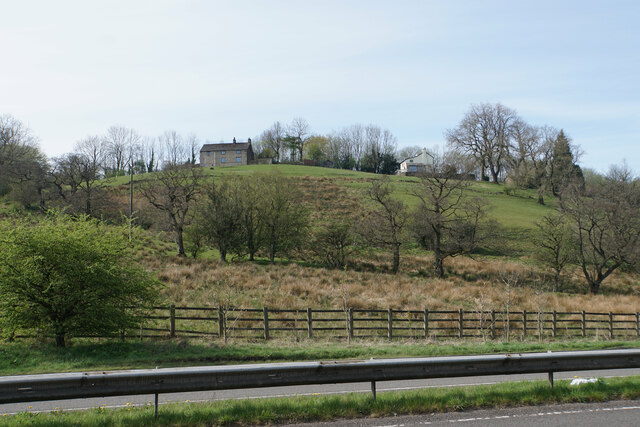
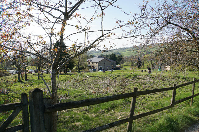
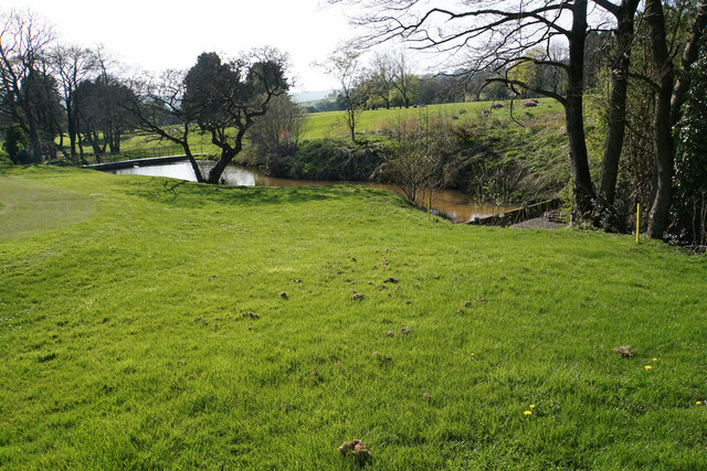
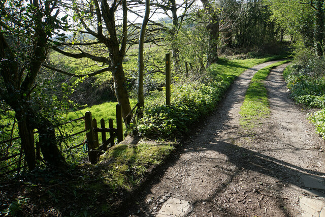
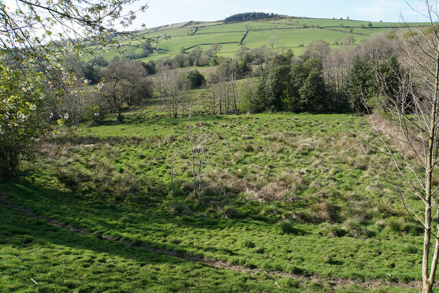
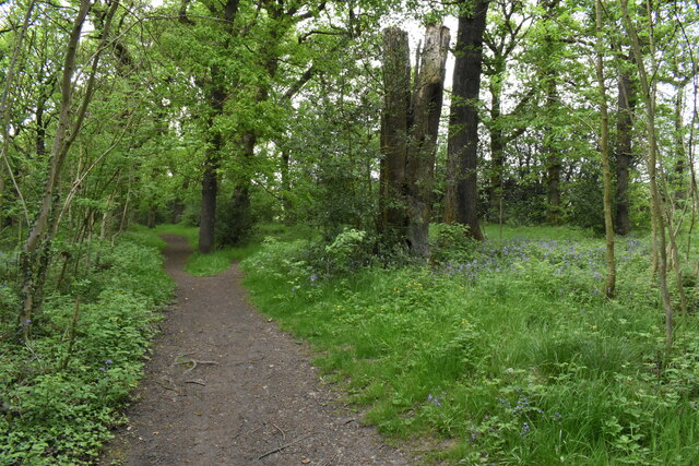
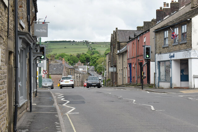
Crossings, Lower is a small village located in the county of Derbyshire, England. Situated near the River Derwent, it is part of the larger civil parish of Ashover. The village is nestled within a picturesque rural landscape, characterized by rolling hills and lush green fields.

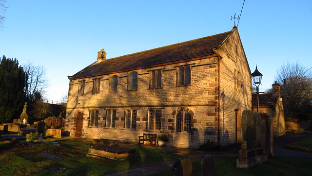
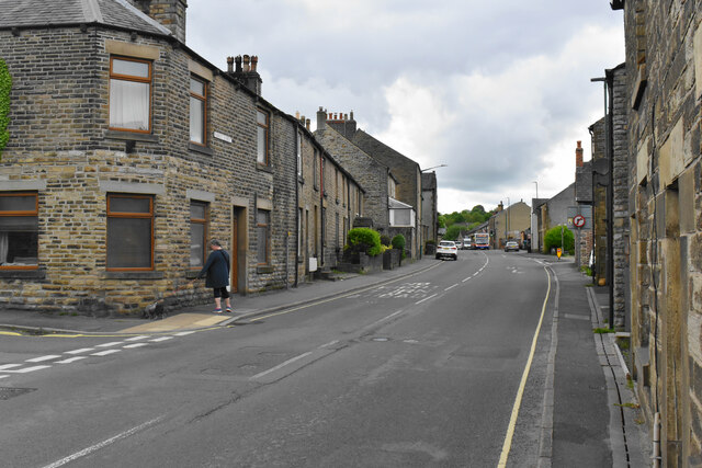
Crossings, Lower has a modest population, with a tight-knit community that values its peaceful and idyllic setting. The village is known for its traditional stone-built houses and charming cottages, which give it a quintessential English countryside feel.

The village is well-connected to nearby towns and cities, with good transportation links such as roads and bus services. This allows residents easy access to essential amenities and employment opportunities in the surrounding areas.

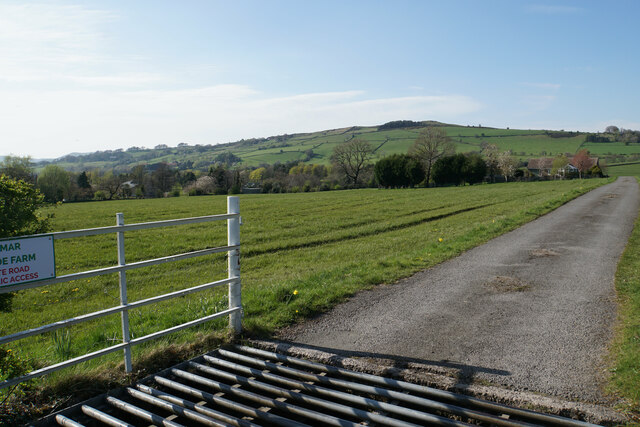
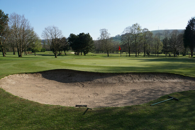
Nature enthusiasts and outdoor lovers are drawn to Crossings, Lower due to its proximity to the Peak District National Park. The park offers a range of recreational activities, including hiking, cycling, and wildlife spotting. Additionally, the River Derwent provides opportunities for fishing and boating.

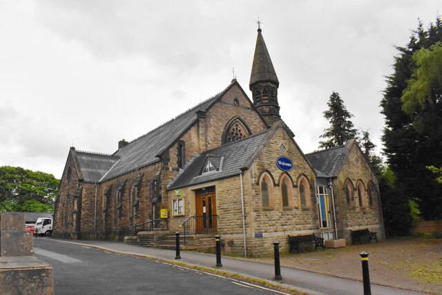
While Crossings, Lower may lack the hustle and bustle of larger urban centers, it compensates with a sense of tranquility and a strong community spirit. The village hosts various events and activities throughout the year, fostering a sense of belonging and camaraderie among its residents.

In summary, Crossings, Lower is a charming village in Derbyshire, offering its residents a peaceful countryside lifestyle and easy access to the natural beauty of the Peak District National Park.

If you have any feedback on the listing, please let us know in the comments section below.

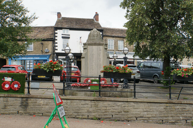
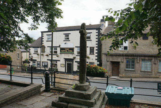
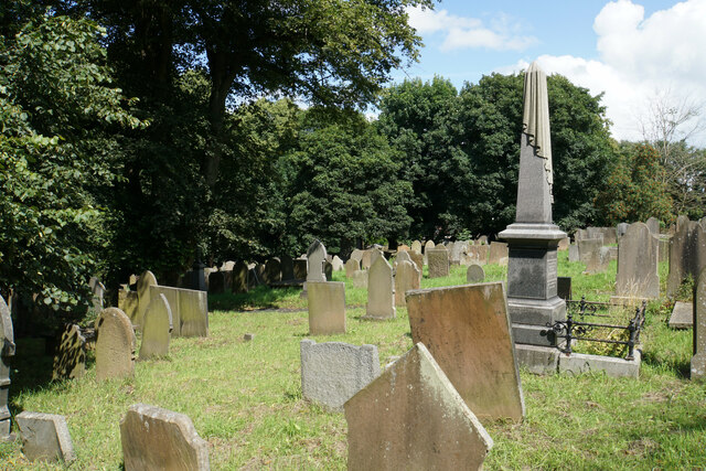
Crossings, Lower Images

Images are sourced within 2km of 53.321213/-1.93001 or Grid Reference SK0480. Thanks to Geograph Open Source API. All images are credited.

War memorial in Chapel-en-le-Frith Situated in the Market Place.
War memorial in Chapel-en-le-Frith
Situated in the Market Place.
Market Cross, Chapel-en-le-Frith Grade II listed and said to date from 1643. It is situated in Market Place overlooking Market Street which runs below.
Market Cross, Chapel-en-le-Frith
Grade II listed and said to date from 1643. It is situated in Market Place overlooking Market Street which runs below.
Churchyard of St Thomas Becket, Chapel-en-le-Frith Quite a large churchyard which extends down the hill to the left.
Churchyard of St Thomas Becket, Chapel-en-le-Frith
Quite a large churchyard which extends down the hill to the left.
Church Brow A largely unspoilt road in Chapel-en-le-Frith though there are a lot of telegraph wires.
Church Brow
A largely unspoilt road in Chapel-en-le-Frith though there are a lot of telegraph wires.
B5470 near Cockyard
B5470 near Cockyard
Chinley Chapel at Chapel Milton Chinley Independent Chapel was founded in 1662 by Rev. William Bagshawe who one of about 2,000 ministers and teachers of the church who failed to conform to the Uniformity Act of 1662. On St Bartholomew's Day, 24th August, 1662, Rev. Bagshawe who was then vicar of Glossop and others who rebelled against the Uniformity Act of 1662 were deprived of their living and ministries.

Rev. Bagshawe (who was also known as the 'Apostle of the Peak') then moved to Malcoffe Farm occupied by his brother-in-law who willingly consented for a barn on his farm to be converted into a Chapel. This became the place of worship for him and about 120 members who attended Sacramental Services there. He preached regularly to this gathering until 22nd March, 1702 -the day he preached his last sermon.

After Rev Bagshawe's death in 1702, the members of the church led by the Rev. James Clegg started the work on finding a suitable place for building of a new Chapel. In 1711, Chinley Independent Chapel was built. source <span class="nowrap"><a title="www.chinleyindependentchapel.org.uk" rel="nofollow ugc noopener" href="http://www.chinleyindependentchapel.org.uk">Link</a><img style="margin-left:2px;" alt="External link" title="External link - shift click to open in new window" src="https://s1.geograph.org.uk/img/external.png" width="10" height="10"/></span>
Chinley Chapel at Chapel Milton
Chinley Independent Chapel was founded in 1662 by Rev. William Bagshawe who one of about 2,000 ministers and teachers of the church who failed to conform to the Uniformity Act of 1662. On St Bartholomew's Day, 24th August, 1662, Rev. Bagshawe who was then vicar of Glossop and others who rebelled against the Uniformity Act of 1662 were deprived of their living and ministries. Rev. Bagshawe (who was also known as the 'Apostle of the Peak') then moved to Malcoffe Farm occupied by his brother-in-law who willingly consented for a barn on his farm to be converted into a Chapel. This became the place of worship for him and about 120 members who attended Sacramental Services there. He preached regularly to this gathering until 22nd March, 1702 -the day he preached his last sermon. After Rev Bagshawe's death in 1702, the members of the church led by the Rev. James Clegg started the work on finding a suitable place for building of a new Chapel. In 1711, Chinley Independent Chapel was built. source LinkExternal link
Grazing land near Chinley Chinley is seen ahead with Chinley Churn rising behind it.
Grazing land near Chinley
Chinley is seen ahead with Chinley Churn rising behind it.
Whitehough Head As viewed from the A6 which runs below.
Whitehough Head
As viewed from the A6 which runs below.
Farm track to Wilmar Farm and Roeside Farm A private track off the B5470 which is not a public footpath.
Farm track to Wilmar Farm and Roeside Farm
A private track off the B5470 which is not a public footpath.
Chapel-en-le-Frith Golf Club The clubhouse viewed from a passing track and footpath.
Chapel-en-le-Frith Golf Club
The clubhouse viewed from a passing track and footpath.
Small reservoirs in Chapel-en-le-Frith Golf Club A small brook has been dammed as it passes through the golf course.
Small reservoirs in Chapel-en-le-Frith Golf Club
A small brook has been dammed as it passes through the golf course.
Footpath leaving a farm track The footpath to Tunstead Milton branches off left from the track which goes to Bradshaw Hall Farm.
Footpath leaving a farm track
The footpath to Tunstead Milton branches off left from the track which goes to Bradshaw Hall Farm.
Soggy valley bottom near Tunstead Milton The valley contains a small unnamed brook. Eccles Pike rises on the other side.
Soggy valley bottom near Tunstead Milton
The valley contains a small unnamed brook. Eccles Pike rises on the other side.
Bunker on Chapel-en-le-Frith Golf Course A footpath follows the northern edge of the golf course, from where this image was taken.
Bunker on Chapel-en-le-Frith Golf Course
A footpath follows the northern edge of the golf course, from where this image was taken.
Woodland path off Bowden Lane The surface of the path is nice and dry but I am sure it isn't always. The path leads to Wash.
Woodland path off Bowden Lane
The surface of the path is nice and dry but I am sure it isn't always. The path leads to Wash.
Market Street Heading towards the centre of Chapel-en-le-Frith with Pennine stone houses.
Market Street
Heading towards the centre of Chapel-en-le-Frith with Pennine stone houses.
Chapel-en-le-Frith Methodist Church Grade II listed church dating from 1874, formerly known as Townend Methodist Church.
Chapel-en-le-Frith Methodist Church
Grade II listed church dating from 1874, formerly known as Townend Methodist Church.
Market Street The B5470 passing through Chapel-en-le-Frith. In the background you can see the lane climbing up Peaslows towards Sparrowpit.
Market Street
The B5470 passing through Chapel-en-le-Frith. In the background you can see the lane climbing up Peaslows towards Sparrowpit.
Show me another place!

Crossings, Lower is located at Grid Ref: SK0480 (Lat: 53.321213, Lng: -1.93001)

Administrative County: Derbyshire

District: High Peak

Police Authority: Derbyshire

What 3 Words

///lends.shack.school. Near Chapel en le Frith, Derbyshire

Related Wikis

Chapel-en-le-Frith High School

Chapel-en-le-Frith High School is a mixed gender comprehensive school in Chapel-en-le-Frith in the county of Derbyshire, England. It serves pupils aged...

Chapel-en-le-Frith Central railway station

Chapel-en-le-Frith Central railway station was an intermediate stop on the Derby–Manchester line of the Midland Railway. It served the Derbyshire town...

Chapel-en-le-Frith

Chapel-en-le-Frith () is a town and civil parish in the Borough of High Peak in Derbyshire, England. It has been dubbed the "Capital of the Peak", in...

Chapel-en-le-Frith Town Hall

Chapel-en-le-Frith Town Hall is a municipal building in Market Street, Chapel-en-le-Frith, Derbyshire, England. The structure operates as a community events...

Nearby Amenities

Located within 500m of 53.321213,-1.93001
School: path
Lat/Long: 53.3200516/-1.9237934
Generator Method: photovoltaic
Generator Output Electricity: yes
Generator Source: solar
Generator Type: solar_photovoltaic_panel
Location: roof
Power: generator
Lat/Long: 53.3230291/-1.9233309
Generator Method: photovoltaic
Generator Output Electricity: yes
Generator Source: solar
Generator Type: solar_photovoltaic_panel
Location: roof
Power: generator
Lat/Long: 53.3239631/-1.9249885
Generator Method: photovoltaic
Generator Output Electricity: yes
Generator Source: solar
Generator Type: solar_photovoltaic_panel
Location: roof
Power: generator
Lat/Long: 53.3245351/-1.9274856
Generator Method: photovoltaic
Generator Output Electricity: yes
Generator Source: solar
Generator Type: solar_photovoltaic_panel
Location: roof
Power: generator
Lat/Long: 53.3245895/-1.9290037
Generator Method: photovoltaic
Generator Output Electricity: yes
Generator Source: solar
Generator Type: solar_photovoltaic_panel
Location: roof
Power: generator
Lat/Long: 53.3245319/-1.928824
Generator Method: photovoltaic
Generator Output Electricity: yes
Generator Source: solar
Generator Type: solar_photovoltaic_panel
Location: roof
Power: generator
Lat/Long: 53.3253217/-1.9297279
Generator Method: photovoltaic
Generator Output Electricity: yes
Generator Source: solar
Generator Type: solar_photovoltaic_panel
Location: roof
Power: generator
Lat/Long: 53.3227199/-1.9281669
Generator Method: photovoltaic
Generator Output Electricity: yes
Generator Source: solar
Generator Type: solar_photovoltaic_panel
Location: roof
Power: generator
Lat/Long: 53.3201084/-1.9244708
Generator Method: photovoltaic
Generator Output Electricity: yes
Generator Source: solar
Generator Type: solar_photovoltaic_panel
Location: roof
Power: generator
Lat/Long: 53.3201036/-1.9245727
Generator Method: photovoltaic
Generator Output Electricity: yes
Generator Source: solar
Generator Type: solar_photovoltaic_panel
Location: roof
Power: generator
Lat/Long: 53.3203856/-1.9244896
Generator Method: photovoltaic
Generator Output Electricity: yes
Generator Source: solar
Generator Type: solar_photovoltaic_panel
Location: roof
Power: generator
Lat/Long: 53.3203632/-1.925136
Generator Method: photovoltaic
Generator Output Electricity: yes
Generator Source: solar
Generator Type: solar_photovoltaic_panel
Location: roof
Power: generator
Lat/Long: 53.3199562/-1.925246
Generator Method: photovoltaic
Generator Output Electricity: yes
Generator Source: solar
Generator Type: solar_photovoltaic_panel
Location: roof
Power: generator
Lat/Long: 53.3197463/-1.9249911
Generator Method: photovoltaic
Generator Output Electricity: yes
Generator Source: solar
Generator Type: solar_photovoltaic_panel
Location: roof
Power: generator
Lat/Long: 53.319341/-1.9251333
Generator Method: photovoltaic
Generator Output Electricity: yes
Generator Source: solar
Generator Type: solar_photovoltaic_panel
Location: roof
Power: generator
Lat/Long: 53.3191807/-1.9253962
Generator Method: photovoltaic
Generator Output Electricity: yes
Generator Source: solar
Generator Type: solar_photovoltaic_panel
Location: roof
Power: generator
Lat/Long: 53.3190814/-1.9264825
Generator Method: photovoltaic
Generator Output Electricity: yes
Generator Source: solar
Generator Type: solar_photovoltaic_panel
Location: roof
Power: generator
Lat/Long: 53.3184084/-1.9282688
Generator Method: photovoltaic
Generator Output Electricity: yes
Generator Source: solar
Generator Type: solar_photovoltaic_panel
Location: roof
Power: generator
Lat/Long: 53.3178861/-1.9286175
Generator Method: photovoltaic
Generator Output Electricity: yes
Generator Source: solar
Generator Type: solar_photovoltaic_panel
Location: roof
Power: generator
Lat/Long: 53.3205779/-1.9268177
Generator Method: photovoltaic
Generator Output Electricity: yes
Generator Source: solar
Generator Type: solar_photovoltaic_panel
Location: roof
Power: generator
Lat/Long: 53.3204417/-1.9272442
Generator Method: photovoltaic
Generator Output Electricity: yes
Generator Source: solar
Generator Type: solar_photovoltaic_panel
Location: roof
Power: generator
Lat/Long: 53.3188314/-1.9338853
Generator Method: photovoltaic
Generator Output Electricity: yes
Generator Source: solar
Generator Type: solar_photovoltaic_panel
Location: roof
Power: generator
Lat/Long: 53.3183476/-1.9352157
Man Made: reservoir_covered
Lat/Long: 53.3219033/-1.9297653
Bus Stop
Chapel en le Frith, Manchester Road / opposite Whitestones
Bus: yes
Network: Derbyshire County Council
Operator: Derbyshire County Council
Public Transport: platform
Lat/Long: 53.3186625/-1.9337742
Bus Stop
Chapel en le Frith, Manchester Road / adjacent Crossings Road
Bus: yes
Network: Derbyshire County Council
Operator: Derbyshire County Council
Public Transport: platform
Lat/Long: 53.3211325/-1.9256232
Bus Stop
Chapel en le Frith, Manchester Road / adjacent Eccles Fold
Bus: yes
Naptan AtcoCode: 100052531
Naptan NaptanCode: dbsjawmg
Network: Derbyshire County Council
Operator: Derbyshire County Council
Public Transport: platform
Lat/Long: 53.321239/-1.9245086
Bus Stop
Chapel en le Frith, Manchester Road / opposite Eccles Fold
Bus: yes
Network: Derbyshire County Council
Operator: Derbyshire County Council
Public Transport: platform
Lat/Long: 53.3211358/-1.9244787
Bus Stop
Chapel en le Frith, Manchester Road / opposite Crossings Road
Bus: yes
Naptan AtcoCode: 1000DCFM3515
Naptan NaptanCode: dbsajmjt
Network: Derbyshire County Council
Operator: Derbyshire County Council
Public Transport: platform
Lat/Long: 53.3208124/-1.9270688
Bus Stop
Chapel en le Frith, Manchester Road / adjacent Whitestones
Bus: yes
Network: Derbyshire County Council
Operator: Derbyshire County Council
Public Transport: platform
Lat/Long: 53.3188043/-1.9331192
The data included in this document is from www.openstreetmap.org. The data is made available under ODbL.

Have you been to Crossings, Lower?

Leave your review of Crossings, Lower below (or comments, questions and feedback).