Lower Croan

Settlement in Cornwall

England

Lower Croan

Camel Trail beside the river in Gaff Wood The National Cycle Network is a network of cycle routes. It was created by the charity Sustrans <span class="nowrap"><a title="http://www.sustrans.org.uk/what-we-do/national-cycle-network" rel="nofollow ugc noopener" href="http://www.sustrans.org.uk/what-we-do/national-cycle-network">Link</a><img style="margin-left:2px;" alt="External link" title="External link - shift click to open in new window" src="https://s1.geograph.org.uk/img/external.png" width="10" height="10"/></span>  (Sustainable Transport), aided by a National Lottery grant.

Many routes aim to minimise contact with motor traffic, though 70% of them are on roads. In some cases the NCN uses pedestrian routes, disused railways, minor roads, canal towpaths, or traffic-calmed routes in towns and cities.
Camel Trail beside the river in Gaff Wood Credit: David Smith

Lower Croan is a small village located in the county of Cornwall, in southwestern England. Situated in the civil parish of St Clether, Lower Croan is nestled in the rural countryside, surrounded by picturesque landscapes and rolling hills. The village is part of the Bodmin Moor Area of Outstanding Natural Beauty, offering residents and visitors access to stunning natural scenery.

Lower Croan is characterized by its tranquil and idyllic setting, making it an attractive destination for those seeking peace and relaxation. The village is known for its traditional Cornish charm, with a collection of quaint stone cottages and farmhouses dotting the landscape. The local community is tight-knit and friendly, embodying the warm hospitality that Cornwall is renowned for.

Despite its small size, Lower Croan is within close proximity to some notable attractions. The nearby St Clether Holy Well and Chapel, a medieval site of religious significance, draws visitors with its historical and spiritual allure. Additionally, the village is conveniently located for exploring the rugged beauty of Bodmin Moor, with its vast open spaces, ancient stone circles, and abundance of wildlife.

While Lower Croan is primarily a residential area, there are a few amenities available to residents. The village has a small local shop, providing basic necessities and serving as a gathering point for locals. For a wider range of amenities, the nearby town of Launceston offers a variety of shops, restaurants, and services, just a short drive away.

In summary, Lower Croan is a charming and tranquil village in Cornwall, offering residents and visitors a peaceful retreat amidst the natural beauty of Bodmin Moor.

If you have any feedback on the listing, please let us know in the comments section below.
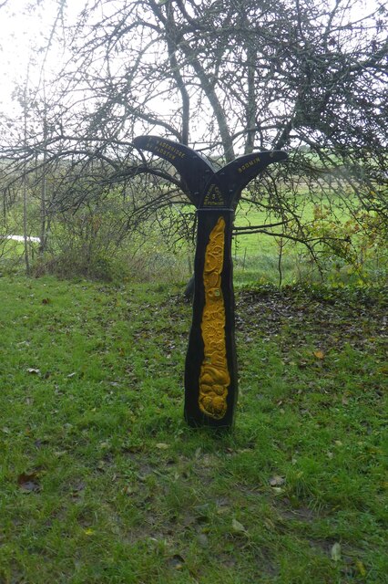
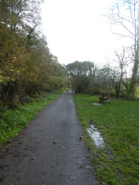
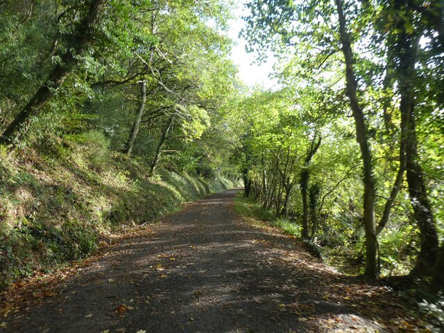
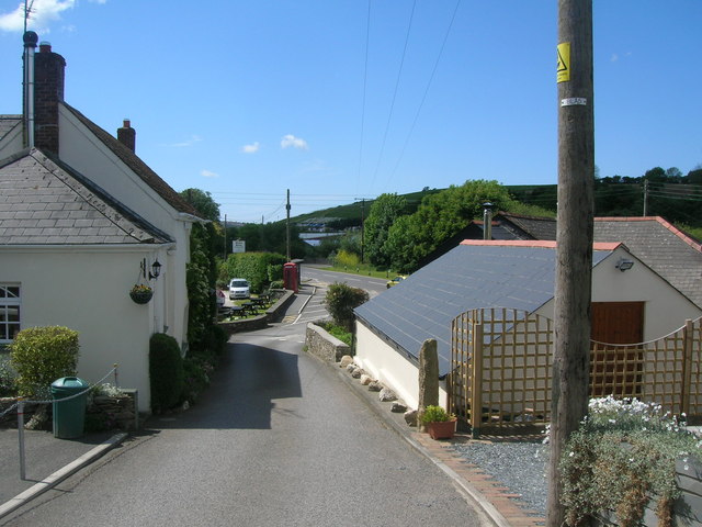
Lower Croan Images

Images are sourced within 2km of 50.505238/-4.7936314 or Grid Reference SX0271. Thanks to Geograph Open Source API. All images are credited.

Camel Trail beside the river in Gaff Wood The National Cycle Network is a network of cycle routes. It was created by the charity Sustrans <span class="nowrap"><a title="http://www.sustrans.org.uk/what-we-do/national-cycle-network" rel="nofollow ugc noopener" href="http://www.sustrans.org.uk/what-we-do/national-cycle-network">Link</a><img style="margin-left:2px;" alt="External link" title="External link - shift click to open in new window" src="https://s1.geograph.org.uk/img/external.png" width="10" height="10"/></span>  (Sustainable Transport), aided by a National Lottery grant.

Many routes aim to minimise contact with motor traffic, though 70% of them are on roads. In some cases the NCN uses pedestrian routes, disused railways, minor roads, canal towpaths, or traffic-calmed routes in towns and cities.
Camel Trail beside the river in Gaff Wood
The National Cycle Network is a network of cycle routes. It was created by the charity Sustrans LinkExternal link (Sustainable Transport), aided by a National Lottery grant. Many routes aim to minimise contact with motor traffic, though 70% of them are on roads. In some cases the NCN uses pedestrian routes, disused railways, minor roads, canal towpaths, or traffic-calmed routes in towns and cities.
Sustrans milepost by Camel Trail The National Cycle Network is a network of cycle routes. It was created by the charity Sustrans <span class="nowrap"><a title="http://www.sustrans.org.uk/what-we-do/national-cycle-network" rel="nofollow ugc noopener" href="http://www.sustrans.org.uk/what-we-do/national-cycle-network">Link</a><img style="margin-left:2px;" alt="External link" title="External link - shift click to open in new window" src="https://s1.geograph.org.uk/img/external.png" width="10" height="10"/></span>  (Sustainable Transport), aided by a National Lottery grant.

Many routes aim to minimise contact with motor traffic, though 70% of them are on roads. In some cases the NCN uses pedestrian routes, disused railways, minor roads, canal towpaths, or traffic-calmed routes in towns and cities.
Sustrans milepost by Camel Trail
The National Cycle Network is a network of cycle routes. It was created by the charity Sustrans LinkExternal link (Sustainable Transport), aided by a National Lottery grant. Many routes aim to minimise contact with motor traffic, though 70% of them are on roads. In some cases the NCN uses pedestrian routes, disused railways, minor roads, canal towpaths, or traffic-calmed routes in towns and cities.
Camel Trail south of Wadebridge The National Cycle Network is a network of cycle routes. It was created by the charity Sustrans <span class="nowrap"><a title="http://www.sustrans.org.uk/what-we-do/national-cycle-network" rel="nofollow ugc noopener" href="http://www.sustrans.org.uk/what-we-do/national-cycle-network">Link</a><img style="margin-left:2px;" alt="External link" title="External link - shift click to open in new window" src="https://s1.geograph.org.uk/img/external.png" width="10" height="10"/></span>  (Sustainable Transport), aided by a National Lottery grant.

Many routes aim to minimise contact with motor traffic, though 70% of them are on roads. In some cases the NCN uses pedestrian routes, disused railways, minor roads, canal towpaths, or traffic-calmed routes in towns and cities.
Camel Trail south of Wadebridge
The National Cycle Network is a network of cycle routes. It was created by the charity Sustrans LinkExternal link (Sustainable Transport), aided by a National Lottery grant. Many routes aim to minimise contact with motor traffic, though 70% of them are on roads. In some cases the NCN uses pedestrian routes, disused railways, minor roads, canal towpaths, or traffic-calmed routes in towns and cities.
Camel Trail north of Bishop's Wood The National Cycle Network is a network of cycle routes. It was created by the charity Sustrans <span class="nowrap"><a title="http://www.sustrans.org.uk/what-we-do/national-cycle-network" rel="nofollow ugc noopener" href="http://www.sustrans.org.uk/what-we-do/national-cycle-network">Link</a><img style="margin-left:2px;" alt="External link" title="External link - shift click to open in new window" src="https://s1.geograph.org.uk/img/external.png" width="10" height="10"/></span>  (Sustainable Transport), aided by a National Lottery grant.

Many routes aim to minimise contact with motor traffic, though 70% of them are on roads. In some cases the NCN uses pedestrian routes, disused railways, minor roads, canal towpaths, or traffic-calmed routes in towns and cities.
Camel Trail north of Bishop's Wood
The National Cycle Network is a network of cycle routes. It was created by the charity Sustrans LinkExternal link (Sustainable Transport), aided by a National Lottery grant. Many routes aim to minimise contact with motor traffic, though 70% of them are on roads. In some cases the NCN uses pedestrian routes, disused railways, minor roads, canal towpaths, or traffic-calmed routes in towns and cities.
Camel Trail in Gaff Wood The National Cycle Network is a network of cycle routes. It was created by the charity Sustrans <span class="nowrap"><a title="http://www.sustrans.org.uk/what-we-do/national-cycle-network" rel="nofollow ugc noopener" href="http://www.sustrans.org.uk/what-we-do/national-cycle-network">Link</a><img style="margin-left:2px;" alt="External link" title="External link - shift click to open in new window" src="https://s1.geograph.org.uk/img/external.png" width="10" height="10"/></span>  (Sustainable Transport), aided by a National Lottery grant.

Many routes aim to minimise contact with motor traffic, though 70% of them are on roads. In some cases the NCN uses pedestrian routes, disused railways, minor roads, canal towpaths, or traffic-calmed routes in towns and cities.
Camel Trail in Gaff Wood
The National Cycle Network is a network of cycle routes. It was created by the charity Sustrans LinkExternal link (Sustainable Transport), aided by a National Lottery grant. Many routes aim to minimise contact with motor traffic, though 70% of them are on roads. In some cases the NCN uses pedestrian routes, disused railways, minor roads, canal towpaths, or traffic-calmed routes in towns and cities.
River Camel
River Camel
Reed beds by River Camel
The Withered Arm - Bridge 140 - Treworder Cattle Creep This view of Bridge 140 on the old North Cornwall Railway, (ex LSWR, and Southern railway), is taken from the track to Treworder farm, for which the bridge was built.
The Withered Arm - Bridge 140 - Treworder Cattle Creep
This view of Bridge 140 on the old North Cornwall Railway, (ex LSWR, and Southern railway), is taken from the track to Treworder farm, for which the bridge was built.
The Withered Arm - The Allen Valley This view is taken just above Sladesbridge in the Allen Valley, where the line descended the valley on the north side, terraced into the steep valley side. The gradient along this stretch was falling at 1:75 towards the Camel Valley.
The Withered Arm - The Allen Valley
This view is taken just above Sladesbridge in the Allen Valley, where the line descended the valley on the north side, terraced into the steep valley side. The gradient along this stretch was falling at 1:75 towards the Camel Valley.
Trelawney's Garden Centre in Sladebridge
Car wash at the garden centre
Carrick : House beside the A389 A house and car beside the A389 in Carrick.
Carrick : House beside the A389
A house and car beside the A389 in Carrick.
Unoccupied farmhouse at Bozion Farm There is also a large range of very run-down barns.
Unoccupied farmhouse at Bozion Farm
There is also a large range of very run-down barns.
Field in the Camel valley at Bozion Farm Looking down the valley towards Treraven Wood.
Field in the Camel valley at Bozion Farm
Looking down the valley towards Treraven Wood.
Looking across the valley of the River Allen at Sladesbridge The large building in the centre of the photo is the Trelawney Garden Centre <a href="https://www.geograph.org.uk/photo/1288606">SX0071 : Garden centre, Sladesbridge</a>.
Looking across the valley of the River Allen at Sladesbridge
The large building in the centre of the photo is the Trelawney Garden Centre SX0071 : Garden centre, Sladesbridge.
Minor road from Pendavey to Sladesbridge Note the crash barrier along the side of the road, where there is a steep drop into Lane Wood on the side of the River Allen valley.
Minor road from Pendavey to Sladesbridge
Note the crash barrier along the side of the road, where there is a steep drop into Lane Wood on the side of the River Allen valley.
The River Allen at Sladesbridge Looking upstream from the A389 bridge. Note the large growths of the invasive Himalayan Balsam on both banks.
The River Allen at Sladesbridge
Looking upstream from the A389 bridge. Note the large growths of the invasive Himalayan Balsam on both banks.
Commemorative seat beside the A389 at Sladesbridge According to the plaque on the back of this elaborate seat it was erected by Egloshayle Parish Council to commemorate the Silver Jubilee of Her Majesty Queen Elizabeth II 1952-1977.
Commemorative seat beside the A389 at Sladesbridge
According to the plaque on the back of this elaborate seat it was erected by Egloshayle Parish Council to commemorate the Silver Jubilee of Her Majesty Queen Elizabeth II 1952-1977.
Show me another place!

Lower Croan is located at Grid Ref: SX0271 (Lat: 50.505238, Lng: -4.7936314)

Unitary Authority: Cornwall

Police Authority: Devon and Cornwall

What 3 Words

///tribune.depending.flattered. Near Wadebridge, Cornwall

Related Wikis

Lower Croan

Lower Croan (Cornish: Crowyn goles, meaning lower little hut) is a farmstead in Cornwall, England, UK. It is in the parish of Egloshayle and Croan house...

Sladesbridge

Sladesbridge (Cornish: Ponslayn) is a village located near Wadebridge in Cornwall, England. It is situated at the confluence of the River Allen and the...
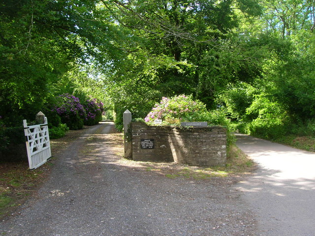
Costislost

Costislost is a Grade II listed house in the parish of Egloshayle in Cornwall, England. To the south are Costislost Plantations. It dates to probably the...

Croanford

Croanford (Cornish: Res Crowyn, meaning ford of a little hut) is a hamlet in Cornwall, England. It is in the parish of Egloshayle. == References ==

Nearby Amenities

Located within 500m of 50.505238,-4.7936314
Power: tower
Source: bing
Lat/Long: 50.5092372/-4.7927864
Power: tower
Source: bing
Lat/Long: 50.5020254/-4.7918354
Power: tower
Source: bing
Lat/Long: 50.5054235/-4.792319
Tredannick
Place: hamlet
Lat/Long: 50.506012/-4.7991393
Treveigan Farm
Place: isolated_dwelling
Lat/Long: 50.5050495/-4.7880274
The data included in this document is from www.openstreetmap.org. The data is made available under ODbL.

Have you been to Lower Croan?

Leave your review of Lower Croan below (or comments, questions and feedback).