Strattas Geo
Coastal Feature, Headland, Point in Shetland
Scotland
Strattas Geo
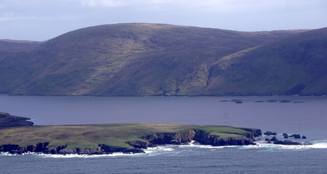
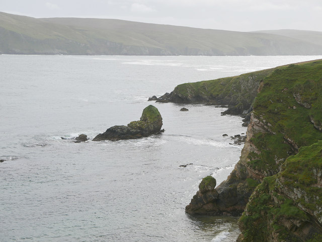
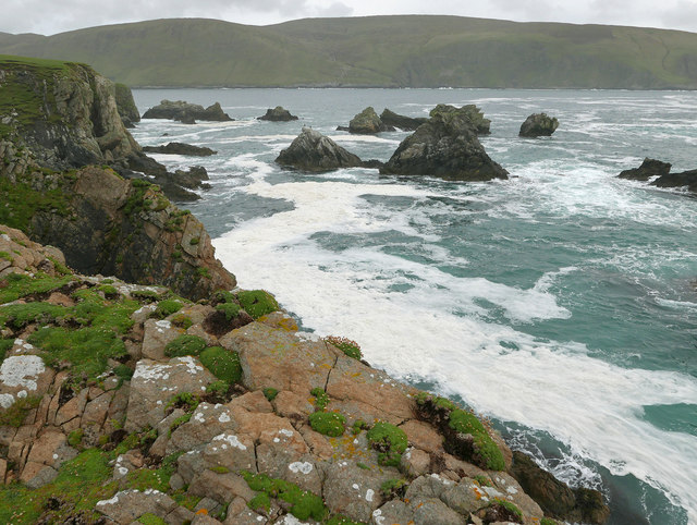
Strattas Geo is a coastal feature located in the Shetland Islands, an archipelago in Scotland. It is known for its distinctive headland and point, making it a prominent feature along the rugged coastline of the island.
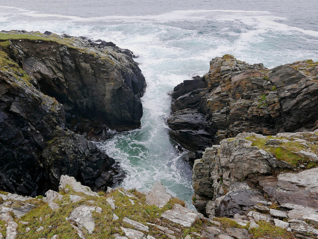
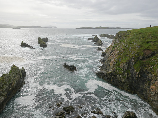
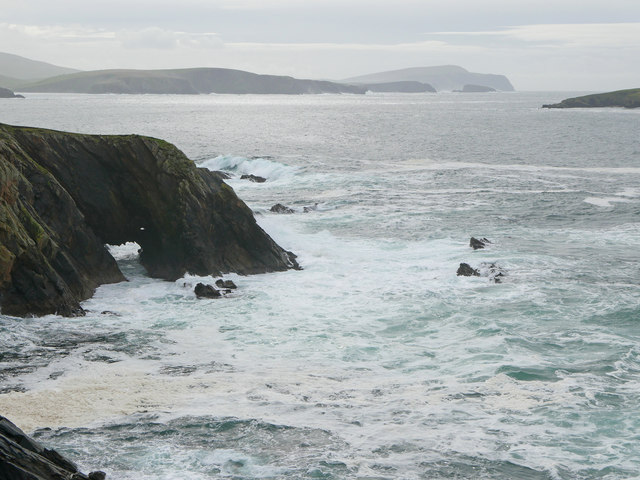
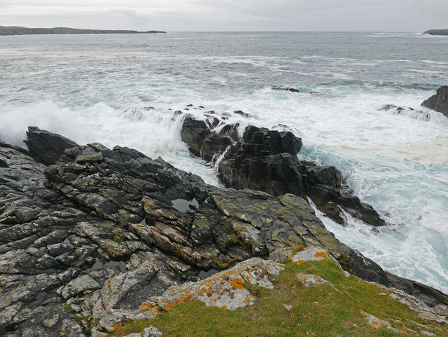
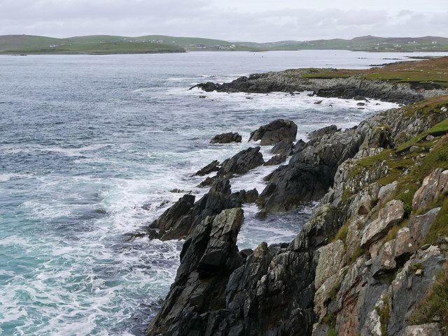
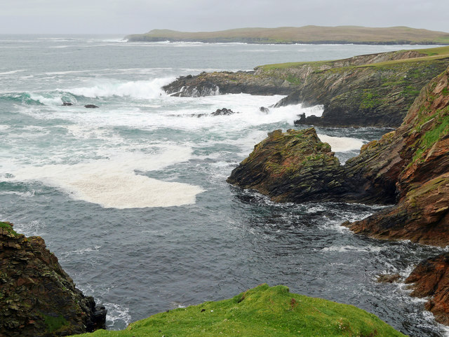
The headland of Strattas Geo is a steep and rocky cliff that juts out into the North Sea. It is characterized by its towering height, reaching an impressive elevation of approximately 100 meters. The cliff face is composed of layered rock formations, displaying the geological history of the area.
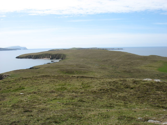
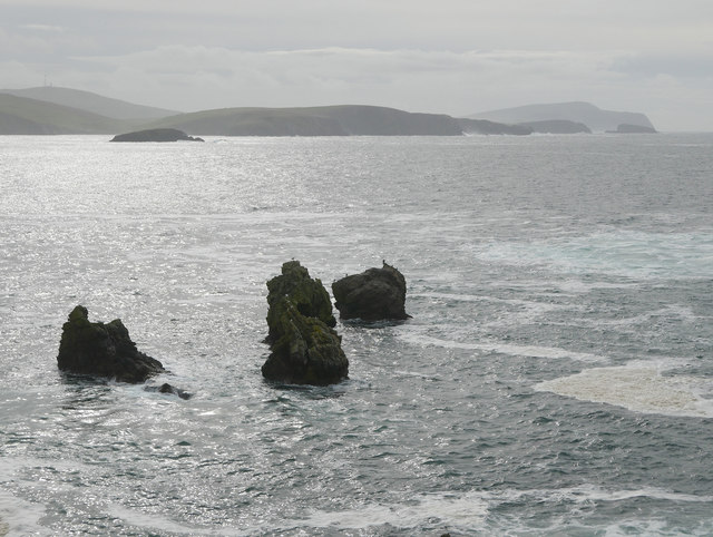
At the end of the headland, there is a point that extends further into the sea. This point is narrower and more exposed, offering a panoramic view of the surrounding coastline and the vast expanse of the ocean. The point is also home to a diverse range of marine life, including seabirds, seals, and occasionally dolphins or porpoises.
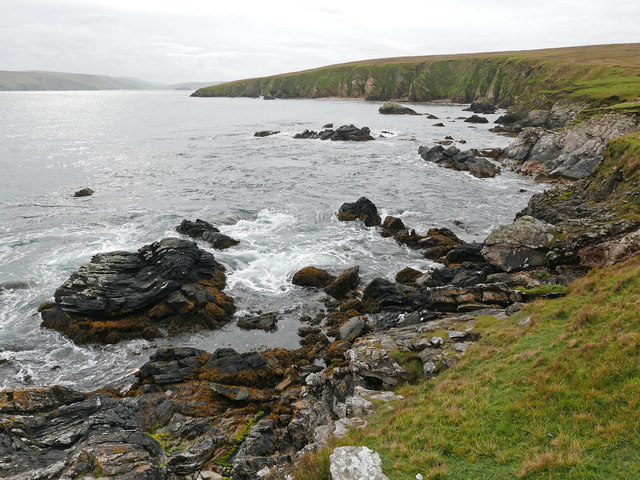
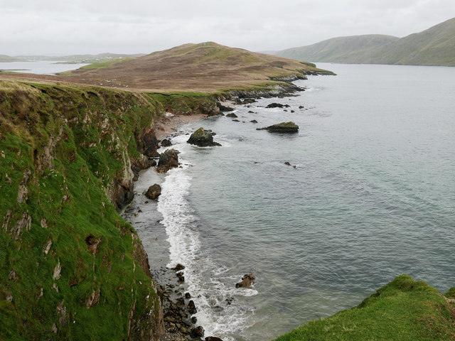
Strattas Geo is a popular destination for nature enthusiasts, hikers, and photographers due to its dramatic scenery and abundant wildlife. Visitors can explore the area by walking along the coastal path that runs parallel to the headland, providing breathtaking views of the cliffs, crashing waves, and the open sea beyond.
The location of Strattas Geo also offers a unique opportunity for geological study, as the rock formations provide valuable insights into the geological processes that shaped the region over millions of years. Overall, Strattas Geo is a captivating coastal feature that showcases the natural beauty and geological wonders of the Shetland Islands.
If you have any feedback on the listing, please let us know in the comments section below.
Strattas Geo Images
Images are sourced within 2km of 60.055037/-1.3216286 or Grid Reference HU3730. Thanks to Geograph Open Source API. All images are credited.


Strattas Geo is located at Grid Ref: HU3730 (Lat: 60.055037, Lng: -1.3216286)
Unitary Authority: Shetland Islands
Police Authority: Highlands and Islands
What 3 Words
///represent.searches.birthdays. Near Sandwick, Shetland Islands
Nearby Locations
Related Wikis

Burra, Shetland
Burra (Old Norse: Barrey ) is the collective name for two of the Shetland Islands, West (pop. 753) and East Burra (pop. 66), which are connected by bridge...

West Burra
West Burra is one of the Scalloway Islands, a subgroup of the Shetland Islands in Scotland. It is connected by bridge to East Burra. With an area of 743...

Scalloway Islands
The Scalloway Islands are in Shetland opposite Scalloway on south west of the Mainland. They form a mini-archipelago and include: Burra (two islands linked...

South Mainland
The South Mainland of the Shetland Islands is the southern peninsula of Mainland island. It lies south of Hellister (60° 14′N). The greater southern part...

South Havra
South Havra (Scots: Sooth Haevra; Old Norse: Hafrey), formerly Hevera, is an uninhabited island in the Scalloway Islands, Shetland, Scotland. == Geography... ==
East Burra
East Burra (Scots: East Burra; Old Norse: "Barrey") is one of the Scalloway Islands, a subgroup of the Shetland Islands in Scotland. It is connected by...

Little Havra
Little Havra is a small island off the west of South Mainland in Shetland. It is 35 metres (115 ft) at its highest point, upon which there is a cairn....

Cunningsburgh
Cunningsburgh, formerly also known as Coningsburgh (Old Norse: Konungsborgr meaning "King's castle"), is a new hamlet and ancient parish in the south of...
Have you been to Strattas Geo?
Leave your review of Strattas Geo below (or comments, questions and feedback).