Hanover Point

Coastal Feature, Headland, Point in Hampshire

England

Hanover Point

Climbing up from Compton Beach – 1978 Not the best of weather for an open-top bus trip, this was a special hire by a group of bus enthusiasts visiting the island.

Southern Vectis 702 is a Bristol K with ECW bodywork, new to the company in 1939 and converted for open top services in 1959. When this view was taken she was already approaching her 40th year of service with the company, and although seen here on a private charter, was still regularly used on normal services. In 2021, now affectionately called 'The Old Girl', she is still in service, although now only used for special private charter work. As such, she holds the UK, and possibly world, record for a bus in continuous service with the same operator.

This is one of a series of views featuring buses in the 60s, 70s, and 80s. <a title="https://www.geograph.org.uk/search.php?i=137652761" href="https://www.geograph.org.uk/search.php?i=137652761">Link</a>
Climbing up from Compton Beach – 1978 Credit: Alan Murray-Rust

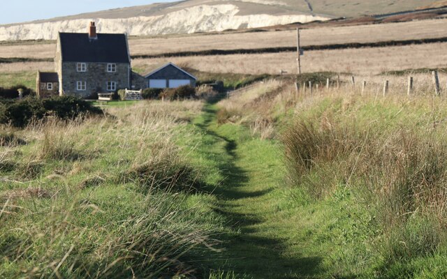
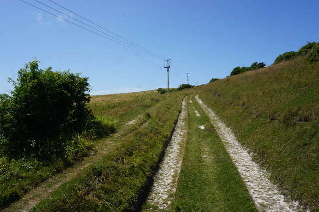
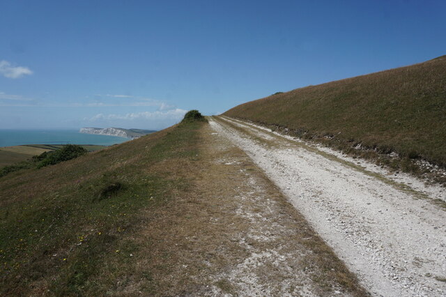
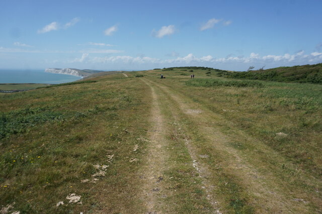
Hanover Point is a prominent coastal feature located in Hampshire, England. It is a headland that juts out into the English Channel, forming a point that offers breathtaking views of the surrounding coastline. Situated between the popular tourist destinations of Hayling Island and Portsmouth, Hanover Point is easily accessible and attracts visitors from near and far.

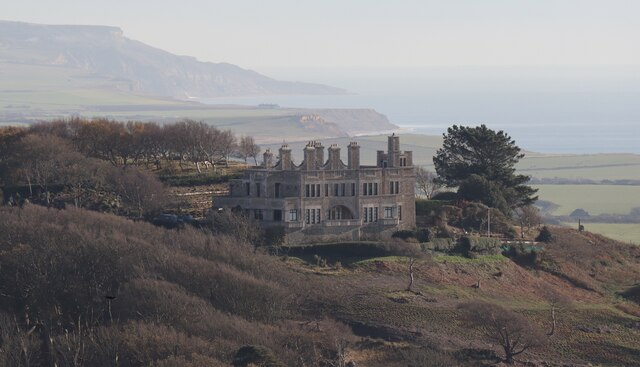
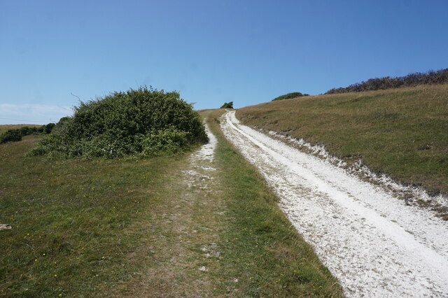
The headland is formed by a combination of sedimentary rocks and chalk cliffs, creating a picturesque backdrop against the deep blue waters of the channel. The cliffs rise to an impressive height, providing visitors with an elevated vantage point to observe the coastal landscape. The site is a popular spot for nature enthusiasts and photographers, who are drawn to the dramatic scenery and the abundance of wildlife that calls the area home.

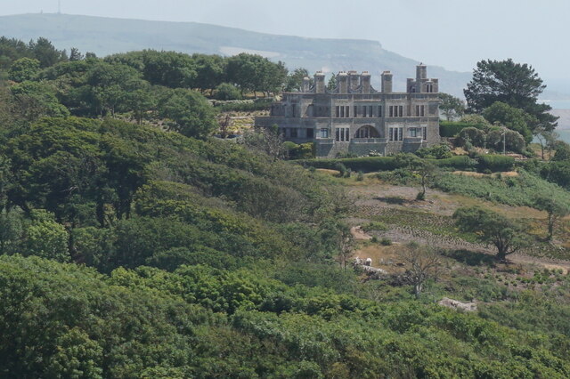
Hanover Point is also known for its historical significance. It played a crucial role during World War II as a strategic lookout point for the British military. Today, remnants of military structures, such as bunkers and gun emplacements, can still be seen, serving as a reminder of the area's wartime past.

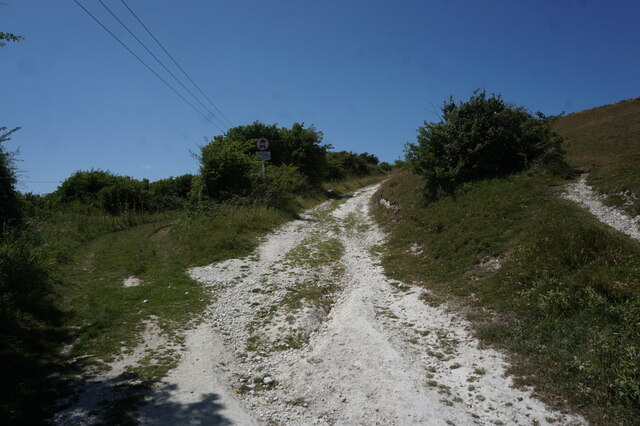
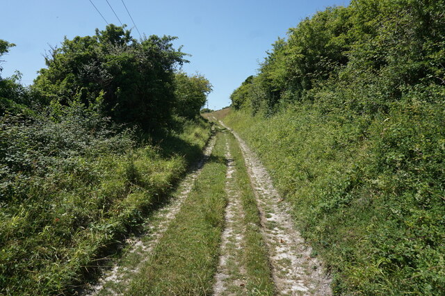
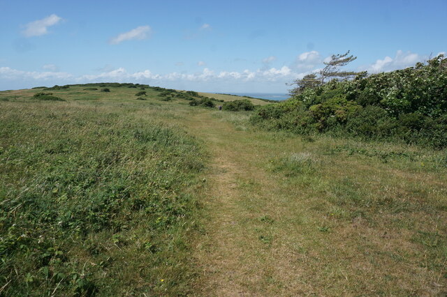
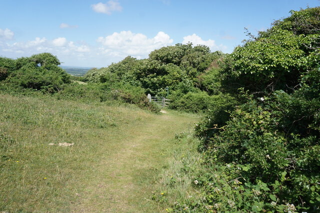
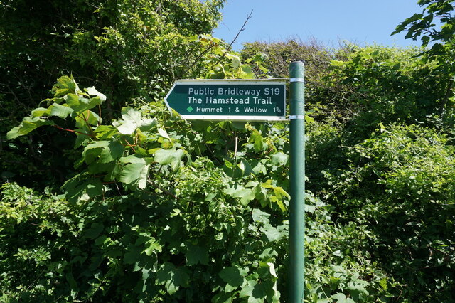
Visitors to Hanover Point can enjoy leisurely walks along the coastal path that passes through the headland, taking in the fresh sea breeze and stunning views. The site is also a popular destination for rock climbers, who are attracted to the challenging cliffs that offer a variety of routes for different skill levels.

In summary, Hanover Point is a captivating headland on the Hampshire coast, offering visitors a combination of natural beauty, historical significance, and recreational opportunities. Whether it's admiring the stunning views, exploring the remnants of WWII structures, or enjoying outdoor activities, Hanover Point has something to offer for everyone.

If you have any feedback on the listing, please let us know in the comments section below.

Hanover Point Images

Images are sourced within 2km of 50.652413/-1.4656905 or Grid Reference SZ3783. Thanks to Geograph Open Source API. All images are credited.

Climbing up from Compton Beach – 1978 Not the best of weather for an open-top bus trip, this was a special hire by a group of bus enthusiasts visiting the island.

Southern Vectis 702 is a Bristol K with ECW bodywork, new to the company in 1939 and converted for open top services in 1959. When this view was taken she was already approaching her 40th year of service with the company, and although seen here on a private charter, was still regularly used on normal services. In 2021, now affectionately called 'The Old Girl', she is still in service, although now only used for special private charter work. As such, she holds the UK, and possibly world, record for a bus in continuous service with the same operator.

This is one of a series of views featuring buses in the 60s, 70s, and 80s. <a title="https://www.geograph.org.uk/search.php?i=137652761" href="https://www.geograph.org.uk/search.php?i=137652761">Link</a>
Climbing up from Compton Beach – 1978
Not the best of weather for an open-top bus trip, this was a special hire by a group of bus enthusiasts visiting the island. Southern Vectis 702 is a Bristol K with ECW bodywork, new to the company in 1939 and converted for open top services in 1959. When this view was taken she was already approaching her 40th year of service with the company, and although seen here on a private charter, was still regularly used on normal services. In 2021, now affectionately called 'The Old Girl', she is still in service, although now only used for special private charter work. As such, she holds the UK, and possibly world, record for a bus in continuous service with the same operator. This is one of a series of views featuring buses in the 60s, 70s, and 80s. Link
Catching the breeze – 1978 A group of hardy bus enthusiasts enjoying a trip on a vintage open top bus climbing to the top of the cliffs just to the east of Freshwater.

Southern Vectis 702 is a Bristol K with ECW bodywork, new to the company in 1939 and converted for open top services in 1959. When this view was taken she was already approaching her 40th year of service with the company, and although seen here on a private charter, was still regularly used on normal services. In 2021, now affectionately called 'The Old Girl', she is still in service, although now only used for special private charter work. As such, she holds the UK, and possibly world, record for a bus in continuous service with the same operator.

This is one of a series of views featuring buses in the 60s, 70s, and 80s. <a title="https://www.geograph.org.uk/search.php?i=137652761" href="https://www.geograph.org.uk/search.php?i=137652761">Link</a>
Catching the breeze – 1978
A group of hardy bus enthusiasts enjoying a trip on a vintage open top bus climbing to the top of the cliffs just to the east of Freshwater. Southern Vectis 702 is a Bristol K with ECW bodywork, new to the company in 1939 and converted for open top services in 1959. When this view was taken she was already approaching her 40th year of service with the company, and although seen here on a private charter, was still regularly used on normal services. In 2021, now affectionately called 'The Old Girl', she is still in service, although now only used for special private charter work. As such, she holds the UK, and possibly world, record for a bus in continuous service with the same operator. This is one of a series of views featuring buses in the 60s, 70s, and 80s. Link
Grassy path from Brook This is Public Bridleway BS87, an extension of Coastguard Lane towards Compton Grange.
Grassy path from Brook
This is Public Bridleway BS87, an extension of Coastguard Lane towards Compton Grange.
The Tennyson Trail across Brook Down Offering wonderful views from the top of West Wight's chalkland spine, the Trail passes through the whole of the grid square en route to Tennyson Down.
The Tennyson Trail across Brook Down
Offering wonderful views from the top of West Wight's chalkland spine, the Trail passes through the whole of the grid square en route to Tennyson Down.
Brook Hill House A Grade 2-listed country house built in the early years of the 20th century for Charles Seely, 1st Baronet (1833-1915). The building became the home of writer J B Priestley between 1948 and 1959, and has since been converted into six apartments.
Brook Hill House
A Grade 2-listed country house built in the early years of the 20th century for Charles Seely, 1st Baronet (1833-1915). The building became the home of writer J B Priestley between 1948 and 1959, and has since been converted into six apartments.
Sunset seen from Shippards Chine
Tennyson Trail on Brook Down
Path on Brook Down
Path on Brook Down
Path on Brook Down
Path on Brook Down
Tennyson Trail on Brook Down
Brook Hill House from Brook Down
Tennyson Trail on Brook Down
View from Brook Down
Tennyson Trail on Brook Down
Hamstead Trail towards Wellow
Fingerpost on the Hamstead Trail
Hamstead Trail towards Wellow
Show me another place!

Hanover Point is located at Grid Ref: SZ3783 (Lat: 50.652413, Lng: -1.4656905)

Unitary Authority: Isle of Wight

Police Authority: Hampshire

What 3 Words

///dreams.anyway.prouder. Near Brighstone, Isle of Wight

Related Wikis

Brook Bay

Brook Bay is a bay on the south western coast of the Isle of Wight, England. It lies to the west of the village of Brook. It faces south west out into...

Brook, Isle of Wight

Brook is a village and former civil parish, now in the parish of Brighstone, on the Isle of Wight, England. In 1931 the parish had a population of 156...

Brookgreen

Brook Green is a small hamlet on the Isle of Wight located at Brook on the Back of the Wight. It is owned by the National Trust. == References ==

St Mary's Church, Brook

St Mary's Church, Brook is a parish church in the Church of England located in Brook, Isle of Wight. == History == The church dates from 1864 by the architect...

Hulverstone

Hulverstone is a hamlet of about 12 houses on the Isle of Wight on the edge of the English Channel. It has a post office in a private home and the 400...

Compton Bay

Compton Bay is a bay located on the southwest section of the Isle of Wight, England. Its northwestern edge is defined by the distinctive white chalk cliff...

Compton Down

Compton Down is a hill on the Isle of Wight just to the east of Freshwater Bay. It is part of the chalk ridge which forms the "backbone" of the Isle of...

1957 Aquila Airways Solent crash

The 1957 Aquila Airways Solent crash occurred on the Isle of Wight in England on 15 November. With 45 lives lost, at the time it was the second worst aircraft...

Nearby Amenities

Located within 500m of 50.652413,-1.4656905
Source: PGS
Lat/Long: 50.6514812/-1.4616298
Source: Bing
Lat/Long: 50.6549/-1.4670879
Bus Stop
Compton Bay
Bench: no
Bin: no
Bus: yes
Contact Website: https://www.islandbuses.info/stops/230000012120
Lit: no
Naptan AtcoCode: 230000012120
Naptan Bearing: NW
Naptan CommonName: Hanover Point
Naptan Indicator: towards Freshwater Bay
Naptan Landmark: National Trust Car Park
Naptan NaptanCode: iowjpdp
Naptan Street: Military Road
Public Transport: platform
Shelter: no
Source: naptan_import
Source Name: Southern Vectis
Tactile Paving: no
Lat/Long: 50.6551257/-1.4657589
Bus Stop
Compton Bay
Bench: no
Bin: no
Bus: yes
Contact Website: https://www.islandbuses.info/stops/230000013620
Lit: no
Naptan AtcoCode: 230000013620
Naptan Bearing: SE
Naptan BusStopType: CUS
Naptan CommonName: Hanover Point
Naptan Indicator: towards Newport
Naptan NaptanCode: iowmgmj
Naptan Street: Military Road
Public Transport: platform
Shelter: no
Source: naptan_import
Source Name: Southern Vectis
Tactile Paving: no
Lat/Long: 50.6552829/-1.4655649
Bicycle Parking
Hanover Point bike parking
Bicycle Parking: stands
Capacity: 8
Covered: no
Lat/Long: 50.6552588/-1.4662373
Seamark Type: beacon_special_purpose
Lat/Long: 50.6515402/-1.4647835
Disused Shop: yes
Lat/Long: 50.6552819/-1.4666068
Board Type: wildlife
Check Date: 2022-10-09
Information: board
Tourism: information
Lat/Long: 50.655103/-1.4661987
Vending Machine
Check Date: 2022-10-09
Vending: parking_tickets
Lat/Long: 50.6550333/-1.4663208
Hiking: yes
Information: guidepost
Tourism: information
Lat/Long: 50.6524379/-1.4608611
Defibrillator
Check Date: 2023-10-22
Emergency: defibrillator
Lat/Long: 50.6552914/-1.4660358
The data included in this document is from www.openstreetmap.org. The data is made available under ODbL.

Have you been to Hanover Point?

Leave your review of Hanover Point below (or comments, questions and feedback).