Copthurst, Lower

Settlement in Lancashire Chorley

England

Copthurst, Lower

Knowley Bridge The Leeds and Liverpool Canal outside Chorley.
Knowley Bridge Credit: Richard Webb

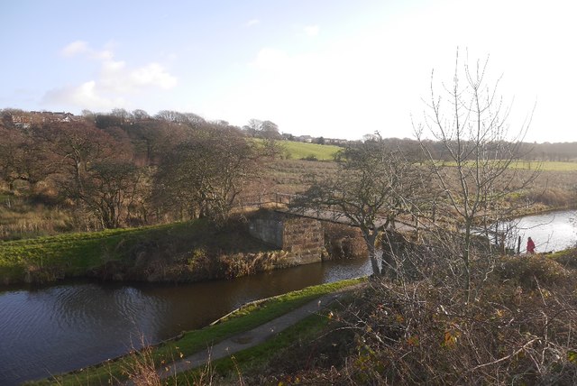
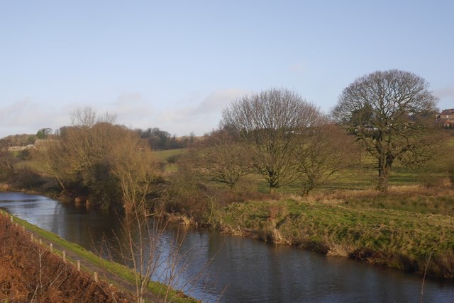
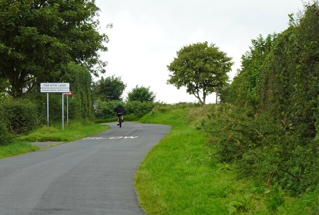
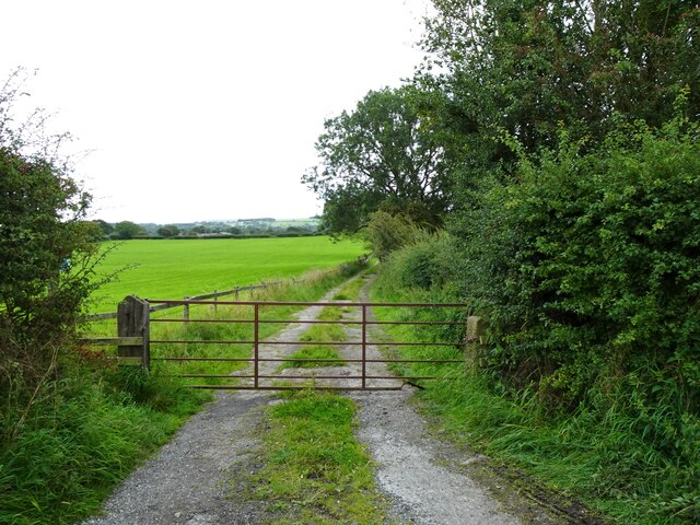
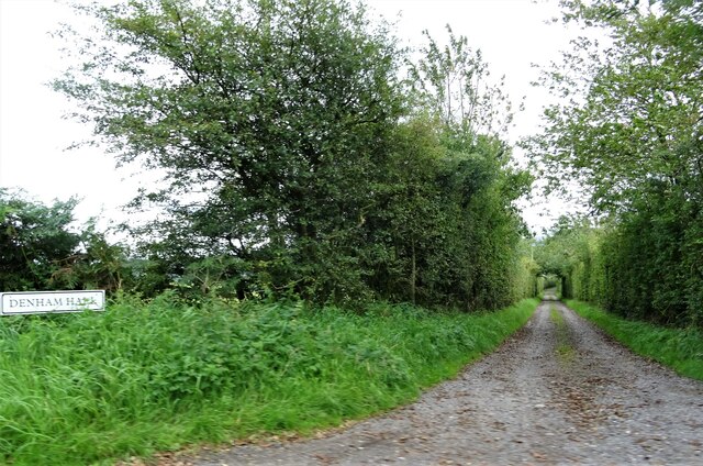
Copthurst is a small village located in the Lower area of Lancashire, England. It is situated in the picturesque countryside, surrounded by rolling hills and lush green fields. The village is part of the larger civil parish of Lower Copthurst, which also includes several nearby hamlets.

With a population of just over 500 residents, Copthurst has a close-knit community where many families have lived for generations. The village is known for its charming cottages and quaint atmosphere, offering a peaceful and idyllic setting for those seeking a retreat from the hustle and bustle of city life.

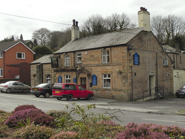
Despite its small size, Copthurst has a few amenities to cater to the needs of its residents. These include a local pub, which serves as a social hub for the community, and a small convenience store that provides essential groceries. Additionally, the village has a primary school, ensuring that the educational needs of the younger population are met.

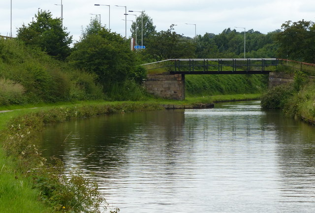
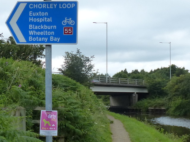
For outdoor enthusiasts, Copthurst offers ample opportunities for exploration and leisure activities. The surrounding countryside is crisscrossed with footpaths and bridleways, making it an ideal location for walking, cycling, and horse riding. Nature lovers will also appreciate the abundance of wildlife that can be found in the area, including various species of birds and small mammals.

Overall, Copthurst is a charming and peaceful village that provides a serene lifestyle in a beautiful rural setting. Its strong sense of community and natural surroundings make it an attractive place to live for those seeking a slower pace of life.

If you have any feedback on the listing, please let us know in the comments section below.

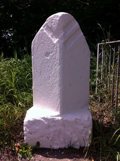
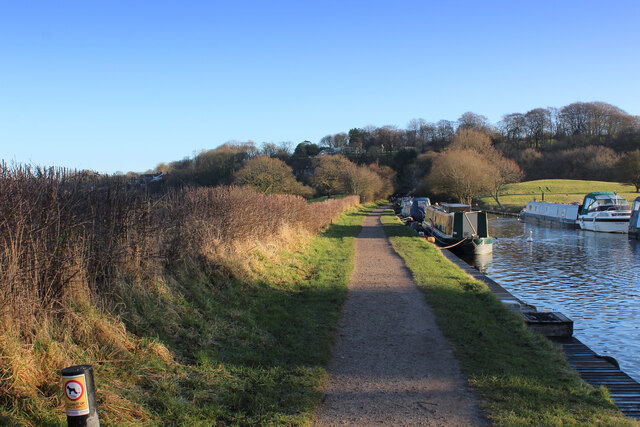
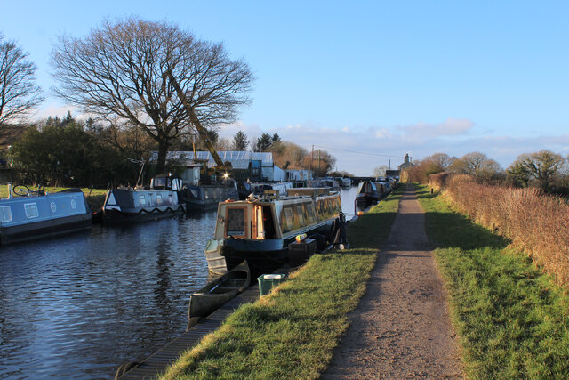
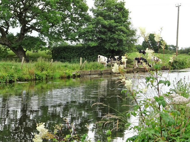
Copthurst, Lower Images

Images are sourced within 2km of 53.68836/-2.616275 or Grid Reference SD5921. Thanks to Geograph Open Source API. All images are credited.

Knowley Bridge The Leeds and Liverpool Canal outside Chorley.
Knowley Bridge
The Leeds and Liverpool Canal outside Chorley.
Leeds and Liverpool Canal The famously scenic canal passes Great Knowley.
Leeds and Liverpool Canal
The famously scenic canal passes Great Knowley.
Knowley Bridge No 79 Carrying a public footpath across the Leeds and Liverpool Canal near Chorley.
Knowley Bridge No 79
Carrying a public footpath across the Leeds and Liverpool Canal near Chorley.
A674 Bridge No 79a The Leeds and Liverpool Canal is the longest canal in Northern England at 127 miles long. The first of the trans-Pennine canals it took 46 years to build at a cost of five times the original budget, mainly because of the length and complexity of the route. It passes through 91 locks with a summit level of 487 feet at Foulridge near Nelson and Colne. It was originally conceived in the 18th century to carry woollen goods from Leeds and Bradford and limestone from Skipton but in its 19th century heyday it carried stone, coal and many other goods. The impact of the railways was not as great as with other canals and commercial traffic continued along the main canal until 1964. Regular work stopped in 1972 when the movement of coal to Wigan Power Station ceased. In the latter part of the 20th century the leisure potential of the canal was developed and it is now a popular destination for cruising, fishing, walking and cycling. See <span class="nowrap"><a title="http://www.penninewaterways.co.uk/ll/index.htm" rel="nofollow ugc noopener" href="http://www.penninewaterways.co.uk/ll/index.htm">Link</a><img style="margin-left:2px;" alt="External link" title="External link - shift click to open in new window" src="https://s1.geograph.org.uk/img/external.png" width="10" height="10"/></span> for detailed information.
A674 Bridge No 79a
The Leeds and Liverpool Canal is the longest canal in Northern England at 127 miles long. The first of the trans-Pennine canals it took 46 years to build at a cost of five times the original budget, mainly because of the length and complexity of the route. It passes through 91 locks with a summit level of 487 feet at Foulridge near Nelson and Colne. It was originally conceived in the 18th century to carry woollen goods from Leeds and Bradford and limestone from Skipton but in its 19th century heyday it carried stone, coal and many other goods. The impact of the railways was not as great as with other canals and commercial traffic continued along the main canal until 1964. Regular work stopped in 1972 when the movement of coal to Wigan Power Station ceased. In the latter part of the 20th century the leisure potential of the canal was developed and it is now a popular destination for cruising, fishing, walking and cycling. See LinkExternal link for detailed information.
Old Boundary Marker by the B6228, Blackburn Road, Chorley Parish Parish Boundary Marker by the B6228 (was A674), in parish of Chorley (Chorley District), North of Great Knowley, hidden in grass just South of metal railings by bridge, West side of road.

Surveyed

Milestone Society National ID: LA_CYBB01pb
Old Boundary Marker by the B6228, Blackburn Road, Chorley Parish
Parish Boundary Marker by the B6228 (was A674), in parish of Chorley (Chorley District), North of Great Knowley, hidden in grass just South of metal railings by bridge, West side of road. Surveyed Milestone Society National ID: LA_CYBB01pb
Leeds and Liverpool Canal at Johnson's Hillock Top The canal towpath passing the private moorings of Wheelton Boat Club
Leeds and Liverpool Canal at Johnson's Hillock Top
The canal towpath passing the private moorings of Wheelton Boat Club
Approaching the Locks at Johnson's Hillock Top The Leeds and Liverpool Canal near Wheelton - between Chorley and Blackburn
Approaching the Locks at Johnson's Hillock Top
The Leeds and Liverpool Canal near Wheelton - between Chorley and Blackburn
Leeds and Liverpool Canal At Top Lock near Wheelton.
Leeds and Liverpool Canal
At Top Lock near Wheelton.
The Top Lock A pub by the Leeds and Liverpool Canal near Wheelton.
The Top Lock
A pub by the Leeds and Liverpool Canal near Wheelton.
Mown field A hay crop will have been recently harvested here by the Leeds and Liverpool Canal.
Mown field
A hay crop will have been recently harvested here by the Leeds and Liverpool Canal.
Canal towpath At Top Lock Bridge near Wheelton.
Canal towpath
At Top Lock Bridge near Wheelton.
Unmown field Probably shortly to be mown for hay.
Unmown field
Probably shortly to be mown for hay.
Wheelton Boatyard On the Leeds and Liverpool Canal.
Wheelton Boatyard
On the Leeds and Liverpool Canal.
Cattle by the canal Young bovines by the edge of the Leeds and Liverpool Canal.
Cattle by the canal
Young bovines by the edge of the Leeds and Liverpool Canal.
Approaching Top o'th' Lane A small hamlet near Brindle in Lancashire.
Approaching Top o'th' Lane
A small hamlet near Brindle in Lancashire.
Track off Denham Lane Also a public footpath leading to Breworth Fold Farm and beyond.
Track off Denham Lane
Also a public footpath leading to Breworth Fold Farm and beyond.
Track leading to Denham Hall Leading off Denham Lane.
Track leading to Denham Hall
Leading off Denham Lane.
Old Milestone, A6, Preston Road, Junction with Swansey Lane The milestone is located on the East side of the road by Swansey Car Sales, in the pavement by car sales parking area. Parish of Whittle Le Woods (Chorley District). Metal plate attached to stone post, Preston wedge design. Erected by the Wigan & Preston (North of Yarrow) turnpike trust in the 19th century. 

Inscription reads:-
: TO / CHORLEY / 3 / MILES : : TO / PRESTON / 6 / MILES :
Carved benchmark and pivot top left.

Milestone Society National ID: LA_CYPS03
Old Milestone, A6, Preston Road, Junction with Swansey Lane
The milestone is located on the East side of the road by Swansey Car Sales, in the pavement by car sales parking area. Parish of Whittle Le Woods (Chorley District). Metal plate attached to stone post, Preston wedge design. Erected by the Wigan & Preston (North of Yarrow) turnpike trust in the 19th century. Inscription reads:- : TO / CHORLEY / 3 / MILES : : TO / PRESTON / 6 / MILES : Carved benchmark and pivot top left. Milestone Society National ID: LA_CYPS03
Show me another place!

Copthurst, Lower is located at Grid Ref: SD5921 (Lat: 53.68836, Lng: -2.616275)

Administrative County: Lancashire
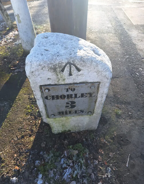
District: Chorley

Police Authority: Lancashire

What 3 Words

///legal.complains.intrigued. Near Brinscall, Lancashire

Related Wikis

Wheelton

Wheelton is a village and civil parish of the Borough of Chorley, in Lancashire, England. According to the United Kingdom Census 2001 it has a population...

Lucas Green, Lancashire

Lucas Green is a village in Lancashire, England. == References == The geographic coordinates are from the Ordnance Survey.

Whittle-le-Woods

Whittle-le-Woods (commonly shortened to Whittle) is a village and civil parish of the Borough of Chorley in Lancashire, England. The population of the...

Shaw Hill

Shaw Hill is an 18th-century country house in Whittle-le-Woods, Lancashire, England, standing in 192 acres of parkland some 3 miles (5 km) north of Chorley...

Nearby Amenities

Located within 500m of 53.68836,-2.616275
Waste Disposal
Lat/Long: 53.6873067/-2.6127527
Noexit: yes
Lat/Long: 53.68675/-2.6135016
Denham Springs Farm
Operator: J & PA Baldwin & Sons
Place: farm
Lat/Long: 53.6887545/-2.6180506
D.Mayor & Son Coal Merchants
Fuel Coal: yes
Fuel Gas: yes
Mapillary: jIp8CmnV2WmitII8clucqg
Opening Hours: Mo-Sa 09:00-12:30
Phone: +44 1257 262452
Shop: fuel
Website: https://www.dmayorandson.co.uk/
Lat/Long: 53.6883868/-2.6145637
Barrier: stile
Foot: yes
Material: wood
Stile: stepover
Lat/Long: 53.68822/-2.6181968
The data included in this document is from www.openstreetmap.org. The data is made available under ODbL.

Have you been to Copthurst, Lower?

Leave your review of Copthurst, Lower below (or comments, questions and feedback).