Ire Geo
Coastal Feature, Headland, Point in Shetland
Scotland
Ire Geo
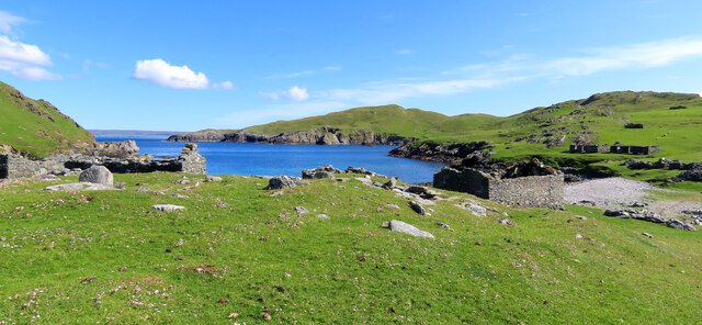
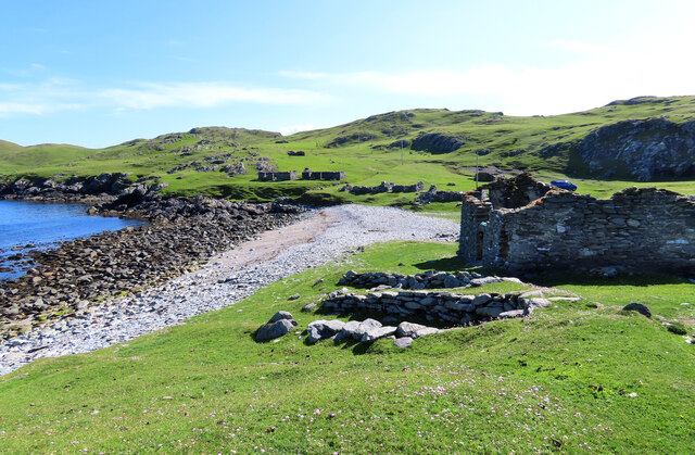
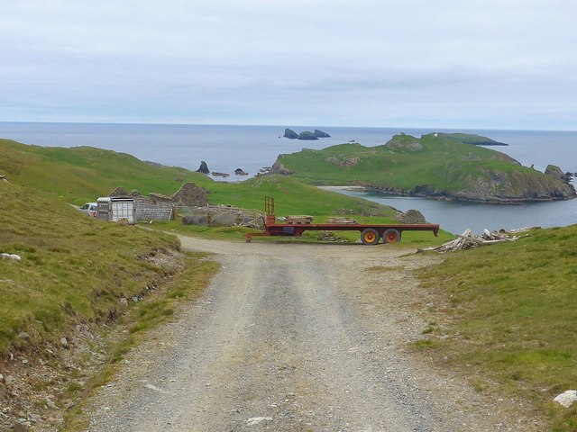
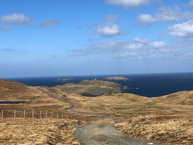
Ire Geo is a prominent coastal feature located in the Shetland Islands, an archipelago off the northern coast of Scotland. It is classified as a headland and point, jutting out into the North Sea. Ire Geo is situated on the west side of the Shetland Mainland, near the village of Walls.
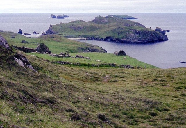
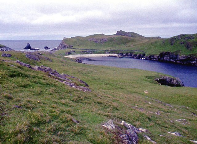
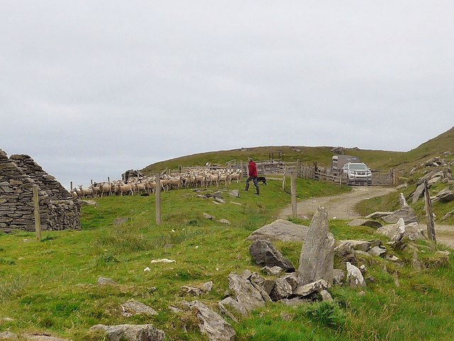
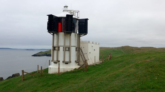
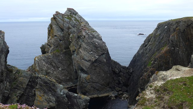
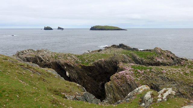
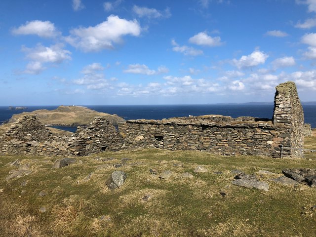
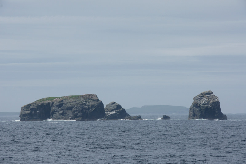
This coastal feature is characterized by its rugged cliffs and rocky shoreline, which are typical of the Shetland Islands' geology. The cliffs at Ire Geo rise steeply from the sea, offering stunning views of the surrounding landscape. The area is known for its dramatic scenery, with the crashing waves of the North Sea often creating a powerful spectacle.
Ire Geo is also home to a variety of wildlife, including seabirds such as puffins, guillemots, and fulmars. The rich marine environment around the headland attracts seals, dolphins, and occasionally even whales.
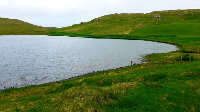
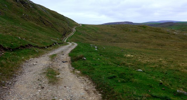
The location of Ire Geo makes it a popular spot for outdoor activities such as hiking and birdwatching. There are several walking trails that lead to the headland, allowing visitors to explore the area and take in the breathtaking views. The cliffs are often used by climbers, providing a challenging and rewarding experience for those seeking an adrenaline rush.
Overall, Ire Geo is a stunning coastal feature in the Shetland Islands, offering a unique blend of natural beauty, wildlife, and outdoor recreational opportunities. Its rugged cliffs and picturesque surroundings make it a must-visit destination for nature enthusiasts and adventure seekers alike.
If you have any feedback on the listing, please let us know in the comments section below.
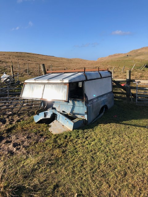
Ire Geo Images
Images are sourced within 2km of 60.624725/-1.3337887 or Grid Reference HU3693. Thanks to Geograph Open Source API. All images are credited.


Ire Geo is located at Grid Ref: HU3693 (Lat: 60.624725, Lng: -1.3337887)
Unitary Authority: Shetland Islands
Police Authority: Highlands and Islands
What 3 Words
///than.stag.straw. Near Ulsta, Shetland Islands
Nearby Locations
Related Wikis

Fethaland
Fethaland or Fedeland (pronounced [ˈfeɪdələnd]) is an abandoned settlement at the extreme north end of Mainland, Shetland. It was the site of the largest...

Gruney
Gruney is a small, uninhabited island in Shetland, Scotland. It lies north of the Northmavine peninsula of the Shetland Mainland, from which it is separated...

North Roe
North Roe is a village, and protected area at the northern tip in the large Northmavine peninsula of the Mainland of Shetland, Scotland. It is a small...
Ramna Stacks
The Ramna Stacks are a group of skerries in the Shetland islands. They are north of the northern tip of Mainland, and along with nearby Gruney they are...

Uyea, Northmavine
Uyea (Scots: Öya in Shetland dialect spelling) is an uninhabited tidal island located to the northwest of Mainland, Shetland. Uyea lies off the Northmavine...

Muckle Holm, Yell Sound
Muckle Holm is a small island in Shetland. It is in Yell Sound, near the Northmavine. It is 23 metres (75 ft) at its highest point. There is a lighthouse...

Yell Sound
Yell Sound is the strait running between Yell and Mainland, Shetland, Scotland. It is the boundary between the Mainland and the North Isles and it contains...

Little Holm, Yell Sound
Little Holm is a small island in Yell Sound, in Shetland, Scotland. It lies between Northmavine and the island of Yell. There is a lighthouse here. In...
Have you been to Ire Geo?
Leave your review of Ire Geo below (or comments, questions and feedback).