South Geo
Coastal Feature, Headland, Point in Shetland
Scotland
South Geo
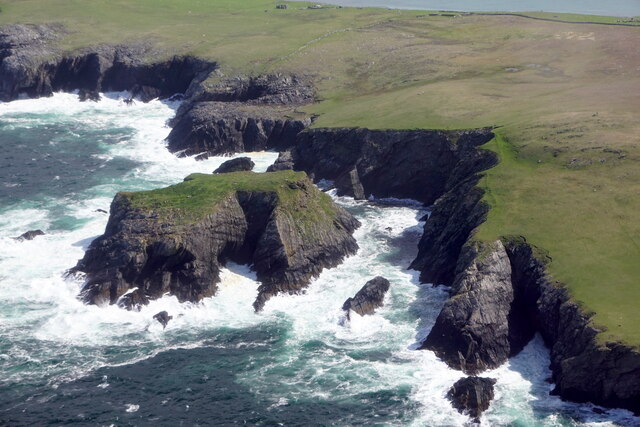
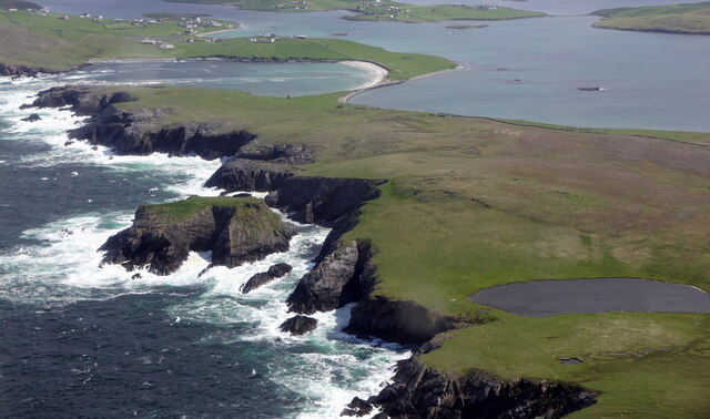
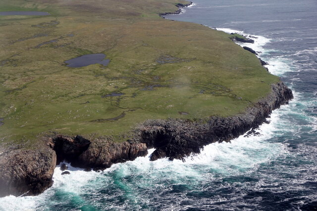
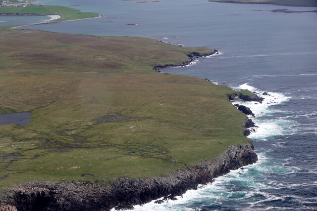
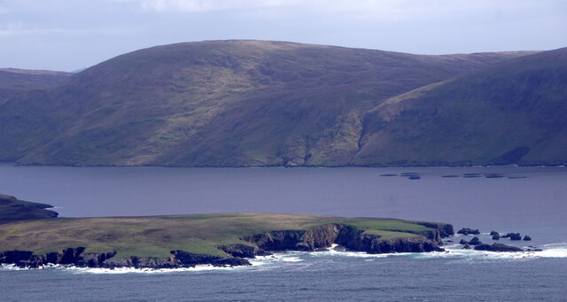
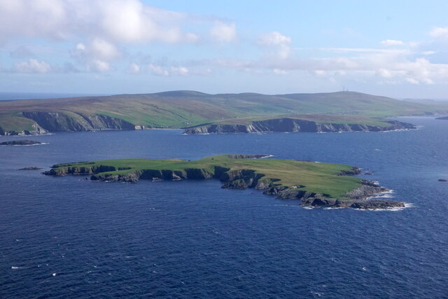
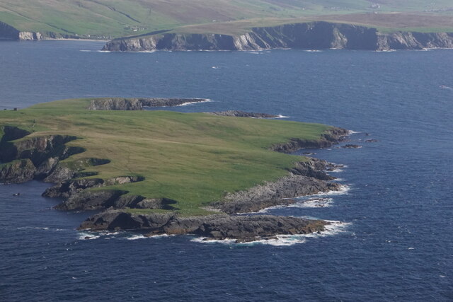
South Geo is a prominent coastal feature located on the southern coast of Shetland, an archipelago in Scotland. It is specifically classified as a headland or point, and holds significant geological and natural importance in the region.
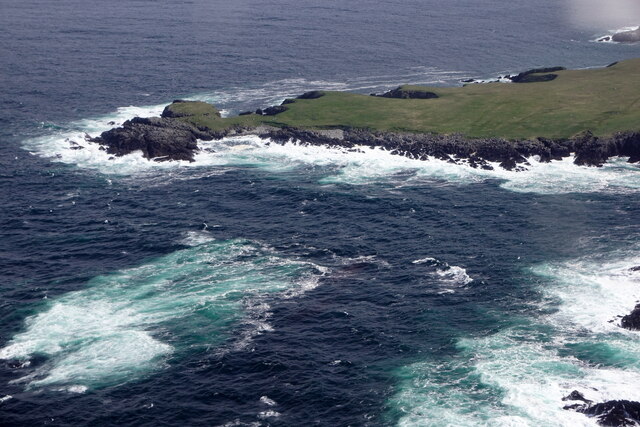
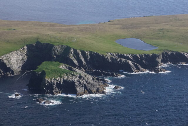
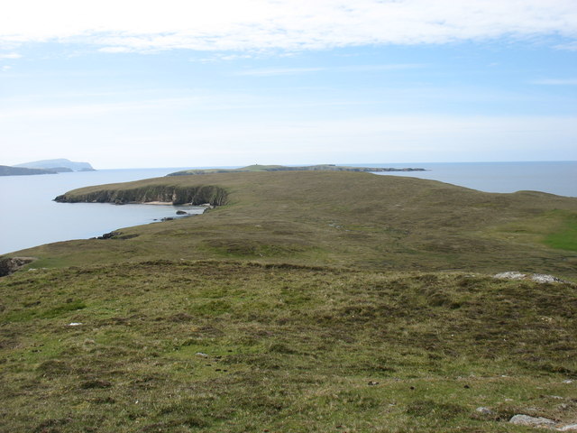
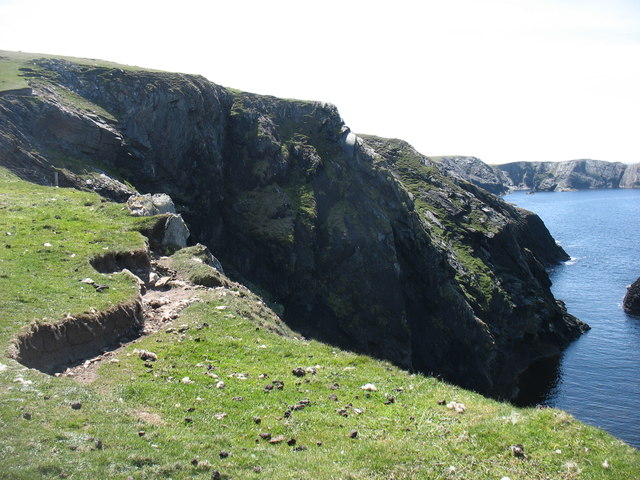
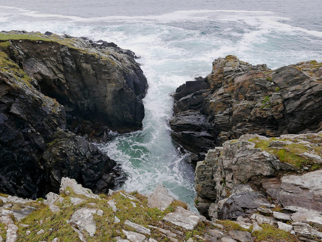
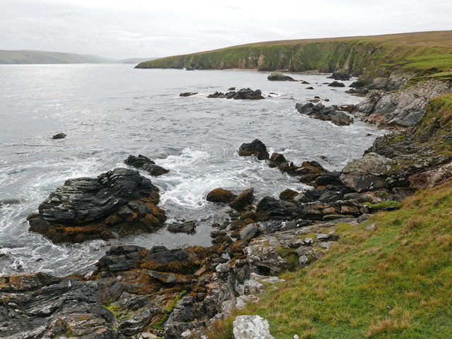
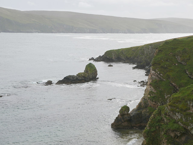
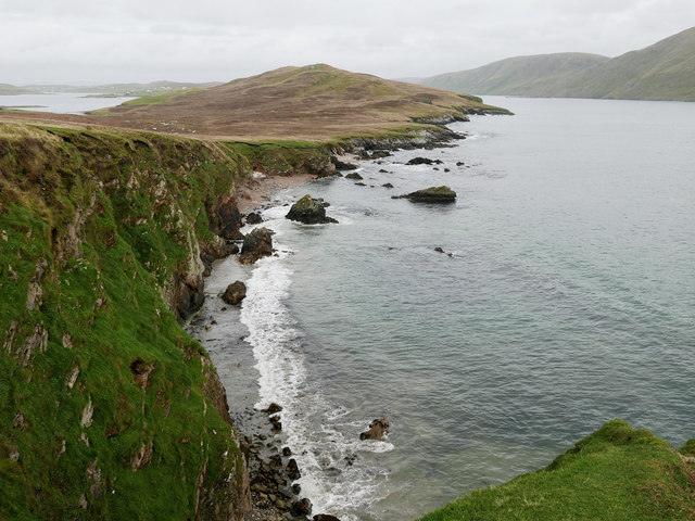
Stretching over a length of approximately 500 meters, South Geo is composed of steep cliffs that rise dramatically from the surrounding waters of the North Atlantic Ocean. These cliffs, formed by the erosion of sedimentary rocks, reach heights of up to 60 meters in some areas. The rugged nature of the cliffs provides nesting sites for various seabirds, including fulmars, kittiwakes, and guillemots, making it an ideal spot for birdwatching enthusiasts.
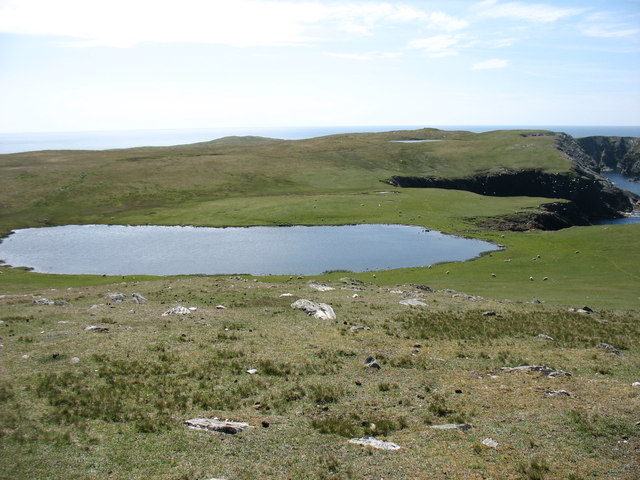
The coastline at South Geo is characterized by its rocky terrain, with scattered boulders and pebbles lining the shoreline. Access to the water is challenging due to the steepness of the cliffs, making it unsuitable for swimming or recreational activities. However, the impressive views from the top of the cliffs offer visitors a mesmerizing panorama of the ocean and the surrounding landscape.
South Geo, being a headland, also serves as a natural barrier against the powerful waves of the Atlantic, providing some protection to the adjacent coastline. The constant interaction between the ocean and the cliffs has shaped the land over time, creating unique geological formations and caves that add to the allure of the area.
Overall, South Geo stands as a remarkable coastal feature and point of interest in Shetland, showcasing the raw beauty and power of nature in this remote and stunning part of Scotland.
If you have any feedback on the listing, please let us know in the comments section below.
South Geo Images
Images are sourced within 2km of 60.043885/-1.3596824 or Grid Reference HU3528. Thanks to Geograph Open Source API. All images are credited.


South Geo is located at Grid Ref: HU3528 (Lat: 60.043885, Lng: -1.3596824)
Unitary Authority: Shetland Islands
Police Authority: Highlands and Islands
What 3 Words
///combines.version.rules. Near Sandwick, Shetland Islands
Nearby Locations
Related Wikis

South Havra
South Havra (Scots: Sooth Haevra; Old Norse: Hafrey), formerly Hevera, is an uninhabited island in the Scalloway Islands, Shetland, Scotland. == Geography... ==

Little Havra
Little Havra is a small island off the west of South Mainland in Shetland. It is 35 metres (115 ft) at its highest point, upon which there is a cairn....

West Burra
West Burra is one of the Scalloway Islands, a subgroup of the Shetland Islands in Scotland. It is connected by bridge to East Burra. With an area of 743...

Burra, Shetland
Burra (Old Norse: Barrey ) is the collective name for two of the Shetland Islands, West (pop. 753) and East Burra (pop. 66), which are connected by bridge...

Scalloway Islands
The Scalloway Islands are in Shetland opposite Scalloway on south west of the Mainland. They form a mini-archipelago and include: Burra (two islands linked...

South Mainland
The South Mainland of the Shetland Islands is the southern peninsula of Mainland island. It lies south of Hellister (60° 14′N). The greater southern part...
East Burra
East Burra (Scots: East Burra; Old Norse: "Barrey") is one of the Scalloway Islands, a subgroup of the Shetland Islands in Scotland. It is connected by...

Catpund
Catpund is a quarry site in Shetland, Scotland, where steatite vessels were cut from the rock from prehistory onwards. The quarrying marks are still visible...
Have you been to South Geo?
Leave your review of South Geo below (or comments, questions and feedback).