Groot Ness
Coastal Feature, Headland, Point in Shetland
Scotland
Groot Ness
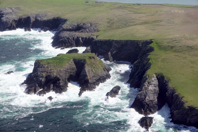
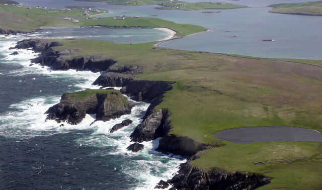
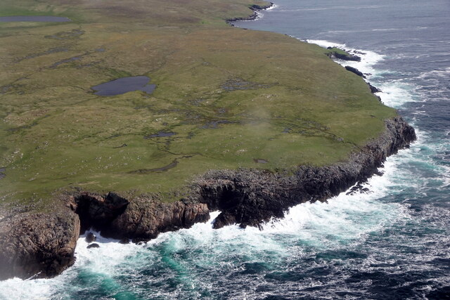
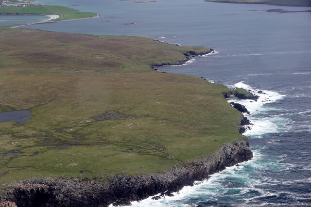
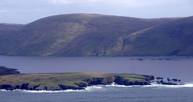
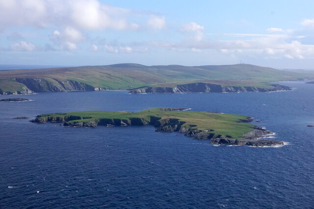
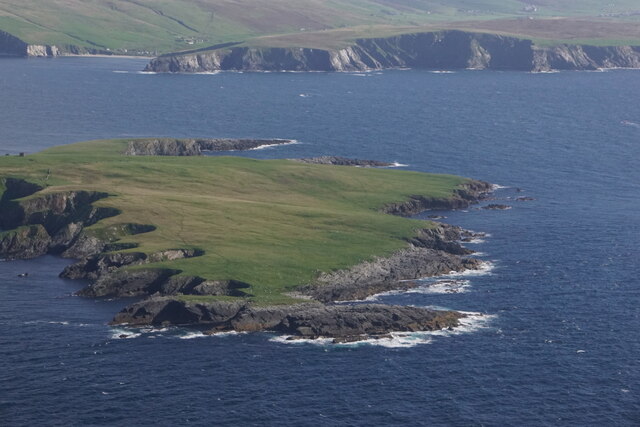
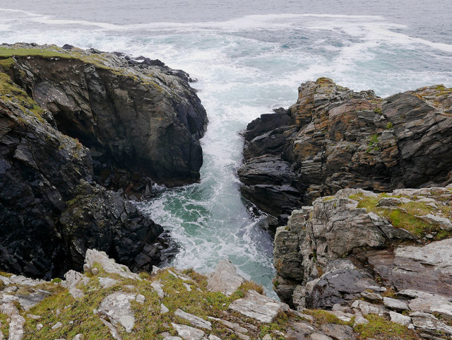
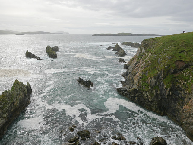
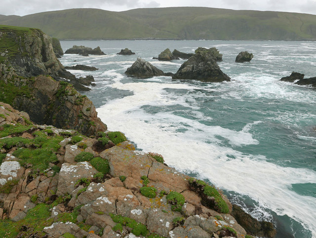
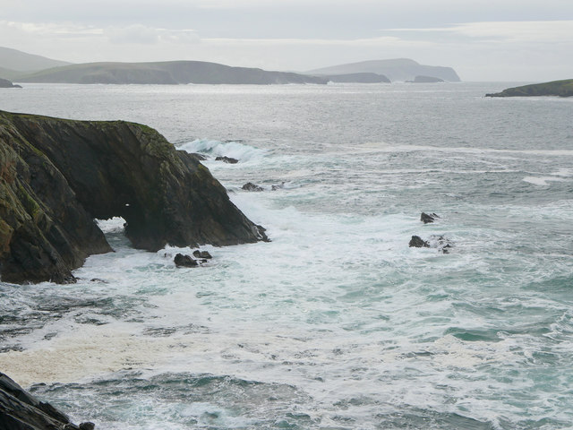
Groot Ness is a prominent coastal feature located on the island of Shetland, which is part of Scotland. It is a headland that juts out into the North Sea, forming a distinctive and visually captivating point along the rugged coastline. The name "Groot Ness" is derived from Old Norse, reflecting the island's Viking heritage.
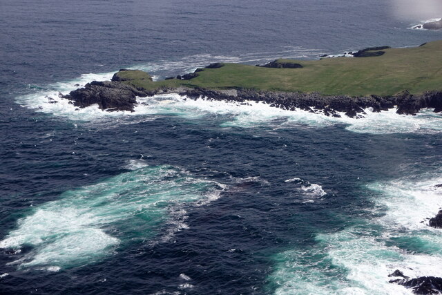
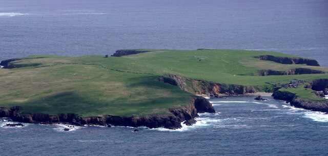
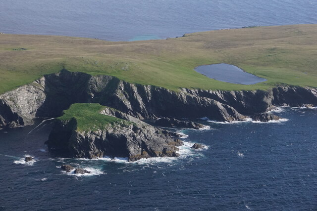
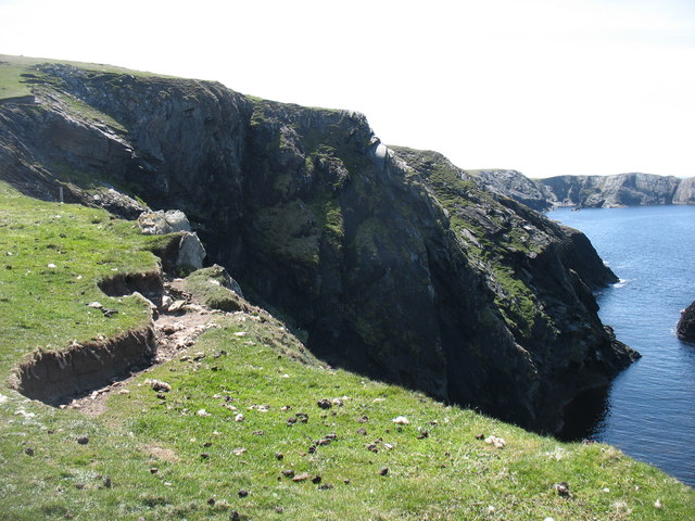
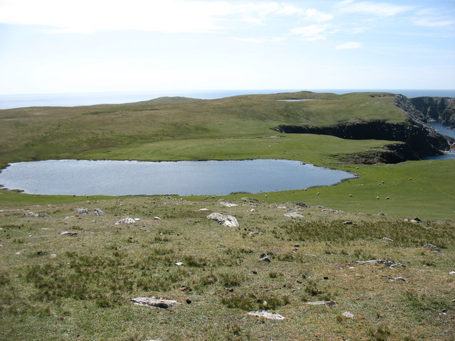
The headland is characterized by its steep cliffs that rise dramatically from the sea, offering a breathtaking view of the surrounding waters. These cliffs are composed of ancient sedimentary rocks, showcasing layers of different geological formations. The rugged nature of Groot Ness makes it a popular spot for nature enthusiasts and photographers who are drawn to its striking beauty.
The area surrounding Groot Ness is abundant in diverse marine life, creating a thriving ecosystem. Seabirds such as puffins, guillemots, and fulmars can often be seen nesting on the cliffs, while seals can be spotted basking on the nearby rocks. The surrounding waters are home to various fish species, providing a rich feeding ground for seabirds and marine mammals alike.
Groot Ness is also steeped in history, with archaeological evidence suggesting human occupation on the headland dating back to the Iron Age. The remains of ancient settlements and structures have been discovered in the vicinity, adding to the cultural significance of the area.
Overall, Groot Ness is a captivating coastal feature that combines natural beauty, diverse wildlife, and historical importance. Its striking cliffs, abundant marine life, and rich history make it a must-visit destination for those exploring the unique landscapes of Shetland.
If you have any feedback on the listing, please let us know in the comments section below.
Groot Ness Images
Images are sourced within 2km of 60.041437/-1.3696925 or Grid Reference HU3528. Thanks to Geograph Open Source API. All images are credited.


Groot Ness is located at Grid Ref: HU3528 (Lat: 60.041437, Lng: -1.3696925)
Unitary Authority: Shetland Islands
Police Authority: Highlands and Islands
What 3 Words
///rationing.respect.approvals. Near Sandwick, Shetland Islands
Nearby Locations
Related Wikis

South Havra
South Havra (Scots: Sooth Haevra; Old Norse: Hafrey), formerly Hevera, is an uninhabited island in the Scalloway Islands, Shetland, Scotland. == Geography... ==

Little Havra
Little Havra is a small island off the west of South Mainland in Shetland. It is 35 metres (115 ft) at its highest point, upon which there is a cairn....

West Burra
West Burra is one of the Scalloway Islands, a subgroup of the Shetland Islands in Scotland. It is connected by bridge to East Burra. With an area of 743...

Burra, Shetland
Burra (Old Norse: Barrey ) is the collective name for two of the Shetland Islands, West (pop. 753) and East Burra (pop. 66), which are connected by bridge...

Scalloway Islands
The Scalloway Islands are in Shetland opposite Scalloway on south west of the Mainland. They form a mini-archipelago and include: Burra (two islands linked...

South Mainland
The South Mainland of the Shetland Islands is the southern peninsula of Mainland island. It lies south of Hellister (60° 14′N). The greater southern part...
East Burra
East Burra (Scots: East Burra; Old Norse: "Barrey") is one of the Scalloway Islands, a subgroup of the Shetland Islands in Scotland. It is connected by...

Catpund
Catpund is a quarry site in Shetland, Scotland, where steatite vessels were cut from the rock from prehistory onwards. The quarrying marks are still visible...
Have you been to Groot Ness?
Leave your review of Groot Ness below (or comments, questions and feedback).