Bilna Stanes
Coastal Feature, Headland, Point in Shetland
Scotland
Bilna Stanes

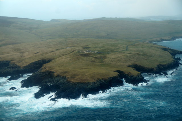
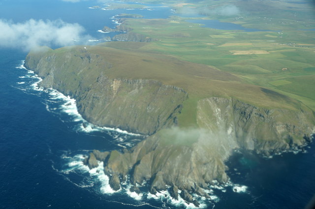
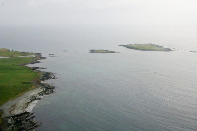
Bilna Stanes is a prominent coastal feature located in the Shetland Islands, an archipelago off the northeast coast of Scotland. It is specifically categorized as a headland or point due to its distinctive shape and geographical characteristics.
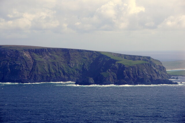
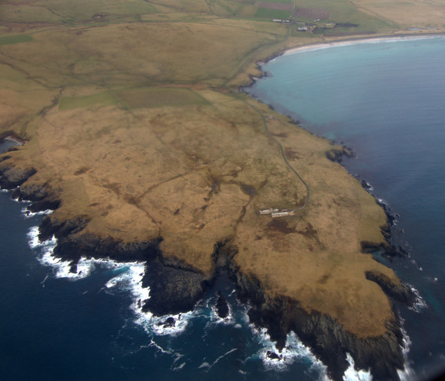
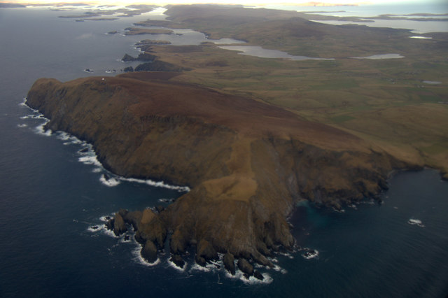
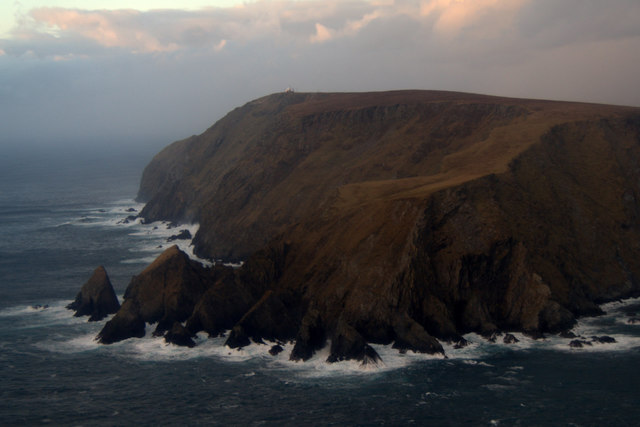
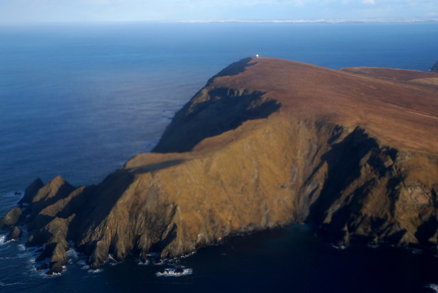
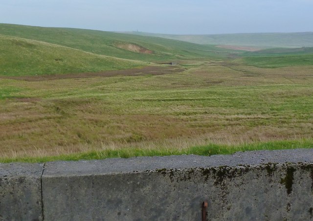
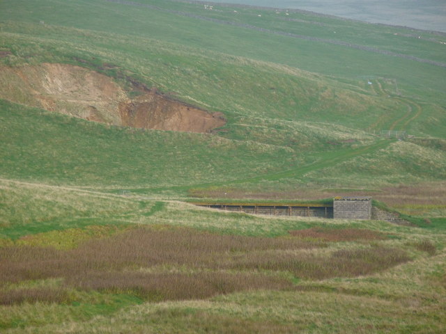
Situated on the southern coast of the Shetland Mainland, Bilna Stanes stands tall and rugged, jutting out into the North Sea. The headland is composed of a series of towering cliffs and rocky outcrops, forming a dramatic and picturesque landscape. These cliffs can reach heights of up to 200 feet, providing a commanding view of the surrounding coastline and sea.
Bilna Stanes is known for its unique geological formations, with layers of sedimentary rock visible in the exposed cliffs. These rock formations provide valuable insights into the region's geological history, dating back millions of years.
The headland also offers a diverse range of flora and fauna, making it an important habitat for various species. Seabirds, such as puffins and guillemots, can often be spotted nesting on the rocky ledges, while seals and otters can be seen swimming in the waters below.
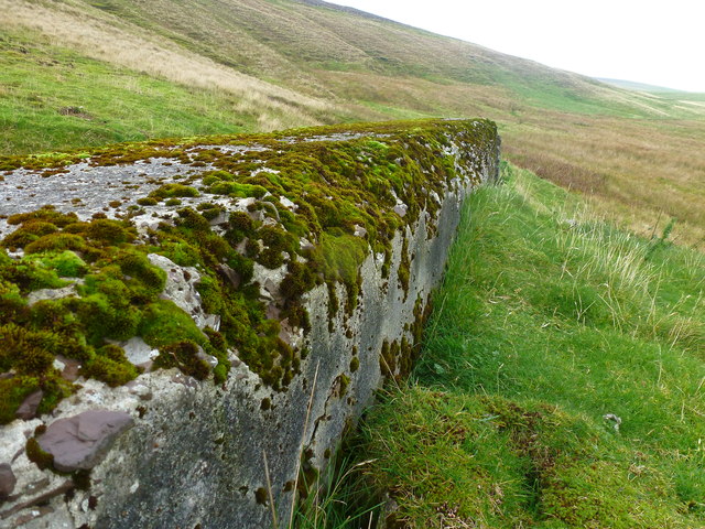
Bilna Stanes is a popular destination for nature enthusiasts, hikers, and photographers, who are drawn to its scenic beauty and wildlife. Visitors can explore the headland on foot, following coastal trails that offer breathtaking views of the surrounding area. It is recommended to exercise caution while exploring Bilna Stanes, as the cliffs can be steep and slippery in certain areas.
Overall, Bilna Stanes is a remarkable coastal feature that showcases the natural beauty and geological diversity of the Shetland Islands.
If you have any feedback on the listing, please let us know in the comments section below.
Bilna Stanes Images
Images are sourced within 2km of 59.889857/-1.3770851 or Grid Reference HU3411. Thanks to Geograph Open Source API. All images are credited.


Bilna Stanes is located at Grid Ref: HU3411 (Lat: 59.889857, Lng: -1.3770851)
Unitary Authority: Shetland Islands
Police Authority: Highlands and Islands
What 3 Words
///growth.ruin.chuck. Near Sumburgh, Shetland Islands
Nearby Locations
Related Wikis

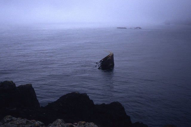
MV Braer
The MV Braer was an oil tanker which ran aground during a storm off Shetland, Scotland, in January 1993, and nearly a week later broke up during the most...

Fitful Head
Fitful Head is a 283-metre-high (928 ft) headland at the southwest corner of Mainland, Shetland, Scotland, some 6 kilometres (3.7 mi) northwest of the...
Lady's Holm
Lady's Holm is an island off southern Mainland in the Shetland Islands. It is not to be confused with the Maiden Stack, which is also known as "Frau Stack...
Little Holm, Dunrossness
Little Holm is a small island to the west of South Mainland in Shetland. It is near Scatness and Lady's Holm. A trawler was wrecked there in 1916. ��2...

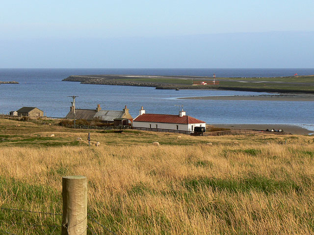
Toab, Shetland
Toab is the southernmost village on Mainland, Shetland, Scotland. It is part of Virkie and overlooks Sumburgh Airport. Toab is within the parish of Dunrossness...

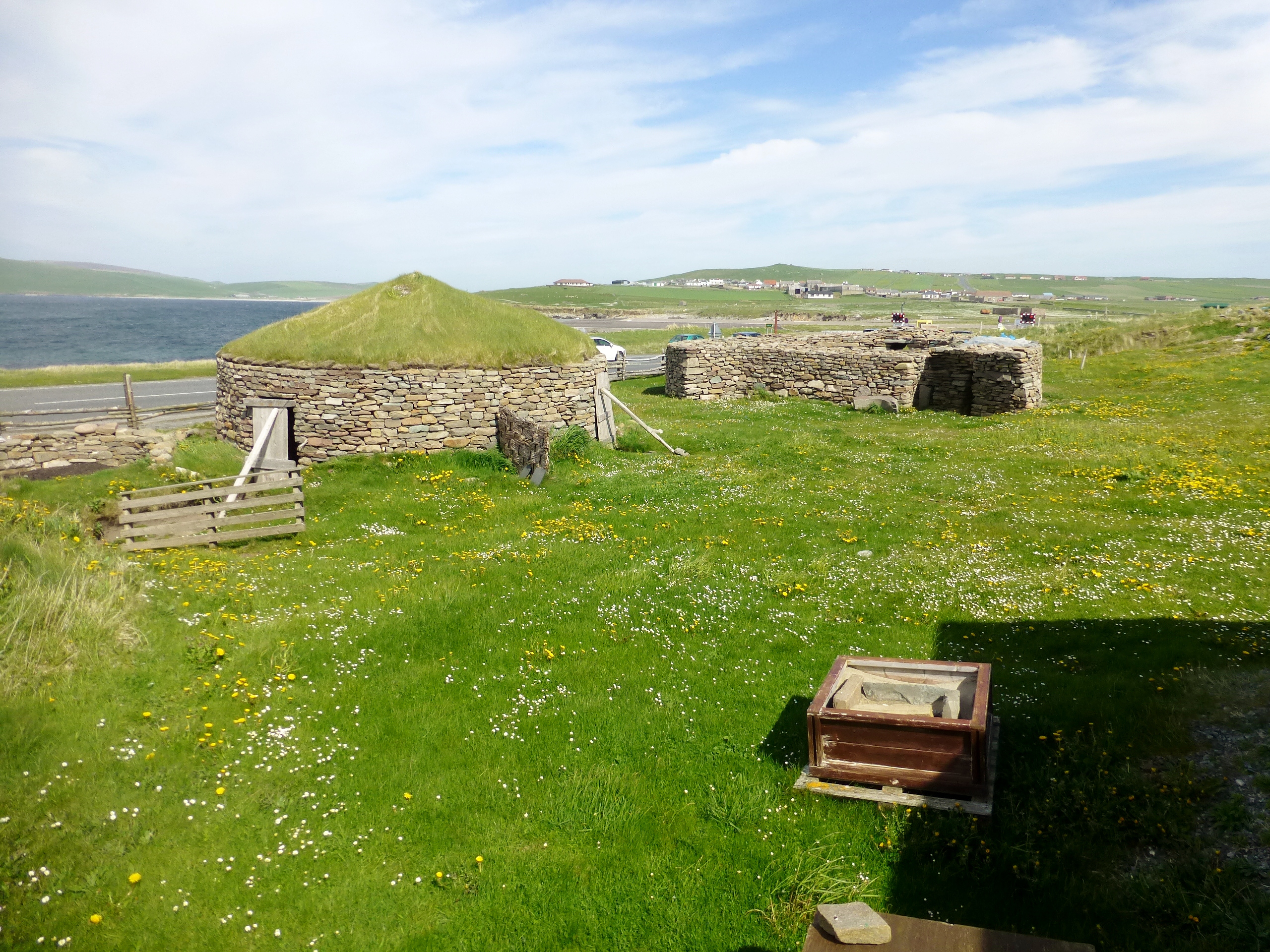
Old Scatness
Old Scatness is an archeological site on Scat Ness, near the village of Scatness, in the parish of Dunrossness in the south end of Mainland, Shetland,...
Scatness
Scatness is a settlement on the headland of Scat Ness at the southern tip of Mainland, Shetland, Scotland, across the West Voe of Sumburgh from Sumburgh...
Virkie
Virkie is the most southerly district of Shetland, other than Fair Isle and is best defined as the area south of the Ward Hill in Dunrossness, also locally...
Have you been to Bilna Stanes?
Leave your review of Bilna Stanes below (or comments, questions and feedback).