Arched Rock
Coastal Feature, Headland, Point in Hampshire
England
Arched Rock

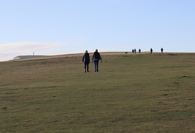
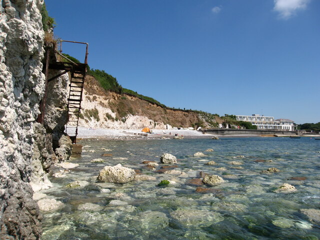
Arched Rock, located in Hampshire, England, is a prominent coastal feature that stands as a headland jutting out into the sea. This natural formation is well-known for its distinctive arch-shaped rock formation, which has become an iconic landmark in the region.
Situated along the coastline, Arched Rock offers breathtaking views of the sea and the surrounding cliffs. The rock formation itself is composed of layers of sedimentary rocks, predominantly limestone, which have been shaped over centuries by the relentless forces of erosion and weathering.
The arch is the result of the gradual erosion of the softer rock layers, leaving behind a resilient arch-shaped structure that defies the crashing waves and winds. This unique feature has made Arched Rock a popular destination for tourists, nature enthusiasts, and photographers alike.
In addition to its geological significance, Arched Rock also serves as a habitat for various coastal plants and wildlife. The surrounding cliffs provide nesting sites for seabirds such as gulls and cormorants, while the rock pools at low tide are home to an array of marine organisms, including crabs, anemones, and small fish.
Access to Arched Rock is relatively easy, with a well-maintained footpath leading visitors from a nearby parking area to a viewing platform that offers unobstructed views of the arch. However, caution is advised when exploring the area, as the cliffs can be steep and slippery, especially during inclement weather.
Overall, Arched Rock in Hampshire is a stunning coastal feature that exemplifies the power of nature's sculpting abilities. With its remarkable arch-shaped formation, picturesque views, and diverse wildlife, it continues to captivate and inspire those who visit this remarkable coastal point.
If you have any feedback on the listing, please let us know in the comments section below.
Arched Rock Images
Images are sourced within 2km of 50.668377/-1.5068564 or Grid Reference SZ3485. Thanks to Geograph Open Source API. All images are credited.


Arched Rock is located at Grid Ref: SZ3485 (Lat: 50.668377, Lng: -1.5068564)
Unitary Authority: Isle of Wight
Police Authority: Hampshire
What 3 Words
///beaters.breath.fidgeted. Near Freshwater, Isle of Wight
Nearby Locations
Related Wikis

Afton Down
Afton Down is a chalk down near the village of Freshwater on the Isle of Wight. Afton Down faces Compton Bay directly to the west, while Freshwater is...

Freshwater Bay Independent Lifeboat Station
Freshwater Lifeboat Station is owned and operated by the Freshwater Independent Lifeboat Service located in the village of Freshwater on the Isle of Wight...
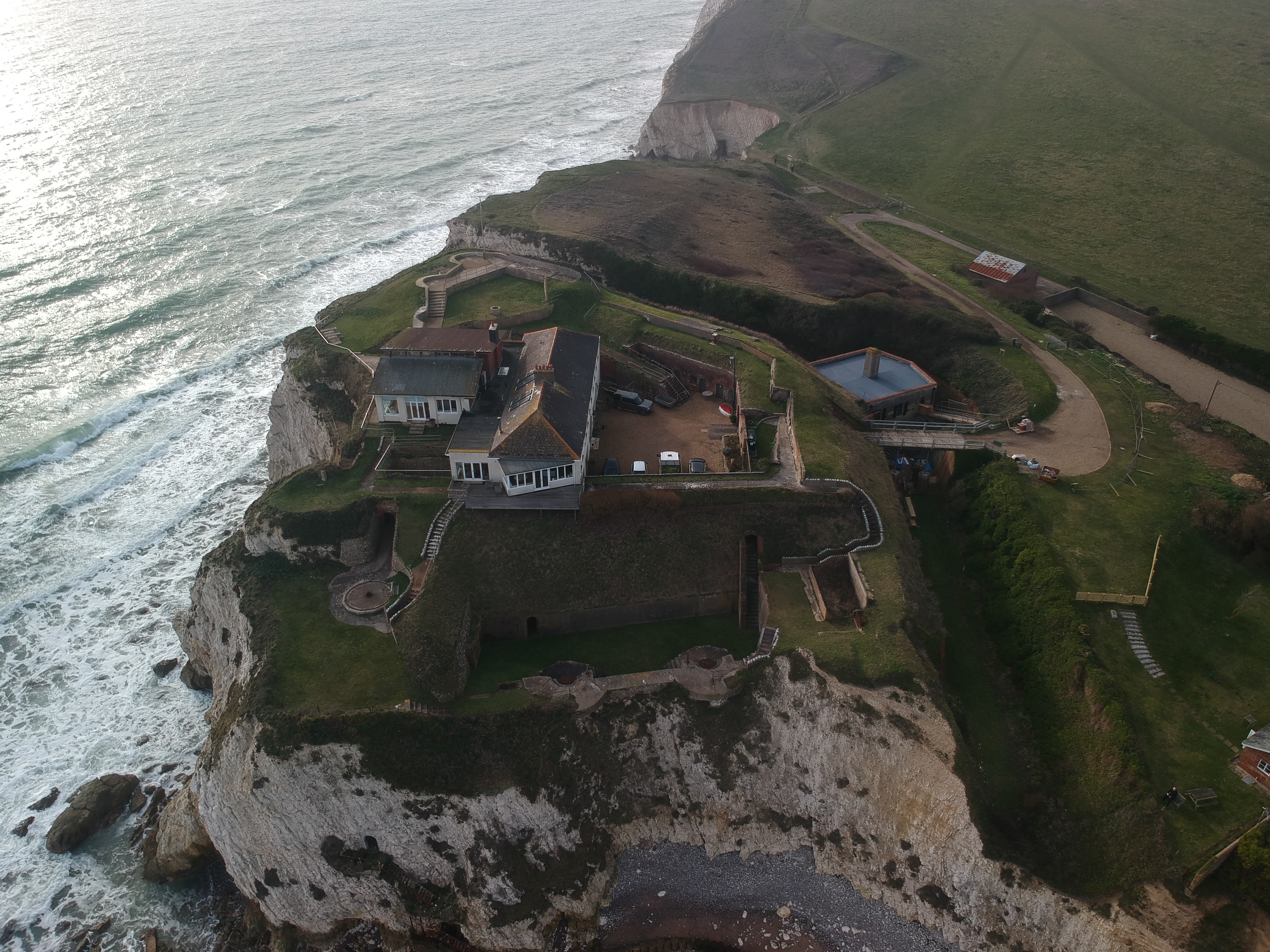
Freshwater Redoubt
Freshwater Redoubt, also known as Fort Redoubt (map reference SZ345856), is an old Palmerston fort built in Freshwater Bay on the western end of the Isle...

Afton Park
Afton Park is a settlement on the Isle of Wight, off the south coast of England. The hamlet lies to the east of the A3055 road, near to the larger settlement...

Afton, Isle of Wight
Afton is a hamlet just outside Freshwater on the west side of the Isle of Wight. It features a local hill known as Afton Down which was the site of the...
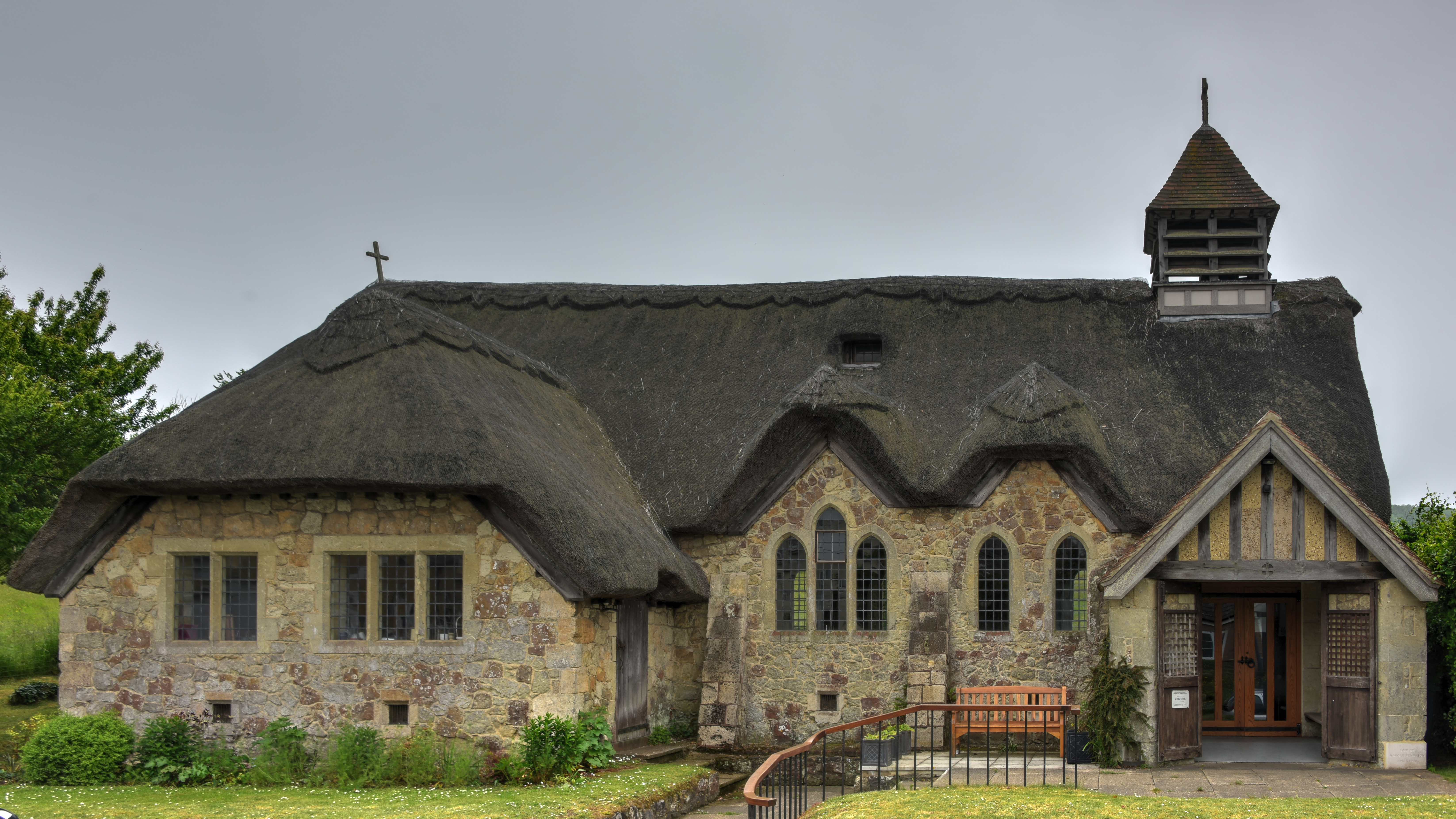
St Agnes' Church, Freshwater
St Agnes' Church, Freshwater is a parish church in the Church of England located in Freshwater, Isle of Wight. == History == The church dates from 1908...

Easton, Isle of Wight
Easton is a village on the Isle of Wight. It is located close to Totland on the west side of the island and forms part of the parish of Freshwater. (where...

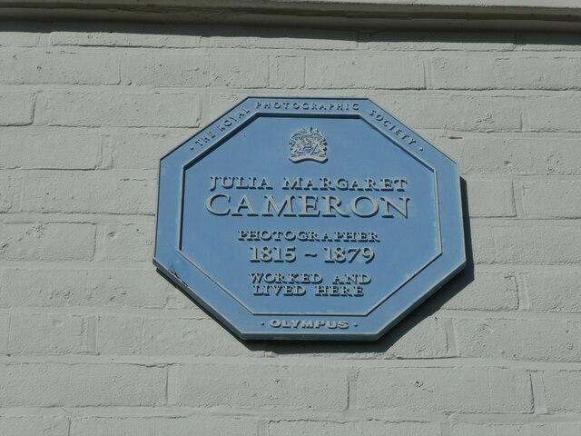
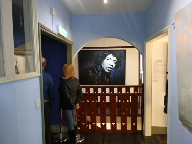
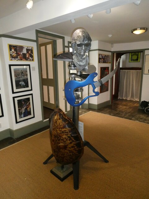
Dimbola Museum and Galleries
The Dimbola Museum and Galleries are located in Dimbola, that was the Isle of Wight home of the Victorian pioneer photographer Julia Margaret Cameron from...
Nearby Amenities
Located within 500m of 50.668377,-1.5068564Have you been to Arched Rock?
Leave your review of Arched Rock below (or comments, questions and feedback).