Baron's Geo
Coastal Feature, Headland, Point in Shetland
Scotland
Baron's Geo

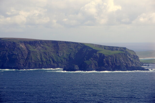
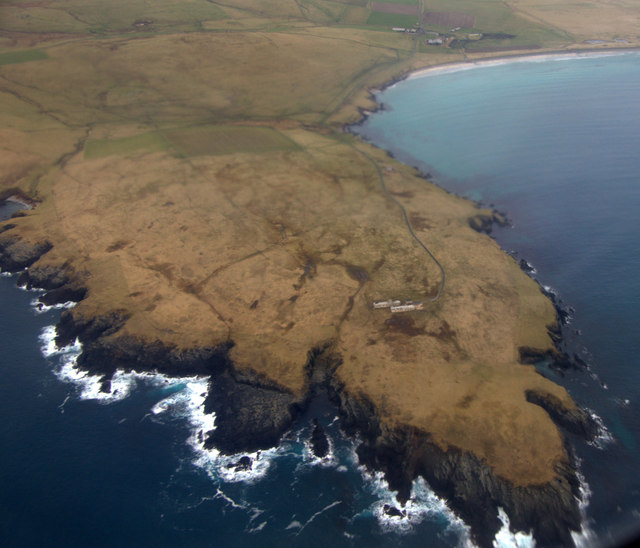
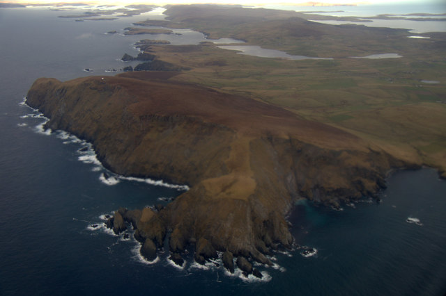
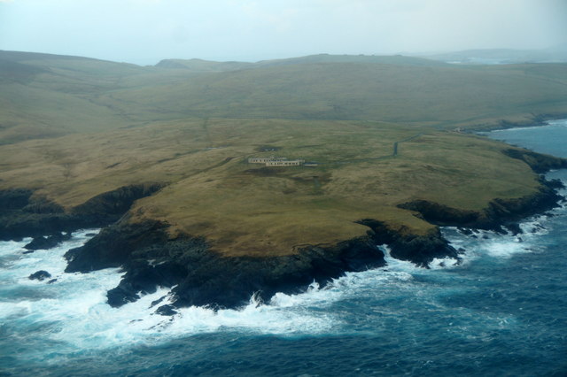
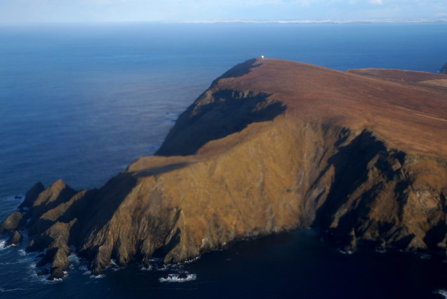
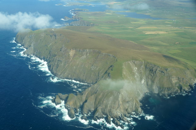
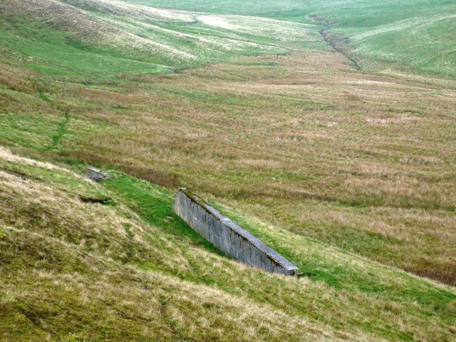
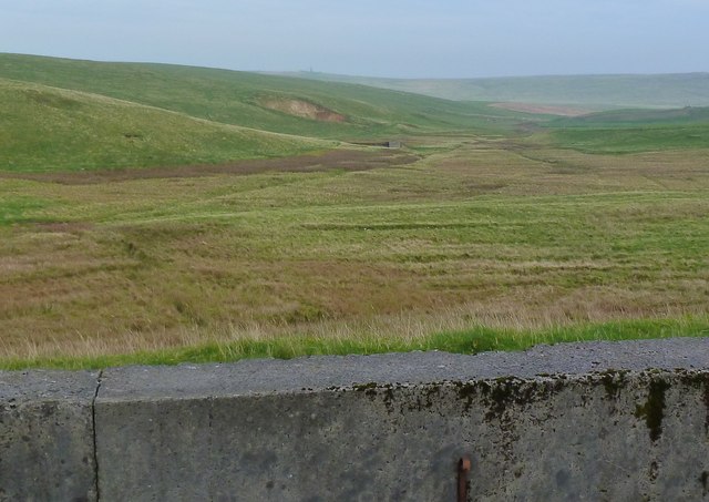
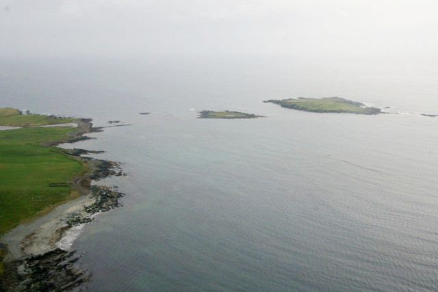
Baron's Geo is a prominent coastal feature located on the Shetland Islands, situated off the northeastern coast of Scotland. It is specifically categorized as a headland, also known as a point, due to its striking formation and geographic characteristics. This distinctive coastal feature is positioned on the eastern coastline of the mainland of Shetland, near the village of Voe.
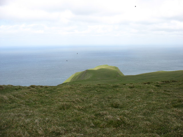
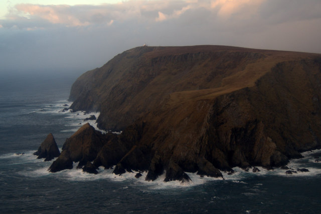
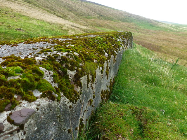
Baron's Geo is characterized by its steep cliffs that rise dramatically from the surrounding shoreline. These cliffs are composed of sedimentary rocks, primarily sandstone and shale, which have been shaped and eroded over thousands of years by the relentless forces of the North Atlantic Ocean. The relentless pounding of the waves against the cliffs has resulted in the creation of caves, arches, and stacks, adding to the visual allure of the headland.
The headland provides a stunning vantage point from which to observe the tumultuous waters of the North Sea and the diverse marine life that inhabits the area. It is a popular spot for birdwatching, with numerous seabirds, including puffins, guillemots, and fulmars, nesting in the cliffs. The surrounding waters are also frequented by seals and dolphins, adding to the natural beauty and biodiversity of the area.
Baron's Geo is easily accessible by foot, with various coastal paths and trails leading to the headland. Its striking features and captivating views make it a popular destination for hikers, photographers, and nature enthusiasts. It is a testament to the power of nature and serves as a reminder of the ever-changing and dynamic forces that have shaped the Shetland Islands' coastline.
If you have any feedback on the listing, please let us know in the comments section below.
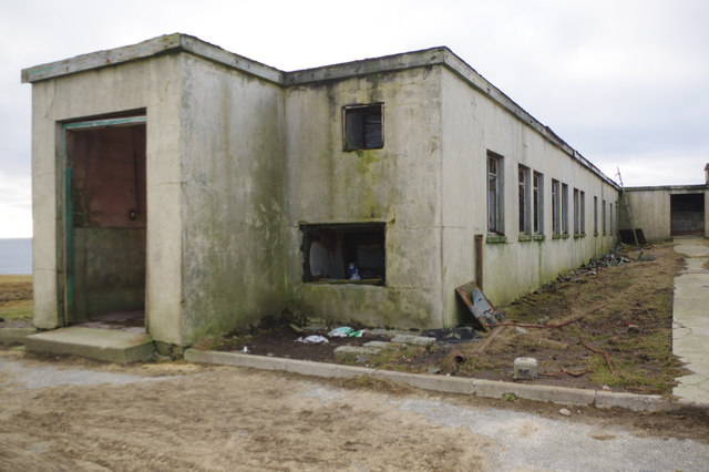
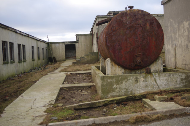
Baron's Geo Images
Images are sourced within 2km of 59.892165/-1.3829391 or Grid Reference HU3412. Thanks to Geograph Open Source API. All images are credited.


Baron's Geo is located at Grid Ref: HU3412 (Lat: 59.892165, Lng: -1.3829391)
Unitary Authority: Shetland Islands
Police Authority: Highlands and Islands
What 3 Words
///farms.airbrush.recover. Near Sumburgh, Shetland Islands
Nearby Locations
Related Wikis

Fitful Head
Fitful Head is a 283-metre-high (928 ft) headland at the southwest corner of Mainland, Shetland, Scotland, some 6 kilometres (3.7 mi) northwest of the...

MV Braer
The MV Braer was an oil tanker which ran aground during a storm off Shetland, Scotland, in January 1993, and nearly a week later broke up during the most...
Lady's Holm
Lady's Holm is an island off southern Mainland in the Shetland Islands. It is not to be confused with the Maiden Stack, which is also known as "Frau Stack...
Little Holm, Dunrossness
Little Holm is a small island to the west of South Mainland in Shetland. It is near Scatness and Lady's Holm. A trawler was wrecked there in 1916. ��2...
Have you been to Baron's Geo?
Leave your review of Baron's Geo below (or comments, questions and feedback).