Boatie Geo
Coastal Feature, Headland, Point in Shetland
Scotland
Boatie Geo
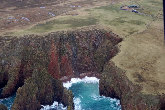
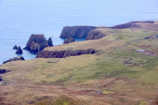
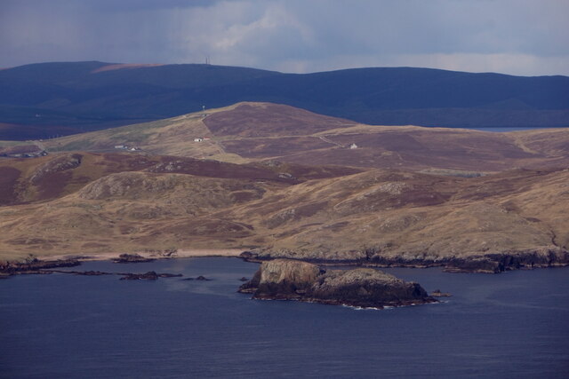
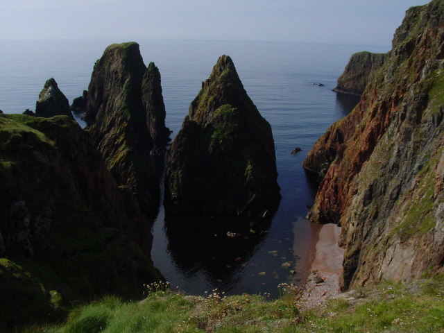
Boatie Geo is a prominent coastal feature located on the island of Shetland, Scotland. It is a headland that extends into the North Sea, forming a distinct point along the rugged coastline. Boatie Geo is known for its striking cliffs and picturesque views of the surrounding ocean.
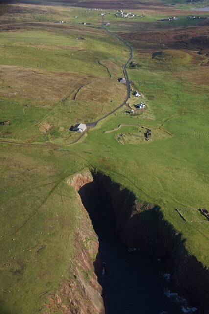
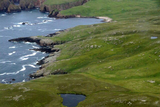
The headland is composed of layers of sedimentary rocks, which have been eroded over time by the relentless action of the waves. This erosion has created steep cliffs that tower above the sea, providing a dramatic backdrop to the area. The rocks are predominantly composed of sandstone and shale, which exhibit various colors and textures, adding to the visual appeal of Boatie Geo.
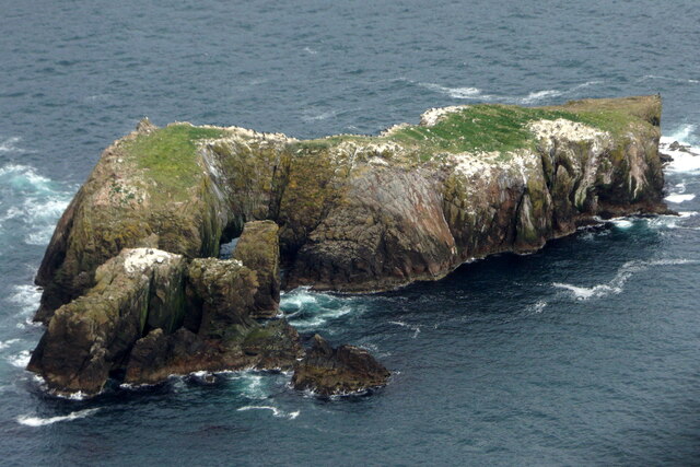
The location is popular among nature enthusiasts and photographers, who are drawn to the stunning vistas and unique geological formations. The headland offers opportunities for coastal walks and exploration, allowing visitors to observe the diverse marine life that inhabits the surrounding waters. Seabird colonies, including puffins and guillemots, can often be spotted nesting on the cliffs, adding to the area's biological significance.
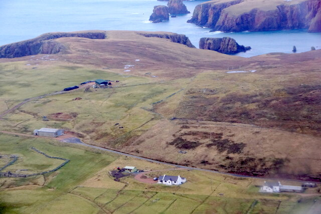
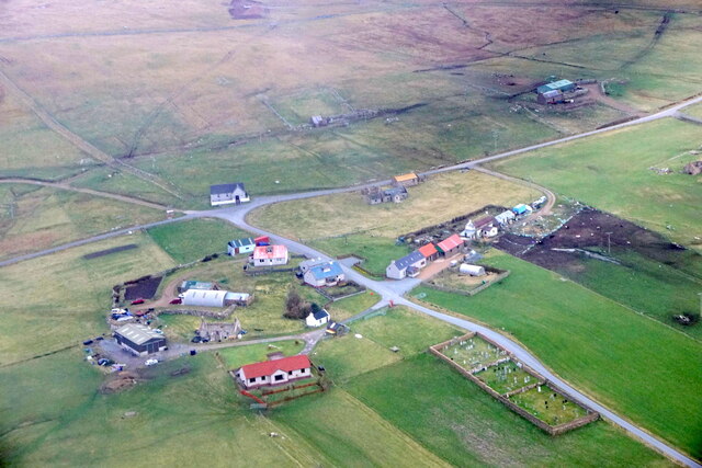
Boatie Geo also has a rich cultural history. The site was once used as a fishing station, where local fishermen would launch their boats to catch fish and shellfish. The remnants of these activities, such as old stone structures and boat launching ramps, can still be seen along the coastline, providing a glimpse into the area's past.
Overall, Boatie Geo is a captivating coastal feature that combines breathtaking natural beauty with a rich cultural heritage. Its rugged cliffs, diverse wildlife, and historical significance make it a must-visit destination for those exploring the Shetland Islands.
If you have any feedback on the listing, please let us know in the comments section below.
Boatie Geo Images
Images are sourced within 2km of 60.167697/-1.4515182 or Grid Reference HU3042. Thanks to Geograph Open Source API. All images are credited.


Boatie Geo is located at Grid Ref: HU3042 (Lat: 60.167697, Lng: -1.4515182)
Unitary Authority: Shetland Islands
Police Authority: Highlands and Islands
What 3 Words
///repelled.model.dawn. Near Walls, Shetland Islands
Nearby Locations
Related Wikis

Silwick
Silwick, a once thriving community in the West Mainland, Shetland, Scotland about three miles from Skeld, is now almost deserted. The area has dramatic...

Westerwick
Westerwick is a settlement on Mainland in Shetland, Scotland. The settlement is within the parish of Sandsting. It faces south with high cliffs on both...

Skeld
Skeld (Old Norse: Skjolðr, Shield or shelter) refers to two villages on the south side of the West Mainland of Shetland, Scotland. The main village is...

Broch of Culswick
The Broch of Culswick (also Culswick Broch) is an unexcavated coastal broch in the Shetland Islands of Scotland (grid reference HU25384481). It has good...

Hildasay
Hildasay (Scots: Hildasay; Old Norse: Hildisey) (from the Old Norse masculine name Hildir with ey "island"), also known as Hildisay, is an uninhabited...

Cheynies
The Cheynies are a group of reefs and small islands, between Oxna and Hildasay in the Shetland Islands, Scotland. They have been considerably eroded in...

Sandsting
Sandsting is a parish in the West Mainland of Shetland, Scotland, forming a southern arm of the Walls Peninsula. After the parish of Aithsting was annexed...
North Havra
North Havra (Old Norse: Hafrey, ocean island) is a small island off south west Shetland. It is 30 metres at its highest point. Situated 1/3 mile from the...
Nearby Amenities
Located within 500m of 60.167697,-1.4515182Have you been to Boatie Geo?
Leave your review of Boatie Geo below (or comments, questions and feedback).