Badni Taing
Island in Shetland
Scotland
Badni Taing
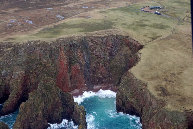
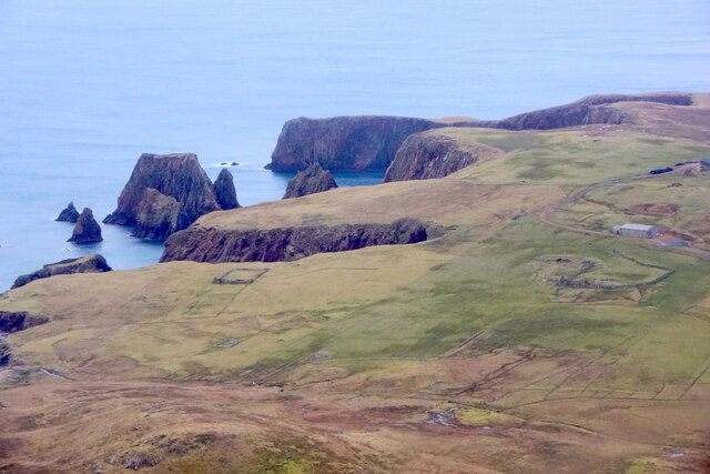
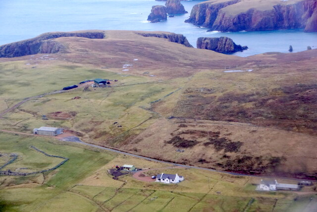
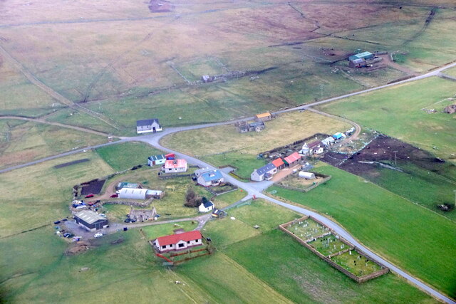
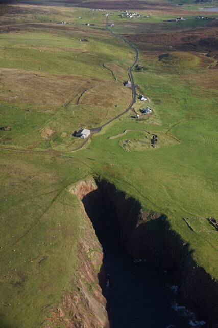
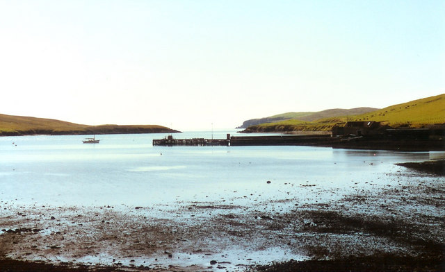
Badni Taing is a picturesque coastal hamlet located on the island of Shetland, which is situated in the Northern Isles of Scotland. It is nestled on the eastern coast of the main island, amidst stunning natural landscapes and breathtaking sea views.
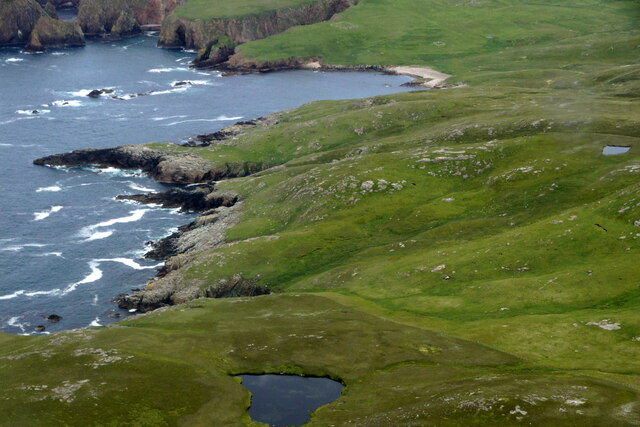
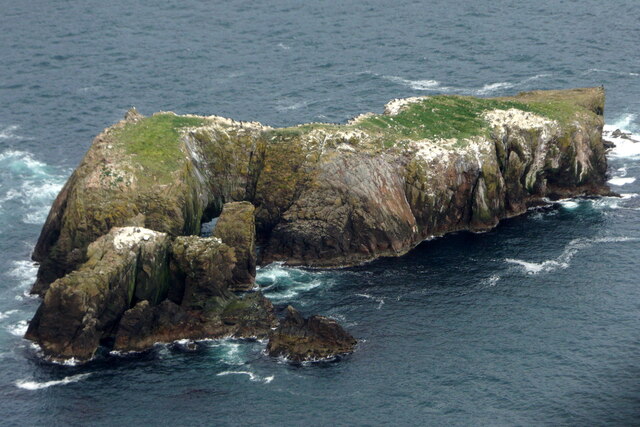
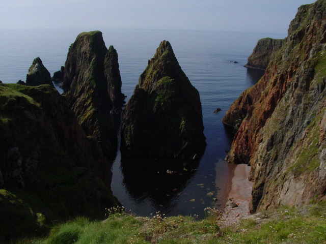
This small settlement is known for its tranquility and charm, attracting visitors seeking a peaceful retreat in a remote and idyllic setting. Badni Taing is a perfect destination for nature enthusiasts, as it offers a range of outdoor activities such as hiking, birdwatching, and fishing. The surrounding area boasts rugged cliffs, pristine beaches, and lush green hills, making it a haven for wildlife and a photographer's paradise.
The village itself is characterized by a few traditional stone cottages, adding to its quaint appeal. It is home to a close-knit community that cherishes its cultural heritage and maintains a strong connection to the sea. Fishing has long been an integral part of the local economy, and visitors can witness the fishing boats bobbing in the harbor and perhaps even sample some fresh seafood delicacies.
While Badni Taing is a remote and peaceful location, it is not entirely isolated. The nearby town of Lerwick, the main settlement on Shetland, is within a reasonable distance and offers a wider range of amenities, including shops, restaurants, and accommodations.
Overall, Badni Taing is a hidden gem on the island of Shetland, offering visitors a chance to immerse themselves in nature's beauty and experience the tranquility of a traditional coastal hamlet.
If you have any feedback on the listing, please let us know in the comments section below.
Badni Taing Images
Images are sourced within 2km of 60.168908/-1.4511196 or Grid Reference HU3042. Thanks to Geograph Open Source API. All images are credited.


Badni Taing is located at Grid Ref: HU3042 (Lat: 60.168908, Lng: -1.4511196)
Unitary Authority: Shetland Islands
Police Authority: Highlands and Islands
What 3 Words
///appealing.intro.length. Near Walls, Shetland Islands
Nearby Locations
Related Wikis

Silwick
Silwick, a once thriving community in the West Mainland, Shetland, Scotland about three miles from Skeld, is now almost deserted. The area has dramatic...

Westerwick
Westerwick is a settlement on Mainland in Shetland, Scotland. The settlement is within the parish of Sandsting. It faces south with high cliffs on both...

Skeld
Skeld (Old Norse: Skjolðr, Shield or shelter) refers to two villages on the south side of the West Mainland of Shetland, Scotland. The main village is...

Broch of Culswick
The Broch of Culswick (also Culswick Broch) is an unexcavated coastal broch in the Shetland Islands of Scotland (grid reference HU25384481). It has good...

Hildasay
Hildasay (Scots: Hildasay; Old Norse: Hildisey) (from the Old Norse masculine name Hildir with ey "island"), also known as Hildisay, is an uninhabited...

Sandsting
Sandsting is a parish in the West Mainland of Shetland, Scotland, forming a southern arm of the Walls Peninsula. After the parish of Aithsting was annexed...

Cheynies
The Cheynies are a group of reefs and small islands, between Oxna and Hildasay in the Shetland Islands, Scotland. They have been considerably eroded in...
North Havra
North Havra (Old Norse: Hafrey, ocean island) is a small island off south west Shetland. It is 30 metres at its highest point. Situated 1/3 mile from the...
Nearby Amenities
Located within 500m of 60.168908,-1.4511196Have you been to Badni Taing?
Leave your review of Badni Taing below (or comments, questions and feedback).