Hundi Geo
Coastal Feature, Headland, Point in Shetland
Scotland
Hundi Geo
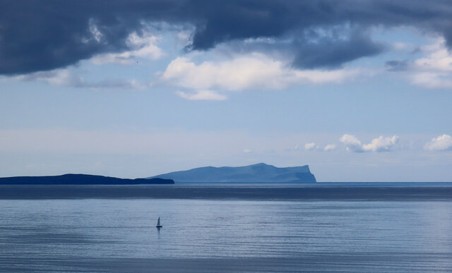
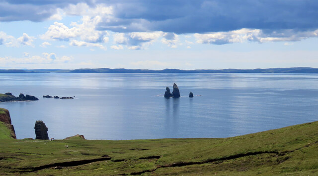
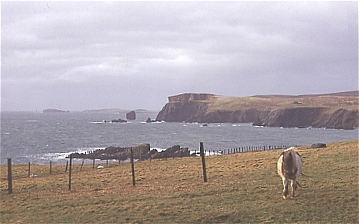
Hundi Geo is a coastal feature located in the Shetland Islands, an archipelago north of mainland Scotland. It is a prominent headland that juts out into the North Sea, forming a distinct point along the rugged coastline.
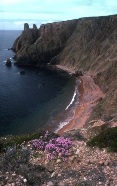
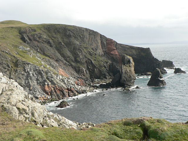
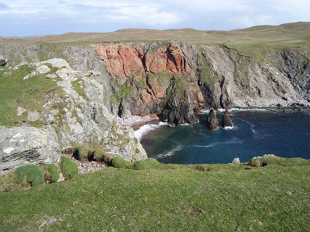
The geography of Hundi Geo is characterized by steep cliffs and rocky terrain, which are typical of the Shetland Islands. The area is exposed to strong ocean currents and prevailing winds, creating a challenging environment for marine life and coastal erosion. The headland itself is composed of hard, resistant rocks, providing a natural barrier against the relentless forces of the sea.
Hundi Geo is known for its scenic beauty and dramatic landscapes. The cliffs offer panoramic views of the surrounding sea and distant islands, making it a popular spot for photographers and nature enthusiasts. The area is also home to a diverse range of seabirds, including puffins, guillemots, and gulls, which nest on the cliffs during the breeding season.
Access to Hundi Geo is limited due to its remote location and rough terrain. However, for those willing to make the journey, the headland offers a unique opportunity to experience the untamed beauty of the Shetland coastline. Visitors are advised to exercise caution and respect the fragile ecosystem, as Hundi Geo is an important habitat for coastal flora and fauna.
Overall, Hundi Geo is a striking coastal feature in the Shetland Islands, showcasing the raw power of nature and providing a glimpse into the diverse marine ecosystem of this remote corner of Scotland.
If you have any feedback on the listing, please let us know in the comments section below.
Hundi Geo Images
Images are sourced within 2km of 60.48048/-1.4967703 or Grid Reference HU2777. Thanks to Geograph Open Source API. All images are credited.
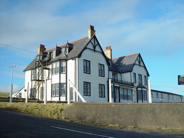
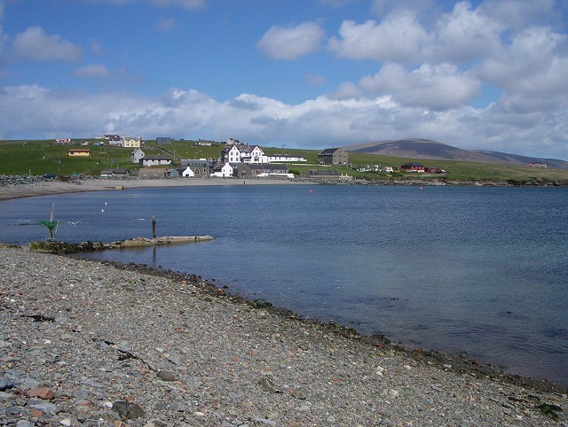
![St Magnus Bay Hotel, Hillswick, Shetland Built in 1900 by the North of Scotland Ferry company. Still functioning, just [in 2004], but the absentee landlord is clearly not interested in maintaining it as a hotel, which is sad.](https://s3.geograph.org.uk/photos/00/62/006251_e10baf81.jpg)


Hundi Geo is located at Grid Ref: HU2777 (Lat: 60.48048, Lng: -1.4967703)
Unitary Authority: Shetland Islands
Police Authority: Highlands and Islands
What 3 Words
///dress.finer.occurs. Near Brae, Shetland Islands
Nearby Locations
Related Wikis

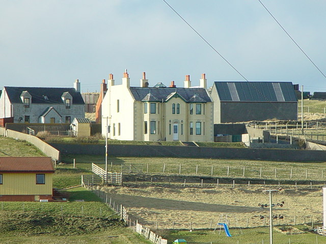
Hillswick
Hillswick is a small village in Northmavine, on the shore of the Atlantic Ocean and lies to the north-north west of Mainland, Shetland, the most northerly...

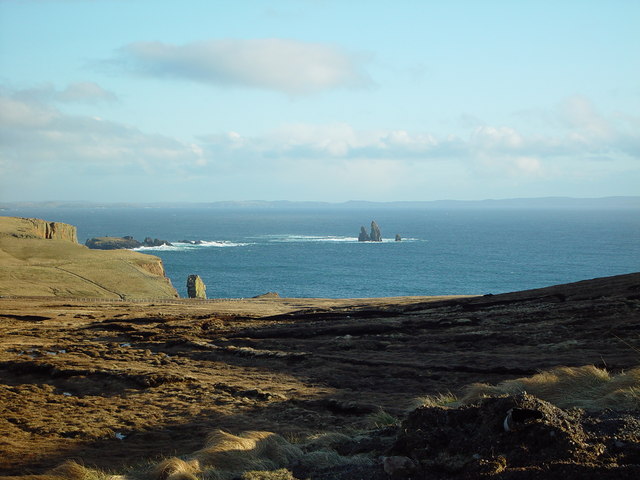
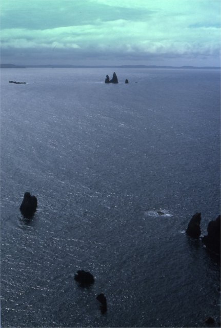
The Drongs
The Drongs are a group of sea stacks off the coast of Hillswick Ness, Northmavine, Shetland, Scotland. They lie to the west of the Isle of Westerhouse...

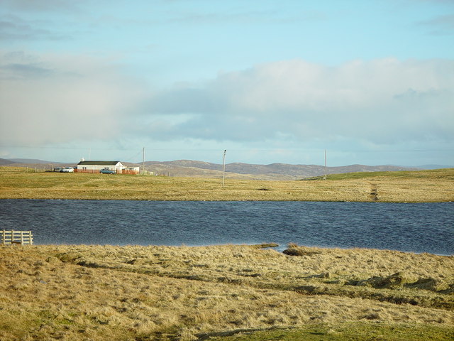
Assater
Assater (also spelled Assetter) is a hamlet on Mainland, in Shetland, Scotland. Assater is situated in the parish of Northmaven. It is about 1.3 miles...

Heylor
Heylor is a settlement situated on the south side of Ronas Voe in Northmavine, Shetland, Scotland. It lies directly opposite Ronas Hill, Shetland's tallest...
Nearby Amenities
Located within 500m of 60.48048,-1.4967703Have you been to Hundi Geo?
Leave your review of Hundi Geo below (or comments, questions and feedback).