Cam, Lower
Settlement in Gloucestershire Stroud
England
Cam, Lower
Cam is a small village located in the district of Stroud, within the county of Gloucestershire, England. Situated on the eastern bank of the River Cam, it lies approximately 20 miles southwest of the city of Gloucester. With a population of around 8,000 residents, Cam is a close-knit community that offers a peaceful and picturesque setting.
The village is well-known for its rich industrial heritage, particularly in the cloth and paper industries. The historic Cam Mills, which date back to the 19th century, were once thriving textile factories that played a significant role in the local economy. Today, the mills have been converted into residential properties, adding to the charm and character of the village.
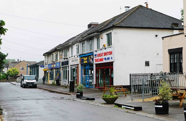
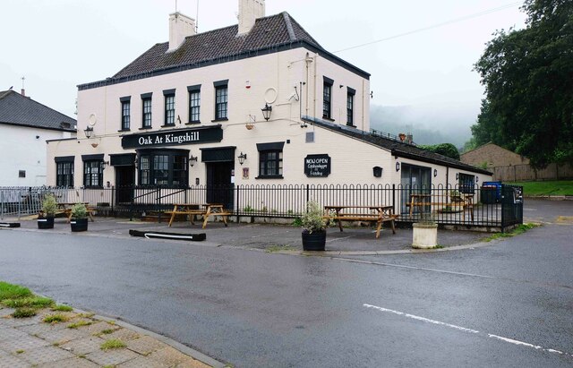
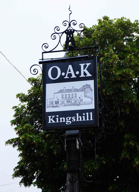
Cam boasts a range of amenities, including a variety of shops, pubs, and restaurants that cater to the needs of both locals and visitors. The village is also home to several schools, making it an attractive place for families. Its close proximity to the Cotswolds Area of Outstanding Natural Beauty makes Cam an ideal base for those who enjoy outdoor activities such as hiking and cycling.
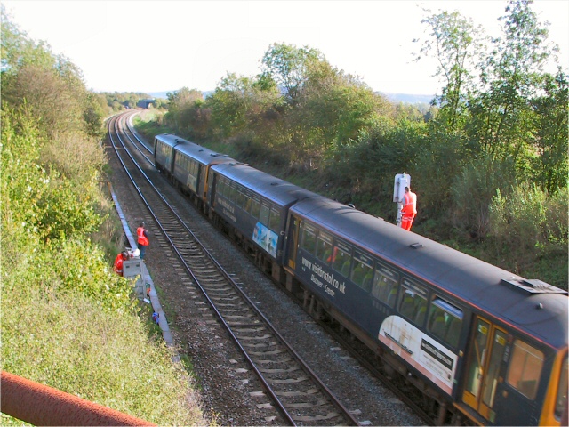
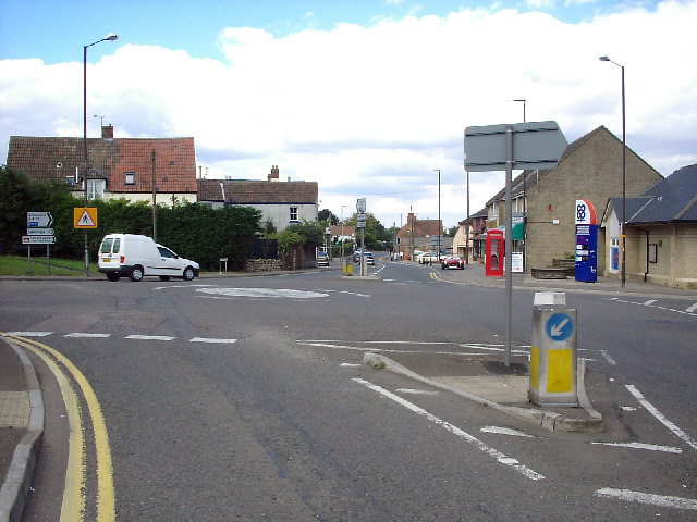
Transport links in Cam are well-established, with the M5 motorway just a few miles away, providing easy access to nearby cities and towns. The village also benefits from a railway station, offering services to Bristol and Gloucester.
Overall, Cam is a delightful village that combines its rich industrial history with a welcoming community spirit and beautiful natural surroundings, making it an appealing place to live or visit in Gloucestershire.
If you have any feedback on the listing, please let us know in the comments section below.
Cam, Lower Images
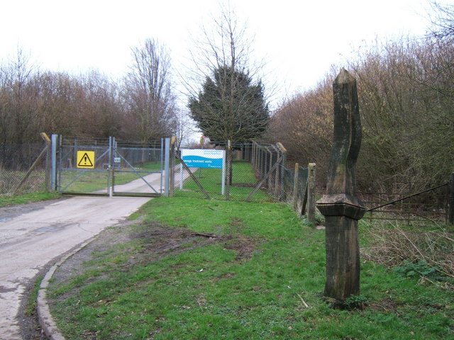
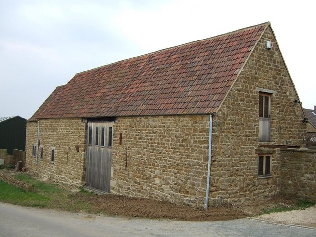
Images are sourced within 2km of 51.703241/-2.370424 or Grid Reference SO7400. Thanks to Geograph Open Source API. All images are credited.


Cam, Lower is located at Grid Ref: SO7400 (Lat: 51.703241, Lng: -2.370424)
Administrative County: Gloucestershire
District: Stroud
Police Authority: Gloucestershire
What 3 Words
///tweed.bride.slung. Near Dursley, Gloucestershire
Nearby Locations
Related Wikis

Cam, Gloucestershire
Cam is a large village and civil parish in Gloucestershire, England, situated on the edge of the Cotswolds and contiguous with the town of Dursley, north...

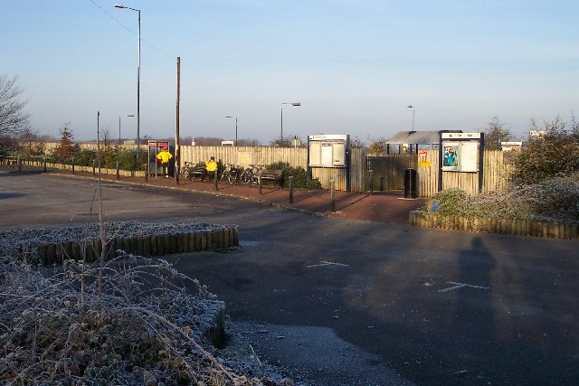
Cam railway station
Cam railway station served the village of Cam in Gloucestershire, England. The station was on the short Dursley and Midland Junction Railway line which...

Parish Church of St George
The Parish Church of St George (Church of England) in the village of Cam, Gloucestershire, is an Anglican establishment situated in a slightly elevated...
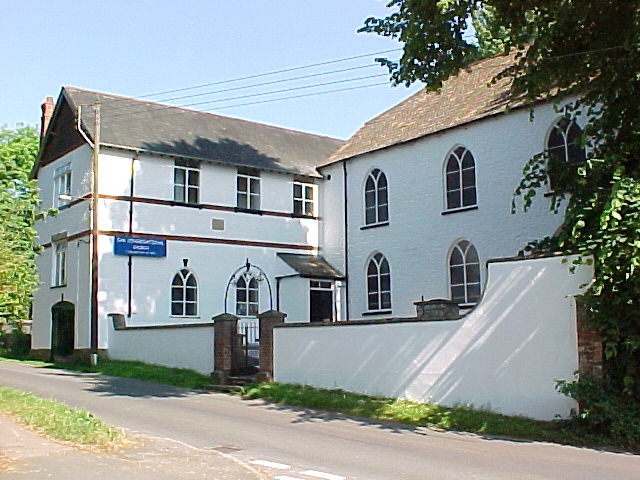
Cam Congregational Church
Cam Congregational Church in the village of Upper Cam near the market town of Dursley, Gloucestershire. Founded in 1662, and originally known as Cam Independent...

Cam and Dursley railway station
Cam and Dursley railway station is a railway station serving the large village of Cam and the market town of Dursley in Gloucestershire, England. It is...
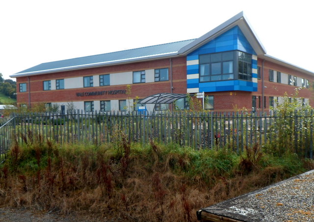
Vale Community Hospital
Vale Community Hospital is a community hospital in Lister Road, Dursley, Gloucestershire, England. It is managed by Gloucestershire Health and Care NHS...

Rednock School
Rednock School is a comprehensive school located in Dursley, Gloucestershire, England. It is a specialist Science College which also contains a sixth form...

Piers Court
Piers Court is a country house in Stinchcombe on the Cotswold Edge in Gloucestershire, England. A Grade II* listed building, in the mid-20th century the...
Nearby Amenities
Located within 500m of 51.703241,-2.370424Have you been to Cam, Lower?
Leave your review of Cam, Lower below (or comments, questions and feedback).