Fairmead
Settlement in Gloucestershire Stroud
England
Fairmead
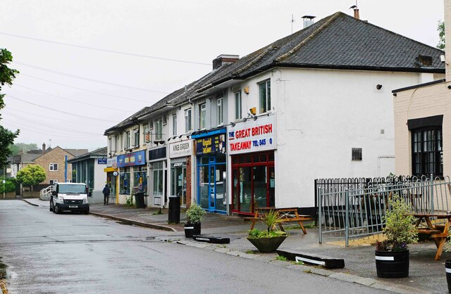
Fairmead is a quaint village located in the county of Gloucestershire, England. Situated in the picturesque countryside, it offers a peaceful and idyllic setting for its residents and visitors alike. With a population of around 500, Fairmead exudes a close-knit community feel, where neighbors know each other and a strong sense of belonging is evident.
The village is characterized by its charming architecture, predominantly consisting of traditional stone cottages and country houses, adding to its rustic charm. The surrounding landscape is dotted with lush green fields and rolling hills, providing a stunning backdrop for outdoor activities and leisurely walks.
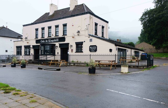
Although small in size, Fairmead boasts a range of amenities to cater to its residents' needs. It is home to a local primary school, a village hall, and a small but well-stocked convenience store, ensuring basic necessities are easily accessible. Additionally, the village prides itself on its welcoming pubs, where locals and visitors can enjoy a cozy atmosphere and traditional British fare.
Fairmead benefits from its proximity to larger towns and cities, with Gloucester and Cheltenham just a short drive away. This allows residents to access a wider range of amenities, including shopping centers, hospitals, and entertainment venues.
Overall, Fairmead's charm lies in its serene countryside setting coupled with its strong community spirit. It offers a peaceful retreat for those seeking a slower pace of life, while still providing convenient access to larger urban areas.
If you have any feedback on the listing, please let us know in the comments section below.
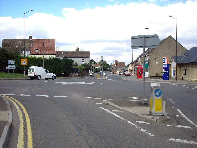
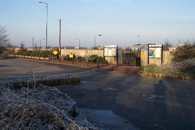
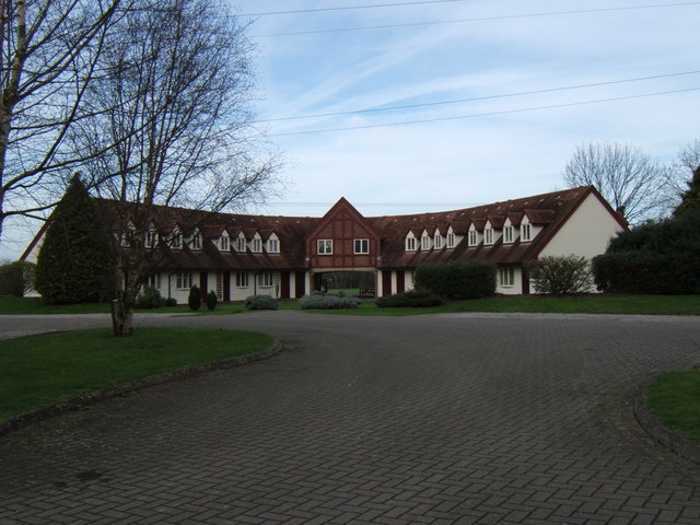
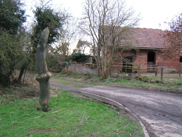
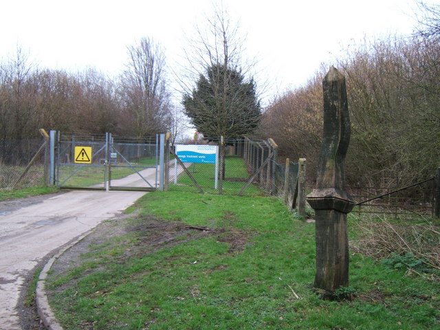
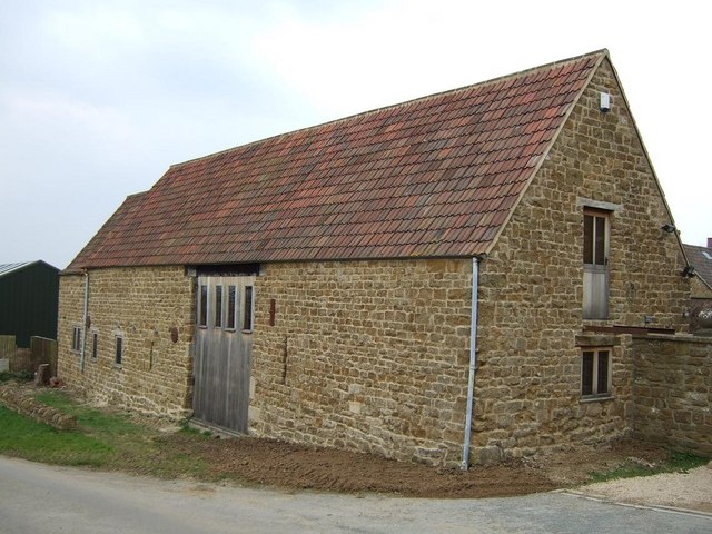
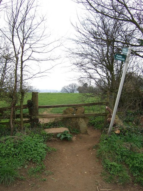
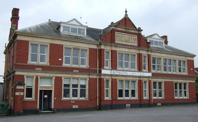
Fairmead Images
Images are sourced within 2km of 51.699934/-2.3670456 or Grid Reference SO7400. Thanks to Geograph Open Source API. All images are credited.
Fairmead is located at Grid Ref: SO7400 (Lat: 51.699934, Lng: -2.3670456)
Administrative County: Gloucestershire
District: Stroud
Police Authority: Gloucestershire
What 3 Words
///coats.shepherds.moped. Near Dursley, Gloucestershire
Nearby Locations
Related Wikis

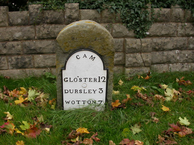
Cam, Gloucestershire
Cam is a large village and civil parish in Gloucestershire, England, situated on the edge of the Cotswolds and contiguous with the town of Dursley, north...

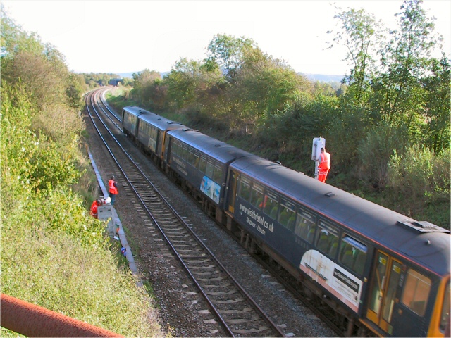
Cam railway station
Cam railway station served the village of Cam in Gloucestershire, England. The station was on the short Dursley and Midland Junction Railway line which...

Parish Church of St George
The Parish Church of St George (Church of England) in the village of Cam, Gloucestershire, is an Anglican establishment situated in a slightly elevated...
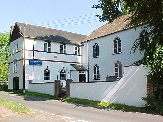
Cam Congregational Church
Cam Congregational Church in the village of Upper Cam near the market town of Dursley, Gloucestershire. Founded in 1662, and originally known as Cam Independent...
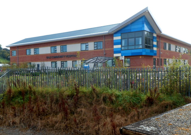
Vale Community Hospital
Vale Community Hospital is a community hospital in Lister Road, Dursley, Gloucestershire, England. It is managed by Gloucestershire Health and Care NHS...

Rednock School
Rednock School is a comprehensive school located in Dursley, Gloucestershire, England. It is a specialist Science College which also contains a sixth form...

Piers Court
Piers Court is a country house in Stinchcombe on the Cotswold Edge in Gloucestershire, England. A Grade II* listed building, in the mid-20th century the...

Cam and Dursley railway station
Cam and Dursley railway station is a railway station serving the large village of Cam and the market town of Dursley in Gloucestershire, England. It is...
Nearby Amenities
Located within 500m of 51.699934,-2.3670456Have you been to Fairmead?
Leave your review of Fairmead below (or comments, questions and feedback).