Sterling Geo
Coastal Feature, Headland, Point in Shetland
Scotland
Sterling Geo
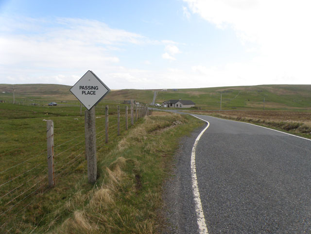
Sterling Geo is a prominent coastal feature located in the Shetland Islands, an archipelago situated off the northeast coast of mainland Scotland. It is classified as a headland and point due to its unique geographical characteristics.
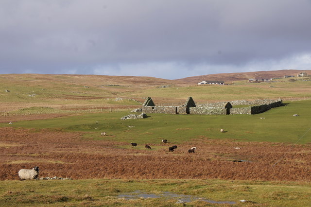
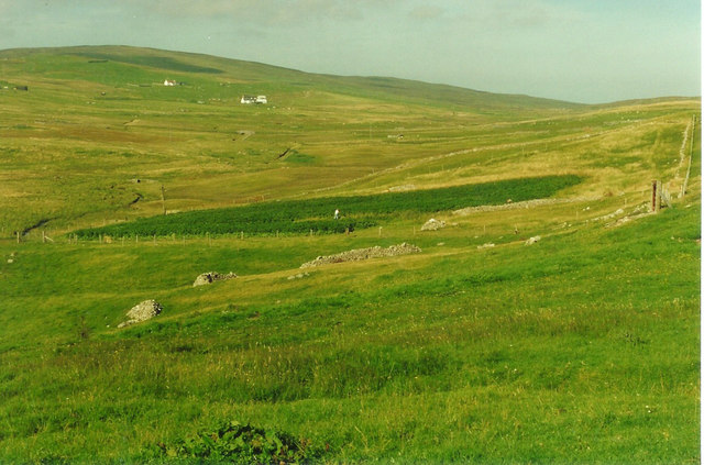
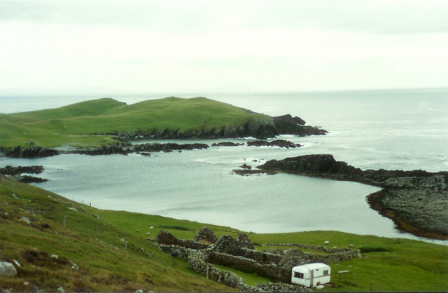
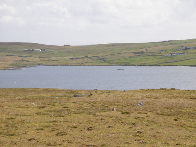
Sterling Geo is characterized by its towering cliffs that overlook the North Atlantic Ocean, offering breathtaking panoramic views of the surrounding landscape. The headland juts out into the sea, forming a distinct point that serves as a natural boundary between two adjacent bays. The coastline surrounding Sterling Geo is rugged and rocky, with numerous sea stacks and caves carved out by the relentless waves over thousands of years.
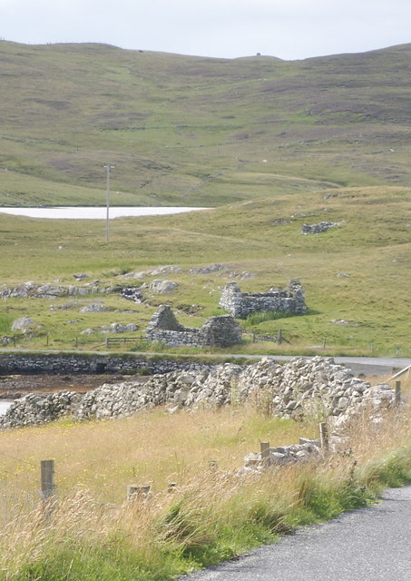
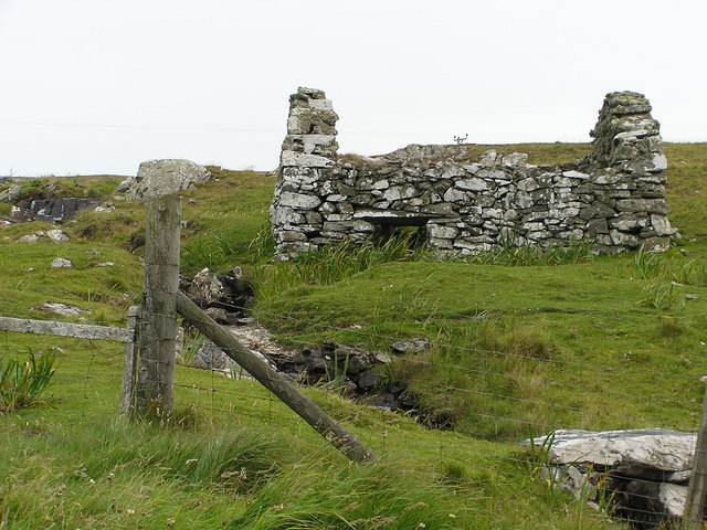
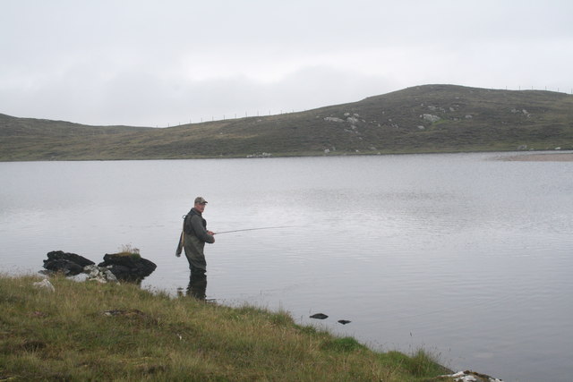
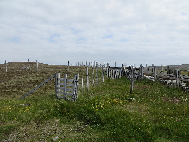
The headland is composed of sedimentary rocks, primarily sandstone and shale, which display striking geological formations. These rocks provide a rich source of information for geologists, offering insights into the region's geological history and processes. The area is also home to a diverse range of flora and fauna, including seabirds, seals, and various marine species.
Sterling Geo is a popular destination for nature enthusiasts and outdoor adventurers. It offers excellent opportunities for hiking, birdwatching, and photography, with its dramatic cliffs and stunning coastal vistas. Visitors can explore the headland via well-maintained walking trails that wind through the surrounding countryside, providing access to hidden coves and secluded beaches.
Overall, Sterling Geo is a remarkable coastal feature in the Shetland Islands, renowned for its stunning natural beauty and geological significance. It exemplifies the rugged charm and unspoiled wilderness that make the Shetland Islands a unique and captivating destination for nature lovers.
If you have any feedback on the listing, please let us know in the comments section below.
Sterling Geo Images
Images are sourced within 2km of 60.223879/-1.6475619 or Grid Reference HU1948. Thanks to Geograph Open Source API. All images are credited.


Sterling Geo is located at Grid Ref: HU1948 (Lat: 60.223879, Lng: -1.6475619)
Unitary Authority: Shetland Islands
Police Authority: Highlands and Islands
What 3 Words
///skimmers.daunted.hoaxes. Near Walls, Shetland Islands
Nearby Locations
Related Wikis

Burrastow
Burrastow is a location on the west shore of Vaila Sound near the village of Walls on the Shetland Mainland, Scotland. There are two small piers and the...

Linga, Vaila Sound
Linga is one of the Shetland Islands, near Vaila and Walls on Mainland, Shetland. Its highest elevation is 28 metres (91 ft). In 2014 and 2018 it was...
Vaila
Vaila (Old Norse: "Valey") is an island in Shetland, Scotland, lying south of the Westland peninsula of the Shetland Mainland. It has an area of 327 hectares...

Walls, Shetland
Walls, known locally as Waas (Old Norse: Vagar = "Sheltered Bays" (voes) - the Ordnance Survey added the "ll" as they thought it was a corruption of "walls...

Scord of Brouster
The Scord of Brouster is one of the earliest Neolithic farm sites in Shetland, Scotland. It has been dated to 2220 BC with a time window of 80 years on...

Broch of Culswick
The Broch of Culswick (also Culswick Broch) is an unexcavated coastal broch in the Shetland Islands of Scotland (grid reference HU25384481). It has...
Browland
Browland is a village on Mainland in Shetland, Scotland situated about 1.9 miles (3 km) east north east of Walls. Browland is within the parish of Sandsting...

Sandness
Sandness (the "d" is not pronounced locally) is a headland and district in the west of Shetland Mainland, Scotland. Sandness was a civil parish, which...
Have you been to Sterling Geo?
Leave your review of Sterling Geo below (or comments, questions and feedback).