Seal Skelly
Coastal Feature, Headland, Point in Aberdeenshire
Scotland
Seal Skelly
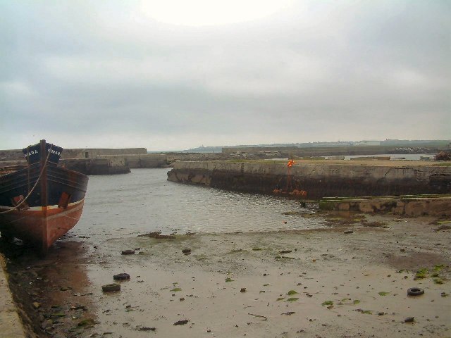
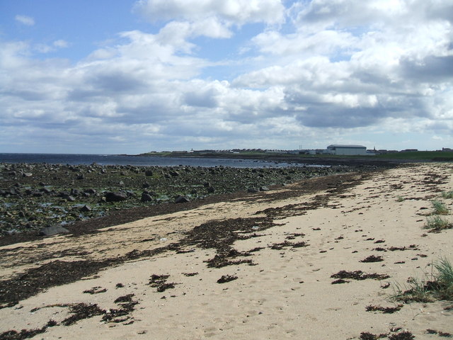
Seal Skelly is a prominent coastal feature located in Aberdeenshire, Scotland. It is a headland or point that juts out into the North Sea, providing breathtaking views of the surrounding coastal landscape. The rocky terrain, combined with its location, makes it a popular destination for tourists and outdoor enthusiasts.
At Seal Skelly, visitors can witness the raw power of the North Sea as waves crash against the rugged cliffs. The headland is known for its stunning rock formations and caves, which are often home to a variety of marine wildlife, including seals that can be spotted basking in the sun or swimming in the nearby waters. These seals are a major attraction for nature lovers and photographers.
The headland offers several vantage points from which visitors can admire the panoramic views of the coastline. On clear days, it is possible to see as far as the distant cliffs and hills that dot the Aberdeenshire landscape. The unspoiled beauty of Seal Skelly makes it an ideal spot for picnics, coastal walks, and birdwatching.
Access to Seal Skelly is relatively easy, with a well-maintained footpath leading from a nearby parking area. However, it is important to exercise caution while exploring the headland, as the terrain can be uneven and slippery. It is also advisable to check the local tide times to avoid being caught out by the incoming tide.
Overall, Seal Skelly is a stunning coastal feature in Aberdeenshire that offers visitors an opportunity to connect with nature, observe wildlife, and enjoy the breathtaking beauty of the Scottish coastline.
If you have any feedback on the listing, please let us know in the comments section below.
Seal Skelly Images
Images are sourced within 2km of 57.699479/-2.0651485 or Grid Reference NJ9667. Thanks to Geograph Open Source API. All images are credited.


Seal Skelly is located at Grid Ref: NJ9667 (Lat: 57.699479, Lng: -2.0651485)
Unitary Authority: Aberdeenshire
Police Authority: North East
What 3 Words
///ruffling.arise.rugs. Near Rosehearty, Aberdeenshire
Nearby Locations
Related Wikis

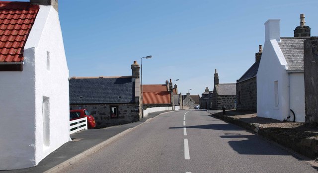
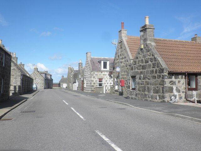
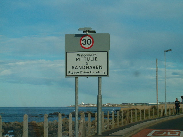
Sandhaven
Sandhaven is a small fishing village in Aberdeenshire, Scotland, which lies between Rosehearty to the west and Fraserburgh to the east. It is joined to...

Pitsligo
Pitsligo was a coastal parish in the historic county of Aberdeenshire, Scotland, containing the fishing villages of Rosehearty, Pittulie and Sandhaven...

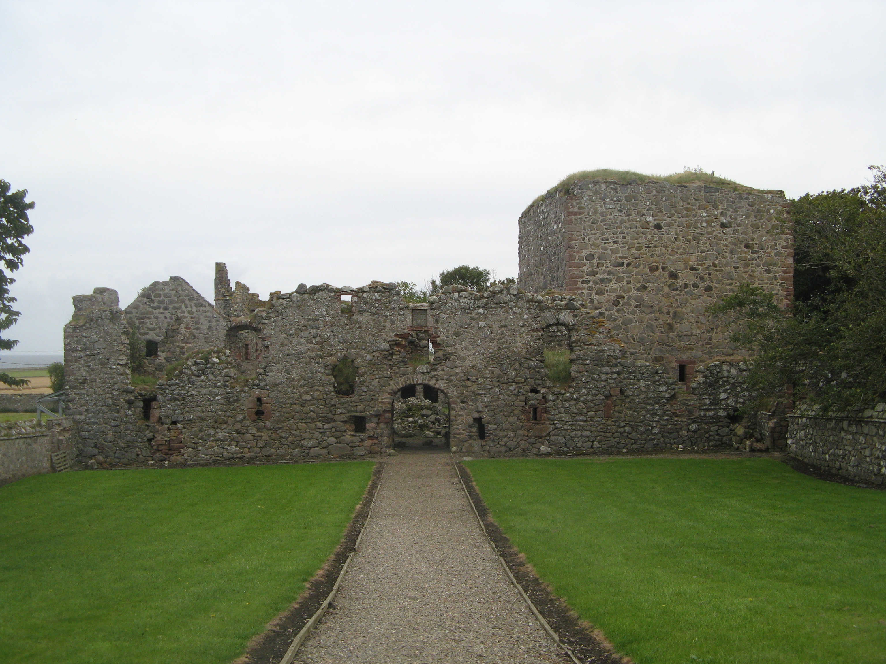
Pittulie Castle
Pittulie Castle is an oblong tower house probably dating from 1596, half a mile from Pitsligo Castle, Rosehearty, Aberdeenshire, Scotland. It is a scheduled...
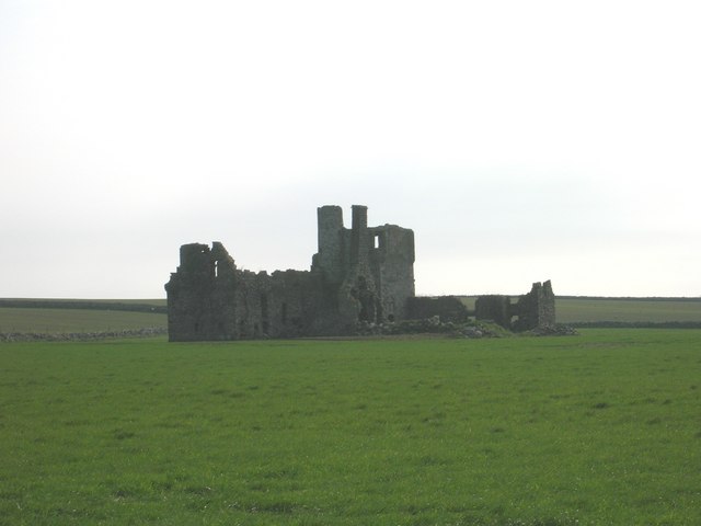
Pitsligo Castle
Pitsligo Castle is a ruined castle half a mile east of Rosehearty, Aberdeenshire, Scotland. Modified in the 1570s by the Forbes of Druminnor, it was described...

Broadsea
Broadsea is a community situated in Aberdeenshire in the north east of Scotland. It is a long-standing fishing community at the north edge of Fraserburgh...

Banff and Buchan College
Banff and Buchan College was until 1 November 2013 the name of the further education institution in Aberdeenshire, Scotland. In November 2013, Banff &...
Fraserburgh United F.C.
Fraserburgh United Football Club are a Scottish football club from the town of Fraserburgh, Aberdeenshire. Members of the Scottish Junior Football Association...

Rosehearty
Rosehearty (Scottish Gaelic: Ros Abhartaich) is a settlement on the Moray Firth coast, four miles west of the town Fraserburgh, in the historical county...
Nearby Amenities
Located within 500m of 57.699479,-2.0651485Have you been to Seal Skelly?
Leave your review of Seal Skelly below (or comments, questions and feedback).