East and West Rona
Coastal Feature, Headland, Point in Aberdeenshire
Scotland
East and West Rona
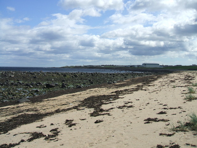
East and West Rona are two distinct headlands located on the Aberdeenshire coast in Scotland. They are situated within close proximity to each other, with East Rona lying to the east and West Rona to the west.
Both headlands are characterized by their rugged and dramatic cliffs that rise steeply from the North Sea. These cliffs are composed of sedimentary rocks, including sandstone and shale, which have been shaped by years of erosion from the relentless waves and wind. The resulting jagged and uneven coastline provides a striking backdrop against the crashing waves below.
East Rona is known for its unique rock formations, which have been weathered into peculiar shapes and patterns over time. These formations include sea stacks, arches, and caves, which attract both nature enthusiasts and photographers alike. The headland offers breathtaking views of the surrounding coastal landscape and is a popular spot for birdwatching, with numerous seabirds nesting along the cliffs.
On the other hand, West Rona boasts a more exposed and windswept terrain. It is characterized by a long, narrow ridge that juts out into the sea, offering panoramic views of the coastline. The headland is a renowned fishing spot, attracting anglers seeking to catch a variety of fish, including cod, mackerel, and haddock.
Both East and West Rona provide a glimpse into the raw and untamed beauty of the Aberdeenshire coastline. Their striking cliffs, unique rock formations, and diverse wildlife make them key attractions for visitors seeking to explore Scotland's coastal wonders.
If you have any feedback on the listing, please let us know in the comments section below.
East and West Rona Images
Images are sourced within 2km of 57.700052/-2.0681023 or Grid Reference NJ9667. Thanks to Geograph Open Source API. All images are credited.


East and West Rona is located at Grid Ref: NJ9667 (Lat: 57.700052, Lng: -2.0681023)
Unitary Authority: Aberdeenshire
Police Authority: North East
What 3 Words
///bunny.beamed.haystack. Near Rosehearty, Aberdeenshire
Nearby Locations
Related Wikis

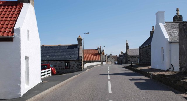
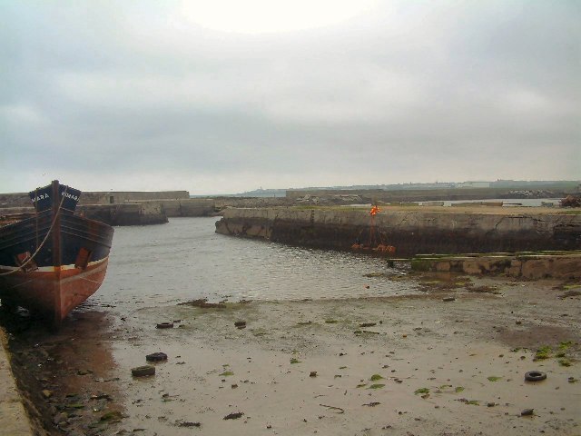
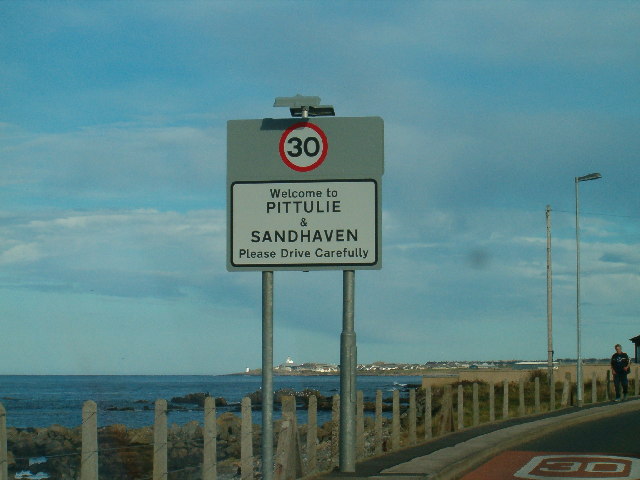
Sandhaven
Sandhaven is a small fishing village in Aberdeenshire, Scotland, which lies between Rosehearty to the west and Fraserburgh to the east. It is joined to...

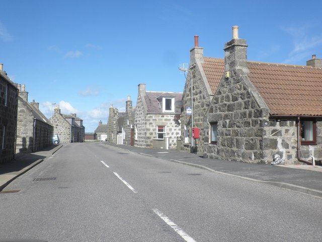
Pitsligo
Pitsligo was a coastal parish in the historic county of Aberdeenshire, Scotland, containing the fishing villages of Rosehearty, Pittulie and Sandhaven...

Pittulie Castle
Pittulie Castle is an oblong tower house probably dating from 1596, half a mile from Pitsligo Castle, Rosehearty, Aberdeenshire, Scotland. It is a scheduled...
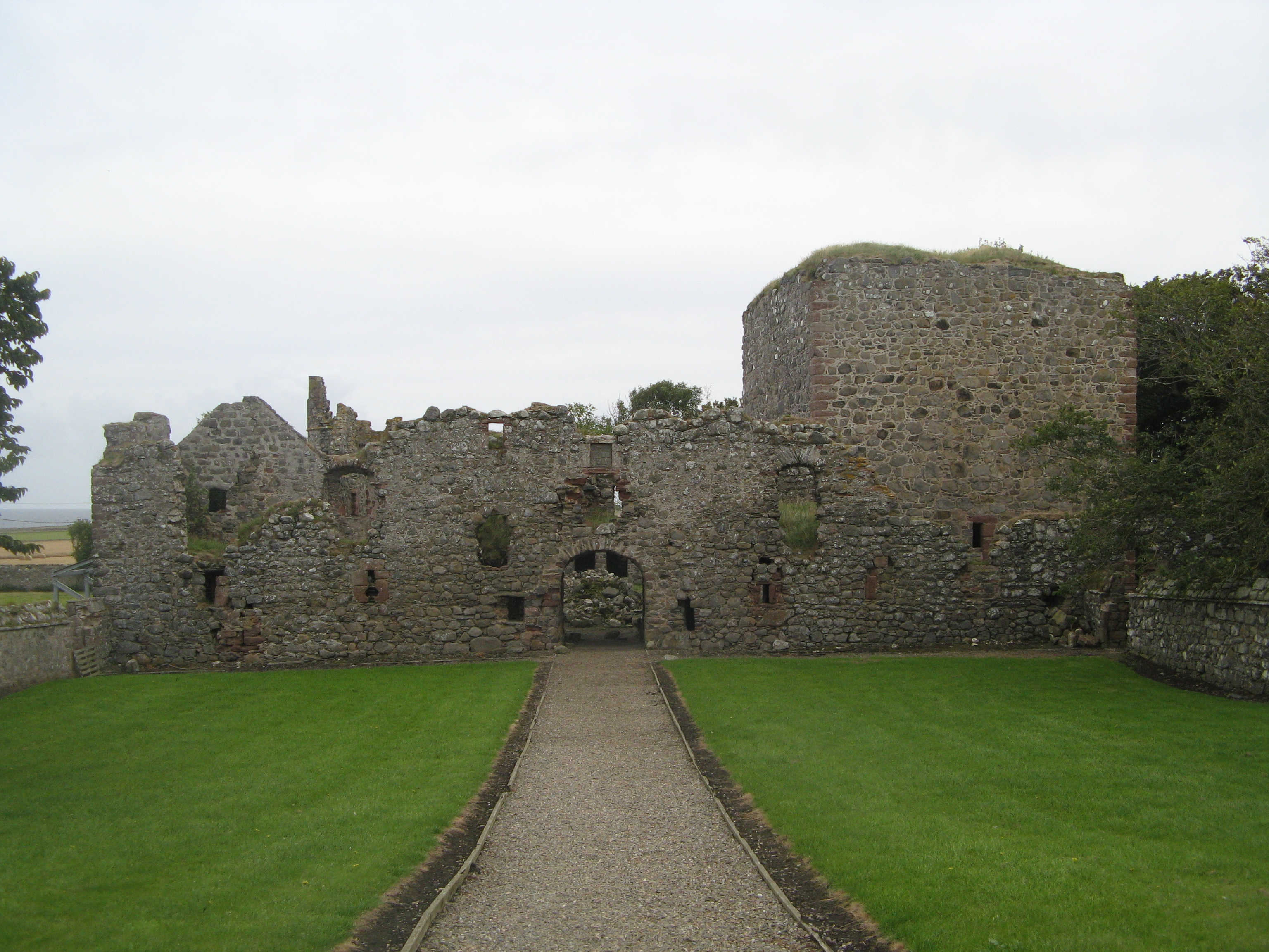
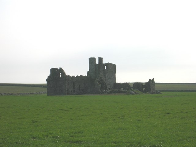
Pitsligo Castle
Pitsligo Castle is a ruined castle half a mile east of Rosehearty, Aberdeenshire, Scotland. Modified in the 1570s by the Forbes of Druminnor, it was described...
Nearby Amenities
Located within 500m of 57.700052,-2.0681023Have you been to East and West Rona?
Leave your review of East and West Rona below (or comments, questions and feedback).