Deil's Kettle
Coastal Feature, Headland, Point in Kincardineshire
Scotland
Deil's Kettle
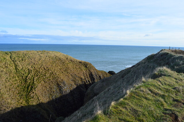
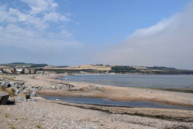
Deil's Kettle is a notable coastal feature located in Kincardineshire, Scotland. Situated on a rugged headland, this natural wonder is renowned for its unique geological formation and captivating beauty.
The name "Deil's Kettle" derives from the Scottish word "Deil," meaning devil, and "kettle," referring to a deep, circular cavity. The main attraction of Deil's Kettle is a large, cylindrical hole carved out by the relentless action of waves over centuries. This hole, measuring approximately 20 feet in diameter, appears like a giant cauldron embedded within the coastal cliffs.
The origins of Deil's Kettle are still subject to debate among geologists. One theory suggests that it was formed during the last Ice Age when meltwater halted in a hollow and created a whirlpool effect, gradually eroding the underlying rocks. Another hypothesis proposes that the hole was formed by the powerful force of waves crashing against a weak point in the cliff face.
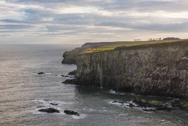
Regardless of its origin, Deil's Kettle offers a mesmerizing spectacle to visitors. The surrounding headland is composed of rugged cliffs, with exposed layers of sedimentary rock displaying a range of colors, from deep reds to vibrant yellows. The crashing waves and the constant erosion have sculpted intricate patterns into the rocks, adding to the site's allure.
Deil's Kettle attracts both nature enthusiasts and geology aficionados, who come to marvel at its natural beauty and ponder its formation. The coastal location also provides an excellent vantage point for observing seabirds, such as gulls and cormorants, as they soar above the tumultuous waters.
If you have any feedback on the listing, please let us know in the comments section below.
Deil's Kettle Images
Images are sourced within 2km of 56.952455/-2.194566 or Grid Reference NO8884. Thanks to Geograph Open Source API. All images are credited.
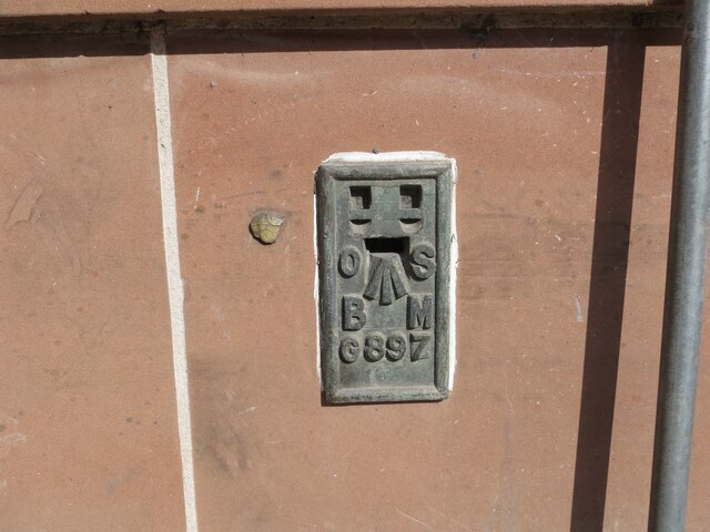


Deil's Kettle is located at Grid Ref: NO8884 (Lat: 56.952455, Lng: -2.194566)
Unitary Authority: Aberdeenshire
Police Authority: North East
What 3 Words
///verifying.eager.reef. Near Stonehaven, Aberdeenshire
Nearby Locations
Related Wikis

Dunnicaer
Dunnicaer, or Dun-na-caer, is a precipitous sea stack just off the coast of Aberdeenshire, Scotland, between Dunnottar Castle and Stonehaven. Despite the...

Bowdun Head
Bowdun Head is a headland landform on the North Sea coast approximately one kilometre south of Stonehaven, Scotland.(Ordnance Survey, 2004) Slightly to...

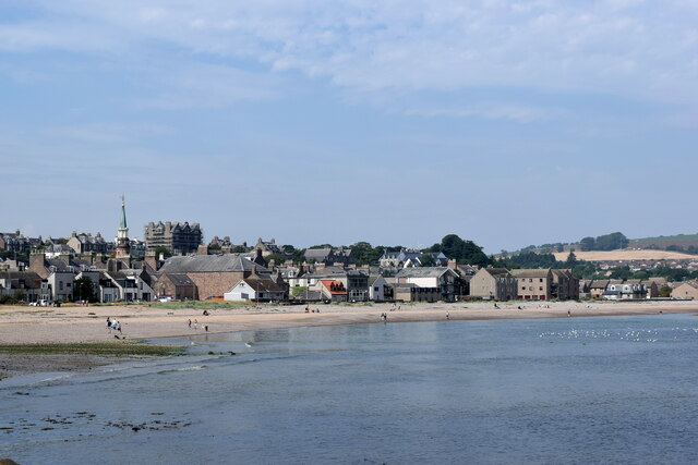
Strathlethan Bay
Strathlethan Bay is on the North Sea coast of Aberdeenshire, Scotland just south of Stonehaven. To the north is Downie Point near which lies Stonehaven...
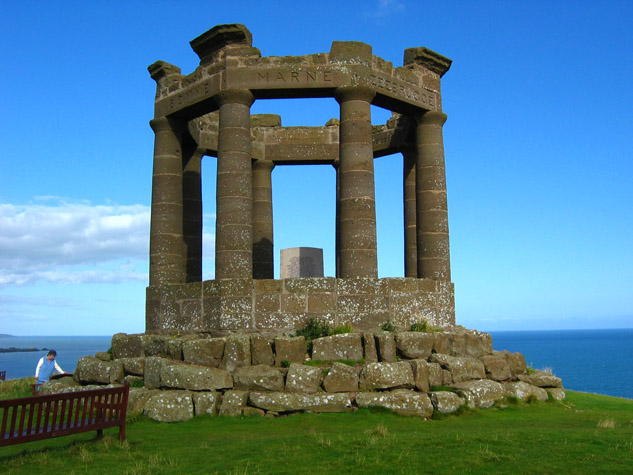
Stonehaven War Memorial
Stonehaven War Memorial is a war memorial situated on Black Hill overlooking Stonehaven in Scotland. == History == The memorial was designed by a Stonehaven...
Downie Point
Downie Point is a prominent headland located at the southern edge of Stonehaven Bay in Aberdeenshire, Scotland. (United Kingdom, 2004) From the Stonehaven...

Dunnottar Castle
Dunnottar Castle (Scottish Gaelic: Dùn Fhoithear, "fort on the shelving slope") is a ruined medieval fortress located upon a rocky headland on the north...

Bellman's Head
Bellman's Head is a headland point comprising the northern boundary of Stonehaven Bay in Stonehaven, Scotland. The corresponding headland at the south...

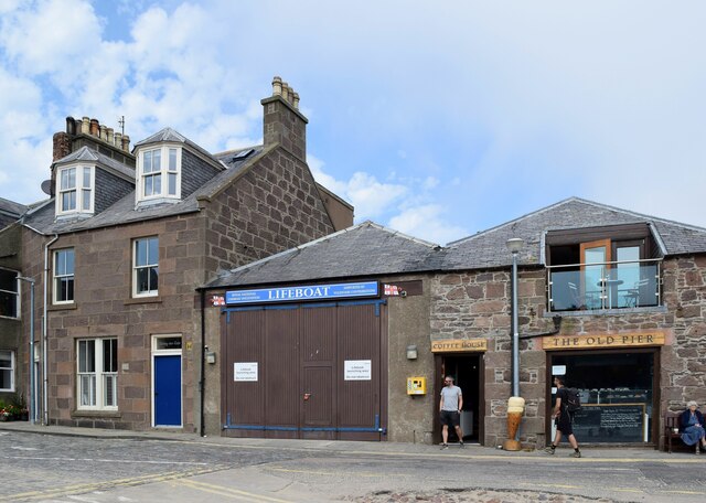
Stonehaven Tolbooth
The Stonehaven Tolbooth is a late 16th-century stone building originally used as a courthouse and a prison in the town of Stonehaven, Aberdeenshire, Scotland...
Nearby Amenities
Located within 500m of 56.952455,-2.194566Have you been to Deil's Kettle?
Leave your review of Deil's Kettle below (or comments, questions and feedback).